See autumn in all its glory on this California weekend trip
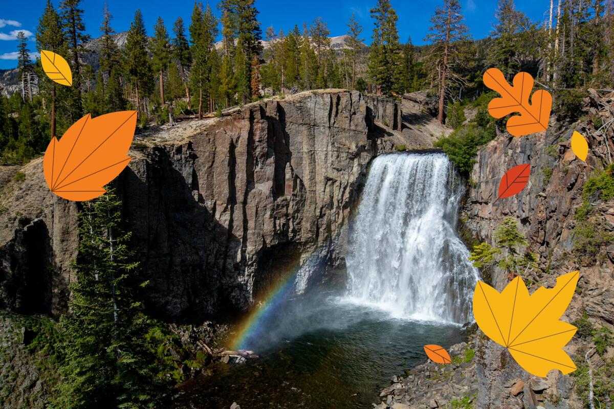
Good morning, fellow Escapists. The Sierra is in the midst of a transition, as crowds dissipate following Labor Day weekend, temperatures inch cooler (ever so slightly) and some campgrounds and roads close for the season.
It may be hard to believe given the record-breaking heat that scorched Southern California last weekend, but the mountains’ autumn leaves are right around the corner.
In other places around the world, a so-called false autumn has taken hold, with leaves changing color and falling earlier than usual. It’s a grim sign of climate change’s toll on our wildlands, parks and other green spaces.
In this edition of Escapes, you’ll find a last-minute trip to take near Mammoth before mid-October, a tool for finding the best fall leaf shows, a sneak peek at a 600-mile trail system in the works in the northern Sierra and more.
Before we dive into autumn travel, I’d like to reflect on the past summer. Did you embark on any fun or memorable trips? It doesn’t matter how near or far you ventured — I’d love to hear your stories. Please consider sharing using this form.
Get inspired to get away.
Explore California, the West and beyond with the weekly Escapes newsletter.
You may occasionally receive promotional content from the Los Angeles Times.
Traveling to Yosemite? Check current conditions
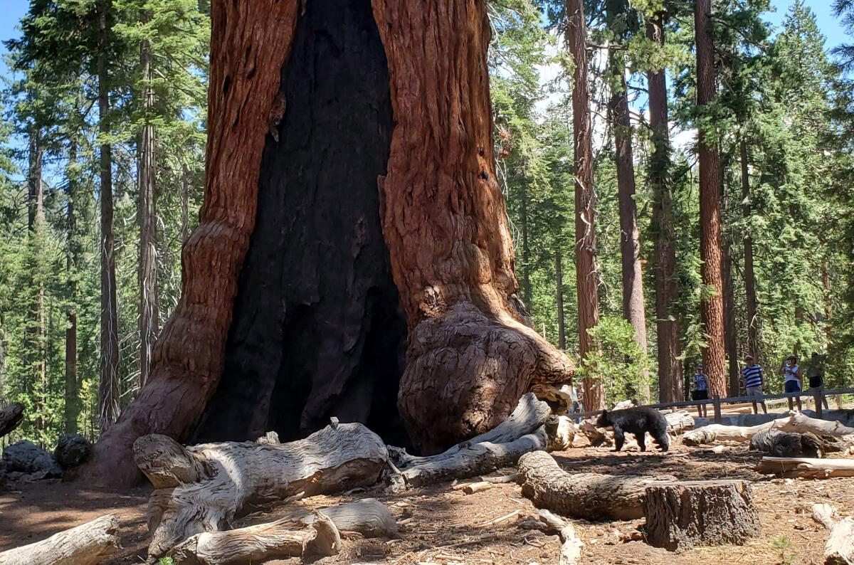
Last month, Yosemite National Park once again welcomed the public to its famous grove of giant sequoias after they had been endangered by the nearly 5,000-acre Washburn fire.
The reopening of Mariposa Grove, the site of more than 500 mature giant sequoias, was “one of the best days I’ve had in a long time,” Yosemite park ranger Scott Gediman told The Times’ Itzel Luna. “People were thrilled to see the Mariposa Grove and relieved a little bit because they were worried about the trees.”
Despite the celebration — which was attended by Californians as well as travelers from France, Israel, England and beyond — wildfire conditions are still affecting visitors to the park. As of Monday, three fires were burning in Yosemite, closing some trails, and the park warned visitors to expect smoky conditions.
This underscores the importance of checking for the latest alerts and conditions before making trips to the Sierra and other wilderness areas, especially during the late weeks of summer and fall in California. If you go, make sure to follow proper wildfire safety practices — here are some basic guidelines to keep in mind.
Plan a last-minute trip to a popular valley outside Mammoth
Fifty miles from Yosemite is Reds Meadow Valley, home to famous sites such as Devils Postpile National Monument and Rainbow Falls.
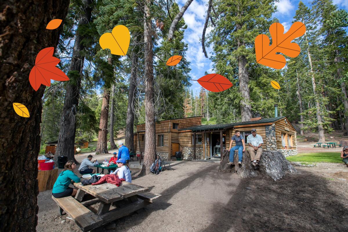
Another great spot within the valley? Red’s Meadow Resort, “a little backwoods kind of place” beloved among backpackers toughing it out on the John Muir Trail and Pacific Crest Trail, as well as by day hikers venturing from Mammoth Lakes. It’s home to a store, cafe, cabins, a pack station with 60 equines and more.
“Mammoth is getting more and more upscale, and yet we’re trying to keep this as close to a wilderness experience as possible,” Bobby Tanner, owner of Red’s Meadow Resort and Pack Station, told Times travel writer Christopher Reynolds.
Although thru-hiking takes Herculean amounts of effort, it’s possible to visit Reds Meadow Valley on a 45-minute shuttle bus ride or car trip from Mammoth. (Note: The shuttle service is now closed for the season.)
Starting at the Devils Postpile trailhead, hikers “make [their] way to the rocks, marvel at the eerie symmetry of the hexagonal basalt columns, then go on to admire Rainbow Falls from above and below,” Reynolds describes.
“Along the way, you gaze toward the walls of granite on the west side of the valley and see a series of jagged peaks known as the Minarets. You’ll see and hear the Middle Fork of the San Joaquin River as it meanders the valley floor.”
After about four miles, hikers arrive at Red’s Meadow Resort — a welcome respite amid all the rugged beauty.
If you’d like to visit this year, you’ll need to act fast. The access road to Devils Postpile will close for the season on Oct. 11. Keep an eye on this page for the latest information.
Take a hike in the northern Sierra
The Swiss Alps are famous for their village-to-village hikes, where trekkers can cover dozens of miles over the course of a week or two. There’s no need to lug a heavy pack filled with a tent and extensive food supplies — instead, it’s possible to take shelter each night in small, spartan but cozy inns.
Long-distance hikers in California have no such luxury — but that may eventually change.
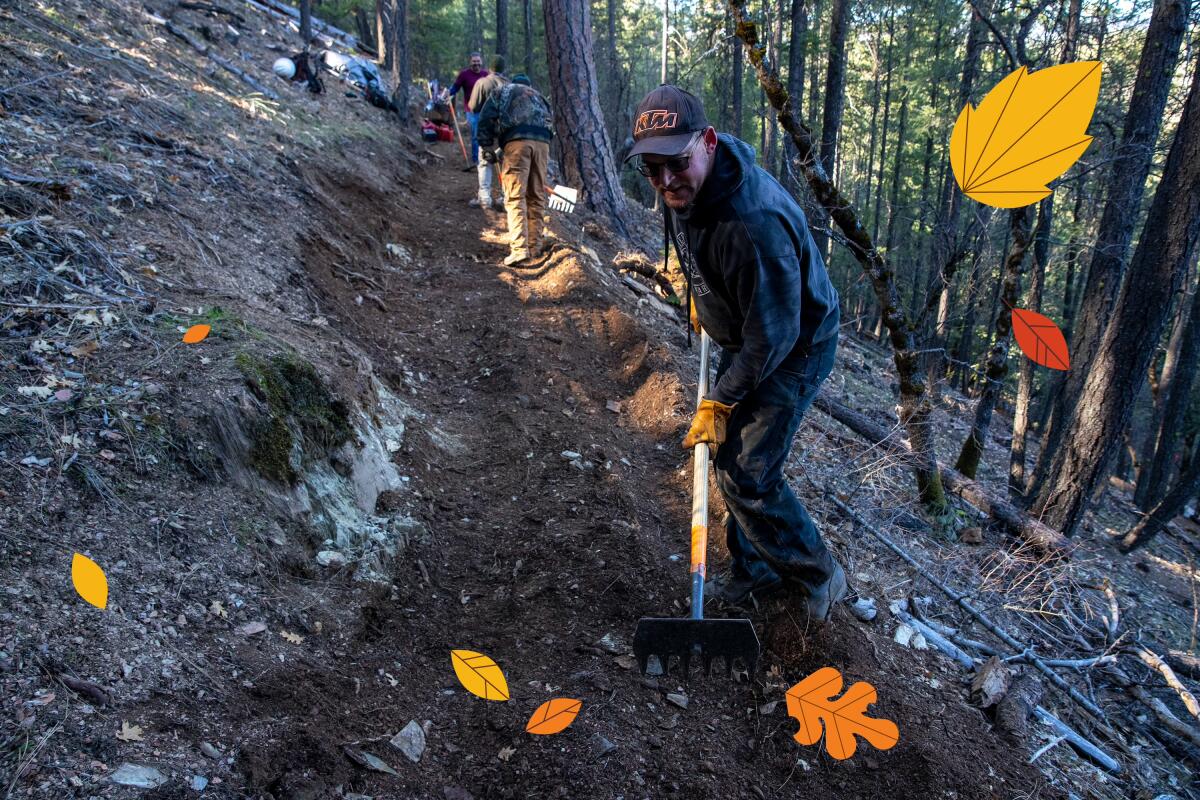
One day, 600 miles of trails may connect out-of-the-way towns such as Downieville, Sierra City and Chester. The ambitious project, already in progress for the last several years, is called “Connecting Communities Through the Lost Sierra Route.”
“If all goes as planned, mountain bikers, off-road bikers and hikers would flood in, drawn by the opportunity to traverse from town to town,” writes Times staff writer Jessica Garrison in her story about the project. “They would exult in the stark beauty of the landscape, spend oodles of money in local restaurants, bars and hotels, and then go home again — hopefully without driving up housing prices too much.”
I recommend giving Garrison’s story a close read — it provides a fascinating look at what the Lost Sierra Route could mean for remote California towns, as well as the project’s challenges (such as wildfires and the risk of turning these communities into “another Truckee.”)
In the meantime, if you’d like a preview of what these trails may look like for hikers, I recommend planning a trip up north this fall.
Eight hours by car from L.A. and less than two hours from the Reno-Tahoe International Airport, Downieville is a good home base for exploring. In addition to hiking, Sierra Buttes Trail Stewardship recommends checking out local establishments such as the Downieville General Store; St. Charles Place bar, a local landmark; and La Cocina de Oro restaurant.
Enjoying this newsletter? Consider subscribing to the Los Angeles Times
Your support helps us deliver the news that matters most. Become a subscriber.
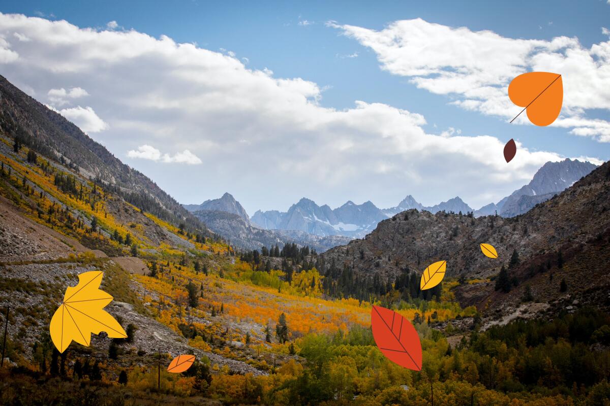
Keep tabs on the Sierra’s changing leaves
“Dude, autumn happens here, too.” That’s the tagline of California Fall Color, a resource for aspiring leaf peepers planning to head to the Sierra and beyond in the next few months.
Anyone hoping to plan a road trip up to Hope Valley, Convict Lake or another classic autumn destination in the Sierra should keep tabs on California Fall Color’s map. It shows which areas haven’t started changing color yet, which trees are nearing their peak and those that have passed their prime.
Where have you had luck spotting some changing leaves in autumns past? Let me know and I may pass your suggestions on in a future edition of Escapes.
One last thing
Here’s a tip: Before heading off on your next hiking trip, make sure to pop by your local Asian supermarket for some snacks.
“As an avid hiker, I’ve found that the best fuel for my outdoor adventures doesn’t come from the ‘performance food’ section of REI or Patagonia. It’s right there on the shelves at H Mart, 99 Ranch and Mitsuwa,” writes Times contributor and Wild author Matt Pawlik.
He rounded up a list of his nine favorite snacks. Take a look here.
For more inspiration for weekend getaways, check out past editions of Escapes. To see this newsletter in your browser, click here.
Sign up for The Wild
We’ll help you find the best places to hike, bike and run, as well as the perfect silent spots for meditation and yoga.
You may occasionally receive promotional content from the Los Angeles Times.


