7 SoCal hikes that will help you train for the Holy Grail that is Mt. Whitney
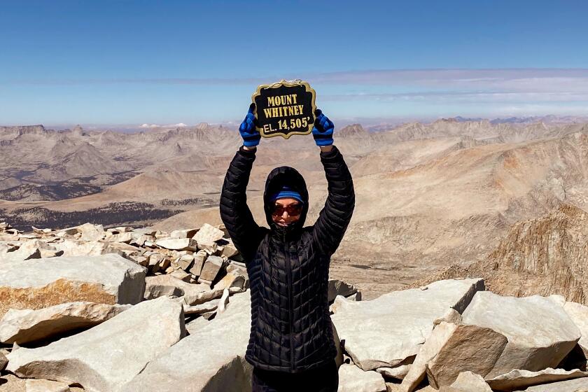
It may not come as a shock when I tell you that hiking to the summit of Mt. Whitney, the tallest mountain peak in the Lower 48, won’t be easy. First, you’ll need to navigate the complex permit process and lottery. Then you’ll have to spend a good deal of time training — the hike is long, tough and steep, gaining more than 6,200 feet of elevation. And finally, you’ll need to plan out the logistics: how you’ll fend off bears and marmots (make sure to carry a bear canister), what you’ll do if you experience altitude sickness (know that there’s no shame in descending) and how’ll you do your business in the wild (use a WAG bag — they’re not as bad as you think).
And this is all before you take your first step onto the mountain.
So why would you want to join the flock of people who try to summit Mt. Whitney, which towers over the town of Lone Pine in the Sierra Nevada range? Aside from bragging rights (“I was at the tallest point of the Lower 48!”), it’s an unforgettable experience filled with stunning scenery and a challenge that will stretch your boundaries both physically and mentally.
The good news is that with the right training, the trek to Mt. Whitney is attainable for many hikers. I’ve rounded up some exceptional hikes in Southern California that can help you get ready for the big one, whether you’ve scored a permit for this year or are aiming for 2023. Each falls into one of three categories: “steep,” “high-altitude” and “long, steep and high-altitude.” Try hikes in last category after you’ve mastered those in the first two.
A novice hiker trudged up Mt. Whitney to feel closer to her brother, who summited the peak just days before he died on another mountain.
Vital Link Trail
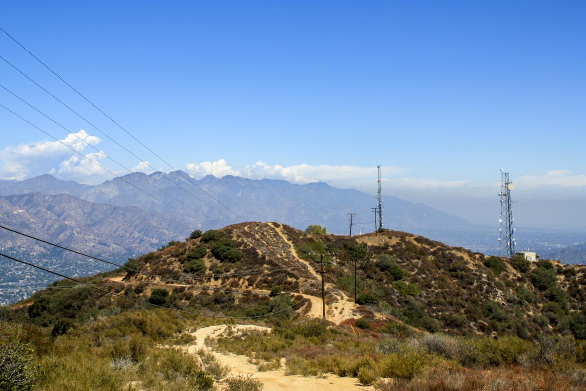
Wedged between the more well-known Santa Monicas and the taller San Gabriels, the oft-overlooked Verudgo Mountains offer a wide range of hiking areas and options that are mostly known by locals. One example: Just beyond some calm golf courses and quiet canyon roads, Wildwood Canyon Park holds one of the toughest fitness hikes in L.A. The Vital Link Trail makes a no-nonsense, no-shade ascent from the bottom of Wildwood Canyon to the top of the Verdugos, where a network of fire roads offers options in all directions. Head to Verdugo Peak if you need to bag a summit, or just feel the burn all the way up.
Baldwin Hills Scenic Overlook
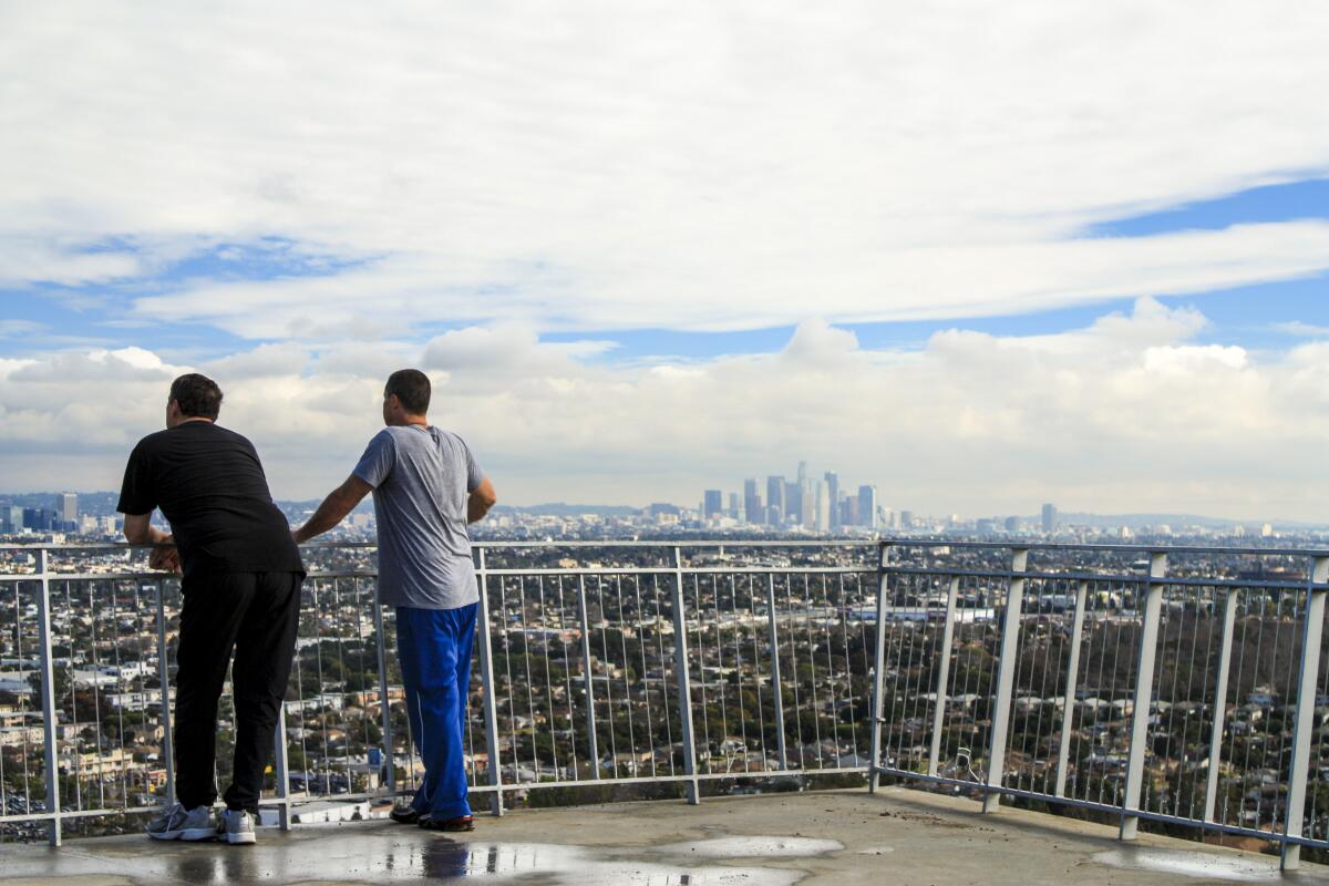
Known as the “Culver City Stairs” to most locals, this short route located just south of Ballona Creek is popular with all kinds of fitness-minded types. You won’t have a lot of solitude here, but you will get a solid glute workout, climbing more than 340 feet in around 0.2 miles. Enjoy the sweeping views at the top, then either run down the gentler switchbacks of the Hillside Trail or wake up your knees by heading back down the stairs (that’s good training for Whitney). Once you get to the bottom, give it another go or two.
Parking is $2 per hour or $6 per day. Street parking is alsoavailable.
Jones Peak
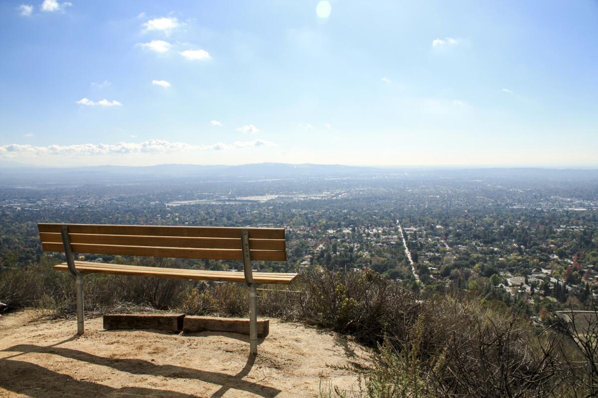
Sierra Madre was the first town in Southern California to establish its own wilderness preserve — and it’s still in great shape. At Bailey Canyon Wilderness Park, you’ll find shaded picnic areas and a short interpretive trail detailing the region’s native plants. Head north toward Jones Peak and there’s a short, 0.2-mile side trip into Bailey Canyon, which has an ephemeral waterfall, which some rock climbers use to train.
But the climbing you’re doing to train for Mt. Whitney starts in earnest on the Jones Peak Trail, which rises through chaparral and sage scrub in relentless switchbacks on its way to the summit. From your perch here, you’ll have breathtaking views of the San Gabriel Valley and beyond.
Mt. San Jacinto via Mountain Station
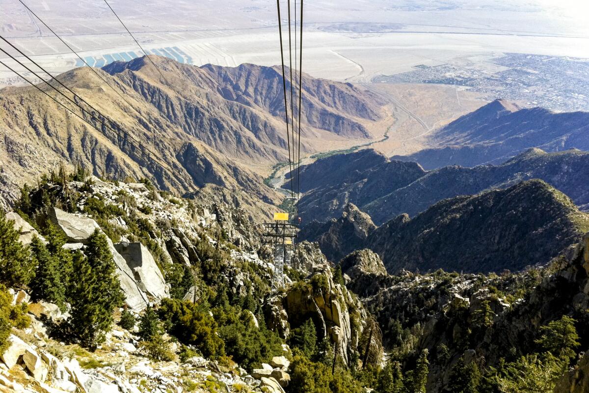
You may know Mt. San Jacinto as that nearly-sheer rock tower you see from the 10 Freeway on the way to Palm Springs, but it’s also the second-tallest peak in Southern California, and of the “Three Saints” (Gorgonio, Jacinto and Antonio), it’s the only one that lets you ride a fancy rotating tram a good deal of the way up. Beyond the views, this ride is also an altitude system-shock for your body, bringing you up almost 6,000 feet in under nine minutes. The rest of the hike to the summit proper is relatively moderate, but you’ll definitely feel it. There are places to camp if you want to practice sleeping up this high, but this is also a very doable day hike. Tickets are required for the Palm Springs Aerial Tramway, which gets you to the hike.
Mt. Baden-Powell
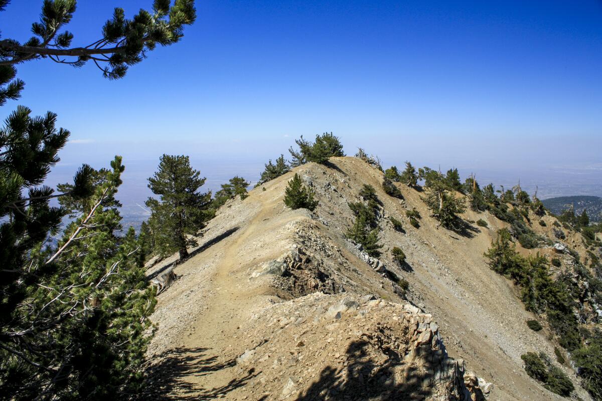
In the San Gabriels, Mt. Baden-Powell is the highest peak that’s not part of the same formation as Mt. San Antonio (a.k.a. Mt. Baldy). Its summit is just a short side-trip off the Pacific Crest Trail and a popular spot for Scouts training for tough backpacking trips, so if you wanted to take your full pack along with you on this steep switchbacking route, you’ll likely be in good company. Be sure to take a quick detour to stop by the Wally Waldron Tree, a limber pine believed to be the oldest-living tree in the San Gabriel Mountains. Adventure Pass required.
Bighorn and Ontario Peaks
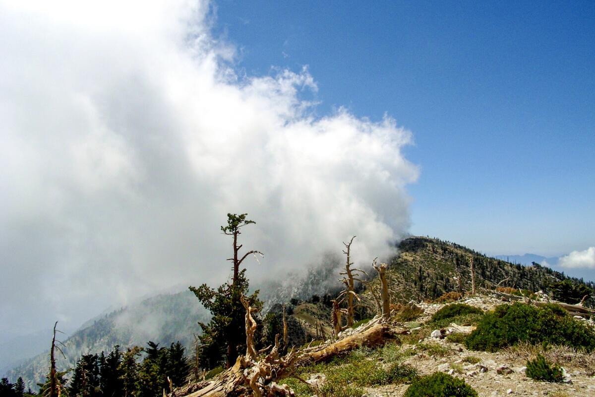
You’ll want to stretch out for this one — a full-day or overnight trek that starts at the popular (and often crowded) Icehouse Canyon. Start your climb along the shaded, spring-fed creek. As you top out above the tree line, the crowds will thin, and at Icehouse Saddle, the vast majority of hikers will head to Cucamonga Peak. You’re headed to a stunning ridge on the front range with unbelievable views westward of the entire San Gabriels. Bag two peaks and head back or set up a tent at Kelly Camp and spend the night. Adventure Pass required at trailhead. Self-issued Wilderness Permit required for day hike and Wilderness Permit required to camp.
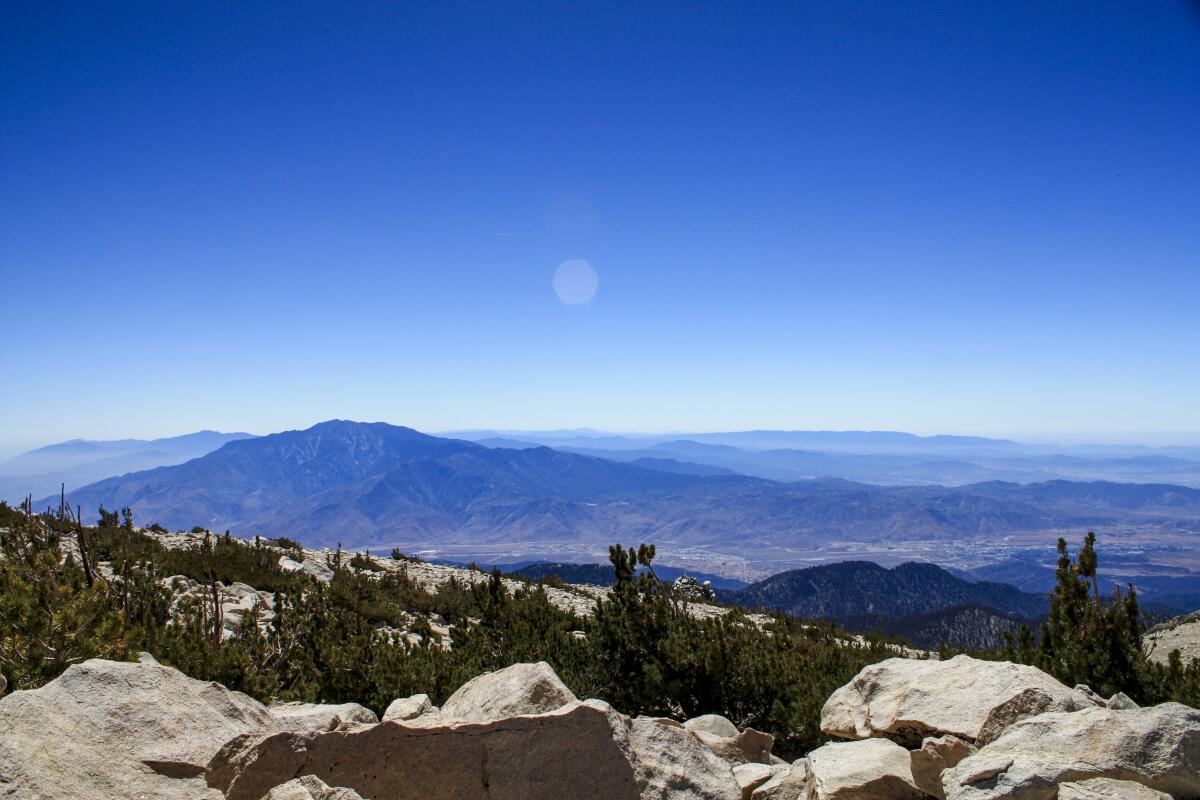
Mt. San Gorgonio
There’s really no better practice for bagging a big Sierra peak than spending some time bagging a big local peak, and San Gorgonio is one of the best. At 11,502 feet tall, it’s the highest in Southern California. It can be approached from a number of ways, but this longer trek on the South Fork Trail is a bit more gradual on the elevation gain, which your knees will appreciate both on the way up and on the way down. Similar to your trip on Whitney, you’ll want to check with the rangers and locals for the condition of springs and campgrounds before you trek — if you have to pack in water, that adds a lot of weight.
There are plenty of places to stay the night, but leave your pack at camp before you summit. The last mile or so to the top is one of the toughest, but it’s also extremely similar to the final summit push for Mt. Whitney. Adventure Pass required at trailhead. Permits required to day hike and camp.
Sign up for The Wild
We’ll help you find the best places to hike, bike and run, as well as the perfect silent spots for meditation and yoga.
You may occasionally receive promotional content from the Los Angeles Times.
