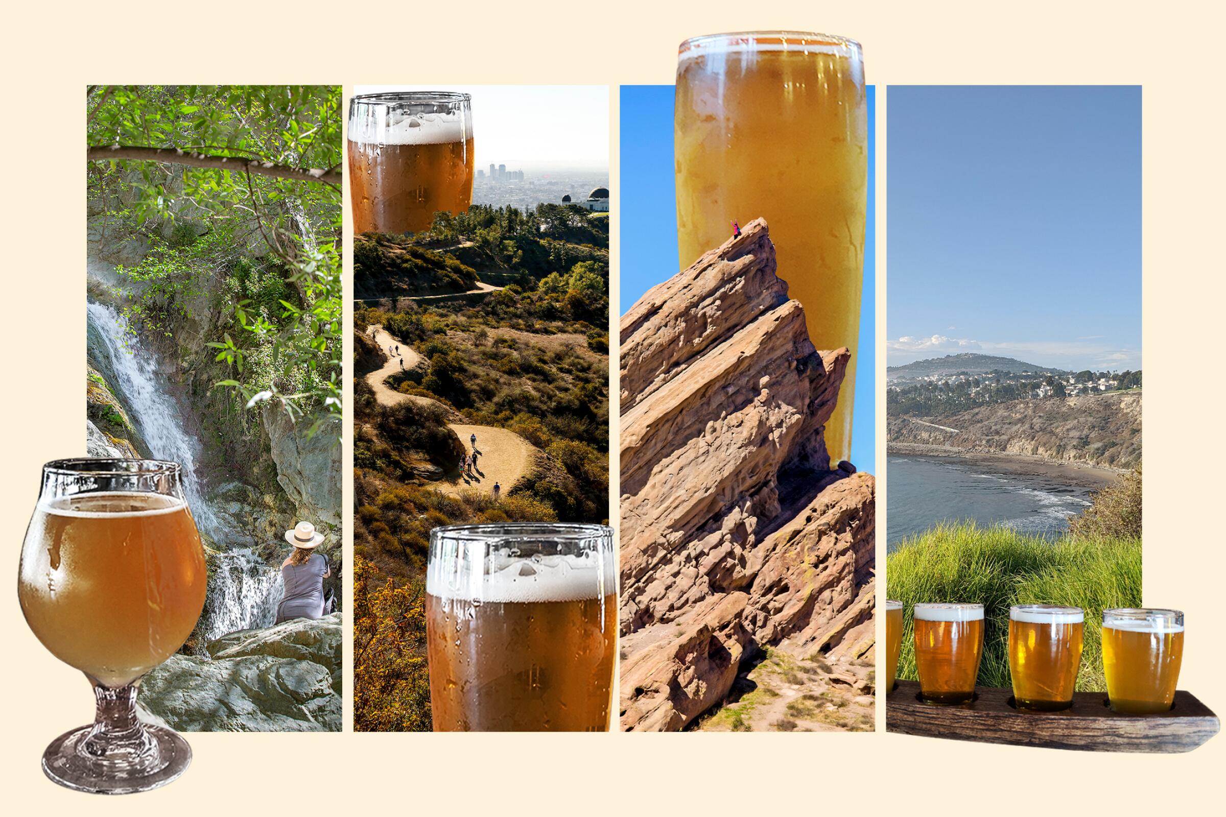
Every wonderful thing deserves a similarly wonderful follow-up. Dinner? Dessert. Hot sauna? Ice bath. “Paddington”? “Paddington 2.” Movie sequels aside, under Southern California’s sunshine, there may be nothing better than a hard-earned libation after a trek. What’s a workout without a reward?
Here’s my 30-pack of hikes and local breweries, from easy urban jaunts to challenging summits, paired with craft beverages near each trailhead. Consider this a list of nature strolls and watering holes — or trails and ales — and add some of your own. Beers change regularly (so don’t panic if they’re out of my recommended brew) as do hours.
In the meantime, go with the grain, and hop from west to (y)east (or the reverse) on these 30 thirst-quenching L.A. crawls. Cheers!
Antelope Valley | Central L.A. | Inland Empire | Northeast L.A. | Orange County | San Gabriel Valley | San Fernando Valley | Santa Clarita | Santa Monica Mountains | South Bay | Ventura County
Vasquez Rocks and Agua Dulce Winery
Vasquez Rocks
Distance from winery: 3.7 miles
Agua Dulce Winery
Hours: 11 a.m. to 5:30 p.m. Wednesdays to Sundays
Imagine a place where movie buffs, history nerds, adventure seekers, geological geeks and wanderlusting wine lovers all find sacred refuge. Enter Agua Dulce, home to the one-of-a-kind Vasquez Rocks Natural Area and the Agua Dulce Winery.
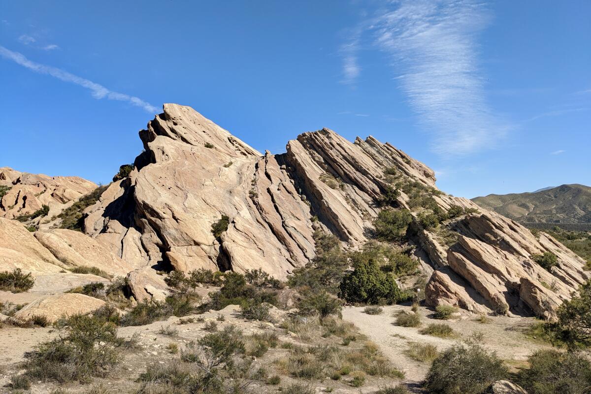
Explore the sandstone giants on a 3.75-mile loop, part of which overlaps with the Pacific Crest Trail. You’ll be walking amid film locales (think alien terrain in “Star Trek,” the 1960s TV series and subsequent movies); the ancient community of Tataviam; and an outlaw’s hideout. The real reason to go is to see the remarkable tilted slabs and top-notch boulder scrambling sites at the 932-acre park. Check out the exhibits at the nature center and grab a map, following signs for the Nature Heritage Trail. You’ll pass a campground, various interpretive signs for local flora (like California juniper, yucca and sagebrush) and a Tataviam dwelling, grinding bowl and pictograph. Soon, the real rock stars come into view, which were named after the notorious bandit Tiburcio Vásquez, who used to meet up with his gang and hide from the law here. The 45-degree-leaning sedimentary behemoths were formed by roughly 25 million years of erosion. Whether you favor sci-fi or bandits, the rocks are truly an impressive sight. Continue south to take in vistas of rolling hills with rocky outcroppings as well as the small Sierra Pelona mountain range. There are plenty of single-track spur trails to further explore. Eventually, you connect with the PCT and then the Geology Trail, which deposits you back at the trailhead.
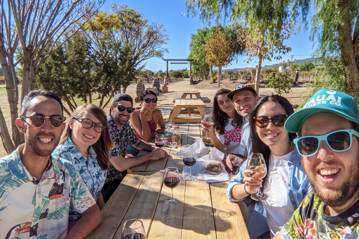
After, rock your palate at Agua Dulce Winery, which serves reds, whites and rosés straight from its local vineyard. Take time to enjoy a sampler, but don’t miss exploring the beautiful 90-acre grounds, which house chickens, goats, horses and alpacas.
Prime Desert Woodland Preserve and Brävery Brewing and Thief and Barrel Winery
Prime Desert Woodland Preserve
Distance from brewery: 3.3 miles and distance from winery: 4.2 miles
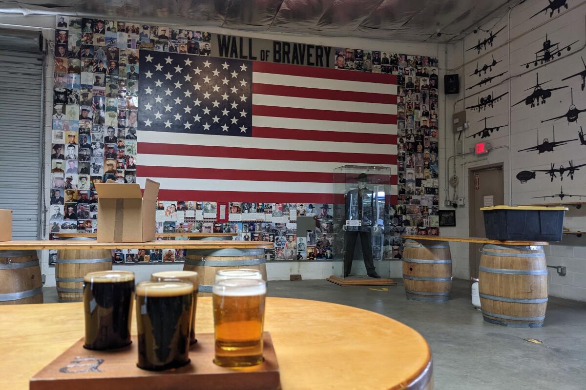
Brävery Brewing
Hours: 11 a.m. to 10 p.m. Mondays to Wednesdays; 11 a.m. to 11 p.m. Thursdays to Saturdays; 11 a.m. to 9 p.m. Sundays
Thief and Barrel Winery
Hours: 3 to 7 p.m. Fridays; noon to 5 p.m. Saturdays and Sundays
Where can you find California’s most iconic desert species, most photographed spring flowers and most important aquatic engineering system?
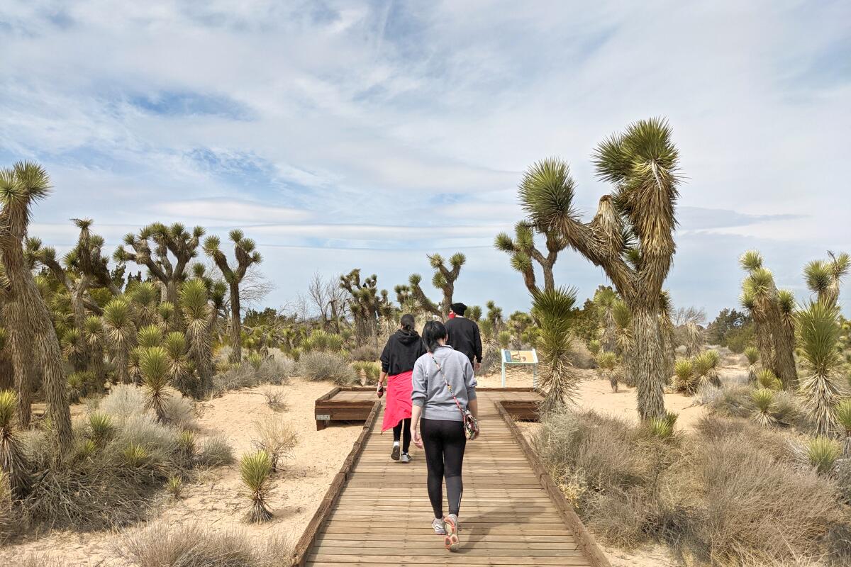
Lancaster, L.A.’s high desert home base, best known for its astonishing orange bloom blanket (in good years) at the Antelope Valley California Poppy Reserve, is the place. The area also is worthy of a visit during less-visited months when temperatures are cool. Check out a three-mile stroll through Prime Desert Woodland Preserve that captures the local essence of the high desert. You’ll find signs to inform you about the landscape at the 120-acre preserve, maneuver through the densest grove of Joshua trees around (they aren’t actually trees but yucca) and various local flora, such as an 800-year old creosote bush. Check out the interpretive center to learn more about the history and find art exhibits.
Next stop: Lancaster libations. For beer, hit up Brävery Brewing, known for its comprehensive house tap list. One highlight is the variety of barrel-aged iterations of its flagship stout (from bourbon to brandy to Islay scotch to tequila). For wine, Thief & Barrel serves sweet and dry whites, reds, and specialty offerings.
Downtown L.A. and Arts District breweries
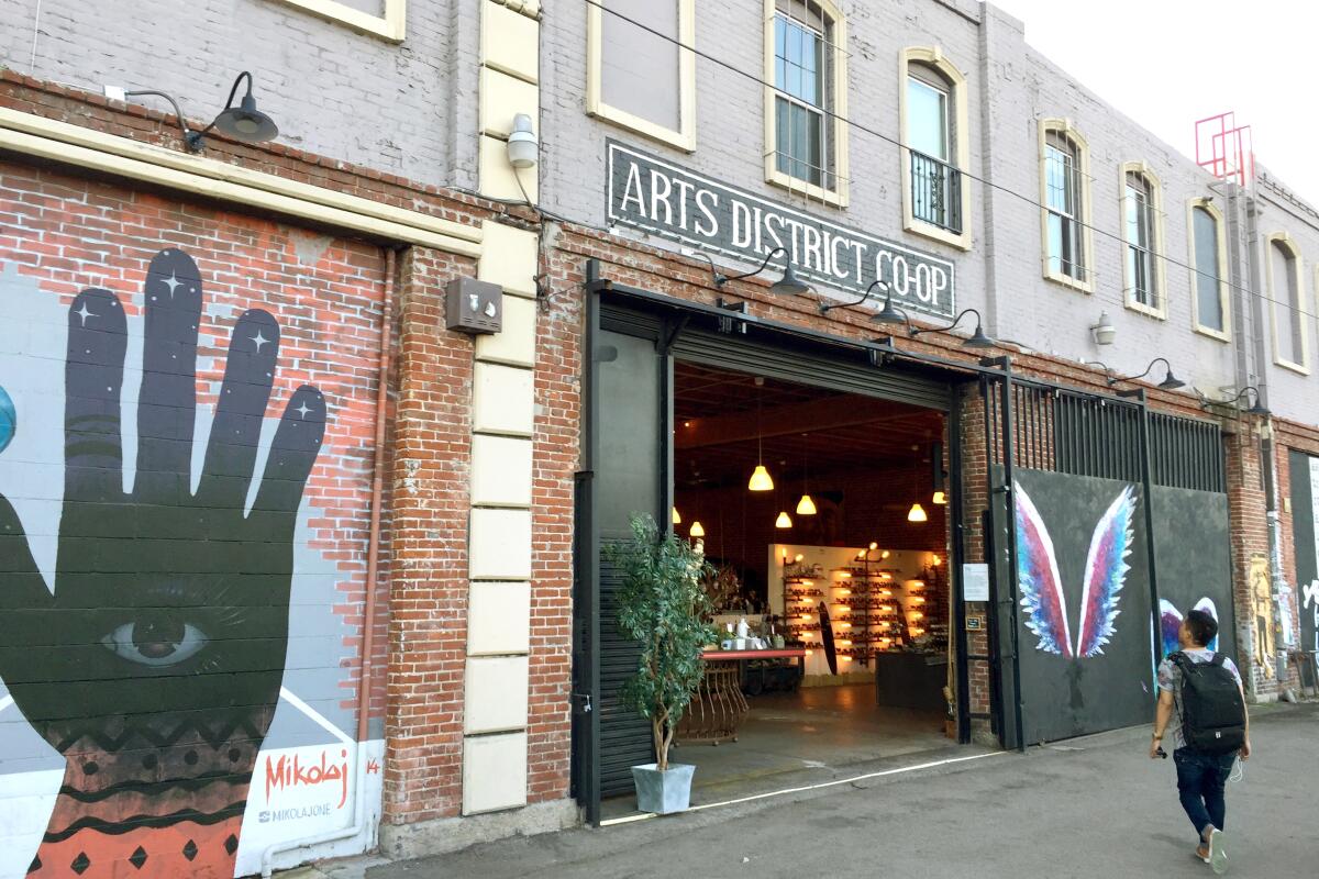
Downtown Ale Trail
Distance from breweries: all are located nearby
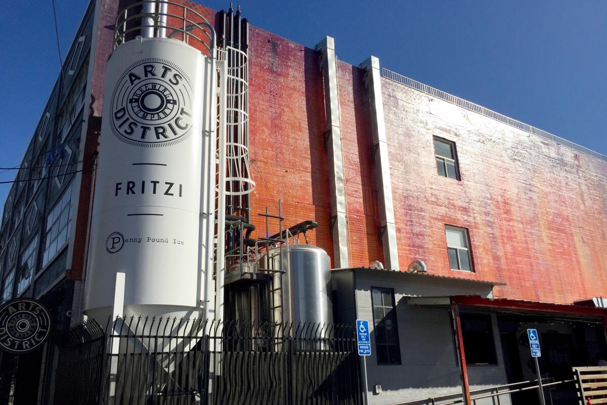
Arts District Brewing Co.
Hours: 3 p.m. to midnight Mondays to Thursdays; 3 p.m. to 2 a.m. Fridays; noon to 2 a.m. Saturdays and noon to midnight Sundays
Want to try the ultimate Los Angeles ale trail? Do it downtown. While L.A. County as a whole has nearly 100 registered breweries, a 5.8-square-mile block enclosed by four freeways has 11, making it perhaps the densest beer-friendly spot in the city. Visit a quality quartet on this 3.75-mile urban drink and dawdle that also takes you to local landmarks, cultural communities and multiple murals.
Start at Boomtown Brewery, the newest alehouse of the bunch but one of the biggest, which has ample parking. The enormous taproom has tons of space to enjoy games (darts and pool and shuffleboard, oh my!) and brews. Then head south to 1st Street, taking it northwest through Little Tokyo, home to many boutique shops, famously delicious eateries (such as Daikokuya for ramen and Fugetsu-Do for mochi), a museum and a charming plaza.
Continue to L.A.’s City Hall (with an awesome observation deck, open Mondays to Fridays) and up through Grand Park, a 12-acre park with drought-tolerant gardens, an interpretive tree walk, and a court of flags (plus great views of City Hall). Head left on Grand Avenue and pass the Walt Disney Concert Hall and the Broad to California Plaza, where you’ll find the historic Angels Flight Railway that lets you off at bustling Grand Central Market. Golden Road has a space here to enjoy some craft beer with a snack.
Then continue past the Bradbury Building and east on 3rd Street to find Mumford Brewing, the first of three upcoming brewery stops (just south of 3rd Street off Omar Street), a friendly family-owned spot known for juicy IPAs. Get back onto 3rd and into Little Tokyo to find one of L.A.’s best-known craft giants, Angel City Brewery, housed in a massive renovated warehouse. The beers are as unique as the space, which has games and tons of local art (and often live music).
East from Angel City on Traction Avenue you will find your last stop, Arts District Brewing Co., which is indeed surrounded by many murals, such as a beautiful elephant, a portrait of the artist Ai Weiwei and the mural-de-force, “Bloom.” Arts District Brewing is also an expansive space, often with 20-plus house-made offerings on tap. Grab a pint and play some Skeeball to end your brew-tiful day.
Elysian Park and Angeleno Wine Co.
Elysian Park West Loop Trail
Distance from winery: 2.75 miles
Angeleno Wine Co.
Hours: noon to 8 p.m. Saturdays; noon to 6 p.m. Sundays
Big views, beautiful trees, city history? How about city views, big trees and beautiful history? No matter which way you say it, Elysian Park, L.A.’s oldest green space, has it all.
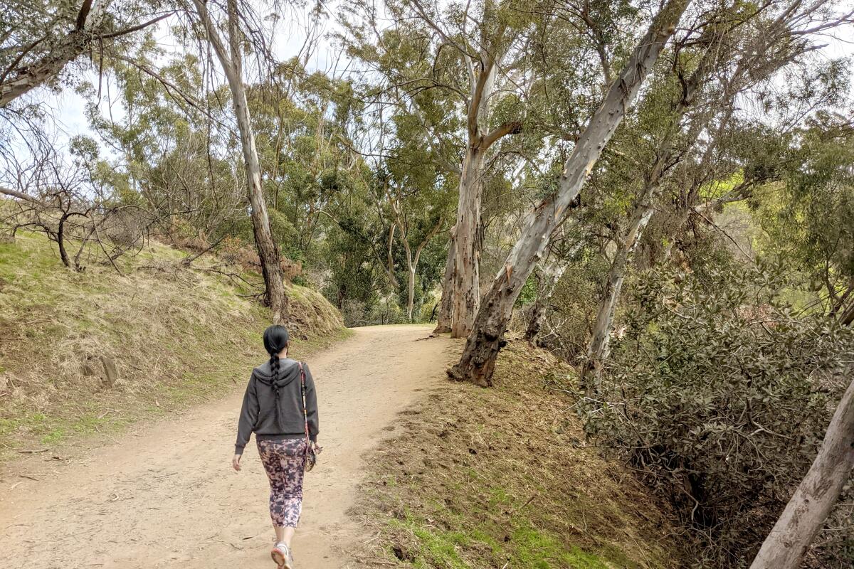
Explore the city’s third-largest park along the West Loop (with options to extend). Find the trailhead on a large, palm-dotted lawn at the northwest corner of Elysian Park Drive and Stadium Way. It begins in a dense eucalyptus grove. In fact, most of the park’s original 150,000 trees planted in 1886 are trees native to Australia. The trail soon leaves the forest and meanders along the canyon wall, providing panoramic city views over the L.A. River, the 5 Freeway and beyond. As the trail makes a U-turn, you ascend nearly 200 feet, providing a great mid-hike workout and a secret reward: the Marion Harlow Memorial Grove. Continue southwest before making a hairpin turn and connecting with the Chavez Ravine Arboretum grounds. The area still contains some labeled specimens (like the pink coral tree) to enjoy before you head back to the trailhead. To double your distance, cross Stadium Way to find the 2.8-mile Portola Loop, which features more downtown vistas, especially at Angels Point, which overlooks Dodger Stadium.
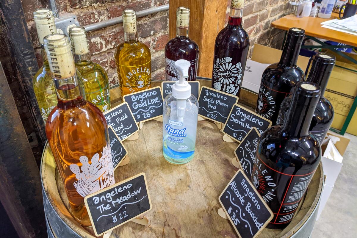
For a glass (or two) of wine afterward, go to Angeleno Wine Co. at the southeast corner of the park and enjoy offerings with a focus on Spanish varietals.
Griffith Park and Paperback Brewing Co.
Griffith Park
Distance from brewery: 3.7 miles
Paperback Brewing Co.
Hours: 4 to 10 p.m. Tuesdays to Thursdays; 4 to 11 p.m. Fridays; noon to 11 p.m. Saturdays; noon to 10 p.m. Sundays
We love L.A., from the South Bay to the Valley, from the Westside to the Eastside. While Randy Newman covers a lot of iconic Angeleno stomping grounds in his ode to the city, he forgets to mention Griffith Park (in his defense, it’s a hard rhyme; we forgive you, Randy).
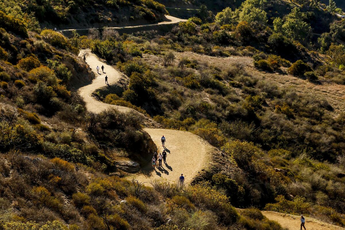
Explore the county’s largest and most famous park on a 5.25-mile lollipop loop that balances landmark locales and hidden havens. Start at the Fern Dell Nature Museum trailhead, near a stream surrounded by sycamores, coastal redwoods and exotic ferns. Take the East Observatory trail on the ascent (save the West for descent). Find the Charlie Turner trailhead and Berlin Forest before heading right at a junction to go to Dante’s View, a vista-heavy garden planted by volunteers in the 1960s. Continue to Mt. Hollywood (1,625 feet). On the descent, loop down the alternate path to Captain’s Roost (another garden spot) and the best views of the Hollywood sign to the west.
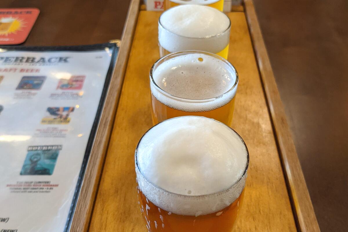
For a beer, head to nearby craft giant Golden Road Brewing for some grub and brews at their massive space. For a lesser-known option, head to Paperback Brewing Co., a new joint located in a World War II-era aircraft hangar, for a tasting flight. Better yet, go to both.
North Etiwanda Preserve and Joseph Filippi Winery & Vineyards
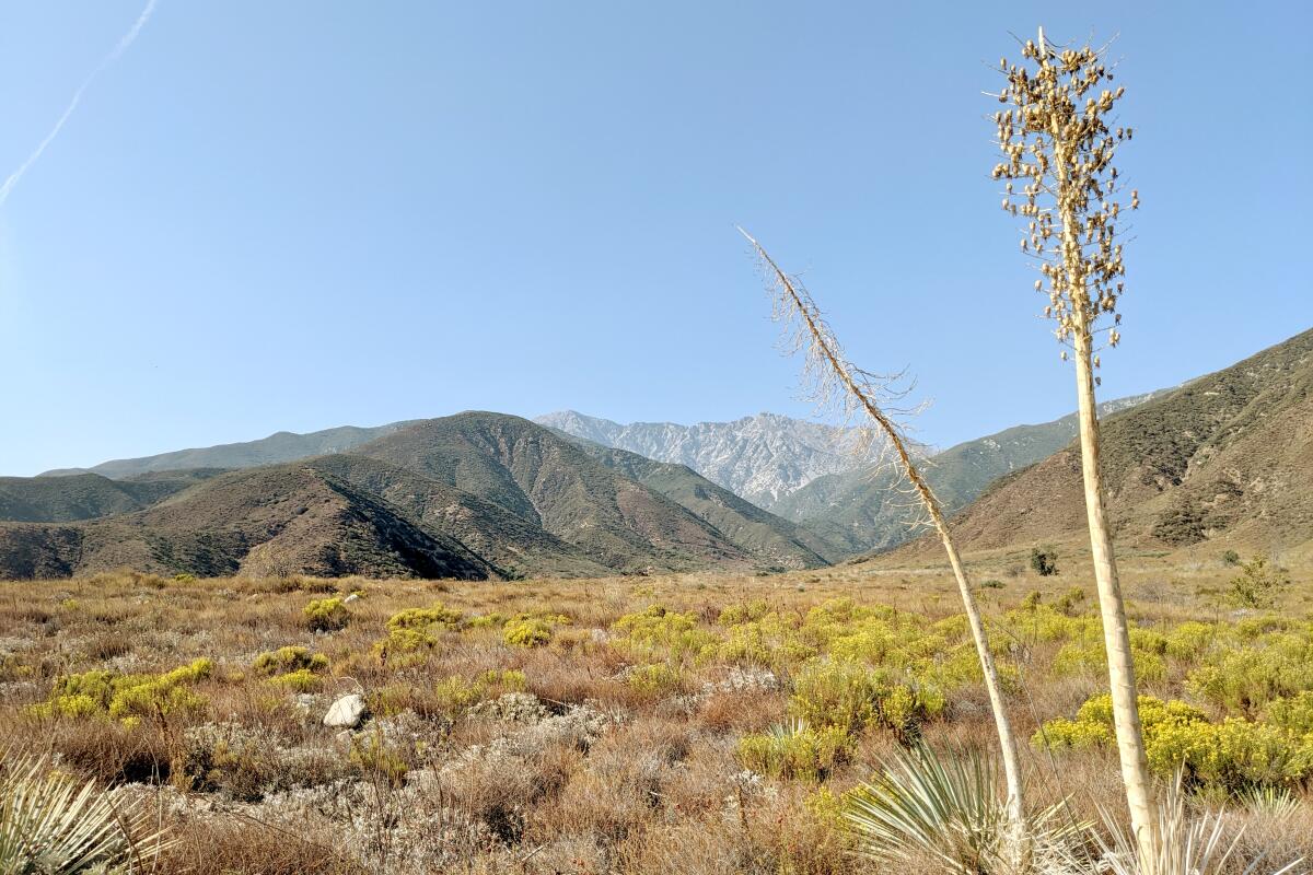
North Etiwanda Preserve
Distance from winery: 3.5 miles
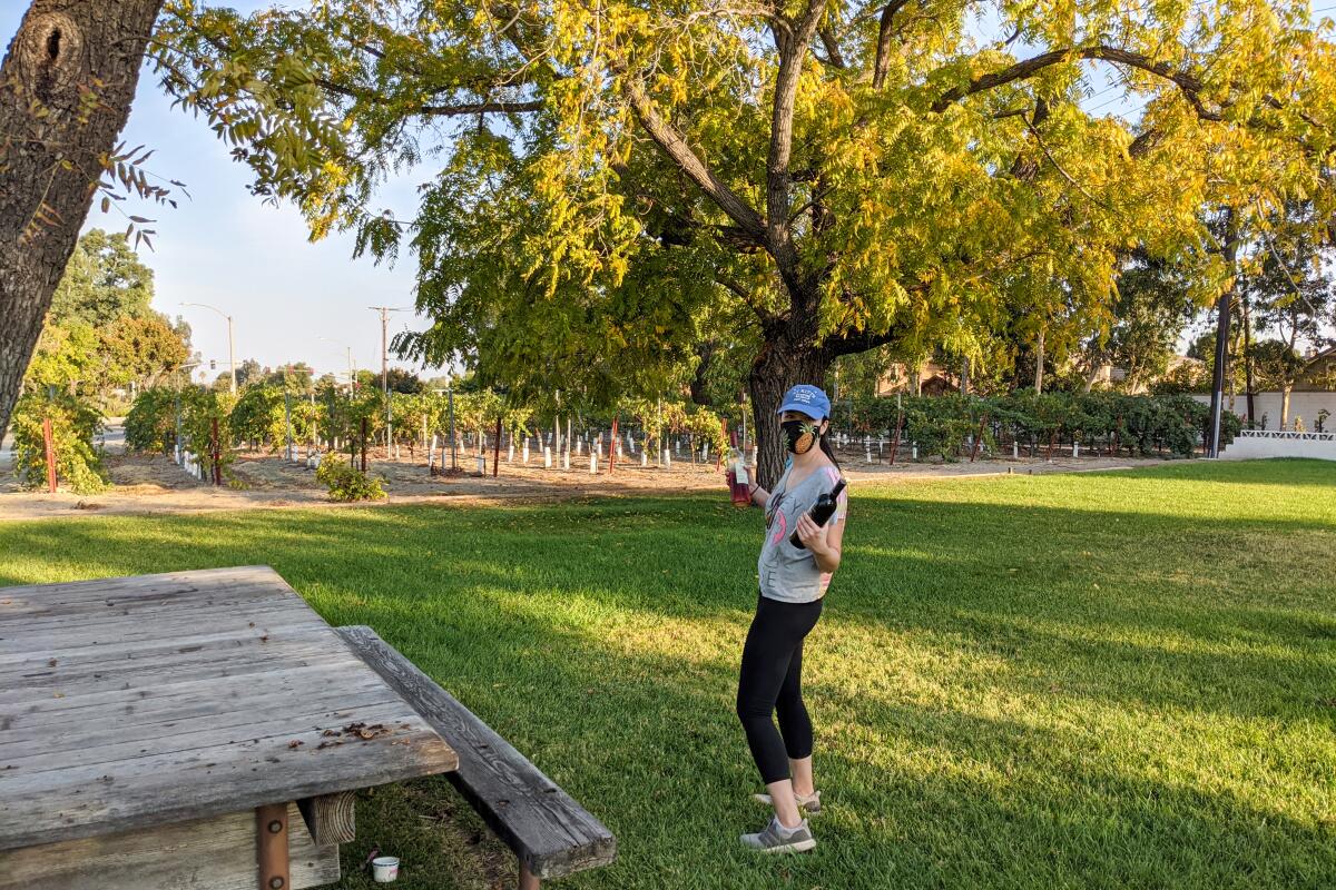
Joseph Filippi Winery & Vineyards
Hours: noon to 6 p.m. Sundays, Tuesdays, Thursdays; noon to 7 p.m. Fridays and Saturdays
Take a natural, historical and cultural tour through the picturesque San Bernardino suburb at the foothills of the San Gabriels on a 3.25-mile hike through serene North Etiwanda Preserve.
At the park’s trailhead (north end of the lot), take a picture of the map to note the many interpretive sites. Then visit the upcoming kiosk overlooking the valley, which provides more signs that detail the preserve. Follow the loop to pass remnants of a water delivery system. At the three-way junction, head right to check out a Native American interpretive site before going left to the waterfalls in San Bernardino National Forest. More sites await, including a dam and antique pumping station, before you reach a panoramic viewing and picnic area under towering pines. Check out the expansive valley, with signs pointing out notable landmarks. You can see Mt. Baldy, at 10,050 feet in elevation, the tallest summit in L.A. County. On the descent, look for a cool boardwalk vista spot.
For an accompanying drink with a bit of history, head to Joseph Filippi Winery, established in 1922, a remnant of the Cucamonga Valley vineyards that dominated the area more than a hundred years ago. Sip a local red or white, from grapes grown at various places around the valley, including on-site.
Eagle Rock Canyon and Eagle Rock Brewery
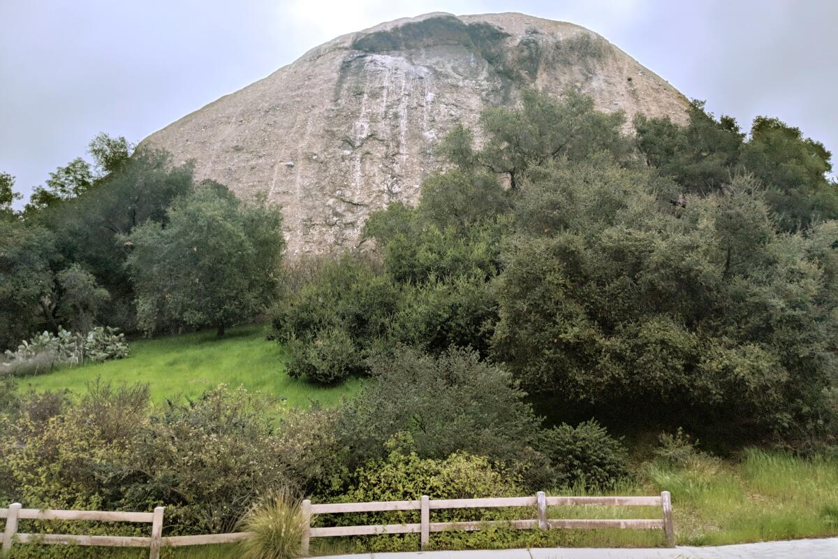
Eagle Rock Canyon
Distance from brewery: 4.8 miles
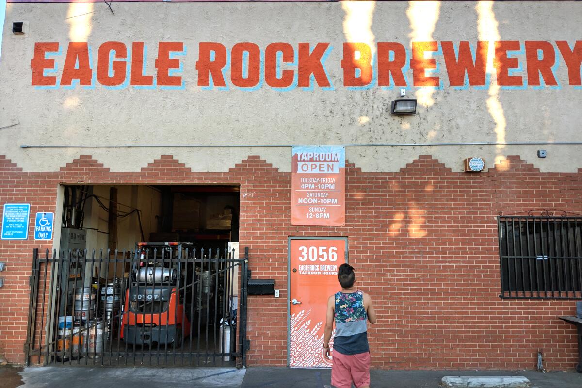
Eagle Rock Brewery
Hours: 3 to 9 p.m. Wednesdays to Fridays; noon to 9 p.m. Saturdays; noon to 7 p.m. Sundays
Looking for a quick post-work, pre-drinks workout? Head to Eagle Rock Canyon for a 1-mile loop that visits the neighborhood’s dome-shaped landmark named for the ridge that resembles the winged predator.
The perch near the top offers soaring views of the downtown L.A. skyline, the rolling hills of Hollywood and Metropolitan Water District open space below. The path is narrow and climbs quickly through chaparral staples, such as sugarbush, scrub oak, sage and the taco-shaped leaves of laurel sumac. Being this close to the Eagle Rock itself is cool, but it’s a tough angle to catch when the shadow makes the eagle indent appear to be in flight.
After descending, head to the namesake brewery of the hipster haven — Eagle Rock Brewery — which opened in 2009. Try its classics or rotating offerings, grab some grub from a visiting food truck and enjoy the good vibes. Other nearby options: Relentless Brewing & Spirits, an Eagle Rock transplant from Temecula that specializes in tangy sours. Rock on!
Los Angeles River Walk and Frogtown Brewery
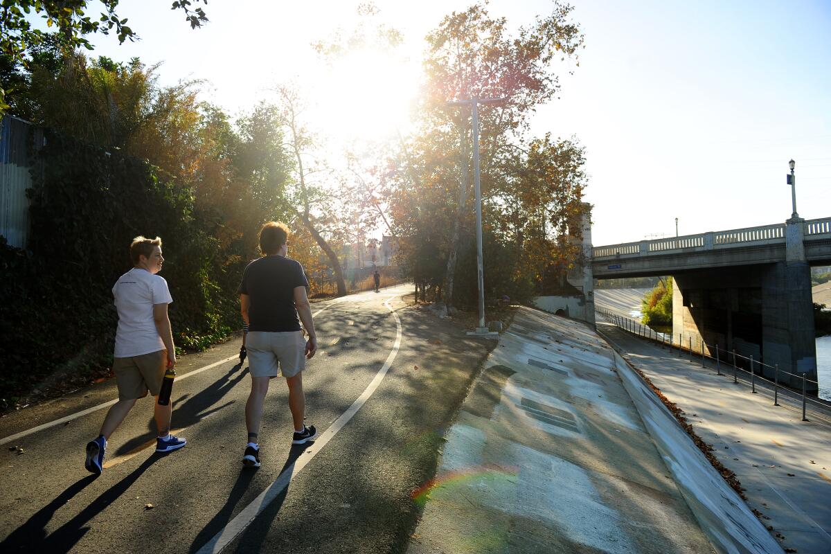
Los Angeles River Walk
Distance from brewery: 0.25 miles (on the trail)
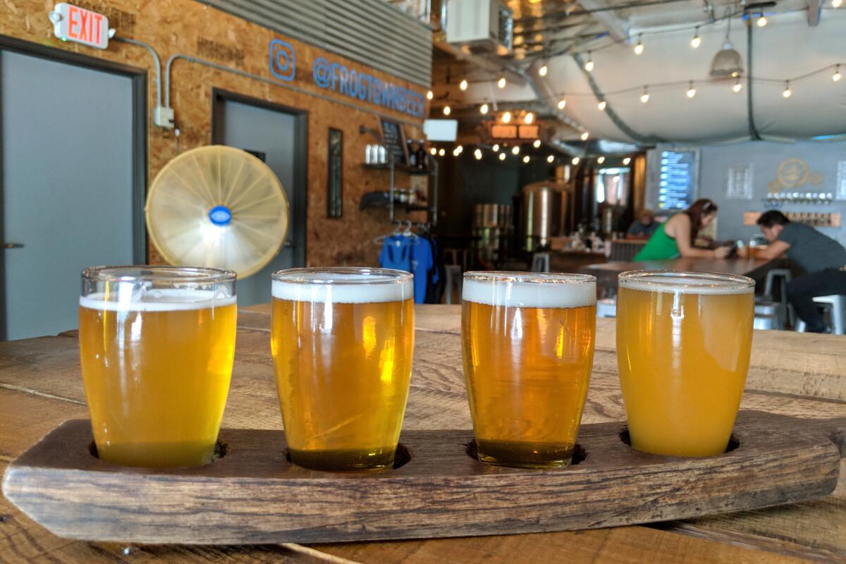
Frogtown Brewery
Hours: 4 to 10 p.m. Mondays to Thursdays; noon to 11 p.m. Fridays and Saturdays; noon to 10 p.m. Sundays
There are many starting and ending points along the 51-mile L.A. River. This hike in the centerpoint in the Elysian Valley offers an easy 2-mile journey through an area (and namesake brewery) called Frogtown.
Park and walk through the Great Heron Gates to Rattlesnake Park, heading east along the riverbank. First signs of Frogtown graffiti are on your left, inspired no doubt by the once-common resident amphibians (that might have actually been toads). As you hike (or bike) along the paved path that follows the shallow waters of the riparian environment, look for cormorants, stilts and local mascot great blue herons among the willows. You’ll pass Frogtown Brewery after just 0.3 miles, but save it for the return trip. Instead, head under State Route 2 and take a detour at Marsh Park, a grassy recreation area with workout machines and frog statues. Continue along the L.A. River Greenway Trail past Spoke Bicycle Cafe and turn around at Elysian Valley Gateway Park next to local coffee roastery La Colombe.
Back at Frogtown Brewery, enjoy the riverside space that showcases local artwork and features interesting (Pain Killer, a tiki-inspired IPA) and classic ales.
Los Angeles State Historic Park and Highland Park Brewery
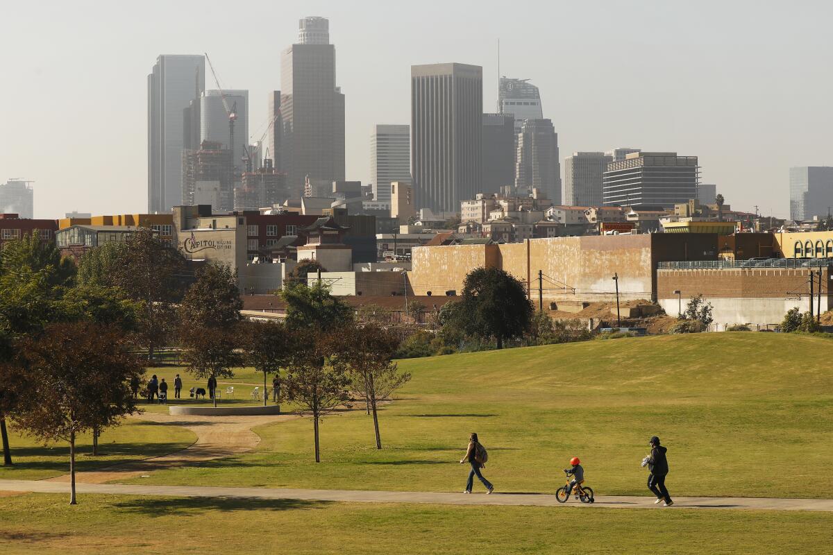
Los Angeles State Historic Park
Distance from brewery: .1 mile
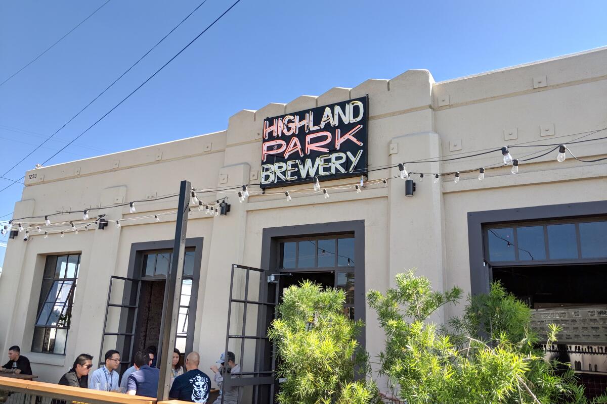
Highland Park Brewery
Hours: noon to 10 p.m. Sundays to Wednesdays; noon to midnight Thursdays through Saturdays
You don’t always find a brew pub next to a large public park. When you get that lucky, go. The green space? Los Angeles State Historic Park near Chinatown and the Metro L (Gold) Line. The brew? Highland Park Brewery.
Begin your 1.3-mile park loop at the ranger building, then head right (northeast) along the path that borders a vast lawn that’s perfect for a playtime park day (bring your best recess games and a picnic). You’ll have views of the skyline, great at sunrise or sunset. Continue across a bridge past native plants and a sculpture as you walk toward the viaduct. Follow the path as it curves, looking to the west to see the Radio Hill Gardens and the lights of Dodger Stadium. Keep walking (or jogging) southwest around the circumference, eventually arriving at a modern bridge. You’ll see interpretive signs about the history of the park, including the concrete circle that represents the Southern Pacific railroad, which once had a depot here. The space just opened to the public in 2017 under the state park jurisdiction, hence the name. Walk on the bridge for views of the park framed by the urban jungle. Head toward the Chinatown L Line station as you turn a corner and complete the final stretch to your starting point. Don’t miss the citrus trees in steel barrels that carry uplifting messages in multiple languages.
Enjoy the smell and the scene one last time before walking to the Highland Park Brewery’s Chinatown location, which opened in 2018. Enjoy a huge selection, including its house beer, Refresh, perfect for after a hot day at the park. The brewery has a dog-friendly patio and bar eats.
El Modena Open Space + Old Towne Orange and Chapman Crafted Beer
El Modena Open Space
Distance from brewery: 4.8 miles
Chapman Crafted Beer
Hours: noon to 8 p.m. Sundays and Mondays; noon to 9 p.m. Tuesdays; noon to 10 p.m. Wednesdays and Thursdays; noon to 11 p.m. Fridays
Manicured beachfront towns. Legendary local theme parks. Upper-crust teen dramas. And beer. As the sixth-most populous county in the U.S., Orange County is no hidden haven. Even without the eponymous citrus it was once known for, it basks in the California limelight.
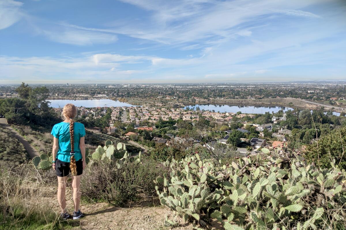
On your next visit, head to El Modena Open Space and begin a 4.5-mile urban adventure that starts at the Orange Hills Trail and ends on a charming walk through Old Town Orange. Take the single track trailhead at Cannon Street and Patria Court, climbing 500 feet in just half a mile and immediately rewarding you with views of the Santiago Creek Basin and OC suburbia. Look for downtown L.A., San Gabriel and Santa Ana peaks, and even Catalina Island on a clear day. Look and listen for cactus wrens among the large array of prickly-pear specimens on your descent to Cannon Street to complete the loop. It’s just under five miles to Old Towne Orange (if you go by car, park at the Orange Metrolink station and head east on Chapman Avenue) to find Chapman Crafted Beer. Stroll through the city’s Old Towne district, home to historical buildings (like Watson’s Soda Fountain, one of the oldest of its kind in the area) as well as the pristine Chapman University grounds, an art museum and various eateries.
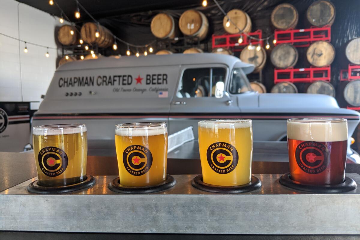
After a day on the town, double back to Chapman Crafted Beer, where you’ll find plenty of space to enjoy a tasting flight (or its own coffee). Sit at an old restored truck bed or enjoy one of many outdoor games as you sip on classic or barrel-aged pilsner or a rotating Zodiac IPA series.
Santiago Oaks Regional Park and Green Cheek Beer Co.
Historic Dam Trail
Distance from brewery: 6.5 miles
Green Cheek Beer Co.
Hours: 5 to 10 p.m. Mondays to Wednesdays; 5 to 11 a.m. Thursdays and Fridays; 11 a.m. to 11 p.m. Saturdays; 11 a.m. to 10 p.m. Sundays
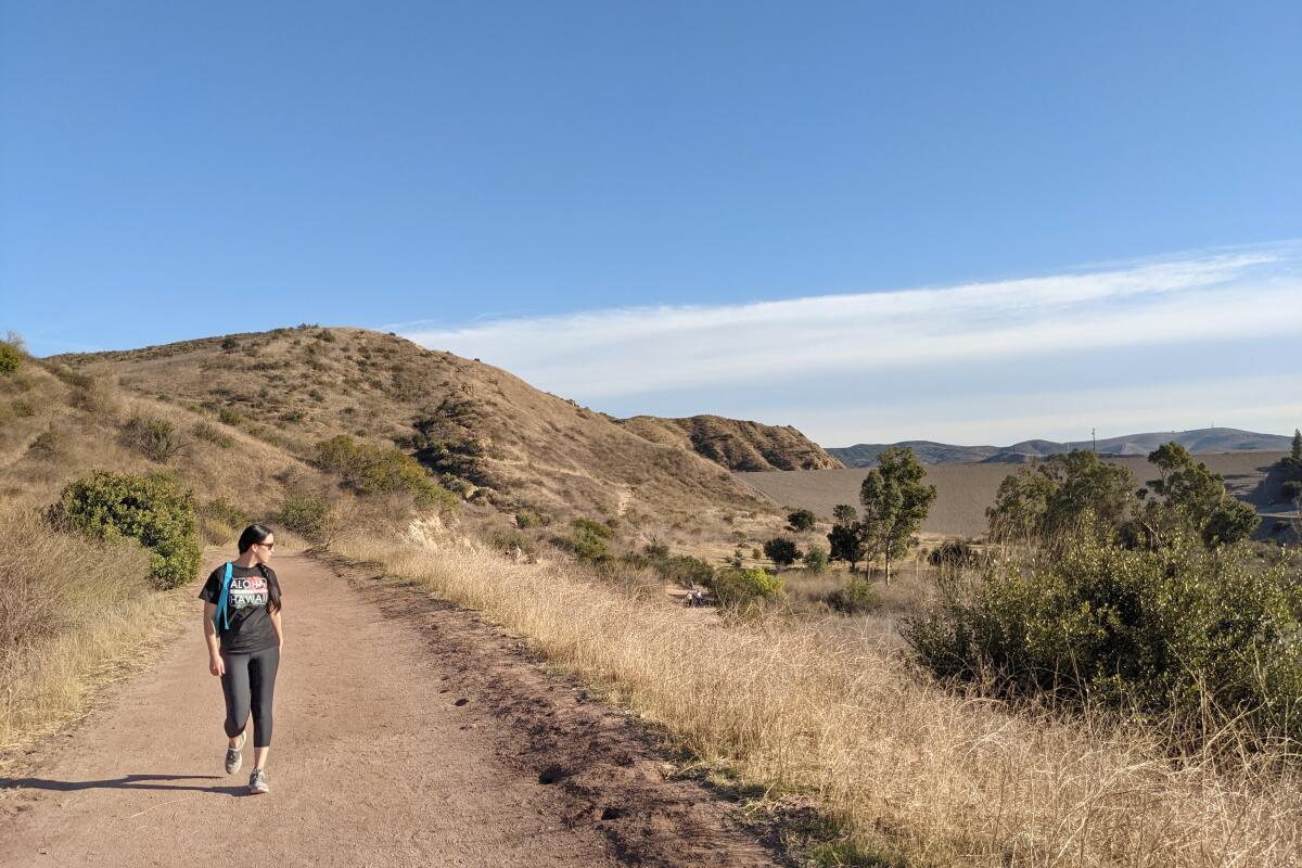
Check out local watering holes — dams and a brewery — by starting at a 3.5-mile loop through Santiago Oaks Regional Park and ending at Green Cheek Beer Co., perched along the Santa Ana River. The 1,269-acre park features expansive views, local history and two significant dams. (If you want to extend your journey, grab a map and explore the well-marked trail system that runs through the riparian and chaparral environments).
Start at the nature center and pass the older dam, which has original stonework from 1892, by following the trail alongside serene Santiago Creek and then head toward Villa Park Dam, built in 1963, a massive structure used for flood control. Take a brief detour at the challenging and aptly named Mountain Goat loop for a steep workout and then continue on the rolling hills of the Bobcat Meadow and Sage Ridge trails for more views and perhaps a visit from a grazing mule deer. A charming wooden staircase completes the loop, and now it’s time for that drink.
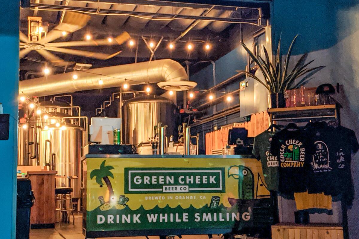
Green Cheek Beer Co. welcomes guests with a friendly parrot logo and one of our favorite mottos: “Drink while smiling.” It’s known for soaring juicy hop heavyweights, but everything is a worthwhile treat to wet your beak, from fruity to pale to hard seltzer options. Hike. Drink. Smile. Repeat.
Upper Newport Bay Preserve and Salty Bear Brewing Co.
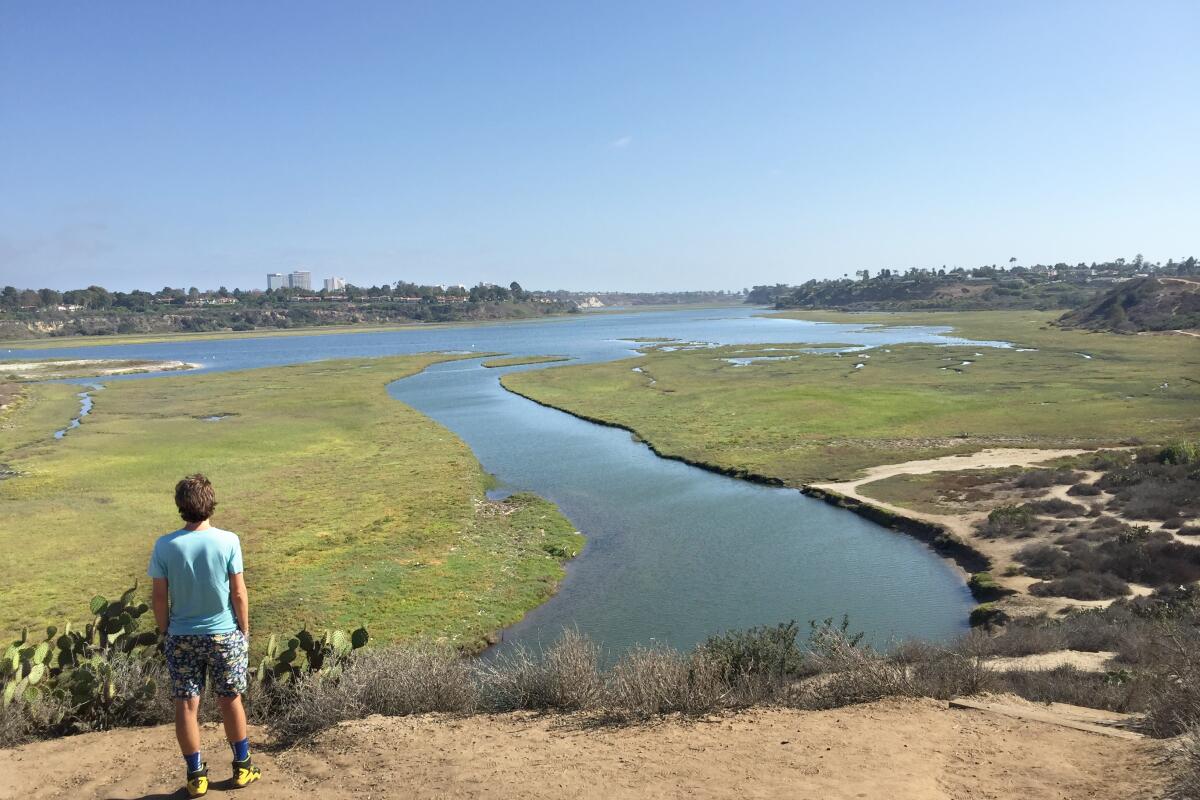
Bayview Trail
Distance from breweries: 2.5 miles
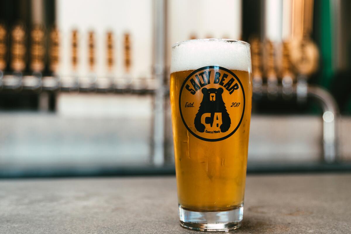
Salty Bear Brewing Co.
Hours: 3 to 9 p.m. Mondays to Wednesdays; 1 to 10 p.m. Thursdays; noon to 11 p.m. Fridays; noon to 10 p.m. Saturdays; noon to 8 p.m. Sundays
Newport Beach is where you’ll find some of the biggest homes and boats in O.C. — and the largest estuary in the area. The Upper Newport Bay Nature Preserve, a coastal wetland formed from the intersection of San Diego Creek freshwater and the Pacific, is best explored on an eight-mile out-and-back hike that deposits you at the ocean.
Start at the Peter & Mary Muth Interpretive Center, which boasts a rooftop observation deck for views of the bay. Bring your binoculars to search the skies for the more than 200 species that call the estuary home. During winter migration, 35,000 birds can be found here on a given day, including great blue herons, peregrine falcons and the endangered California least tern. Take a spur trail to the lagoon shores and look for stingrays and saltmarsh bird’s beak, an endangered indigenous herb. After the trail reaches the park boundary, you can hit paved streets (Irvine Avenue to Dover Drive to PCH) — passing Castaways Park for more sweeping marine views — to reach the coast.
The real luxury lies on Randolph Street, Costa Mesa’s beer trail, where a hip outdoor mall, the Camp, houses multiple ale-licious options.
Nestled in the middle of three freeways in what I’m calling the “Beermuda Triangle,” you’ll find Salty Bear Brewing, which has a standout stout and refreshing light options and Gunwhale Ales, a boat-themed brewery in which you may find yourself “loaded to the gunwhales” with its old-world. famous ale series. If you want to try other breweries, drop anchor and find Green Cheek within steps and Bootlegger’s Brewery in sister mall the LAB across Bristol. Sail away!
Yorba Linda Lakebed Park and Honey Pot Meadery
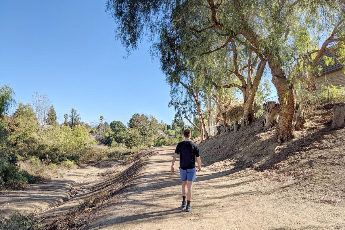
Yorba Linda Lakebed Park
Distance from meadery: 2.2 miles

Honey Pot Meadery
Hours: to 10 p.m. Fridays; noon to 10 p.m. Saturdays; noon to 6 p.m. Sundays
Head to Yorba Linda in northern Orange County for this 2.75-mile loop around the secret Yorba Linda Lakebed Park. Few people know about this park with an inconspicuous trailhead off Buena Vista Avenue.
You’ll see many resident art projects scattered throughout the trail, such as the painted rocks with positive messages. This adds to the charm of the hike, which meanders under willows and oaks along a now dry lakebed. There are also multiple spur trails to explore the riparian environment at will. At the southern end of the park, the trail follows a ridge and ascends to the high point of the 90-acre park that once hosted a reservoir. Check out wide-angle views of suburbia and a surprising sample of oil derrick pumps, and search the skies for red-tailed hawks.
After the hidden hike, make a beeline for Honey Pot Meadery, which serves mead (dry, sweet, fruited, spiced and so on) as well as house-made fruit wines, seltzers and ciders. We liked Shuriken, aged in bourbon barrels, or the Mead-a-rita, an orange blossom mead featuring agave and lime. Prefer a beer? Go next door to veteran-owned All-American Brew Works, where we recommend Storm the Beach (Red Ale with Coconut) and Liberty or Death (Peanut Butter Porter).
Arroyo Seco Trail and Cervecería del Pueblo
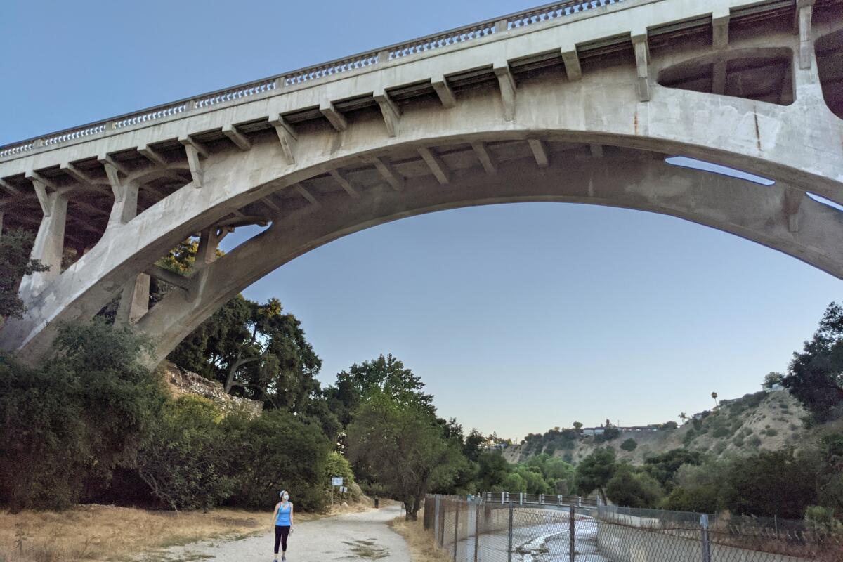
Arroyo Seco Trail
Distance from brewery: 1.7 miles.

Cervecería del Pueblo
Hours: 4 to 10 p.m. Wednesdays to Fridays; 1 to 10 p.m. Saturdays; 1 to 7 p.m. Sundays
Got a sec? Go to the Seco. Pasadena is home to a slew of historical landmarks and offers easy access to the hulking San Gabriel Mountains. But this urban hike takes you to the area’s architectural accents.
Enter the Arroyo Seco Trail, a multiuse path that follows portions of the namesake 25-mile seasonal river, to follow a highly accessible hiking route between the 110 and 134 freeways. Park at the San Pascual Stables in South Pasadena, check the map at the trailhead and head north, ignoring footbridges and staying to the right. Chaparral shrubs dot the path, and shade breaks can be found under sycamores and oaks throughout the canyon (climb spur-trail stairs to get a good vista of the ravine). You’ll pass under the neoclassical-inspired 1914 La Loma Bridge and past the Pasadena Casting Club’s fishing pool. Turn around at the legendary Colorado Street Bridge, an iconic structure built in 1912 and listed on the National Register of Historic Places (for pedestrian access to the bridge, park at Grand Avenue and Green Street). On your hike back, take the western path to check out the Pasadena Roving Archers range and a rock labyrinth.
For ales as unique as the trail, visit Cervecería del Pueblo, whose brewer-owners incorporate native Colombian flavors (such as lulo fruit) into its constantly rotating draft list and infusions with local products (including from Jones Coffee Roasters).
California Botanic Garden and Claremont Craft Ales
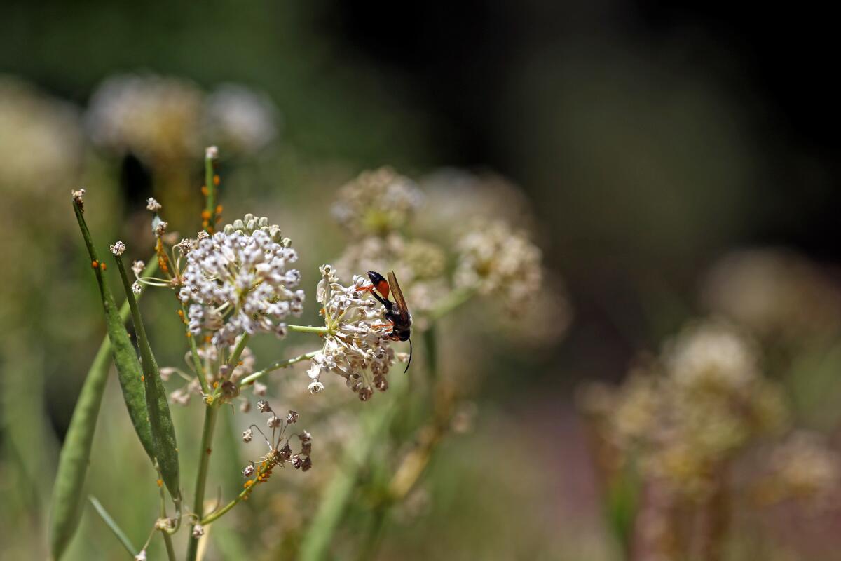
California Botanic Garden
Distance from brewery: 1.2 miles
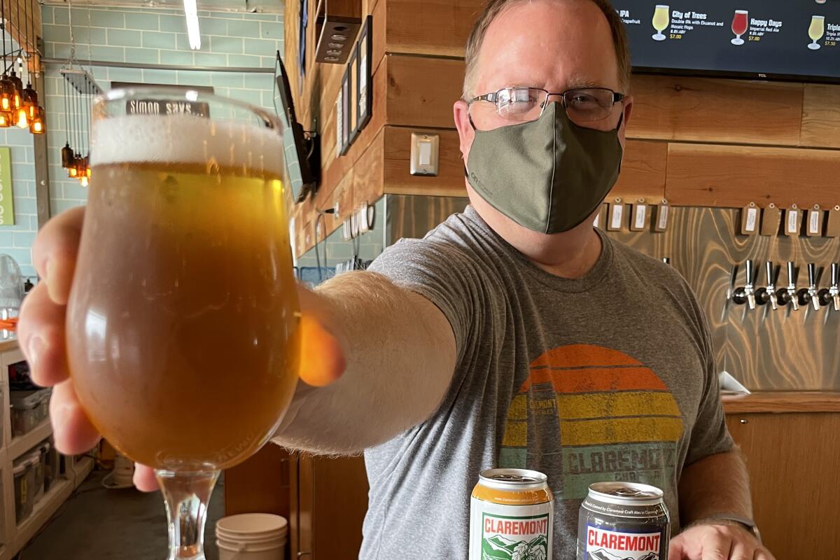
Claremont Craft Ales
Hours: 3 to 9 p.m. Tuesdays through Thursdays; 3 to 10 p.m. Fridays; 1 to 10 p.m. Saturdays; 1 to 8 p.m. Sundays.
“There is science, logic, reason; there is thought verified by experience. And then there is California.” Whether positive or negative, author and environmental activist Edward Abbey knew California was special. And so do we.
Enter a golden state of mind at the California Botanic Garden (formerly known as the Rancho Santa Ana Botanic Garden) in Claremont to take a two-mile loop to explore the 86-acre garden filled with California originals just north of the Claremont Colleges. Grab a map at the entrance to find your way among 22,000 specimens (and more than 2,000 species) in meadows as well as Tongva huts and a palm oasis. All of the state’s major ecosystems are represented here: chaparral, desert, pine forests, to name a few), making for a truly satisfying experience we think Abbey would’ve enjoyed too. Iconic Joshua trees and legendary Torrey pines in one hike? California, here we come. If you yearn for more, add on a hike in Claremont Hills Wilderness Park at the base of the San Gabriels, which offers a good workout and phenomenal views.
For a local beer garden, head to nearby Claremont Craft Ales, an award-winning cozy spot that has brews with flowery names, such as their flagship Jacaranda. Another option: Head a mile east to neighboring Upland to try a flight from Last Name Brewing; don’t miss its amber lager, Pomona Queen.
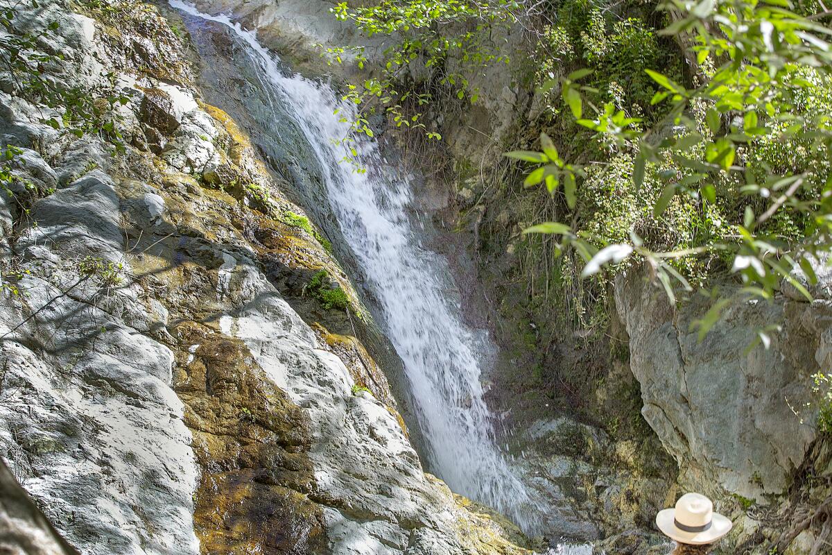
Monrovia Canyon and Pacific Plate Brewing Co.
Monrovia is known for its idyllic charm, for its extensive experience as a Hollywood backdrop and as home to the headquarters of Trader Joe’s. The perfect small-town escape from the big city is best experienced on a 6.5-mile Fountain to Falls trail that explores the picturesque streets of Old Town and the beautiful forest above.
Start at the library park (look for a massive Moreton Bay fig tree and a Mark Twain statue) and follow the signs for the part-urban, part-nature trail. The path begins on suburban roads past Victorian and Arts and Crafts homes (and maybe the occasional curious mule deer) before reaching the Monrovia Canyon Park entrance and nature center. Enjoy an interpretive display, a statue of the town’s unofficial black bear mascot (Samson, who once roamed the streets), and awe-inspiring vistas of Monrovia and the valley beyond. Find the trail behind the nature center under glorious Jeffrey pines and coast live oaks to continue 1.5 miles to the tranquil waterfalls.
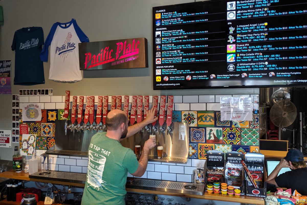
After backtracking to Old Town, visit one of four breweries, all within walking distance. We love the hop-forward creativity and library-adjacent tap room of Hop Secret, the funky art and dark beers at Wingwalker, the friendly atmosphere and refreshing ales at Over Town Brewing Co., and the delicious offerings at Pacific Plate (Tom Yum beer, anyone?). Try all to get a truly comprehensive taste of Monrovia.
Mt. Lowe and Mt. Lowe Brewing Co.
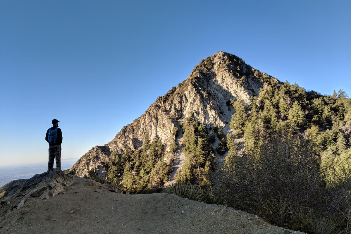
Mt. Lowe
Distance from brewery: 29 miles
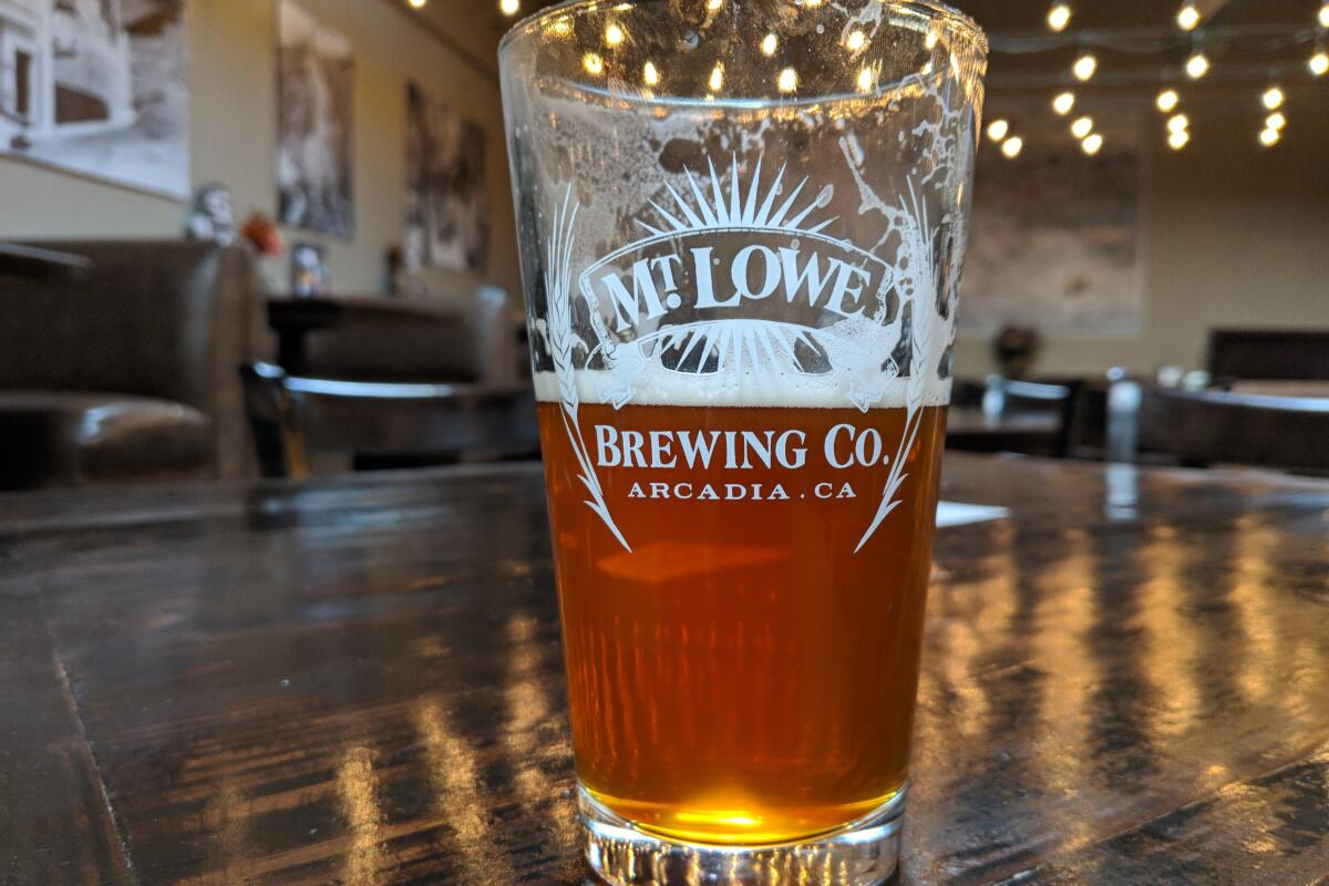
Mt. Lowe Brewing Co.
Hours: 4 to 9 p.m. Tuesdays to Thursdays; 4 to 10 p.m. Fridays; noon to 10 p.m. Saturdays; noon to 8 p.m. Sundays.
What’s in a name? A peak and a brewery in and near the San Gabriel Mountains share the name Mt. Lowe. Hike to the peak’s 5,606-foot summit by the less-traveled but highly challenging 5.5-mile trek from Eaton Saddle and reward yourself with a post-trail ale at Mt. Lowe Brewing Co.
Park on either side of Mt. Wilson/Red Box Road off the Angeles Crest Highway and find the trailhead with an accompanying sign about professor Thaddeus Lowe, who built the legendary railway along the mountain and an early 20th-century resort at nearby Echo Mountain. Enjoy views of the sprawling San Gabriel Valley and head through the echo-worthy Mueller Tunnel, built in 1942. When you reach a water tower, stay right to head down the Mt. Lowe Motorway and veer left at your next junction. The Mt. Lowe Trail Camp, home to five walk-in campsites at 4,500 feet, is a great spot for a picnic under the oaks before your ascent. Continue on to hike more than 1,000 feet uphill in the next mile to reach Mt. Lowe’s summit, home to an old hitching post and viewing tubes pointed at local peaks. Vistas reveal the downtown L.A. skyline and Catalina Island, on a clear day. Complete the loop back to the water tower and trailhead.
Then head to Mt. Lowe Brewing Co., which displays old maps and photographs of the mountain and features railway spikes as tap handles. You’re here for the beer, though. Try the locally themed ales, such as the Lowe Down IPA or get a five-taster flight presented on a beautiful (and fitting) log plate.
Mt. Wilson and RT Rogers Brewing Co.
Mt. Wilson
Start at the Mt. Wilson Trail Park in Sierra Madre, next to Lizzie’s Trail Inn, a museum that details the history of the 1864 trail. Directions to trailhead.
RT Rogers Brewing Co.
Hours: 3 to 10 p.m. Wednesdays to Fridays; noon to 10 p.m. Saturdays; noon to 7 p.m. Sundays
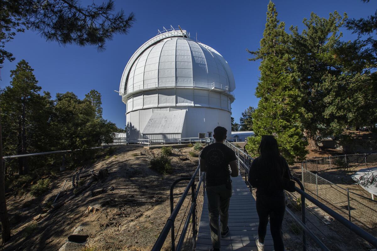
If there’s one challenging trek all Angeleno hikers should brave, it’s the 14.5-mile round-trip grind to the 5,710-foot summit of Mt. Wilson. You’ll be rewarded with some of the most awe-inspiring views in L.A. County.
Start at the Mt. Wilson Trail Park in Sierra Madre, next to Lizzie’s Trail Inn, a museum that details the history of the 1864 trail. Soon you come to ruins of Orchard Camp, a popular retreat in the early 20th century and a great resting spot. Hike up a steep stretch to Manzanita Ridge, which has a resting bench, and then the final two miles to the top. Trees change throughout the hike from alder and oak to fir and pine. When you reach the wide dirt Mt. Wilson Toll Road, take a small trail to your right that takes you to the summit and Mt. Wilson Observatory, home to the 100-inch Hooker Telescope, which was once the largest in the world. Retrace your steps down.
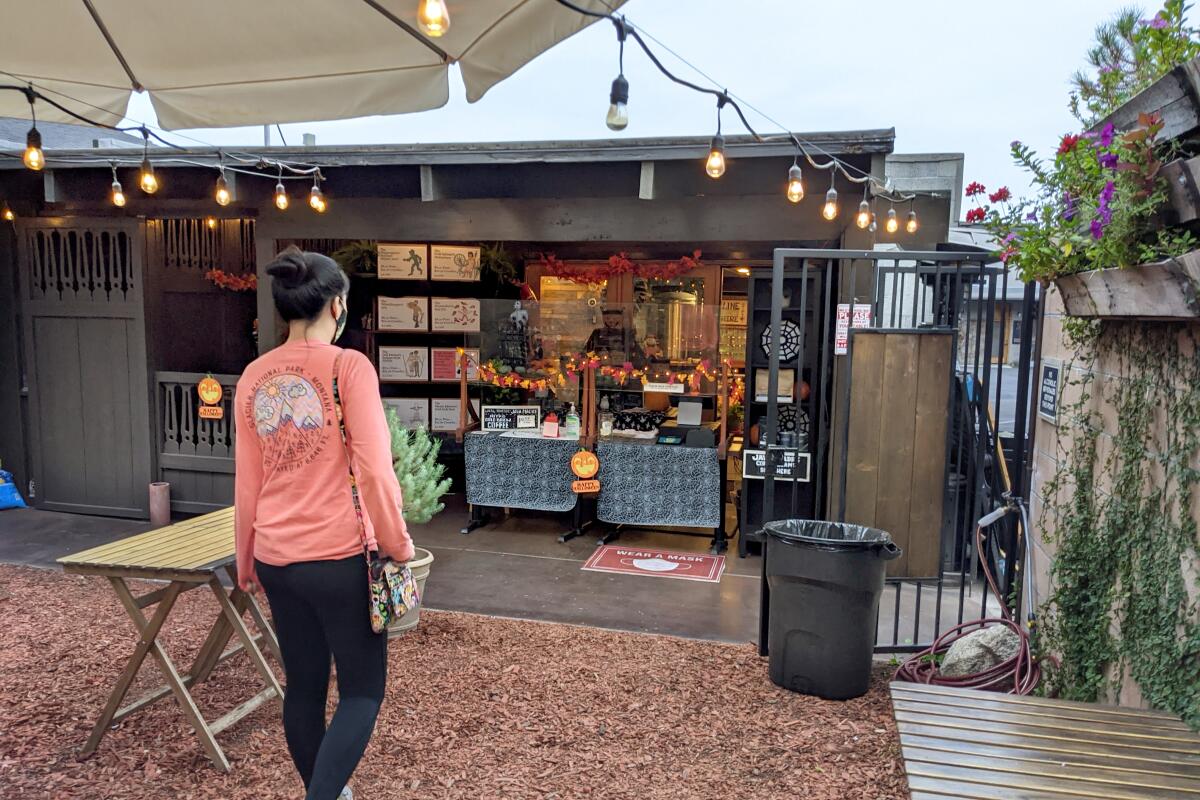
For a refreshing post-hike beer, head to RT Rogers Brewing Co. down the street. Enjoy the picturesque outdoor seating and beers with names like Gold Spinner’s Hefeweizen, or the seasonal brew Mystic Merrow (Irish red). Cheers to the challenge!
San Dimas Canyon and Highpoint Brewing Co.
San Dimas Canyon Loop
Distance from brewery: 3.2 miles
Highpoint Brewing Co.
Hours: 2 to 8 p.m. Mondays to Wednesdays; 4 to 10 p.m. Thursdays and Fridays; noon to 10 p.m. Saturdays; noon to 8 p.m. Sundays
Looking for a most excellent adventure? Head to San Dimas, famous in pop culture for housing Bill and Ted (from the 1989 sci-fi comedy film “Bill and Ted’s Excellent Adventure”), for a totally rad 2.5-mile trek, awesome views and a righteous reward post-hike.
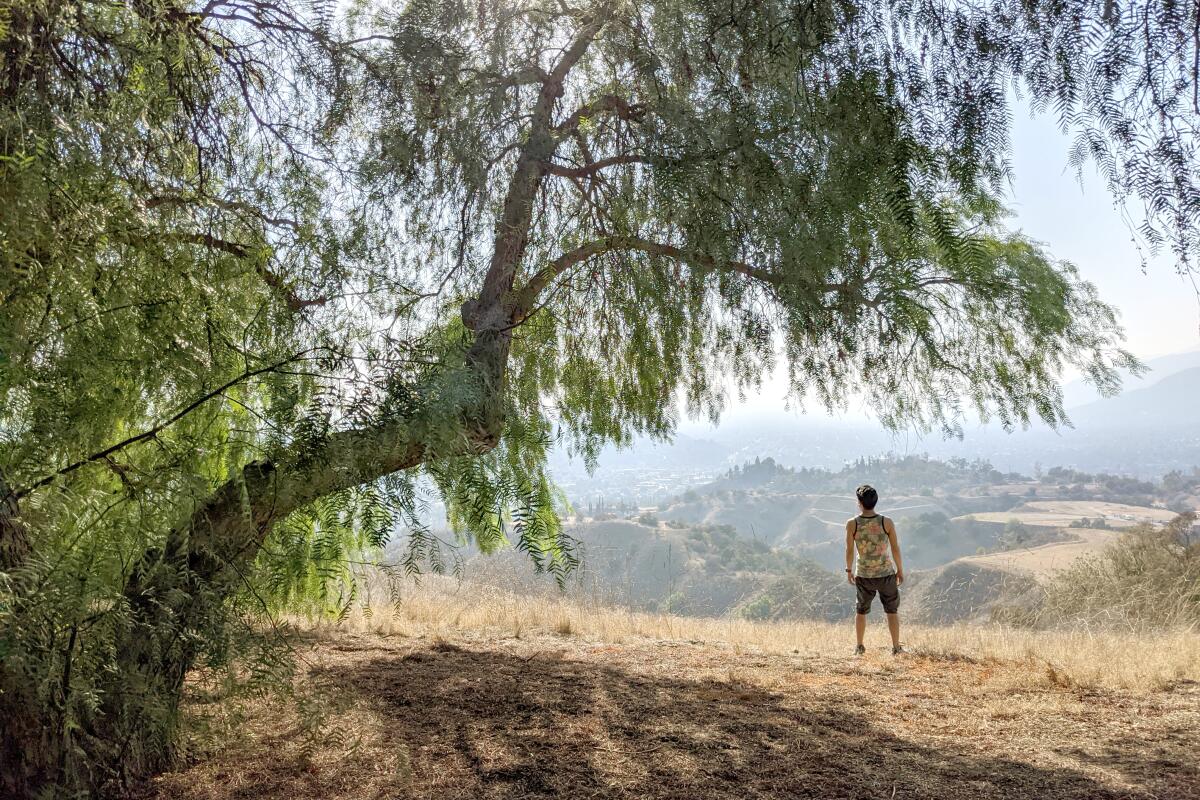
Park at Horsethief Canyon Park and find the trailhead next to a gazebo at the north end of the lot. At the horse track, turn left to flank the dog park, passing under willows, palms and pines and eventually looping back to hug the hill ahead. Make a left when you see a steep trail behind a white gate — and head uphill for a killer challenge to the hill’s top. At the top, the panoramic views of San Dimas and the endlessly expanding valley are epic. Enjoy the views from a bench between two pines or a picnic table under a welcoming willow. Look for Mt. Baldy’s prominent peak to the east before taking the north trail down into the canyon, where pines and oaks become prevalent. At the next junction, take a right onto Poison Oak Trail (you won’t see much of the troublesome plant) to pass canyon walls and reach the ruins of an old stone chimney. Here, take a right and follow the trail markers leading you through Sycamore Canyon, past an equestrian center and back to the trailhead. Before leaving, consider visiting neighboring San Dimas Canyon Nature Center and Puddingstone Reservoir at Frank G. Bonelli Park to the south.
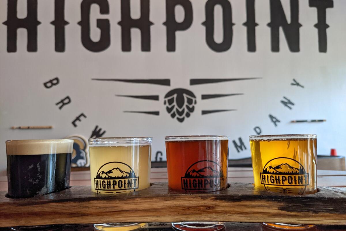
Otherwise, head to the other local watering hole, Highpoint Brewing. Try its beer deal of the day or get a tasting flight and, if you’re lucky, there’ll be trivia or bingo going.
Santa Fe Dam Recreational Area and Nova Brewing Co.
Santa Fe Dam Recreational Area
Distance from brewery: 3 miles
Nova Brewing Co.
Hours: 5 to 9 p.m. Wednesday to Saturday; 4 to 8 p.m. Sunday
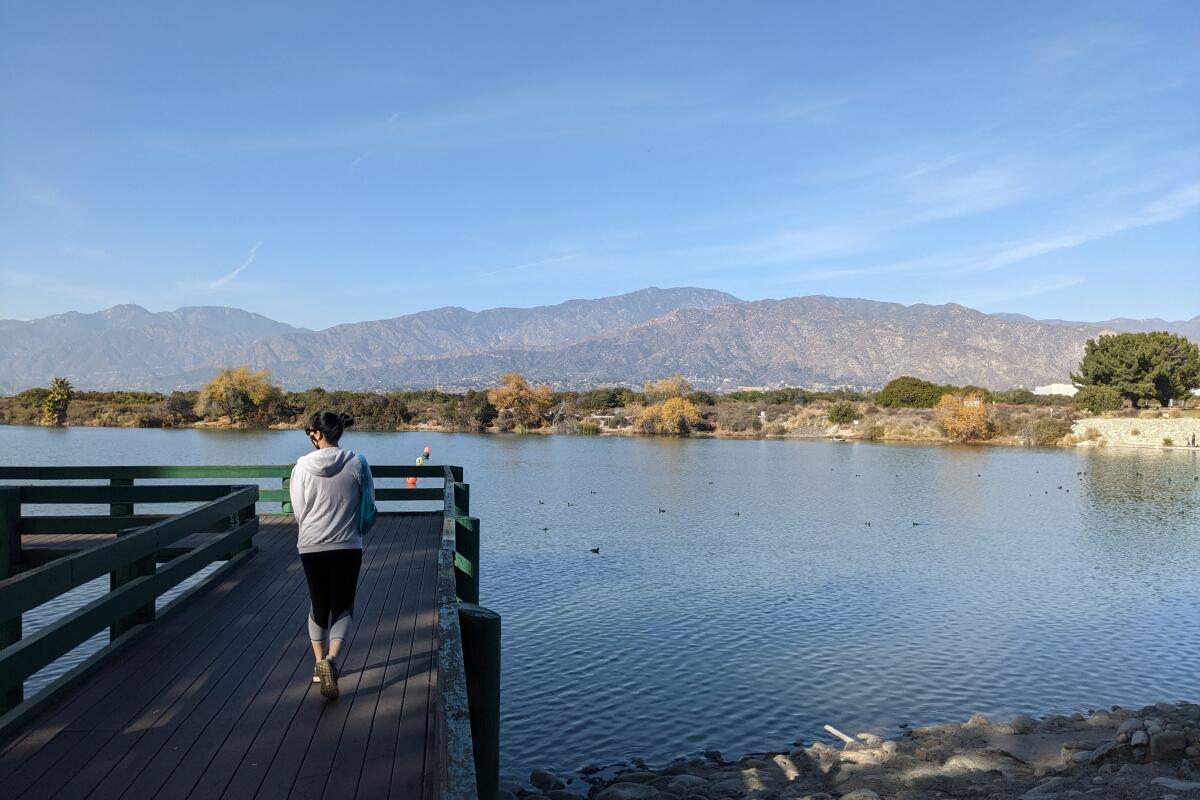
Start your day at Santa Fe Dam Recreational Area in Irwindale, an 836-acre county park developed in the 1970s and named after the eponymous dry dam constructed to prevent flooding from the San Gabriel River.
Start at the eastern edge of the lake for a four-mile highlight reel loop on the paved trail that heads clockwise along the 70-acre lake (fishing, boating and seasonal swimming allowed). You’ll see serene aquatic views with pelicans, geese, coots, cormorants and even ospreys framed by the San Gabriels. You’ll also find a surprise sandy beach with palm trees and a lifeguard tower before reaching the western edge of the lake. Here the trail becomes dirt and dives into dense chaparral, with laurel sumac and prickly-pear cactus. Eventually you come to the Santa Fe Nature Center, where you’ll find an interpretive trail about native plants and the area’s alluvial floodplain. This connects with a segment of the San Gabriel River Bike Trail, which climbs a rocky embankment for more vistas before returning to the lot and trailhead.
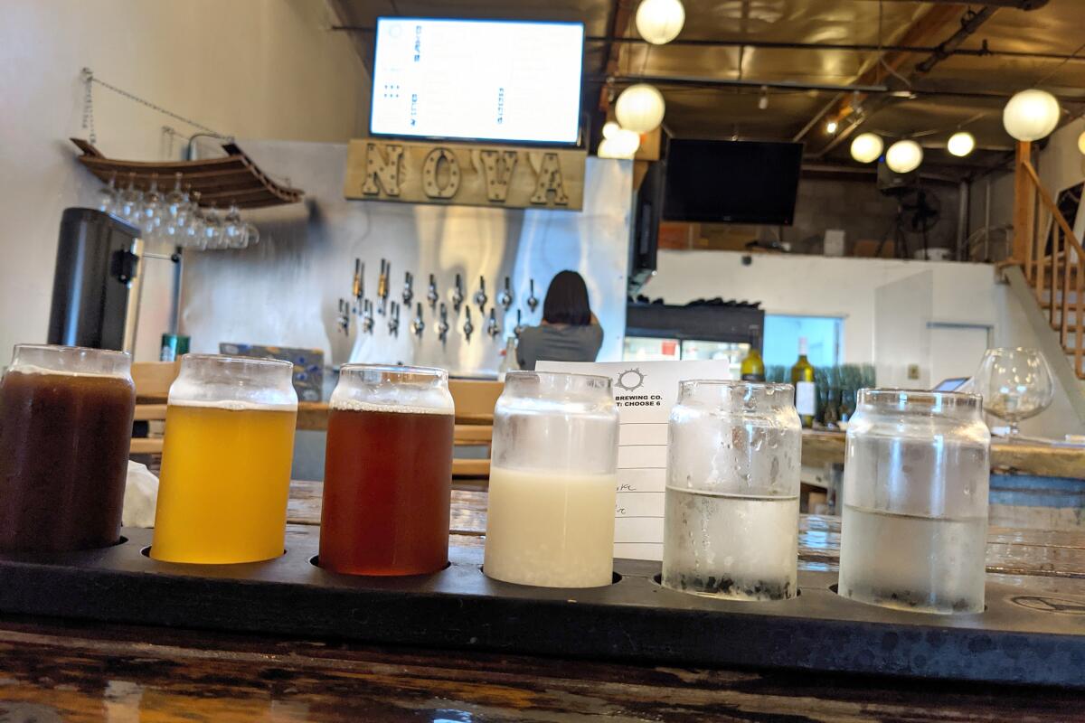
For a different watering hole, head to Nova Brewing Co. in Covina, a sake brewery where you’ll find its flagship, Gravity, as well as the unpressed, unfiltered Doburoku. It also serves beers made with offbeat ingredients, such as sake yeast, yuzu, and oolong tea. Kanpai!
South Hills Wilderness Area and Arrow Lodge Brewing
South Hills Wilderness Area
Distance from brewery: 2.5 miles
Arrow Lodge Brewing
Hours: 4 to 10 p.m. Monday to Wednesday; 4 to 11 p.m. Thursday; 4 to midnight Friday; noon to midnight Saturday; noon to 10 p.m. Sunday
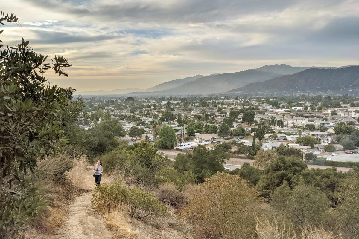
Beautiful valley vistas? Check. Hidden historic house? Yep. Bountiful breweries? You betcha. Featured as a doggie daydream in our top canine hike list, South Hills Wilderness Area in Glendora is a less-traveled gem worth visiting.
Behind a dog park, you can explore a network of trails through a two-mile loop with 750 feet of gain (check the map on the city website to further your trek). Through interpretive signage, you’ll learn about some of the native plants and trees, such as toyon, coastal sage scrub and coast live oaks (look to the branches to find chattering Western gray squirrels and scrub jays). At the north end of the park, bordering the Big Dalton Wash, is a trail along Centennial Heritage Park featuring a late 1800s historic home of Glendora founder George D. Whitcomb and a small citrus grove, a reminder of the once-prevalent agriculture of the area. A short ¾-mile walk west gets you to Big Tree Park, where a 140-year-old behemoth Moreton Bay fig stands just shy of 100 feet tall and 50 feet in diameter.
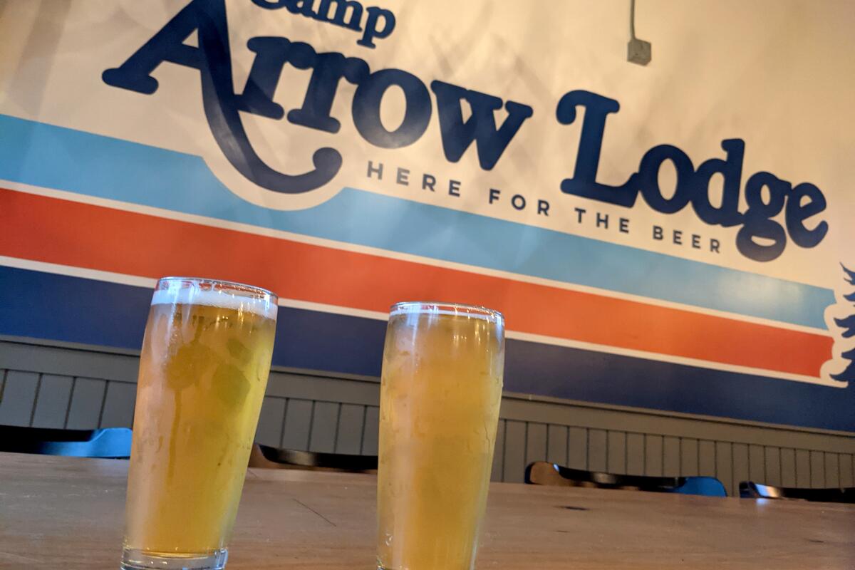
Afterward check out two breweries within steps of each other: Arrow Lodge Brewing, a cabin-themed place with pinball machines, and Alosta Brewing Co. — we recommend Spadra (IPA) and Hwy 39 (Lager).
Vincent Lugo/Almansor parks and Ogopogo Brewing
Almansor Park
Distance from brewery: 1.9 miles
Ogopogo Brewing
Hours: 4 to 9 p.m Wednesdays and Thursdays; 4 to 10 p.m. Fridays; noon to 10 p.m. Saturdays; noon to 8 p.m. Sundays
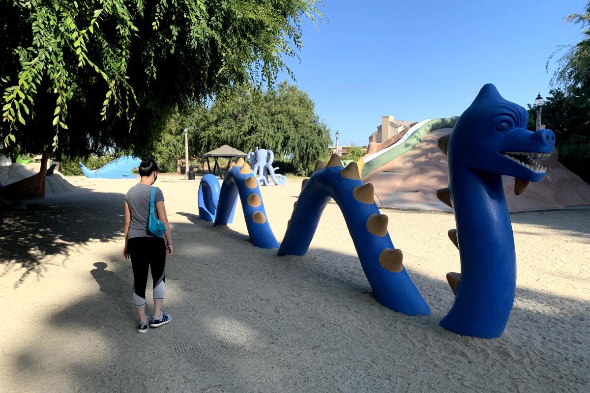
When life gives you monsters, play with them — and have a beer. Head to the San Gabriel Valley for a three-mile park-to-park urban adventure to see wildlife and mythological cement creatures.
Start at Vincent Lugo Park in San Gabriel and cross the lawn to find a dirt trail that crosses a dry streambed. The shaded path leads you to La Laguna, a hidden haven with colorful, climbable creatures. The monster park, created in 1965 by Mexican immigrant Benjamin Dominguez, includes a serpent, an octopus, a whale and other whimsical creatures. It flanks the Alhambra Wash trail to the south. Take the trail and cross Ramona Street to Almansor Park in Alhambra. Here, traverse the expansive grounds on a one-mile jogging track that passes a statue of Baseball Hall of Famer Ralph Kiner on the way to a large pond. Grab a bench to enjoy the jacaranda-framed view of a waterfall and fountain and look for turtles and waterfowl, including Canada and Egyptian geese, herons, egrets, white pelicans, coots, ducks and cormorants. Keep an eye out for a huge softshell turtle that likes to bask on the pond’s rocks.
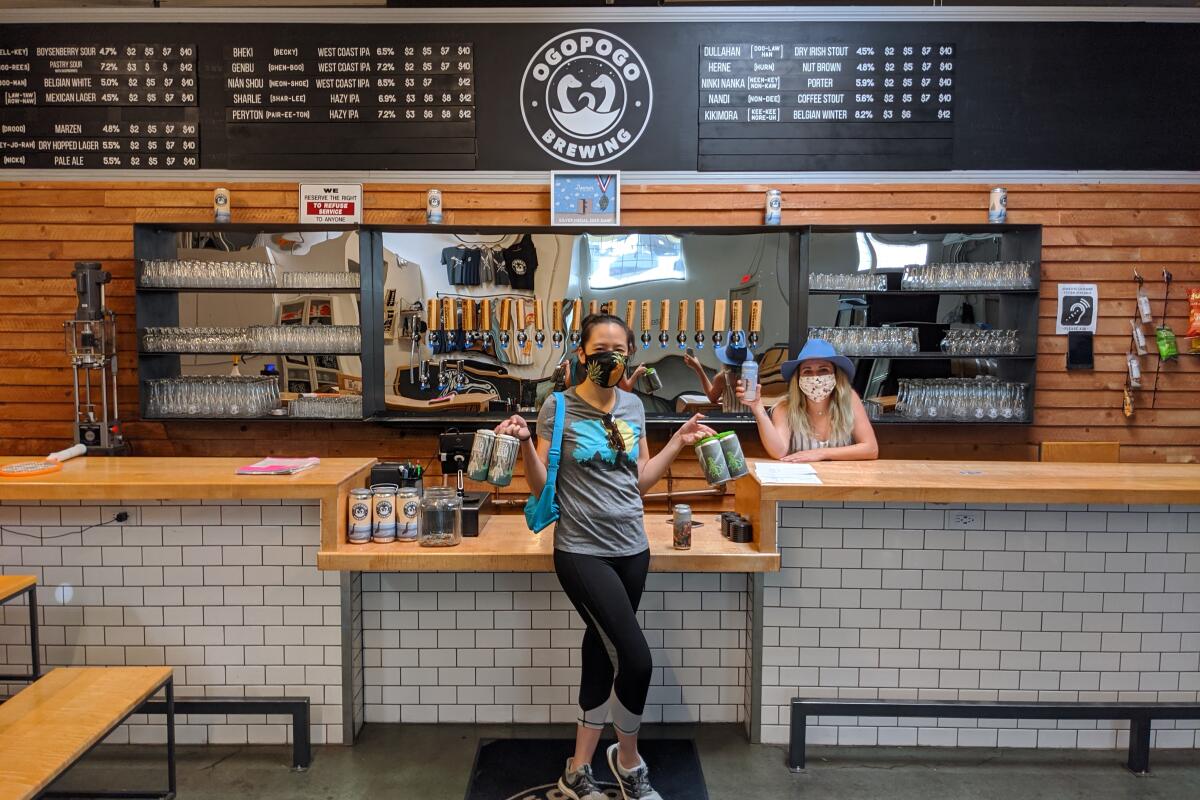
After birdwatching, visit San Gabriel’s first brewery, Ogopogo Brewing, to grab a beer. From hop-heavy picks to unique sours (and ciders, seltzers and wines), each is named for a mythical being, which provides a perfect conversation starter to pair with a post-hike brew.
Whittier Narrows Recreation Area and Progress Brewing
Whittier Narrows Recreation Area
Distance from brewery: 1.8 miles
Progress Brewing
Hours: 3 to 9 p.m. Monday to Thursday; 3 to 11 p.m. Friday; 3 to 10 p.m. Saturday; 1 to 8 p.m. Sunday
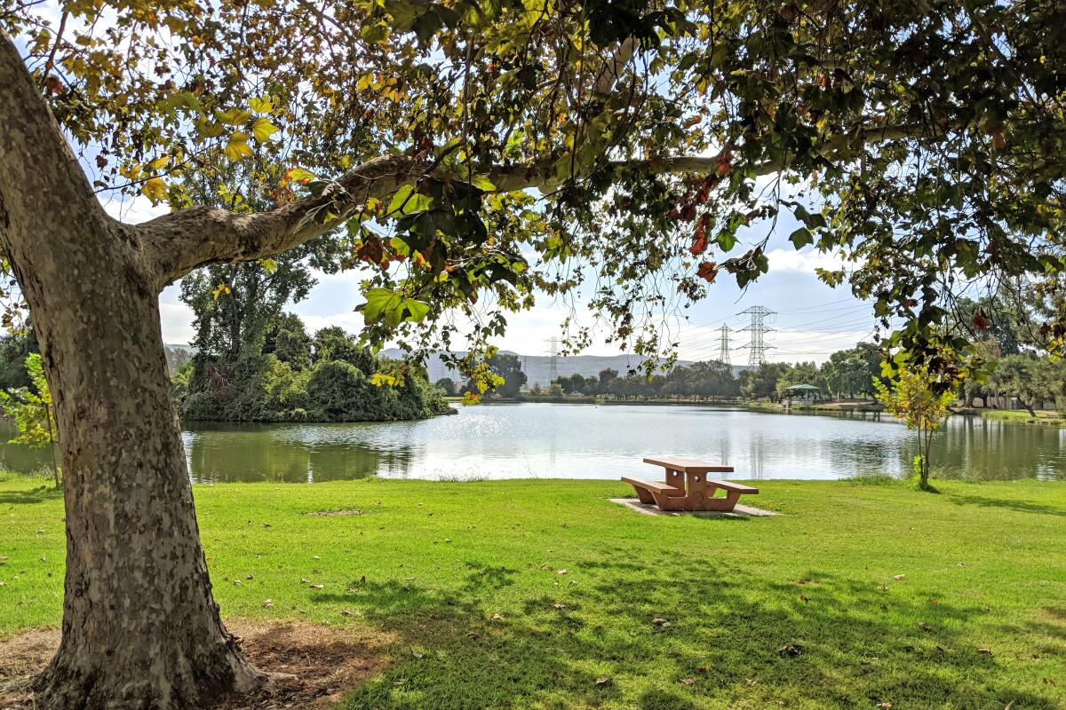
Whittier Narrows Recreation Area is a sprawling 1,492-acre public space between the Puente and Montebello hills in South El Monte. Explore (almost) all the park has to offer via a three-mile figure-eight loop that includes a visit to a beautiful lake.
Start at the trailhead at Lot D, which borders and weaves around the lakes. Here you can rent bikes, paddleboats and kayaks to supplement a hike, bird-watch or day of fishing (rainbow trout are stocked). The birdwatching is especially great at Legg Lake, one of the first bodies of water you come to. Canada geese dominate the landscape and reluctantly share the shoreline with other waterfowl, like great blue herons, great egrets, ducks and coots. You’ll also find imaginative playground cement sculptures by Benjamin Dominguez, such as a two-headed dragon or giant octopus. Many picnic tables and benches dot the shore to view the birds, islands or model boats that can often be seen zipping across the blue waters.
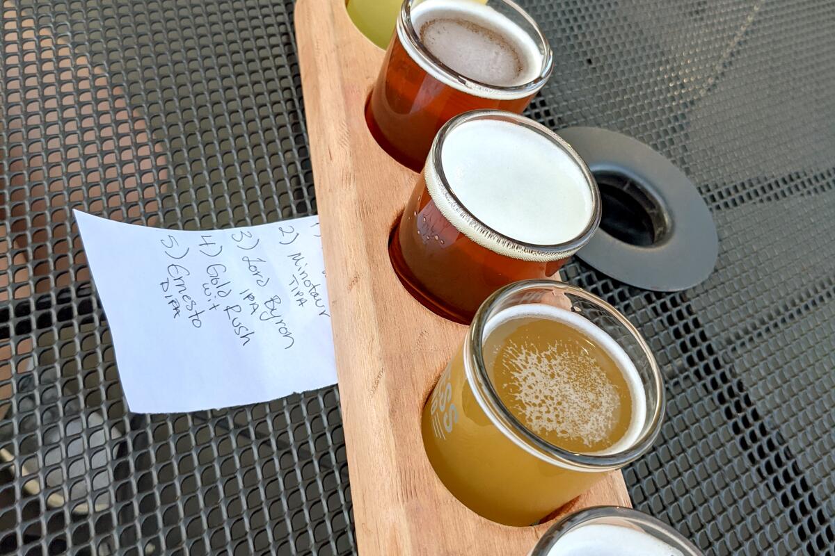
When your park day is history, it’s time to move forward to Progress Brewing, the area’s first microbrewery. Home to a large indoor and outdoor space that features TVs, old arcade games and a taco stand, Progress has a huge variety of beers, from light to dark, hoppy to funky, refreshing to strongs — and hard aguas frescas. The friendly brew-tenders can always recommend an option to match your palate, or try a sampler flight.
O’Melveny Park and San Fernando Brewing Co.
O’Melveny Park
Distance from brewery: 6.3 miles
San Fernando Brewing Co.
Hours: noon to 10 p.m. Thursdays to Saturdays; noon to 7 p.m. Sundays
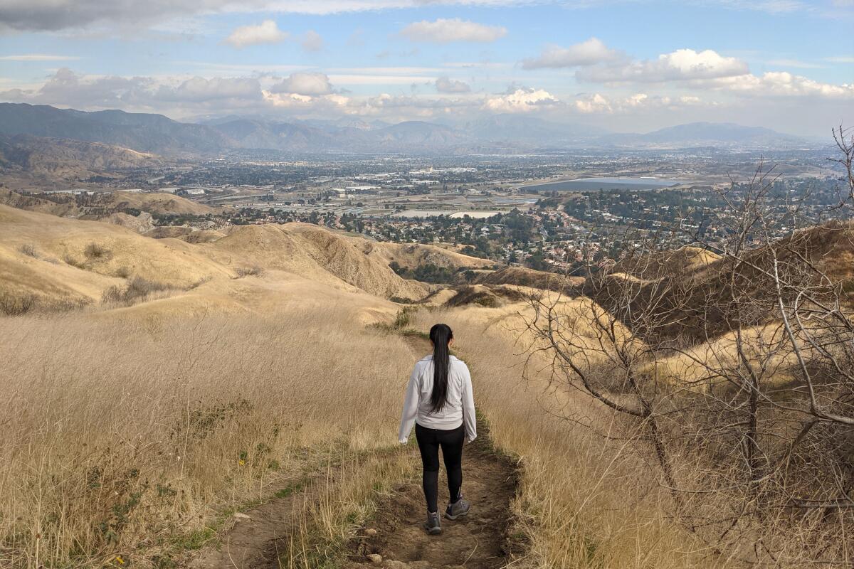
The hardest climbs should reward with the best views and brews. O’Melveny Park is arguably home to the best overlook of the San Fernando Valley.
The namesake loop trail reaches the park’s high point, 2,730-foot Mission Point, after a challenging and scenic ascent above the 672-acre green space (second in size only to Griffith Park in Los Angeles). It’s also home to a historic grapefruit grove and a sprawling picnic area under oaks, sycamores and eucalyptus. In addition to growing citrus, land donor Henry O’Melveny also grazed cattle and bred bulldogs, making it a perfect spot to work out with your pooch. Scenery includes giant sandstone walls, sprawling meadows and the juxtaposition of rolling hills and rocky outcroppings. After two miles, there is an option for an additional challenge: Mission Point.
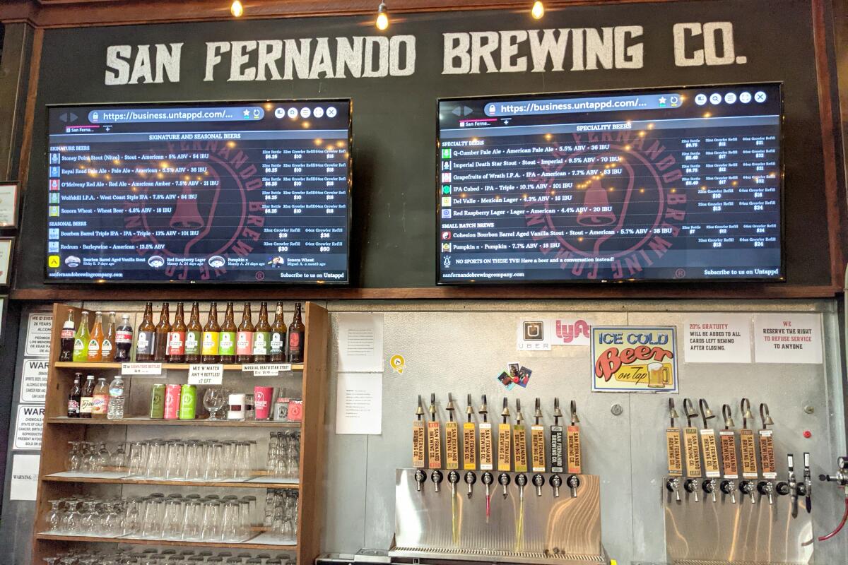
After working up a sweat, go rehydrate at San Fernando Brewing Co. for a post-adventure reward. It serves beer named after local landmarks, such as the eponymous O’Melveny Red Ale and Stoney Point Stout.
Wildwood Canyon Park and Brewyard Beer Co.
Wildwood Canyon Park
Distance from brewery: 3.6 miles
Brewyard Beer Co.
Hours: 4 to 10 p.m. Wednesdays and Thursdays; 4 to 11 p.m. Fridays; noon to 11 p.m. Saturdays; noon to 6 p.m. Sundays
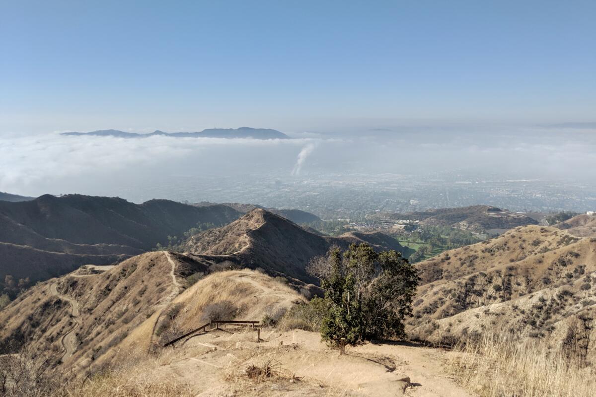
We must always remember to do what makes us feel most alive. What better way than a foot-slog followed by a palatable pint? Challenge yourself on the aptly named three-mile (round trip) Vital Link Trail in Wildwood Canyon Park in Burbank’s Verdugo Mountains and then reward yourself with a beer.
Park at the trailhead and head right at the trail marker. In just 1.5 miles, the 1,500 feet of gain will certainly get your heart pumping (hiking poles would be helpful). Views of L.A., neighboring Hollywood Hills and Griffith Park, and the surrounding Verdugo and San Gabriel mountain ranges are more than worth the steep grade of the switchback slog. At the top, find a radio tower and the Willie Mann memorial chair for a much-needed rest. The steep grade is a knee-buster on the way down, so take it slow and enjoy the vistas.
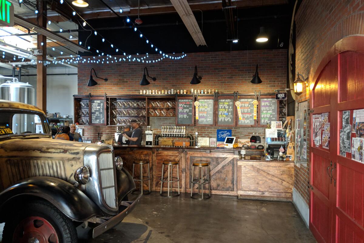
Head to Brewyard Beer Co., Glendale’s first microbrewery, tucked away under a bridge. Try one of its California Commons (its claim to fame) or an Ube IPA, a purple yam-featured ale drawn from the owner’s Filipino heritage.
Placerita Canyon and Brewery Draconum
Placerita Canyon Loop
Distance from brewery: 4.6 miles
Brewery Draconum
Hours: noon to 9 p.m. Wednesdays, Thursdays and Sundays; noon to 10 p.m. Fridays and Saturdays
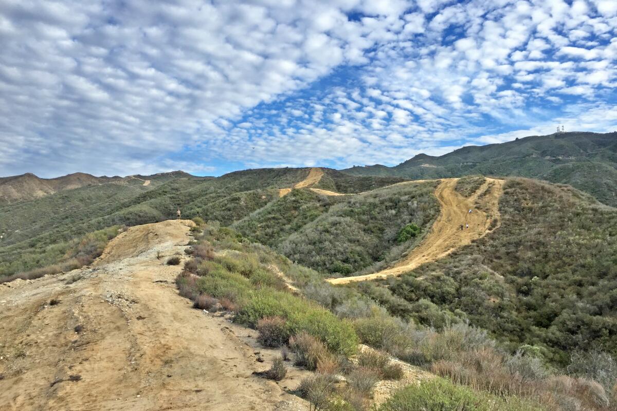
Sometimes you just want it all. For one of the most relentless ascents in Los Angeles County, head to the Placerita Canyon Natural Area in Newhall to tackle the Seven Mile Loop (which is actually 7.2 miles).
It combines several trails to explore nearly all of the park. Before starting your journey on the Hillside Trail, head west to check out the educational nature center, rustic remains of the historic Walker Cabin and Oak of the Golden Dream, where gold was supposedly first discovered in California (yep, six years before Sutter’s Mill in Northern California). Back on the trail, enjoy hiking through rolling chaparral-covered hills with a short spur trail to the peak of Manzanita Mountain. The views here are seemingly endless, stretching across the Antelope Valley to Santa Clarita and the Sierra Pelona. The highpoint of the hike is Wilson Saddle at 3,150 feet, an ideal rest stop before switchbacking into the oak woodland canyon. You’ll also traverse Placerita Creek, completing your highlight reel of SoCal’s diverse terrain.
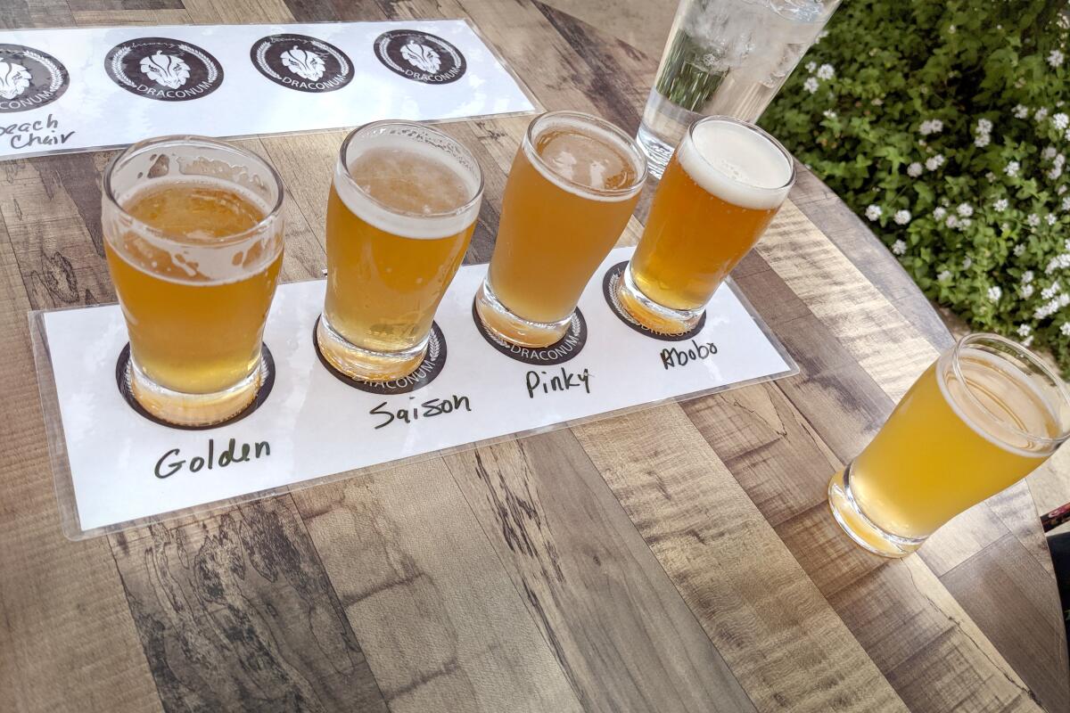
Afterward head to charming Main Street in Santa Clarita’s Old Town Newhall for a cool-down walk and a beer. Brewery Draconum is a local beer garden with elevated pub fare, outdoor games (bocce ball, anyone?) and a variety of house brews.
Bulldog Loop Trail and Cornell Winery & Tasting Room
Bulldog Loop Trail
Distance from winery: 5.8 miles

Cornell Winery & Tasting Room
Hours: 2 to 7 p.m. Thursdays; noon to 7 p.m. Fridays; 11 a.m. to 7 p.m. Saturdays and Sundays
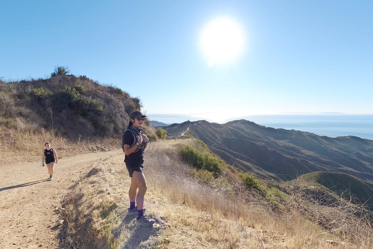
Wine improves with age, and hikes improve with wine. This challenging all-day trek along the spine of the Santa Monica Mountains will certainly test your vitality.
Follow part of the 67.5-mile Backbone trail through Malibu Creek State Park to see the old trucks and filming site of TV series “M*A*S*H,” a rock labyrinth/meditation circle (always good to find your Zen), oak-filled Tapia Park and the clear waters of manmade Century Lake. Start on Crags Road and then climb on the wide dirt road of Bulldog Motorway. At the top, Castro Crest, you’ll see sweeping vistas of Corral Canyon that stretch to the Pacific Ocean. You’ll walk through sandstone slabs and pockmarked boulders, perfect for some rock-scrambling fun and a snack break. This is a rock playground. Finish the loop and, after the slog, get some grog.
Check out the charming Cornell Winery & Tasting Room. It no longer produces wine but does serve local labels. Explore the picturesque grounds, full of art and history, and grab a bite from the legendary Old Place next door.
San Pedro and Brouwerij West
San Pedro Coastal Hike
Distance from brewery: 2 miles
Brouwerij West
Hours: 3 to 10 p.m. Wednesdays to Fridays; noon to 10 p.m. Saturdays; 11 a.m. to 9 p.m. Sundays
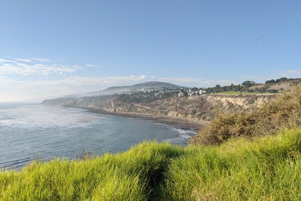
Looking for falcons, fig trees and fermentables? Try the two-mile park-to-park-to-park urban foray in San Pedro that focuses on big ocean views and big trees.
Start at the southeast corner of Point Fermin Park and walk north along the cliff-adjacent path. Look for coastal views, giant Moreton Bay fig trees and the 1874 Point Fermin Lighthouse. Hug the coast for consistent ocean vistas and then climb the prominent hill to Angels Gate Park, home to the Fort MacArthur Museum, Korean Bell of Friendship (a bronze bell that was a gift of the South Korean government) and even more expansive seascapes. The 360-degree views are awe-inspiring, but scan the skies for the true treasure among the clouds: peregrine falcons. A bit north you’ll find Wilders Addition Park, which has a dirt bluffs trail under the palms, and White Point Nature Preserve, a 102-acre coastal chaparral preserve with a 1.3-mile loop and perfect turnaround point. If you want to extend your walk, head to Cabrillo Beach, just one mile from Point Fermin Park.
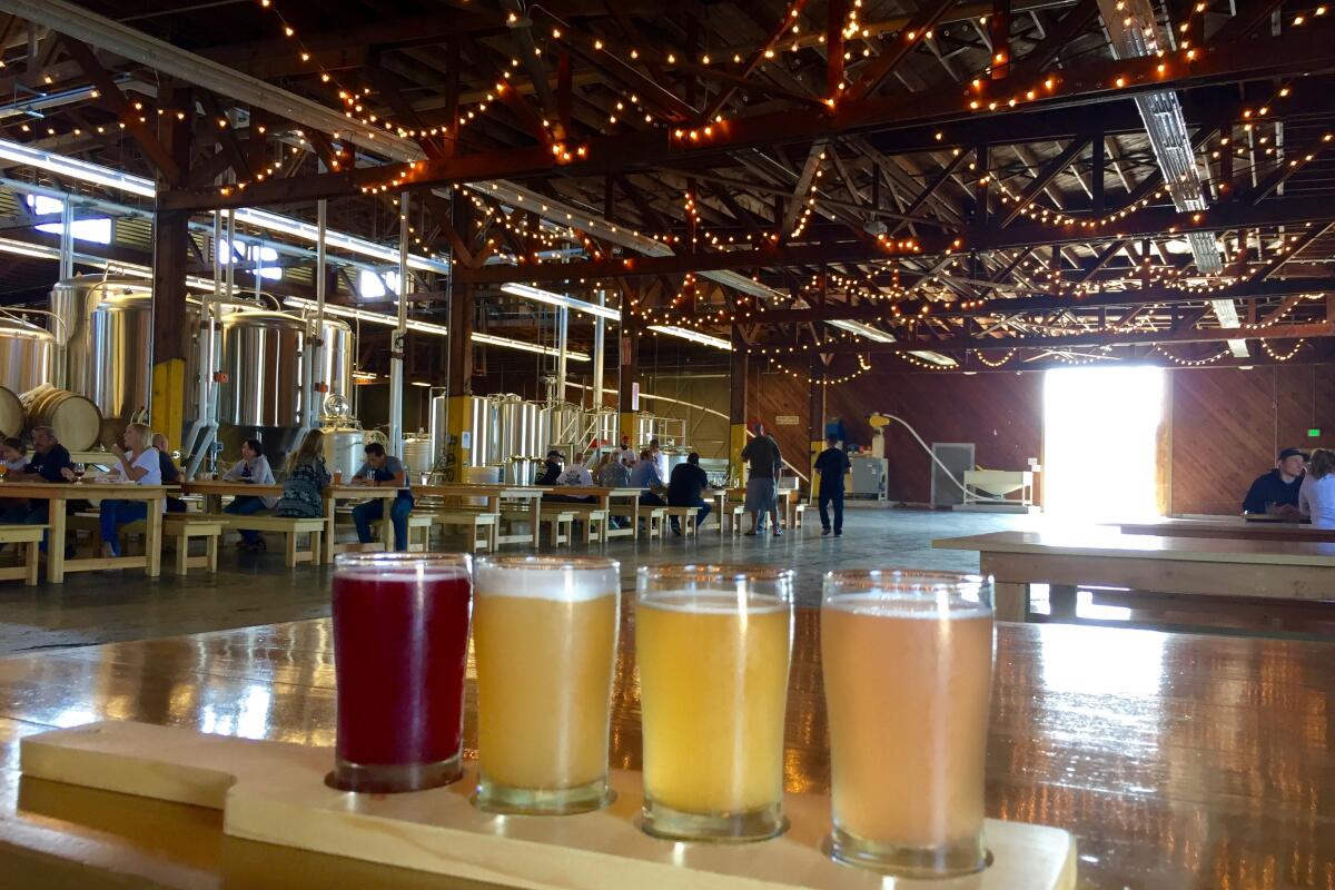
When you’re ready for a post-walk treat, head to Brouwerij West, home to grand ales in a massive warehouse.
Rocky Peak Park and Hand-Brewed Beer
Rocky Peak Park
Distance from brewery: 11 miles
Hand-Brewed Beer
Hours: 4 to 10 p.m. Mondays to Thursdays; 2 to 11 p.m. Fridays and Saturdays; 11 a.m. to 9 p.m. Sundays
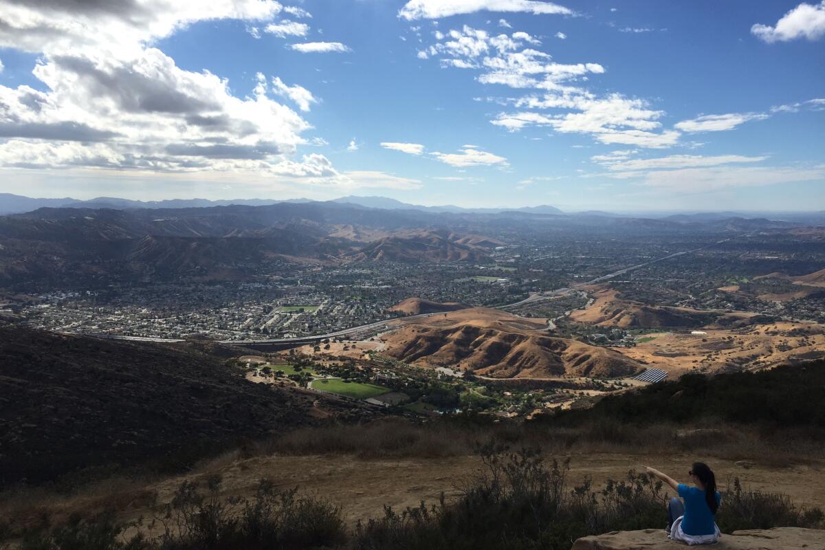
Wanna rock out a walk route with knockout views and concocted stout brews? Take off on a 8.5-mile challenging workout with more than 1,800 feet in elevation gain through Rocky Peak Park at under-the-radar Simi Valley.
To reach the 2,717-foot summit Rocky Peak, you hike in an Old West setting, full of dramatic rock slabs and grassy hillsides along a dirt and bedrock trail. Lots of opportunities for rock scrambling, including one route that leads to a sandstone wind cave. The vistas are consistently spectacular. Look for expanding epic views of the Simi and San Fernando valleys on your way to the peak. It’s a rock scramble to reach the top; sign the guestbook and enjoy stunning 360-degree views.
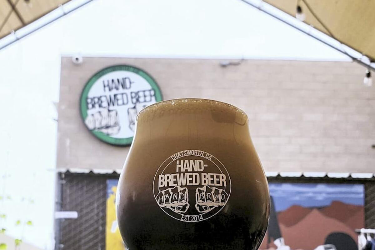
For beer that rocks just as hard, head to Chatsworth’s Hand-Brewed Beer (the Rocky Peak Red IPA is a post-hike must, if it’s on tap. Whatever you enjoy, join the Stoney Pints Mug Club to get bigger pours and a cool ceramic stein.
Tarantula Hill and Conejo Valley Botanic Garden and Tarantula Hill Brewing Co.
Tarantula Hill
Distance from brewery: 2 miles
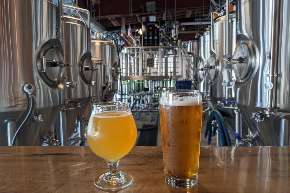
Tarantula Hill Brewing Co.
Hours: noon to 10 p.m., Sundays to Wednesdays; noon to 11 p.m. Thursdays to Saturdays
A typical nature trip to Thousand Oaks encourages a stop at the neighboring Santa Monica Mountains, but opt for two hidden urban jaunts on your next visit that will set your spidey sense tingling.
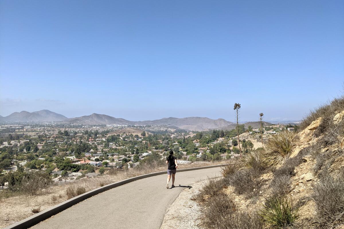
Tarantula Hill, also known as Dawn’s Peak, is a prominent crest whose trailhead sits conveniently off Gainsborough Road beneath two oaks. The paved trail gradually wraps counterclockwise through grassland (where apparently the eponymous arachnids do indeed roam) and around the hill. After thickets of prickly-pear cactus, the trail ascends more sharply, gaining 200 feet in just one-third of a mile. At the 1,057-foot summit, enjoy incredible 360-degree views. You can see Boney Mountain in the Santa Monica Mountains framing the surrounding suburban landscape; looking north, you can catch the Topatopas of Los Padres National Forest. Then add a one-mile loop in the charming Conejo Valley Botanic Garden for flora discoveries, such as coast redwoods and Chilean, South African and Australian gardens.
For a different kind of flower variety (think hops), head to Tarantula Hill Brewing Co. to try some ales. Hopheads will like their selection, a nice web of rotating drafts and guest taps too. Talk about creepin’ it real.
