
Hosting a guest who wants to hike? Here are 17 L.A. trails for every type of visitor
One of the best parts of living in Los Angeles is introducing out-of-town visitors to the things we love about our home.
That includes our many natural wonders, including iconic parks, the Santa Monica and San Gabriel mountains and nature preserves galore. With 900,000 acres of protected public lands, L.A. County offers abundant opportunities for outdoor adventures.
Planning your weekend?
Stay up to date on the best things to do, see and eat in L.A.
But where to take grandma? Or your friend who loves iconic vistas but hates exercise? I’ve put together a comprehensive list for (almost) every type of out-of-towner you might host. It includes hikes for a wide range of ages and fitness levels, and features everything from famous filming locations to birding hotspots.
Before heading out, make sure everyone has a water bottle and hat. Grab the sunscreen, and don’t forget to stop for trail snacks. It’s time to explore L.A. beyond the boulevards and boardwalks!
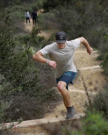
For your Midwestern pal dying to see celebrities: Runyon Canyon Trail
It also serves as an unofficial Hollywood hike of fame. Canadian crooners Justin Bieber and Shawn Mendes have both been spotted there. Others who’ve enjoyed Runyon’s dusty trails include rapper The Game, actor Alexander Skarsgard and actress Felicia Huffman a month after getting out of prison.
Regardless of whether you spot anyone, the trail offers a challenging workout and some of the most magnificent urban views from any local hiking trail, period.
Parking at Runyon Canyon is sparse — you’ll likely have to find a spot in the neighborhood, then huff it up a modest residential hill to the trailhead. Start on the paved road just past the entrance to the park, which likely will be crowded if you’re there on a weekend. Quickly take a sharp left onto the narrower, dirt trail and wind your way upward. This portion of the hike gets steep — and rocky — very quickly. Hiking poles would not be out of place on some stretches. But the path through the Hollywood Hills is rugged and beautiful; and it passes by some dramatic-looking homes. There are also postcard-worthy views of all the expected, A-list sights: the Hollywood sign, the Griffith Observatory, the downtown L.A. skyline. On a clear day, the view stretches from the Santa Monica Mountains to the Pacific Ocean.
And yet the journey somehow also feels remote, or at least removed from the urban bustle below. When the wind kicks up, it’s so loud from the trail peaks it may pause conversation. The result is a rejuvenating escape in what still feels quintessentially L.A.
Your friend will thank you, even if they don’t see Timothy Chalamet.
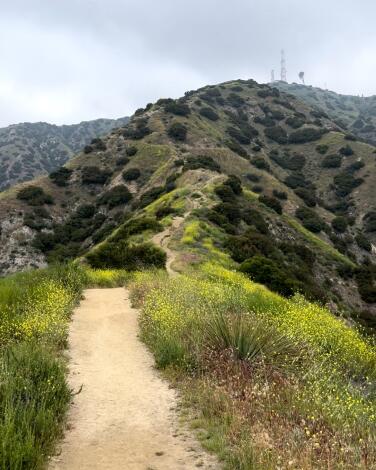
For your CrossFit-obsessed sister: Vital Link Trail
This challenging hike starts near the entrance to Wildwood Canyon Park and takes you up, up, up an exposed dirt path. Over the span of two miles, you will gain about 1,700 feet in elevation. But at the top you’ll be rewarded with striking views of Burbank, including Hollywood Burbank Airport, and surrounding communities. On a clear day, you can see Long Beach. (All of which can be enjoyed from a lounge chair built in memory of Willie Mann, a motion picture grip and hiker who introduced his wife to this trail.)
Because of its steepness, sandy soil and some erosion, the trail is easier to navigate, especially on your way down, with trekking poles.
Stick to the switchbacks, and avoid using shortcuts through habitat. It is easy to take a wrong turn because of multiple offshoots. Use an outdoors mapping app or paper map your first time there.
Also: We hear that on New Year’s Day, you can hike this trail early and sometimes catch military aircraft leaving the Hollywood Burbank Airport to fly over the Rose Parade in Pasadena.
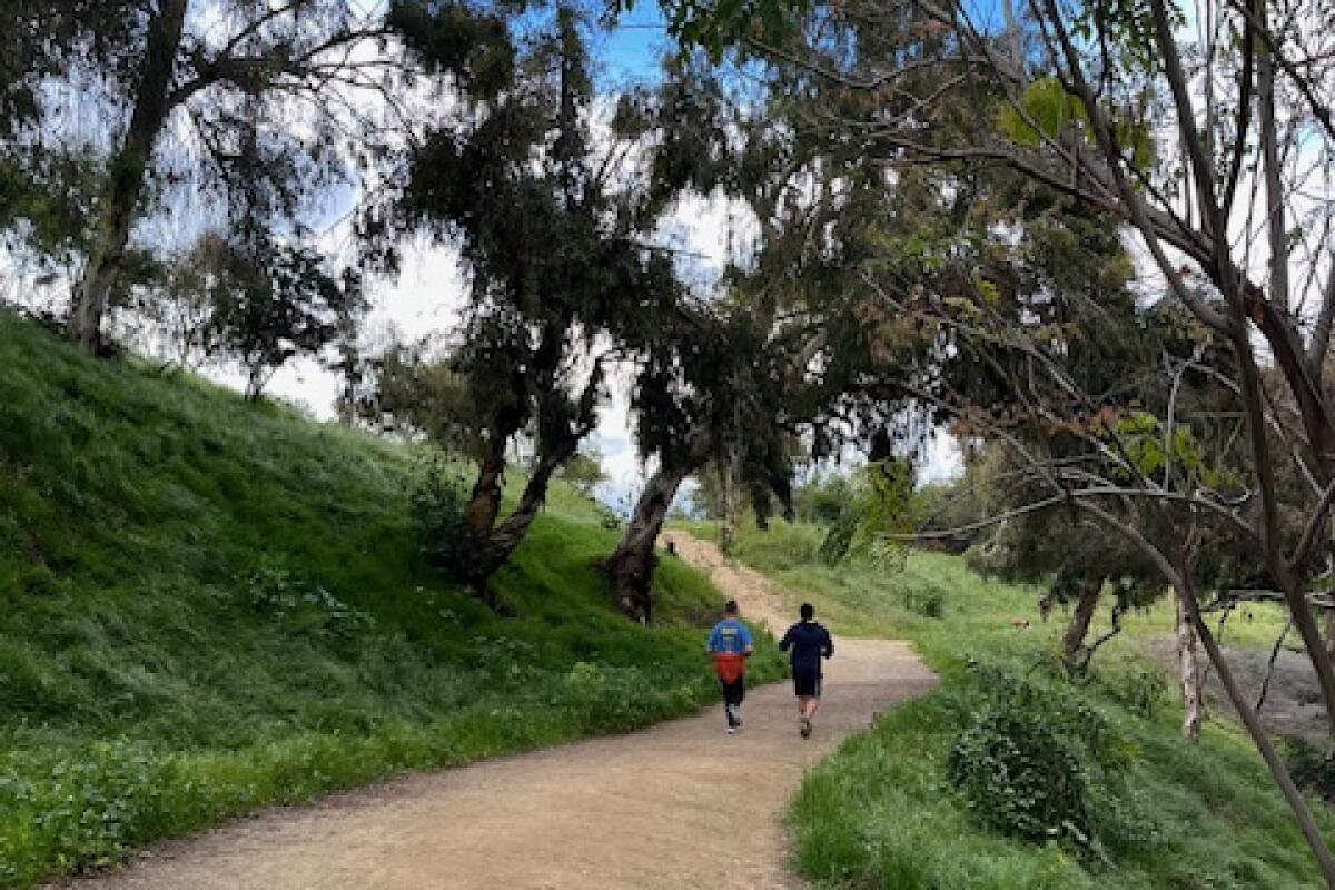
For your parent with knee issues: Elysian Park West Loop Trail
What is perhaps most charming about this hike is the commingling natural and urban elements. The sounds of sparrows, ravens and crows mix with blaring Latin music from a nearby birthday picnic and intermittent cheers from a pick-up soccer game in the park, for example. Meanwhile, the scent of fuchsia-flowered gooseberry, California wild rose and purple sage blend with wafting barbecue smoke.
The trailhead, off of Stadium Way in Elysian Park — just minutes from downtown L.A. — is easily accessible and yet, as you wind around the cityscape, ensconced by coast live oaks, California walnut and spindly palm trees dotting the hilltop, you feel completely transported. This is why we live in L.A.
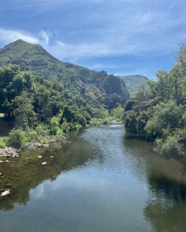
For your uncle who really loves MASH: Rock Pool and Century Lake Trails
Step out of your car and the drive is suddenly worth it; feel your breath slow and your chest open up.
You do have to pay to park here (do so in the second lot on your left and the hike starts opposite the lot, at the bottom of the stairs) and dogs are not allowed. But those inconveniences don’t stack up against the payoff: a naturally diverse hike that also includes some Hollywood sparkle. Parts of the 1968 movie “Planet of the Apes” were filmed here — the “Planet of the Apes wall,” at the rock pool, is a popular climbing destination — as were scenes from the long-running TV series “MASH.”
Follow the signs to the MASH hike, and you’ll spot a jeep and ambulance, among other things, inspired by the show.
While this isn’t a steep or difficult hike, it does include at least one creek crossing near the end. The afternoon we visited, due to recent rain, the water was knee-deep, though the current was mild. Bring waterproof shoes if you have them.
Or just walk right in with regular sneakers on, as the young woman trudging behind us did. She appeared unfazed. Her open-midriff T-shirt summed it up best: “C’est la Vie.” A most appropriate message while on the trail.
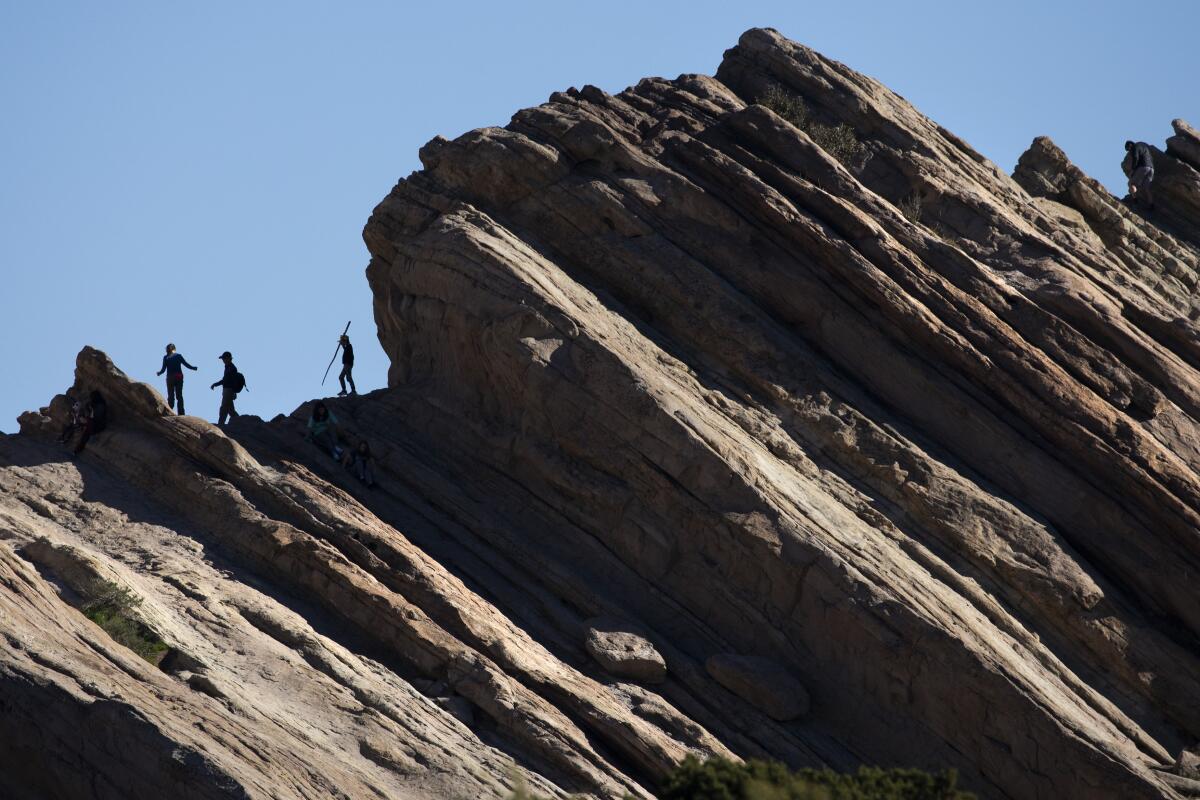
For your Trekkie college roommate: Vasquez Rocks
That’s only a sliver of Vasquez Rocks’ rich history.
Hidden gems to look for include rock art created by the Tataviam people who once called the area home. First-timers may find the rocks eerily familiar, with good reason: The 45-degree-angle behemoths have been featured in film and TV shows, serving as backdrops for alien terrain (“Star Trek”) and westerns (“Blazing Saddles,” “Westworld”).
While there, you and your friend can reenact the epic fight scene from “Arena,” an episode in the first season of the original Star Trek where Captain Kirk faces off against a Gorn captain outside the iconic jagged rocks.
Park and start at the Vazquez Rocks Natural Area and Nature Center off of Escondido Canyon Road. Follow these directions to the trailhead.
And then boldly go where no man has gone before. (Your friend will get that joke)
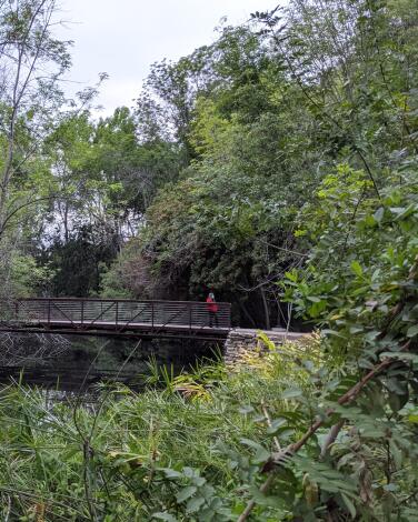
For your bestie who's getting into birding: El Dorado Regional Park
Enter the 642-acre El Dorado Regional Park in east Long Beach. While it may be a lesser-known outdoor recreation hub, the massive park has a disc golf course, archery range, dog park, model plane field, campsites, a frontier theme park and a pristine Nature Center with a gorgeous hike suitable for all ages and skill levels.
The entire trail system is just 2½ miles and with plenty of signage, it’s hard to get lost. Along the way, you’ll pass five bridges with views of two lakes — sanctuaries for turtles, egrets, great blue and night herons, coots and other waterfowl. There’s also a babbling stream that winds through massive oak groves. Be sure to stop at interpretive signs detailing local flora and fauna, such as wild blackberry bush, and predatory birds like the great-horned owl or resident raptors you may spot hidden in the trees. Outside of the nature center, it’s worth checking out the other green spaces, particularly the north park, where you’ll find duck ponds lined with cattails and frequented by Canada geese.
Park at the Nature Center lot ($6 to $9) or outside of the lot. Entry by foot to the nature center is free. Directions to trailhead.
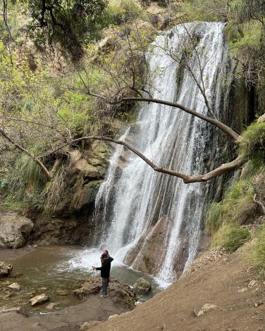
For your little sister with more TikTok followers than you: Escondido Falls
Your endpoint will be the 50-foot lower cascades, which trickle year-round but are most impressive after it rains. It’s the perfect picnic spot — just grab a breakfast burrito at Lily’s Malibu beforehand. You’ll notice the falls are tiered, reaching 150 feet at the upper section. (You can’t climb all the way up there, though. Trail access is restricted.)
Park in the lot at Winding Way off PCH ($12) and follow the trail along the paved road about a mile to the Edward Albert Escondido Canyon Trailhead. Directions to the trailhead.
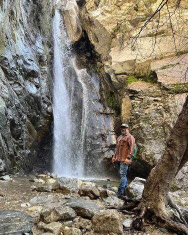
For your bored tween cousin: Millard Canyon Falls
Park at the Millard Canyon campground. A craggy, tree-lined ravine anchored by a creek leads hikers up on a gentle climb toward a clearing. Here, the breathtaking swoosh of a 50-foot-tall waterfall will fill your eardrums; the recent storms have given this wash a healthy wallop of fresh water. The water is icy, but that won’t deter an occasional visitor from taking what looks like a soul-cleansing dip. And those cool temperatures make it an especially great place to splash around with kiddos in the summer.
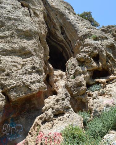
For your rambunctious nephews who've already broken your favorite lamp: The Cave of Munits
Getting there requires a mile trek that finishes off with a steep incline up a sandy path. While exploring, consider its namesake: a Fernandeño and Western Tongva story of tragic misunderstanding that involved a grieving chief, a sorcerer named Munits and a handful of murders. (Want to learn the full story? Read Chapter 10 of this academic article.)
To reach the caves, you can either take a wide exposed dirt path that starts at the El Escorpión Park gate or a narrow, shady route along the riverbed. Both are visible on maps on outdoors navigation apps. Grippy shoes are a must, and trekking poles could be helpful.
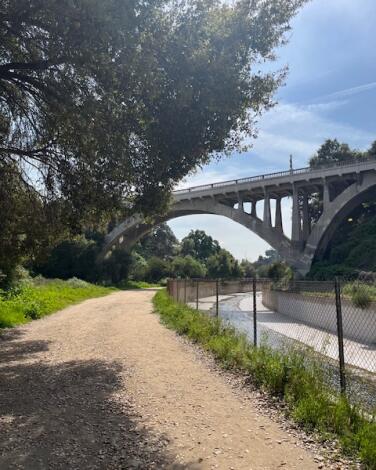
For your aunt who loves architecture: Lower Arroyo Seco Trail
The trailhead starts at San Pascual Stables, but there’s a parking lot for hikers adjacent to the baseball fields; there’s also bountiful street parking.
It’s nearly impossible to get lost on this hike — most of the walk follows the concrete river basin. But there are a few, more remote trails that veer off from the main path, with densely planted trees and spots of shade. There are also benches, for a rest, along the way.
For a relatively straightforward hike, there’s a lot to hold your interest here. The trail passes an archery range in its second half, at which point the colorful, mounted targets are visible through the trees, as are archers wielding bow and arrow .
Walking under the great arches of the 1922 San Rafael Bridge and the 1914 La Loma Bridge adds a touch of drama to an otherwise facile and peaceful hike.
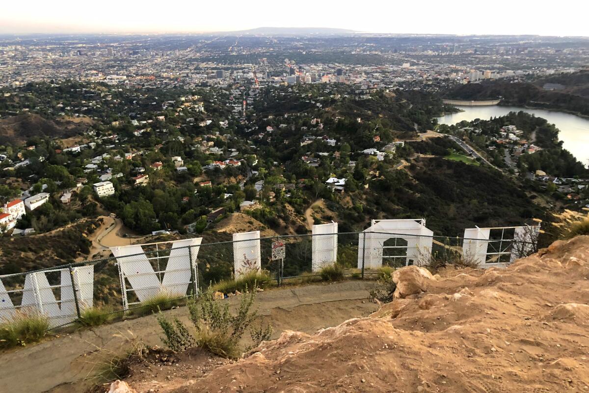
For anyone begging to see the Hollywood sign: Mt. Lee
Park in a lot and start at Brush Canyon/Canyon Drive West in Griffith Park. Directions to trailhead.
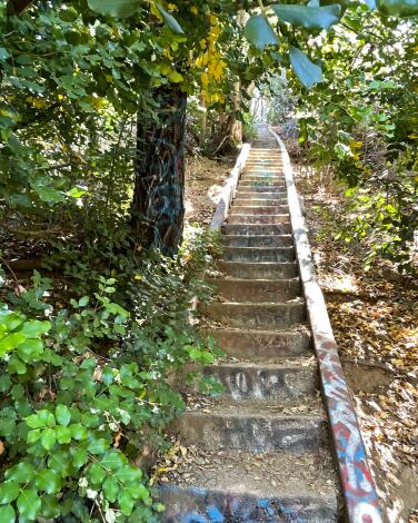
For your brother's art history buff boyfriend (whom you're hoping to impress): Murphy Ranch Trail
Then things get especially interesting.
The land, once known as Murphy Ranch, has a storied if opaque history that’s largely been passed down orally. It was developed in 1933 by a man named Jesse Murphy, and historians believe a colony of Nazi sympathizers took up residence there through the mid-’40s. In 1948, supermarket millionaire Huntington Hartford purchased the property and opened an artists colony there, housing more than 400 artists into the mid-’60s. The city of Los Angeles purchased the land in 1973. Many now-crumbling, graffitied concrete and steel structures still remain, adding an ominous mystique to the otherwise stunning natural landscape.
The hike includes a narrow and very steep staircase. We’re talking 524 steps, descending about 260 feet, many of them covered with overgrown weeds, wildflowers and grasses. Tread carefully, especially after a rainfall, which may leave still-slick mud on the shallow stairs. The steps — and nearly every concrete surface along this hike — are slathered with multicolored graffiti. Which, contrasted against the mountain peaks and dense foliage, is quite beautiful, especially in springtime. The graffitied marks and swirls blend into the surrounding yellow, white and purple flowers.
And the near-constant whooshing wind teases secrets: If only these trees could talk.
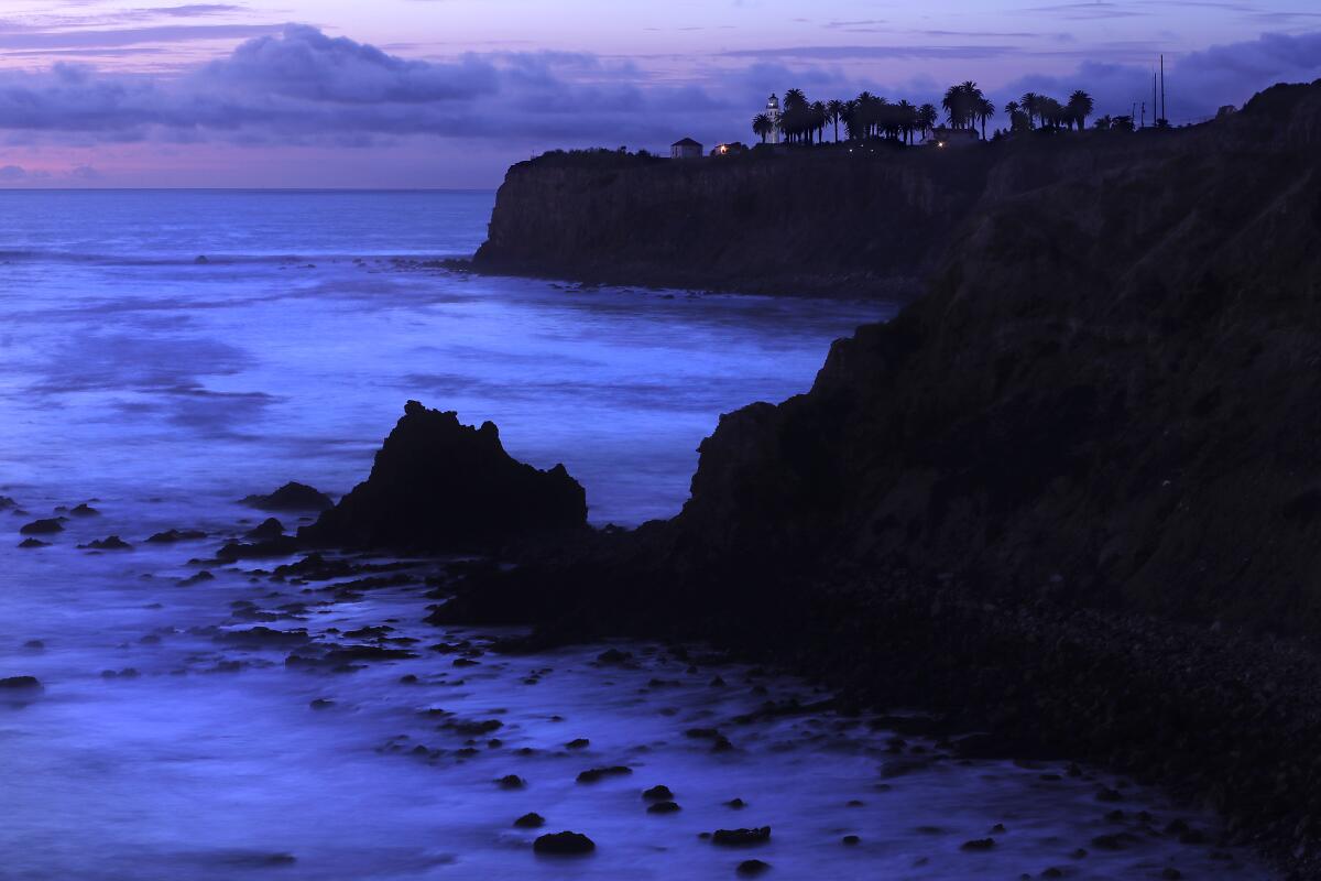
For the perfect beachside picnic with your cool grandma: Seascape Trail and Golden Cove Trail
The wide trail starts at the Point Vicente Interpretive Center, a small museum and gift shop with a large deck. From December through late May, whale watchers gather daily to record the number of migrating gray whales that pass the peninsula. From the deck, the path is clearly marked as it heads up the coast and intersects with the Golden Cove Trail. Continue to the Calle Entradero vista point (you’ll know it when you see it), then turn around and retrace your steps.
This is also a place to linger. Bring a feast and kick back at one of the picnic tables with the five-star ocean views. Take a look at the nearby Point Vicente Lighthouse, which in 1926 was “the brightest beach in Southern California,” the website says. It typically opens for visitors one day a month. Parking is free.
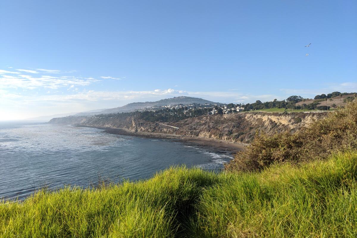
For your childhood BFF who needs to unwind: San Pedro Coastal Hike
Park on the street at the southeastern end of Paseo del Mar Drive. Directions to trailhead.
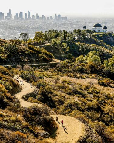
For a family excursion to howl at the moon: Mt. Hollywood
At night, the panorama changes to a carpet of twinkling lights. Visit this peak on a full moon for an even more stunning view. (You’ll likely have company, as full moon hikes are a popular activity in the area.)
Griffith J. Griffith donated the land to the city in 1896 as “a resort for the rank and file, for the plain people.” There are plenty of routes to this peak, but starting on the Fern Dell trail gives you a serene bonus: The nature trail hugs a quaint stream among ferns, sycamores and coastal redwoods.
Park on the street and start at Fern Dell Nature Trail at Black Oak and Fern Dell Drive in Griffith Park. Directions to trailhead.
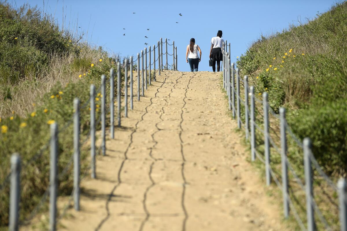
For your long-distance partner who's just in town for the weekend: Park to Playa Trail
Parts of the 13-mile route have been open for years, but it wasn’t until November that it was completed. Good views of L.A. are guaranteed on the dirt-and-paved route from Baldwin Hills to Playa del Rey. Enjoy side trips in Kenneth Hahn State Recreation Area (the MLK Memorial has great views of L.A.), Stoneview Nature Center, the Baldwin Hills Scenic Overlook and the Ballona Creek Bike Path that will keep you going in the right direction. Set up a car shuttle, call a ride-share or use public transit to return to the start.
Park or take transit to the start at the Stocker Corridor Trail in the Baldwin Hills area. Directions to trailhead.
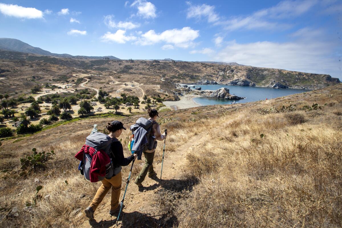
For your sidekick from Scouts: Little Harbor
Start and end at Two Harbors. Directions to trailhead.
Sign up for The Wild
We’ll help you find the best places to hike, bike and run, as well as the perfect silent spots for meditation and yoga.
You may occasionally receive promotional content from the Los Angeles Times.


