More rain ahead following wettest November in years for parts of L.A. County
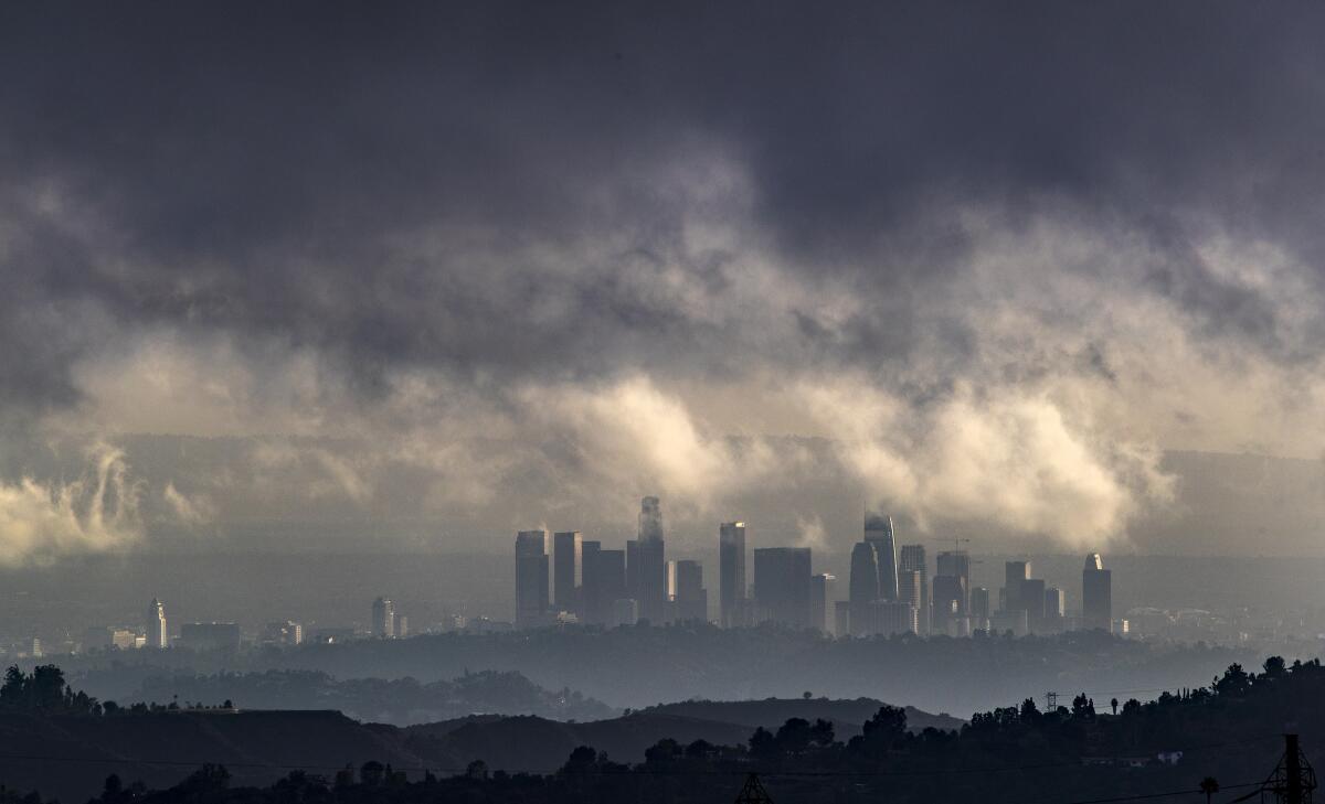
A series of storms that battered Southern California last month brought more rain to portions of Los Angeles County than residents had seen during the same month in nearly a decade.
The storms, which arrived in the region in late November, dumped 2.12 inches of precipitation on downtown Los Angeles — more rain than the area had seen in that month since 2011, according to data from the National Weather Service. Long Beach got 2.86 inches of precipitation last month, while the Hollywood Burbank Airport received about 1.85 inches. Those areas also hadn’t seen as much rain in November since 2011, data show.
The wet weather has pushed large swaths of Southern California above normal in terms of precipitation, while the central and northern parts of the state remain drier than normal for this time of year. More rain is on the way for Los Angeles County, but what that means in the long term for California’s winter isn’t yet certain.
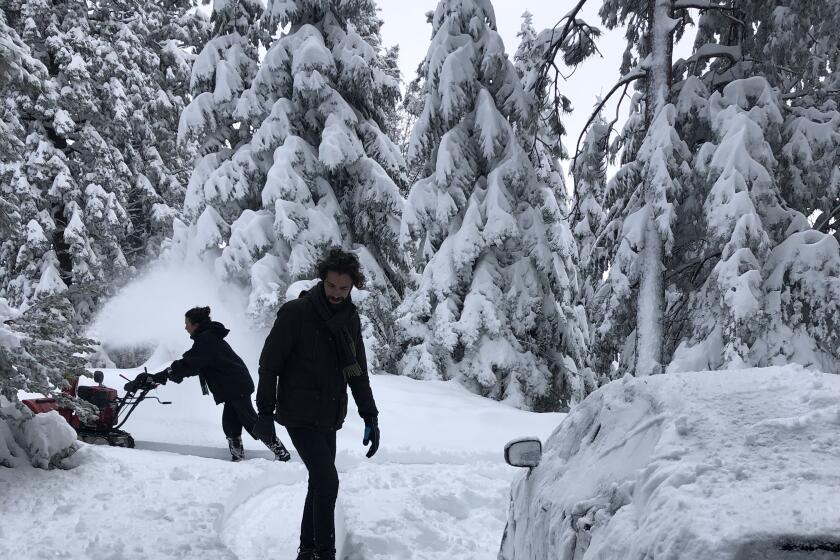
The Southland saw a series of storms in November 2011, including a cold front similar to the one that slammed California on Thanksgiving Day last week, pouring rain across the state and blanketing the mountains in snow. Although fall marked a promising start to the 2011-2012 water year — which runs from October to September — Los Angeles County saw below-average precipitation beginning in January that year and continuing through the rest of the season.
“We may start off wet and then dry out or start off dry and then see rain,” said Tom Fisher, a meteorologist with the National Weather Service in Oxnard. “It doesn’t beget a pattern for the entire winter.”
Ski resorts rejoice in brisk winter business
What is clear is that more soggy weather is on the horizon this week.
An atmospheric river, swelled with subtropical moisture that’s sweeping in from the west, is expected to move into the southern portion of the Central Coast and Los Angeles County late Tuesday. The heaviest rain is expected to fall between 3 and 9 a.m. Wednesday, Fisher said.
“Just in time for morning rush hour,” he quipped.
Rainfall totals of 1 to 2 inches are expected for much of the region, but the San Gabriel Mountains could see up to 3 inches of precipitation. Rainfall rates could exceed half an inch per hour in some areas, which could cause minor mud and debris flows in recent burn areas, according to the weather service.
Because there may be brief periods of heavy rain, the weather service issued a flash flood watch from 6 a.m. to 6 p.m. Wednesday for all of Orange County, the Inland Empire, the mountains in Riverside and San Bernardino counties, and the coastal, valley and mountain areas of San Diego County.
However, much of the southern section of the state won’t see as much rain as areas farther north, forecasters say. Satellite imagery of the atmospheric river shows the system aiming a fire hose of moisture toward Central California over the last two days with little movement.
Portions of Monterey County have been hit the hardest by the storm so far. The front has dumped more than 16 inches of rain in Greenfield and more than 14 inches in Carmel Valley Village. Some cities farther north, in Sonoma County, also got a solid soaking. Nearly 11 inches of rain fell on Guerneville, and Santa Rosa recorded more than 5 inches Monday, data show.
This system is also significantly warmer than last week’s storm, which plummeted snow levels to 1,500 feet, blanketing mountain ranges and the Antelope Valley region, including Palmdale, with fresh powder. Snow levels with this storm are expected to linger around 6,000 to 7,000 feet, but heavy rain and snowmelt could cause flooding in the mountains, the weather service warned.
“Right now, we’re keeping an eye on the possibility of thunderstorms in the mountains,” Fisher said. “Of course with thunderstorms, rainfall rates are higher, so we’ll be watching that tomorrow.”
Thursday and Friday will likely be dry before another weaker storm is expected to arrive in time for the weekend.
More to Read
Sign up for Essential California
The most important California stories and recommendations in your inbox every morning.
You may occasionally receive promotional content from the Los Angeles Times.
