California faces intense rain, snowstorm on Thanksgiving. Expect travel delays, possible mudslides
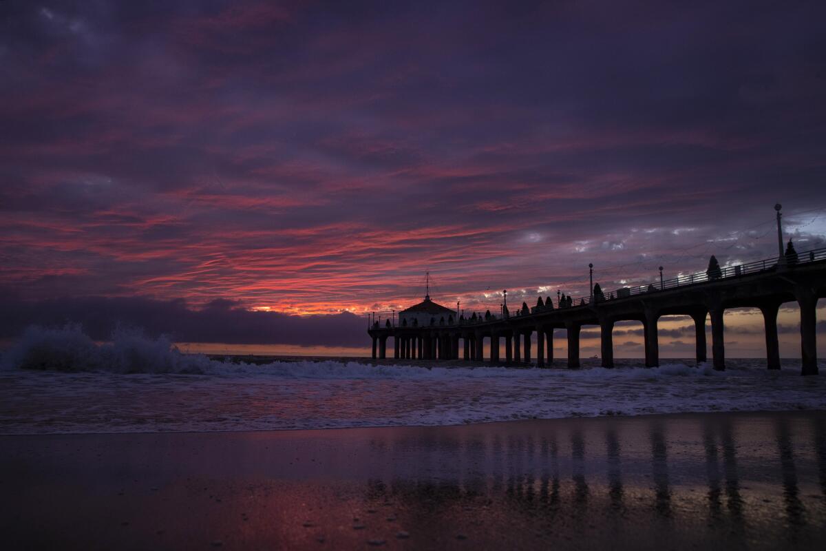
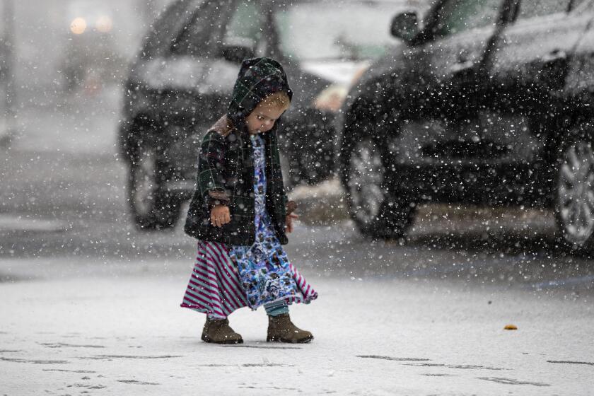
Southern Californians should expect a side of heavy rain, chilly temperatures and possibly snow with their turkey dinners on Thanksgiving as the strongest storm of the season — so far — rolls into the Southland.
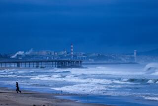
A cold front originating in the Gulf of Alaska is expected to move into California early Wednesday, bringing widespread rain to Los Angeles County and surrounding areas through Friday, said David Sweet, a meteorologist with the National Weather Service in Oxnard.
The cold and unstable air accompanying this system will bring the possibility for isolated thunderstorms capable of producing brief, heavy downpours, small hail and possibly isolated waterspouts. The system is predicted to be significantly stronger and wetter than a storm last week that brought showers and hail to some parts of Southern California, Sweet said.
Wind gusts topped 90 mph Monday in some parts of the Sierra, a preview of a major change in the weather across California that will bring rain and snow across the state for Thanksgiving.
Frigid polar air from the storm also will dramatically drop temperatures, which are expected to be about 15 degrees lower than normal for this time of year. High temperatures Wednesday and Thursday will be in the mid-50s in Los Angeles. Typically, the region sees temperatures in the low 70s the week of Thanksgiving, Sweet said.
“It’s going to feel like winter,” he said. “People are going to need to get their winter coats out and probably spend Thanksgiving Day indoors in front of the fire.”
The heaviest rain and snow are predicted to fall Wednesday in the morning and afternoon, right around the time Thanksgiving travelers will take to the freeways, said Kathy Hoxsie, a meteorologist with the National Weather Service in Oxnard.
“The absolute worst time, of course,” Hoxsie said.
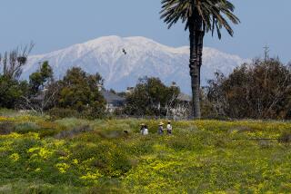
The storm will drop a foot or more of snow at the top of Mt. Palomar, nearly a foot on Mt. Laguna, and 4 to 6 inches between the 3,000- and 5,000-foot level, affecting Julian, Pine Valley and the Alpine area of Interstate 8, says the National Weather Service.
Some ski resorts in the San Bernardino Mountains could receive as much as 2 feet of snow.
Those who’ll spend time in the car this holiday should plan to leave early and prepare for potentially significant delays on the road, forecasters say.
The American Automobile Assn. is predicting that Thanksgiving traffic across the nation will be the worst since 2005, with more than 49 million people on the road. AAA estimates that from 5 to 7 p.m. Wednesday will be the worst time to be behind the wheel in Los Angeles, with delays up to 3.5 times the average.
Those traveling by air probably won’t escape delays, either.
A record 2.52 million passengers are expected to pass through Los Angeles International Airport during the 11-day Thanksgiving travel period, according to the airport. Officials are urging travelers to factor in additional time for traffic congestion and plan to arrive early for their flights.
The storm is expected to dump 1 to 2 inches of rain in the coast and valleys, and up to 3 inches in the foothills and lower elevations in the mountains. Snow levels are expected to plummet from 4,000 feet on Wednesday to about 2,500 feet by Thursday. This means the 5 Freeway over the Grapevine, along with Highway 14 and Highway 33, will probably see a significant dusting of powder — and with it, the seemingly inevitable traffic snarl, Sweet said.
A foot or more of snow is possible at elevations as low as 2,500 feet, including the eastern San Gabriel Mountains, which could see up to 2 feet of powder this week.
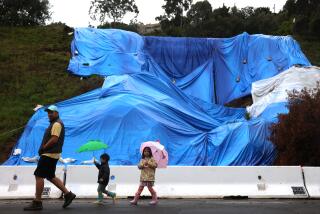
The storm also brings the potential for debris flows for burn-scarred areas, including the San Fernando Valley region affected by the Saddleridge fire and the Easy fire burn area in Simi Valley. There’s a slight chance of thunderstorms Thursday, which could bring brief pockets of heavy rain. If that happens, meteorologists will be watching burn areas closely, as sustained precipitation could cause mudslides, according to the weather service.
Early forecasts show the rain tapering off Friday before another potentially strong storm moves into the region late in the weekend.
The sustained rain may be bad news for travelers, but forecasters say it could help pull the state out of dry conditions that help fuel wildfires. A report released earlier this month from the National Interagency Fire Center predicted a late start to the rainy season and a higher-than-normal chance for large fires in Southern California through December. Experts, however, say a good soaking across the state could dampen the fire season considerably.
“We’re hoping it positively affects the fuel moisture in the plants on our hillsides and improves our fire weather situation a bit,” Sweet said.
In the Sierras, the snowstorm will begin in earnest Tuesday and last through the holiday. Some parts of the Sierras could see 3 feet of snow by Thursday. Tuesday and Wednesday will be the most dangerous period, with snow tapering off by Friday.
“Travel could be very difficult to impossible,” the service said. “If you are traveling for the Thanksgiving holiday ... finish your travels by midday Tuesday.”
Times staff writer Laura Newberry contributed to this report.
More to Read
Sign up for Essential California
The most important California stories and recommendations in your inbox every morning.
You may occasionally receive promotional content from the Los Angeles Times.
