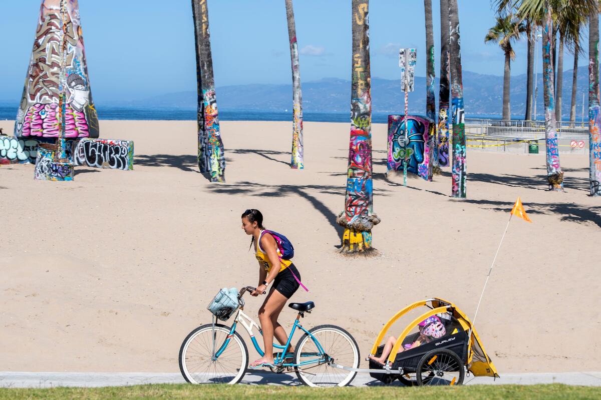
8 breezy bike trails that teach you about L.A. as you ride
Whether you’re a native Angeleno or new to the city, one of the best ways to get to know Los Angeles is on two wheels. Really. While cars may run this town (there are 8 million of them registered in L.A. County alone — sheesh), cyclists of all skill levels can still find hundreds of miles of bike trails, many of which feature iconic attractions.
Planning your weekend?
Stay up to date on the best things to do, see and eat in L.A.
On this list are beach trails, river trails and an urban trail that takes you past vibrant Mexican American art. All can teach you a bit about Southern California as you ride, especially if you know what to look for. One reminder: Do pull off the bike path if you’re snapping photos of the sights. And friends don’t let friends ride while taking selfies.
Note: The trail end points are from TrailLink.com, part of the Rails-to-Trails Conservancy, with the exception of the Eastside Mural Ride.

Eastside Mural Ride
Your SoCal lesson: Erick Huerta, a board member of People for Mobility Justice, says one of the most outstanding murals you’ll see on this ride is “The Wall That Speaks, Sings and Shouts” on the side of the recreation center in Salazar Park. Painted by Chicano artist Paul Botello, who grew up in East L.A., the 73-foot-long work of art often is described as an energetic expression of movement and emotion in brilliant ranges of color.
Trail end points: Mariachi Plaza and the East L.A. Civic Center
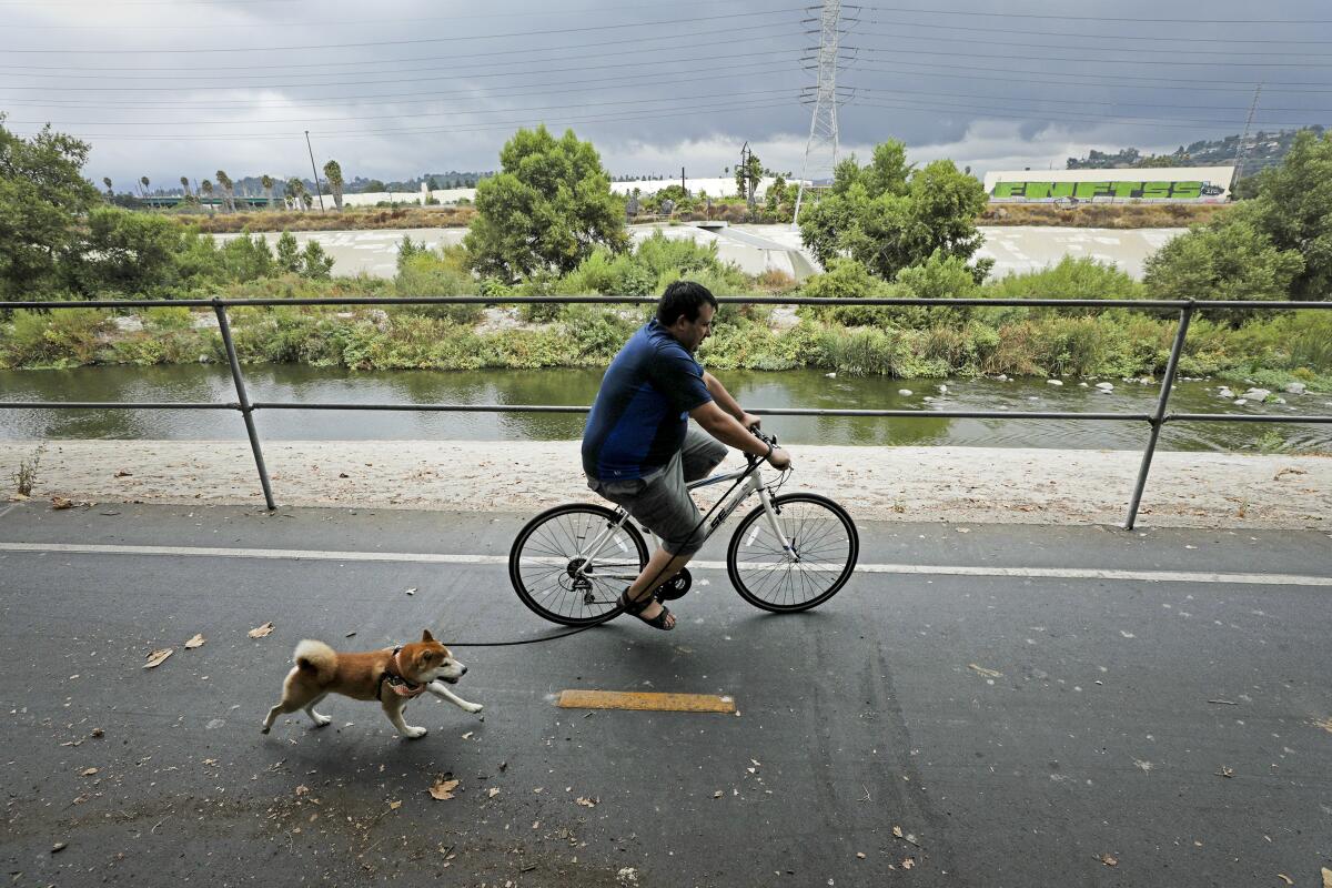
L.A. River Bikeway
For a longer stretch of pedaling on the L.A. River, you can ride 29.1 miles from Vernon to Long Beach. This section starts at the Shoreline Bikepath at the river’s mouth in Long Beach, goes through industrial areas southeast of downtown L.A. and ends at South Atlantic Boulevard in Vernon.
Your SoCal lesson: What could be more L.A. than a view of the Hollywood sign? Originally spelling out “Hollywoodland” when it was built in 1923, the sign was supposed to be a temporary advertisement for a new housing development. Today you can see the beloved landmark a number of different ways, but on this bike path, you’ll catch a glimpse of it to the west as you ride along the river.
Trail end points: Riverside Drive at the 134 Freeway (Los Angeles) and Shoreline Aquatic Park Bike Trail on Golden Shore (Long Beach)
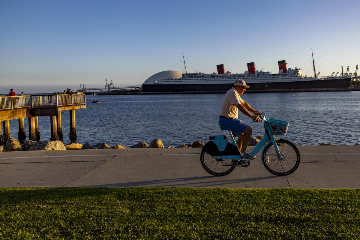
Long Beach Shoreline Bike Path
It is 7.3 miles long and heads south from its connection with the L.A. River Bikeway. The path goes from the tip of the breakwater opposite Island Grissom at the Long Beach Shoreline Marina to Long Beach’s Belmont Shore neighborhood.
Your SoCal lesson: Look for the 72 giant cranes in the Port of Long Beach, a huge facility that covers 3,200 acres of land and spans 25 miles of waterfront. Every year, it handles more than 8 million 20-foot container units. The seaport generates approximately $100 billion per year in trade and supports more than a million jobs in Southern California.
Trail end points: Long Beach Shoreline Marina and 54th Place and East Ocean Boulevard.
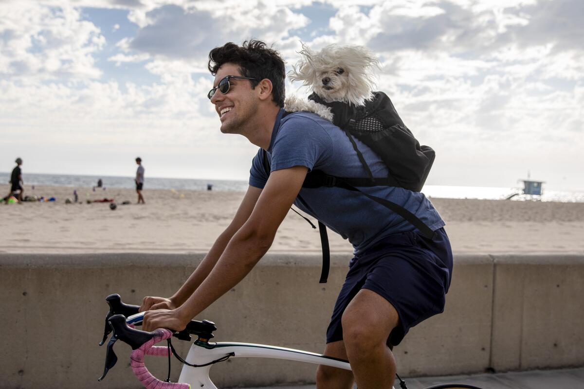
The Strand (a.k.a. Marvin Braude Bike Trail)
Also known as the Marvin Braude Bike Trail, it starts at Will Rogers State Beach in the north and continues all the way to Torrance Beach while passing through Santa Monica, Venice, Marina del Rey, Manhattan Beach and Redondo Beach.
Your SoCal lesson: If you’re a fan of bulging biceps and rippling six-packs, check out Muscle Beach in Venice, once the hangout of bodybuilders Lou Ferrigno and former California Gov. Arnold Schwarzenegger. And don’t forget to take a moment to admire Santa Monica’s pier, where you can ride the Ferris wheel, take a spin on a nearly century-old carousel, go fishing off the west end or cool off with a snow cone. If you need a quick cool down, you could even go for a swim.
Trail end points: Will Rogers State Beach on Pacific Coast Hwy (Los Angeles) and Via Riviera and Paseo de la Playa (Torrance)
Ballona Creek Bike Path
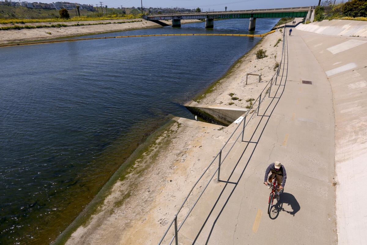
Your SoCal lesson: Here you can learn about SoCal’s native habitats as you pedal. The route is a winner for birdwatchers, who might spot one of 300 species, depending on the season, in the Ballona Wetlands. According to the Audubon Society, species range from Belding’s savannah sparrows to California least terns to great blue herons.
In addition to birds, there are lots of lovely wildflowers and native critters. You might see a rare Crotch’s bumblebee or a San Diego legless lizard. Just watch out for the Southern Pacific rattlesnake.
Trail end points: National Boulevard and Pacific Ocean
Santa Ana River Trail
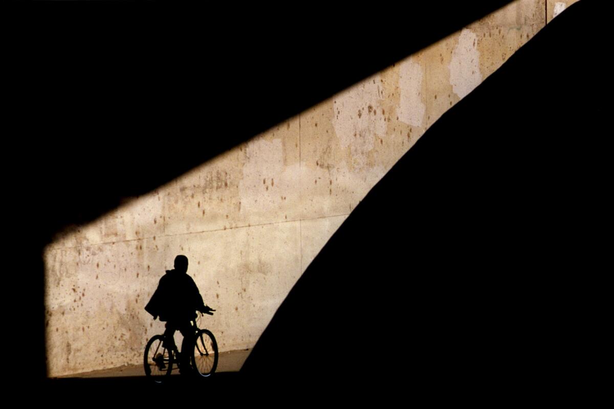
As it exists now, though, the route along the Santa Ana River offers 30 miles of concrete and asphalt that stretches from the Orange/Riverside County line to Huntington Beach, with lots of parks along the way. It is part of the OC Loop, which connects with the San Gabriel River Path. It also links up with the Huntington Beach Bike Trail.
Your SoCal lesson: When you make your way to Anaheim, about 15 miles northwest of Huntington Beach, you’ll see a giant “A.” That, of course, marks Angel Stadium. It opened nearly 60 years ago and is the fourth-oldest active Major League Baseball venue in the country after Boston’s Fenway Park, Chicago’s Wrigley Field and Dodger Stadium. It also was home to the Los Angeles Rams of the NFL from 1980 to 1994.
Trail end points: Huntington Beach Bicycle Trail at Pacific Coast Highway (Huntington Beach) and South Waterman Avenue (San Bernardino)
Huntington Beach Bike Trail
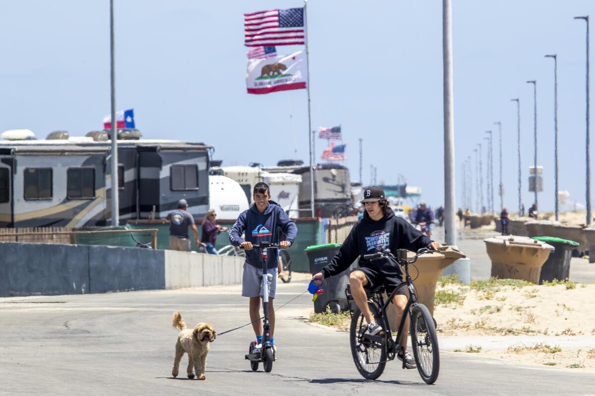
Your SoCal lesson: Check out the statue of Hawaiian legend Duke Kahanamoku, who is credited with popularizing the sport of surfing in California in the 1920s. It’s just a few steps off the beach at the intersection of Main Street and Pacific Coast Highway, across from the Huntington Beach Pier.
Trail end points: Santa Ana River Trail at Pacific Coast Highway and Warner Avenue and North Pacific Avenue.
San Fernando Road Bike Path
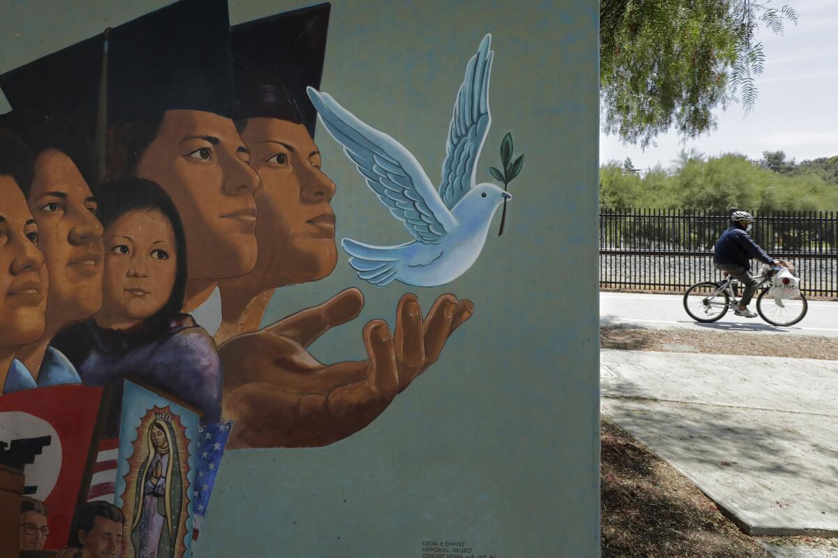
Your SoCal lesson: Along the path, you’ll see a mural by artist Ignacio Gomez that was created to remember Cesar Chavez. San Fernando was the first city in the nation to establish a holiday honoring Chavez, the labor leader and civil rights activist who sought better working conditions for thousands of farmworkers.
Trail end points: Roxford Street and San Fernando Road, Sylmar, and Branford Street and San Fernando Road, Pacoima
Sign up for The Wild
We’ll help you find the best places to hike, bike and run, as well as the perfect silent spots for meditation and yoga.
You may occasionally receive promotional content from the Los Angeles Times.


