Indonesia’s tsunami warning system failed. California’s could too
Along the California coast and across the world, dozens of deep-sea ocean sensors are a first line of defense that warns officials when a devastating tsunami is coming.
When an earthquake strikes, the sensors capture the movement of the ocean waters, giving authorities precious time to alert residents to move to higher ground.
But the destructive tsunami that hit Indonesia on Friday highlights a critical flaw in the systems.
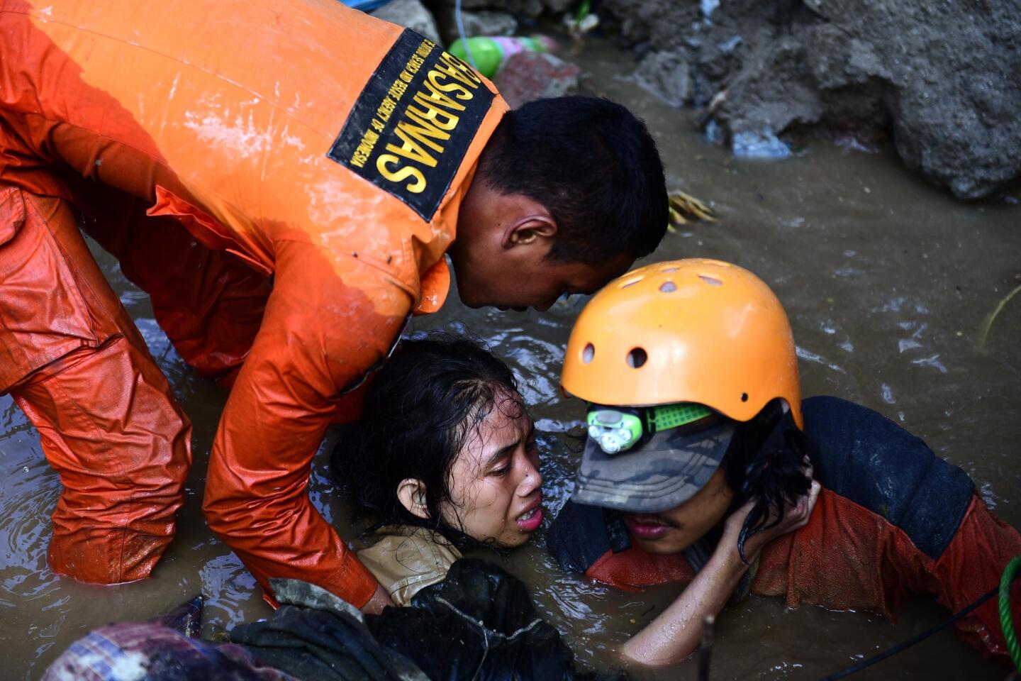
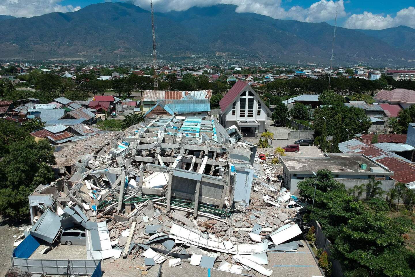
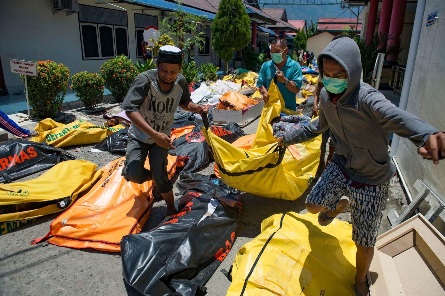
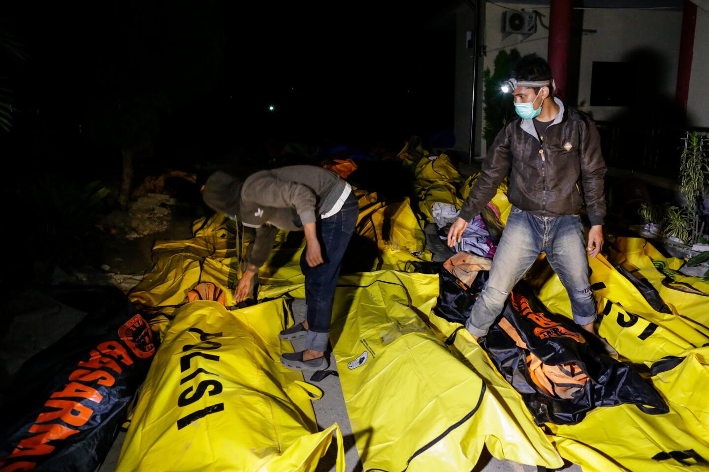
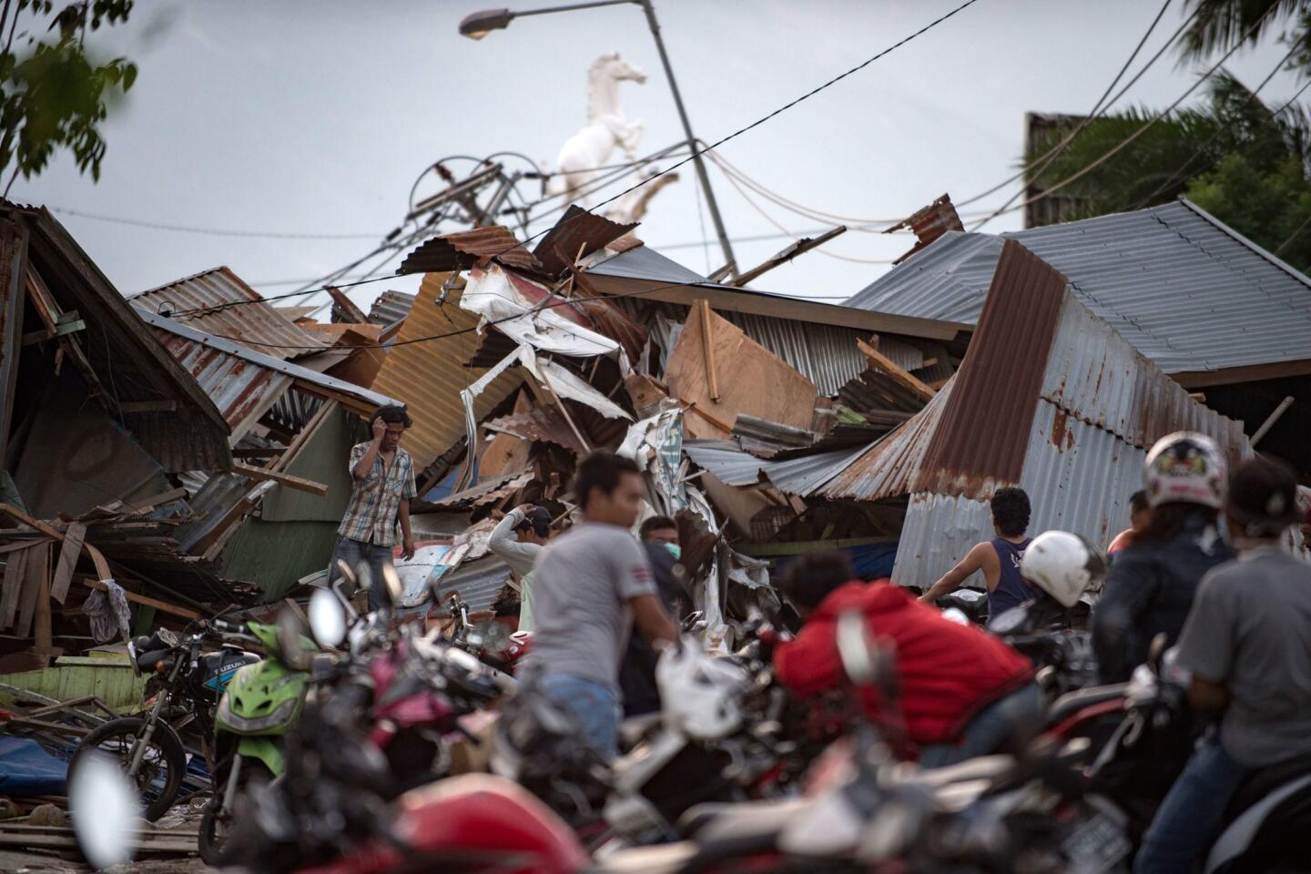
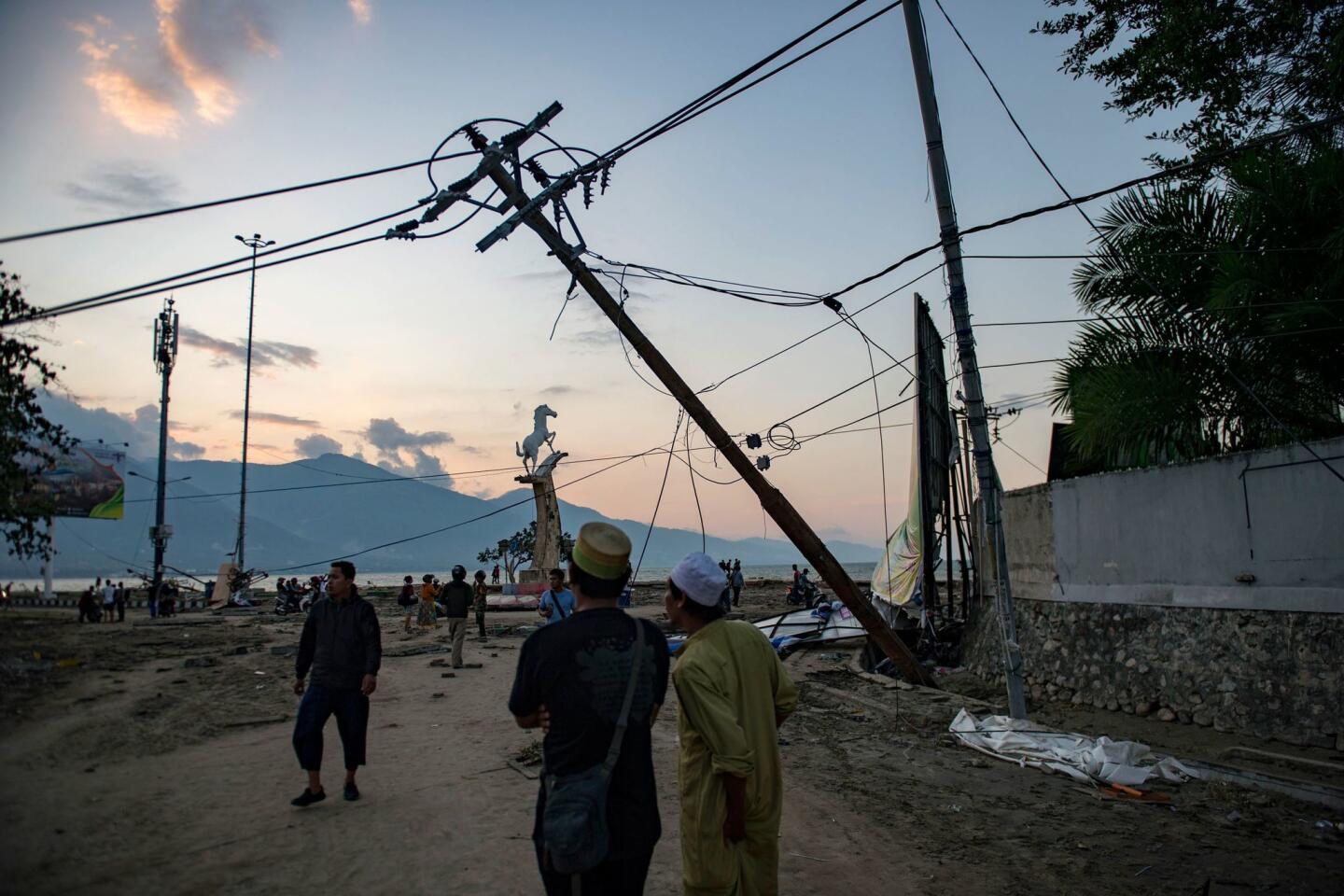
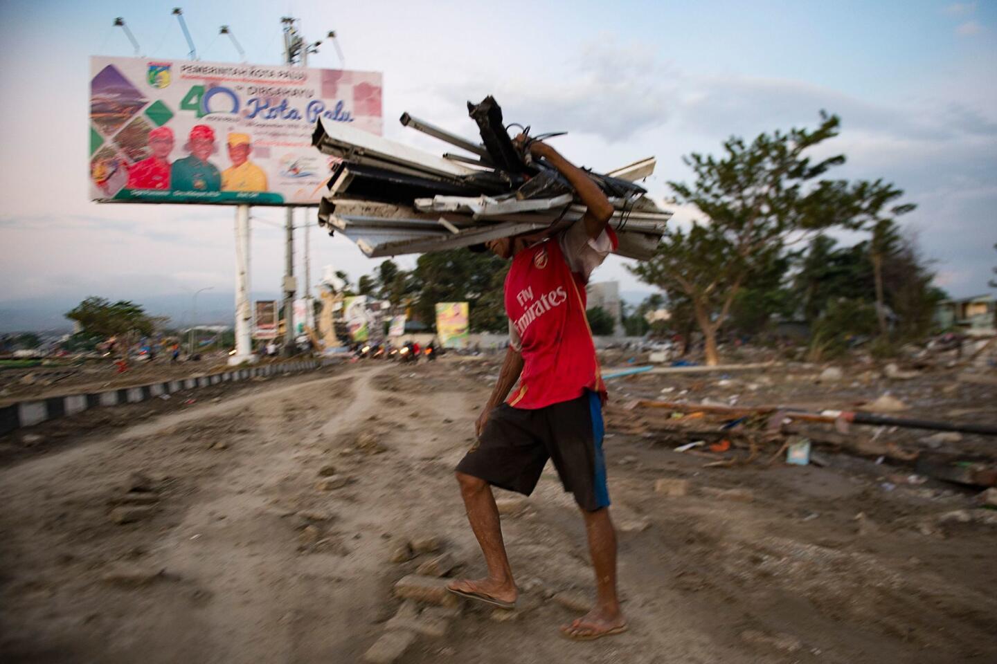
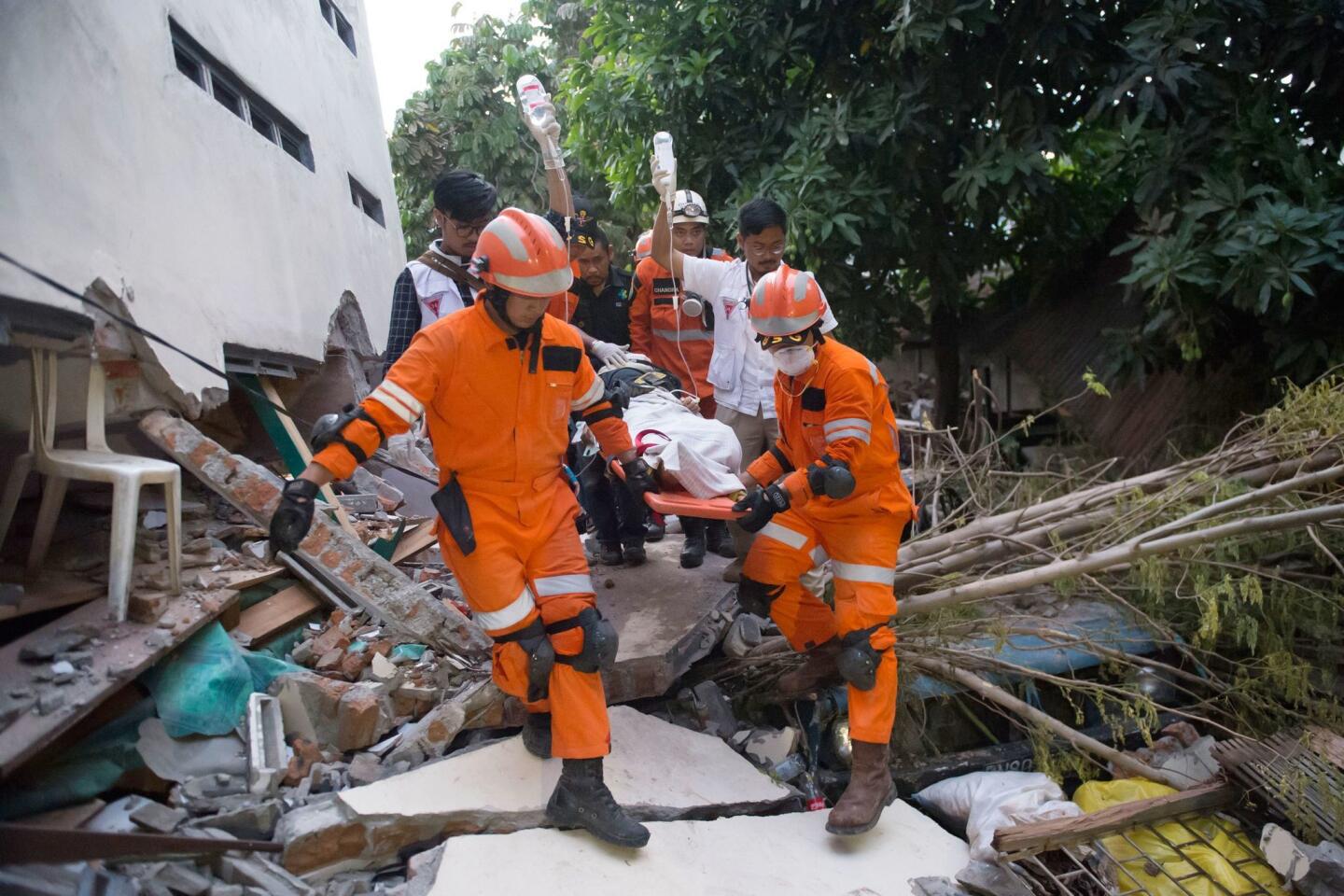
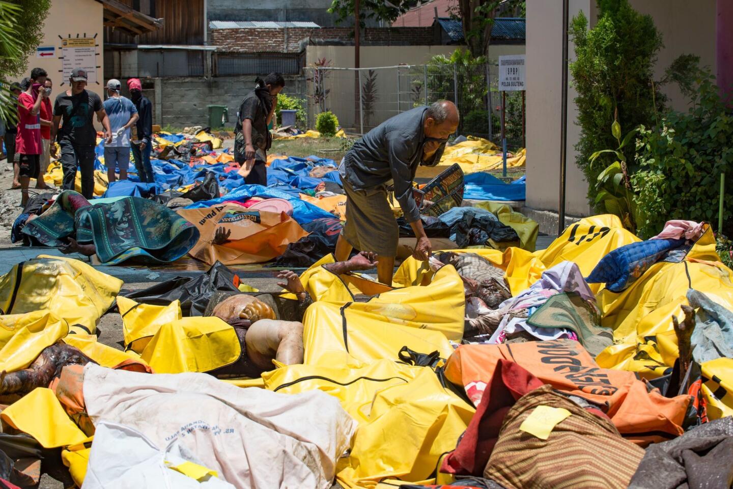
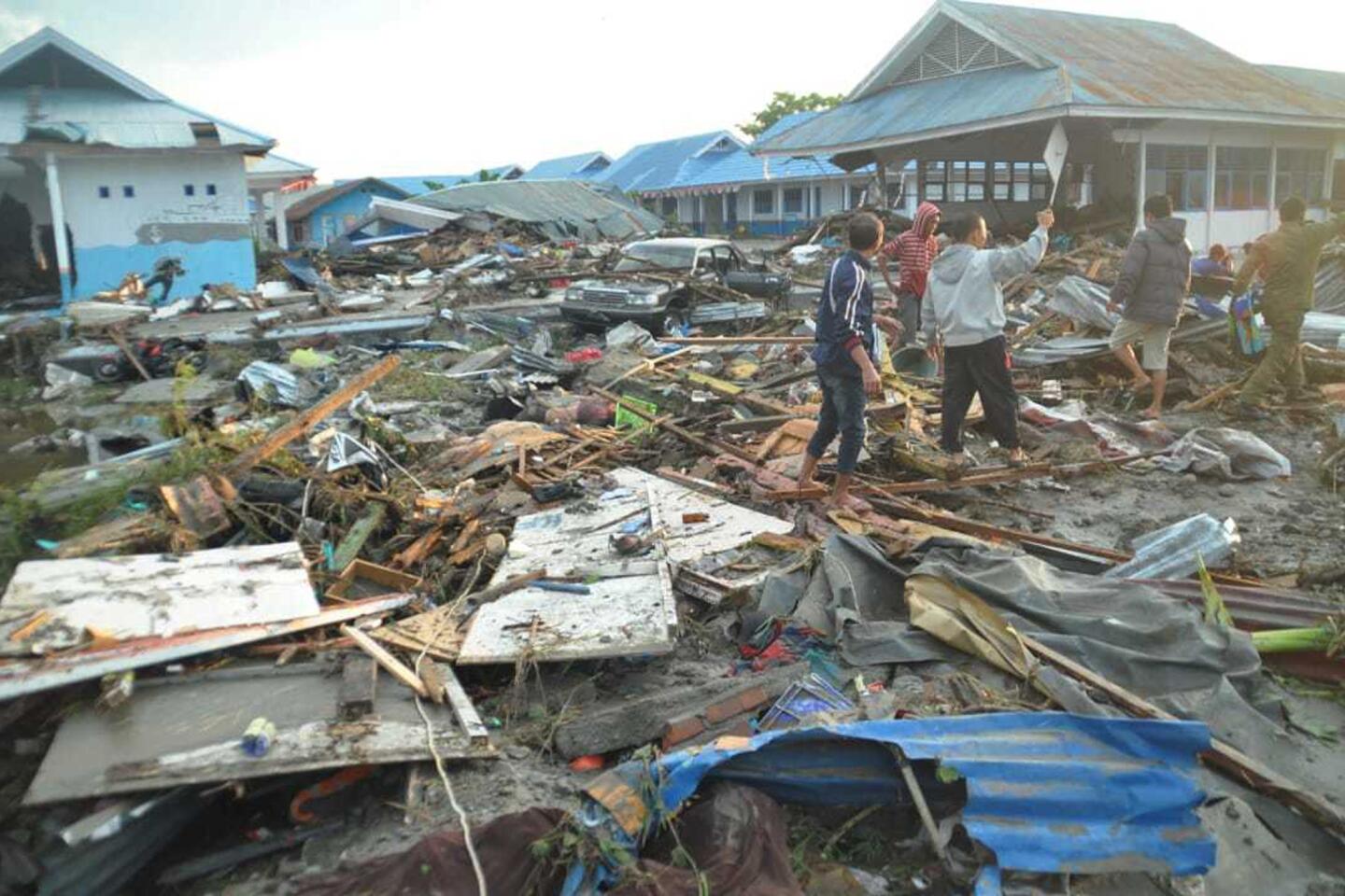
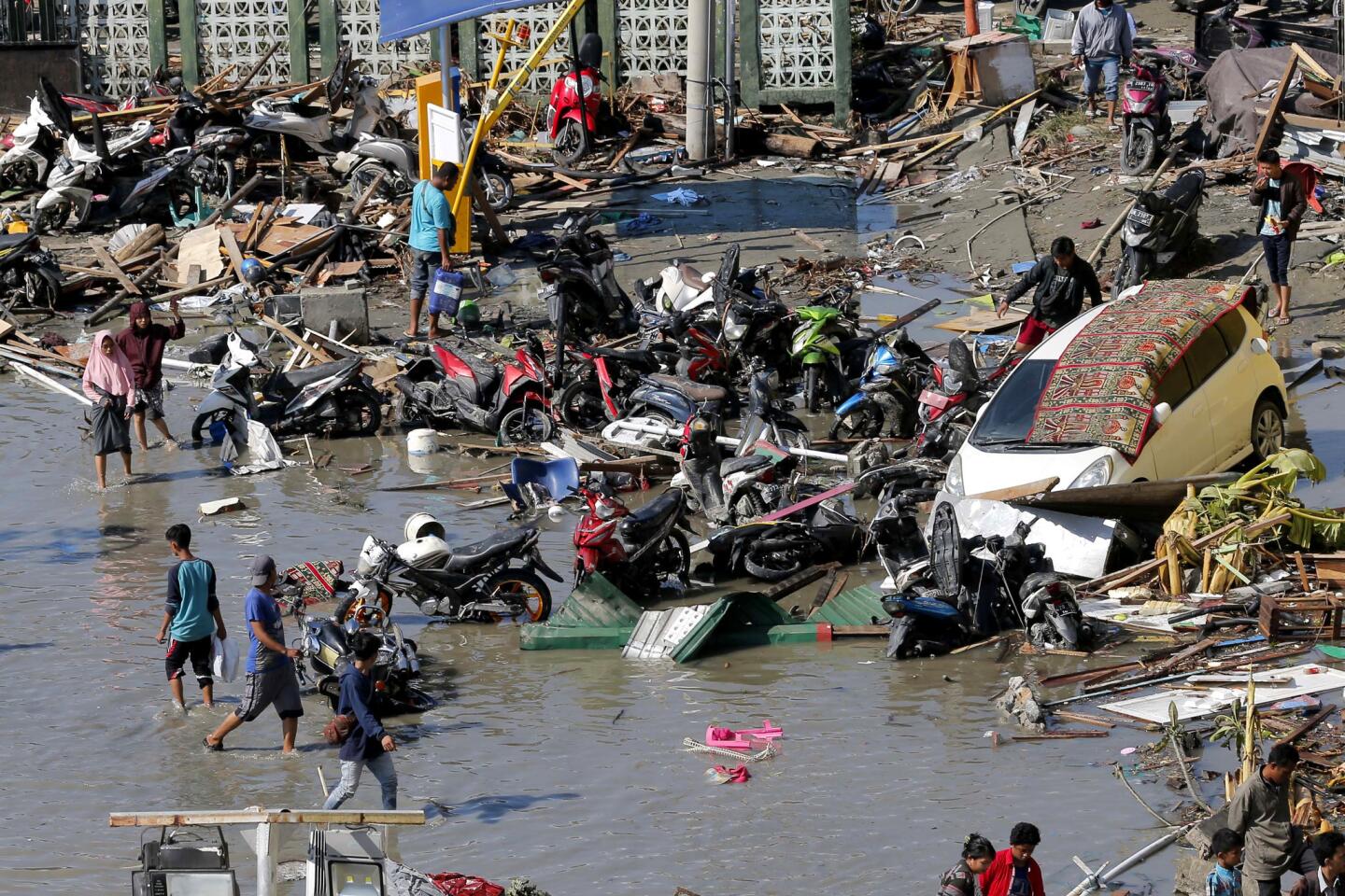
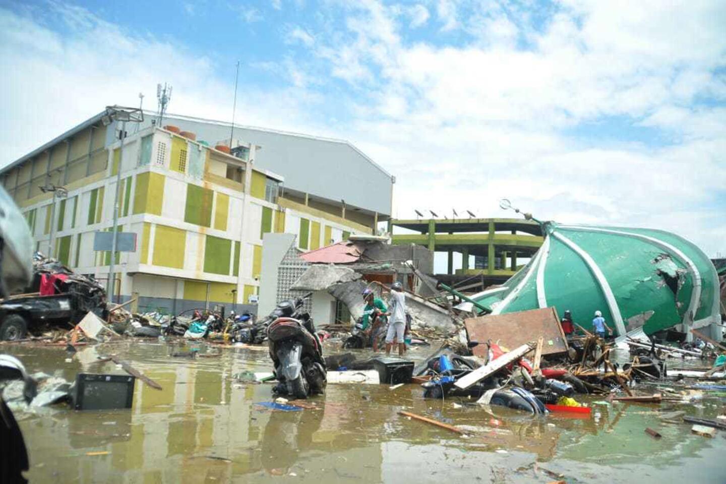
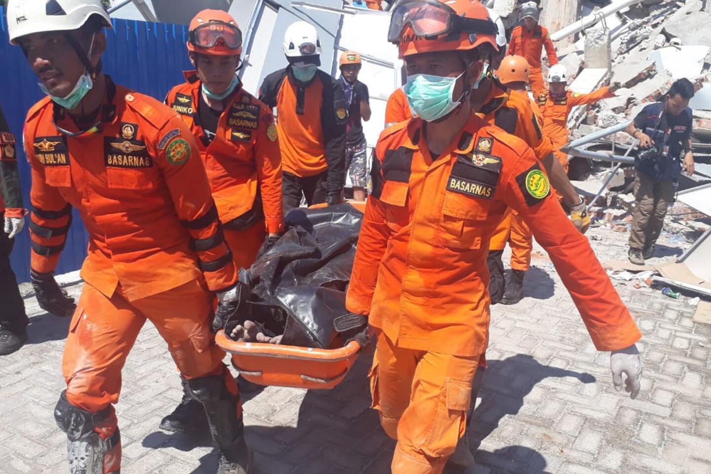
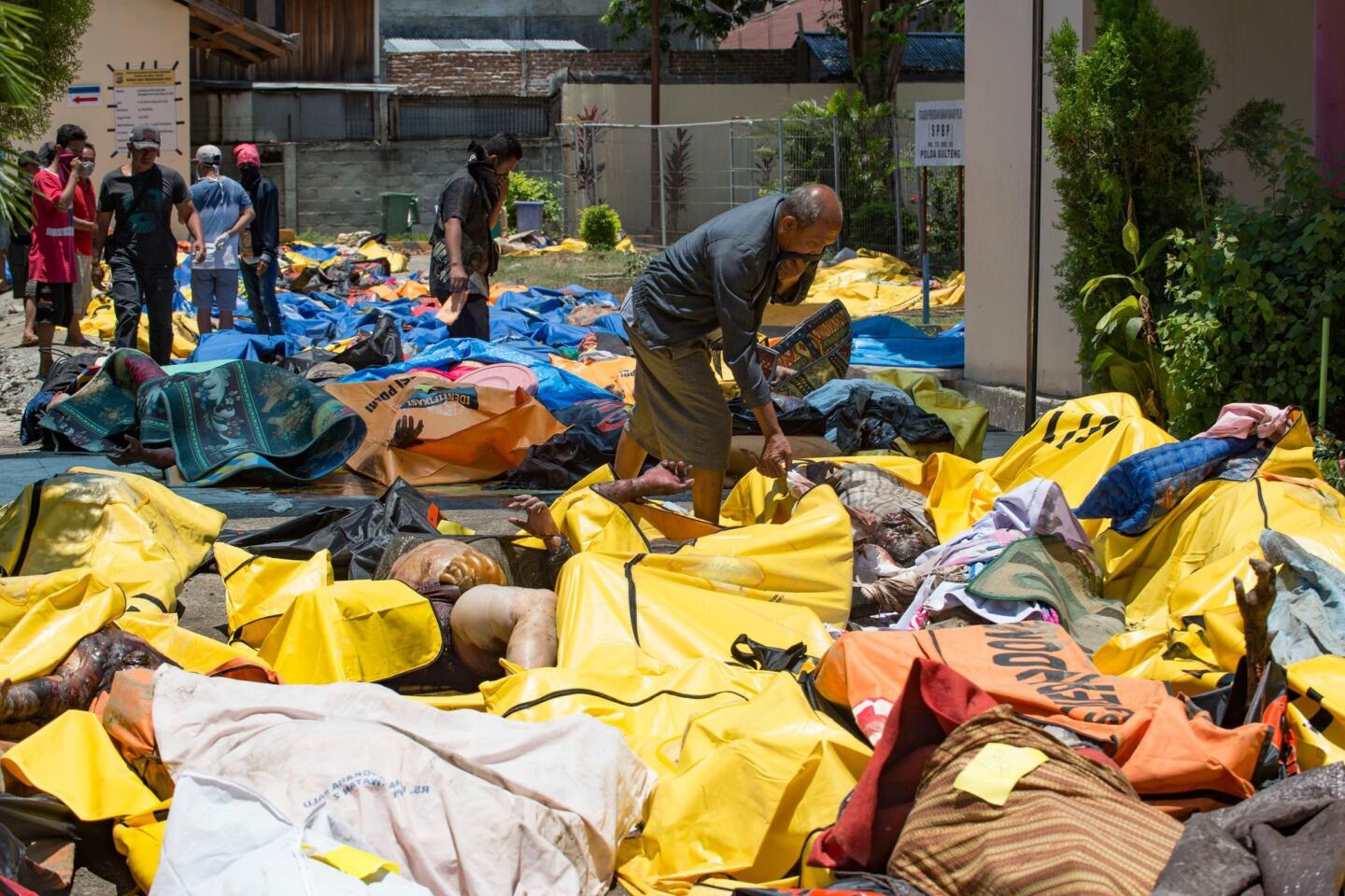
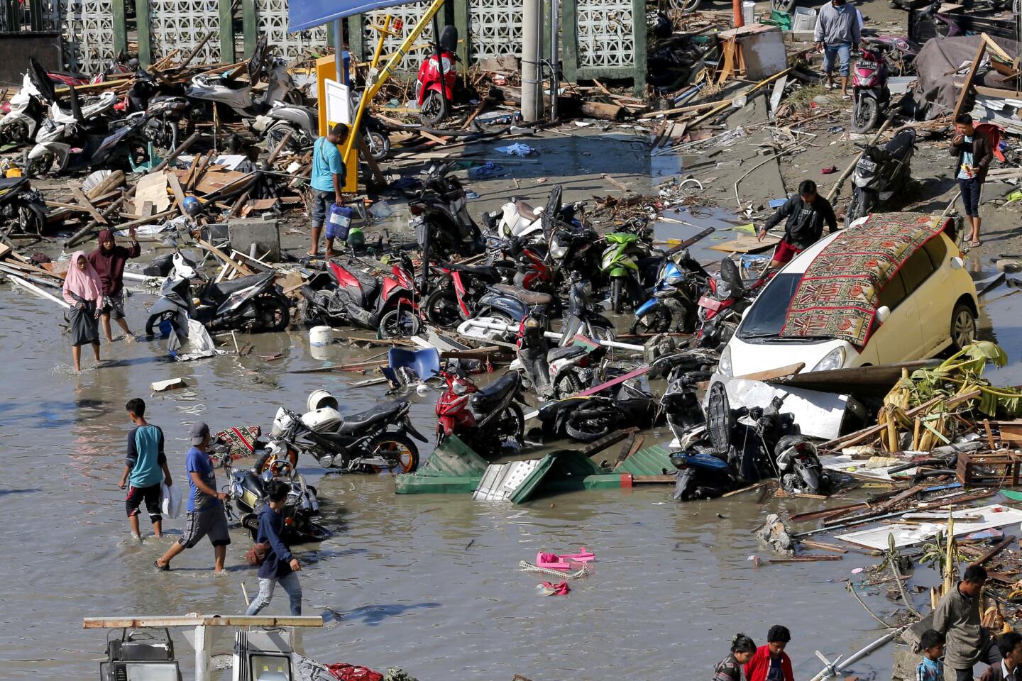
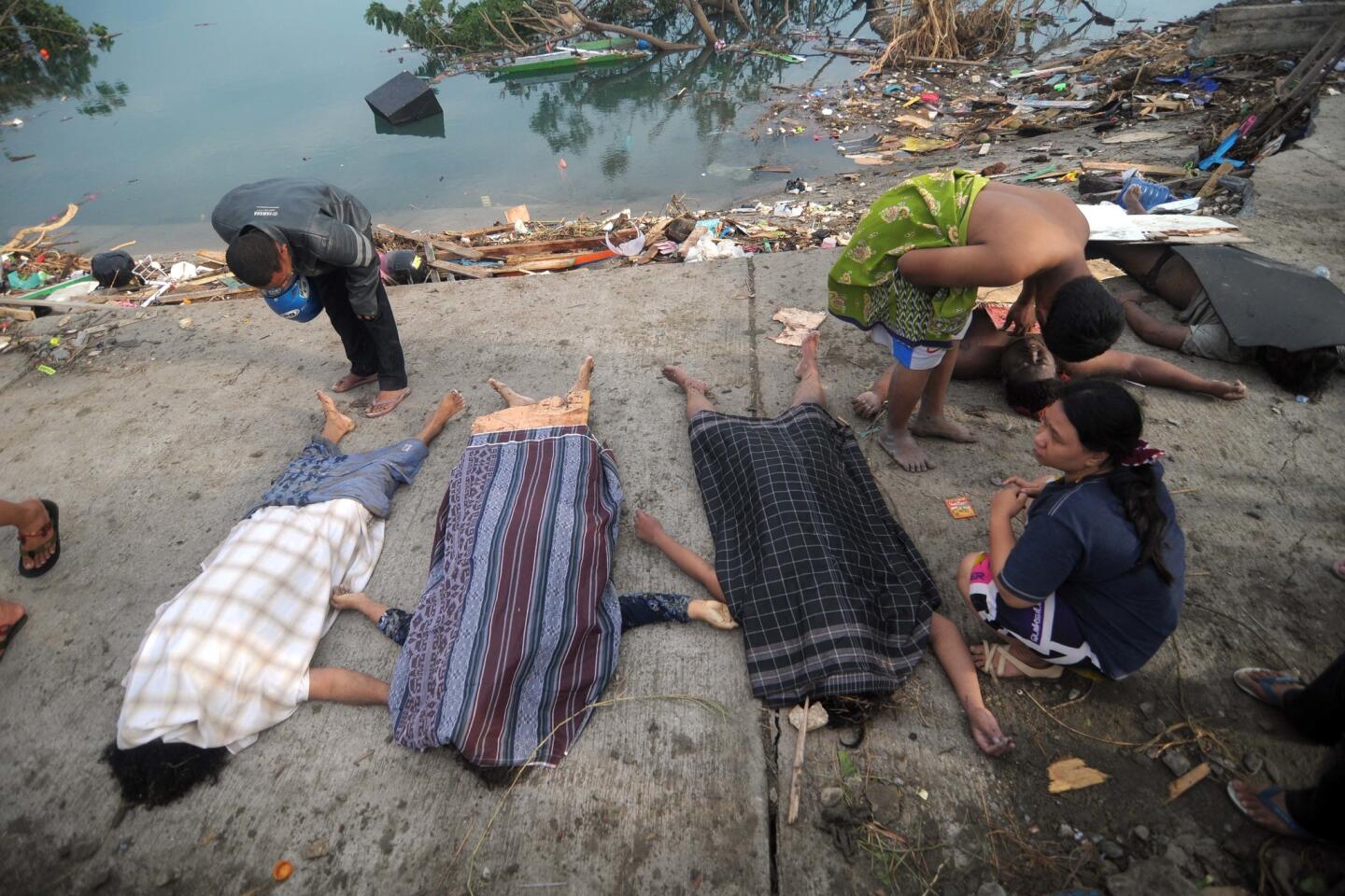
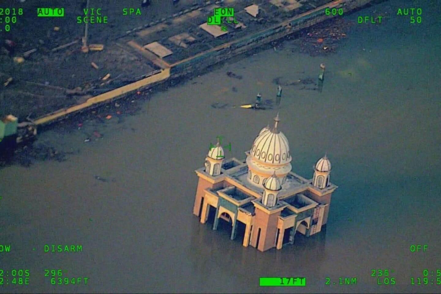
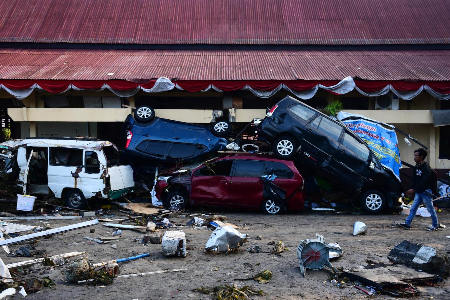
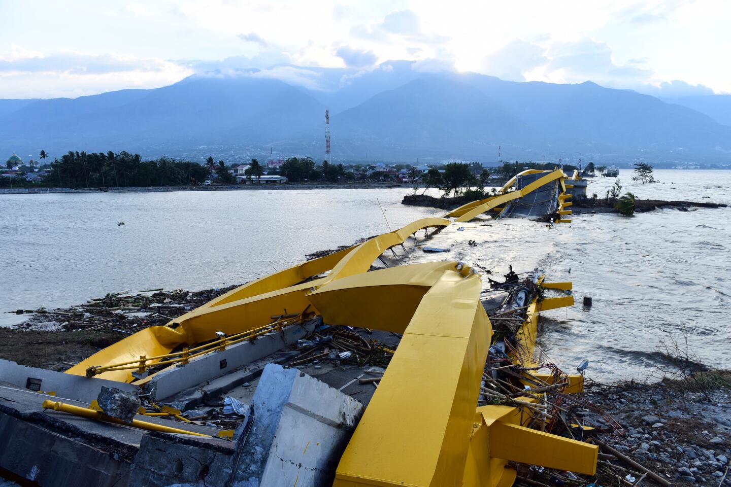
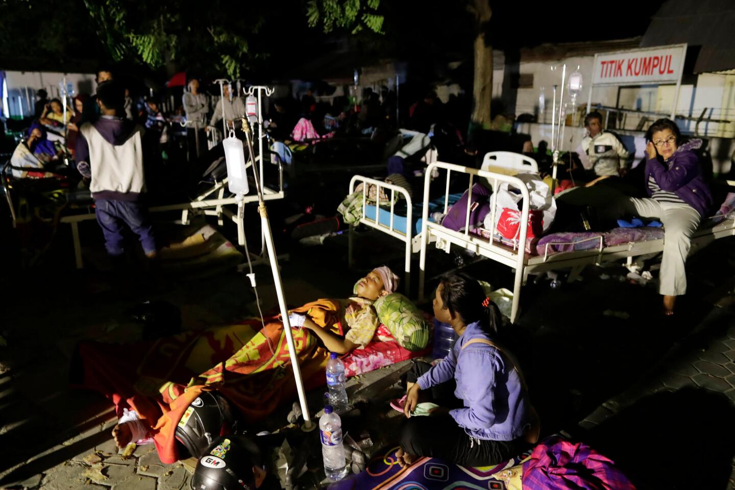
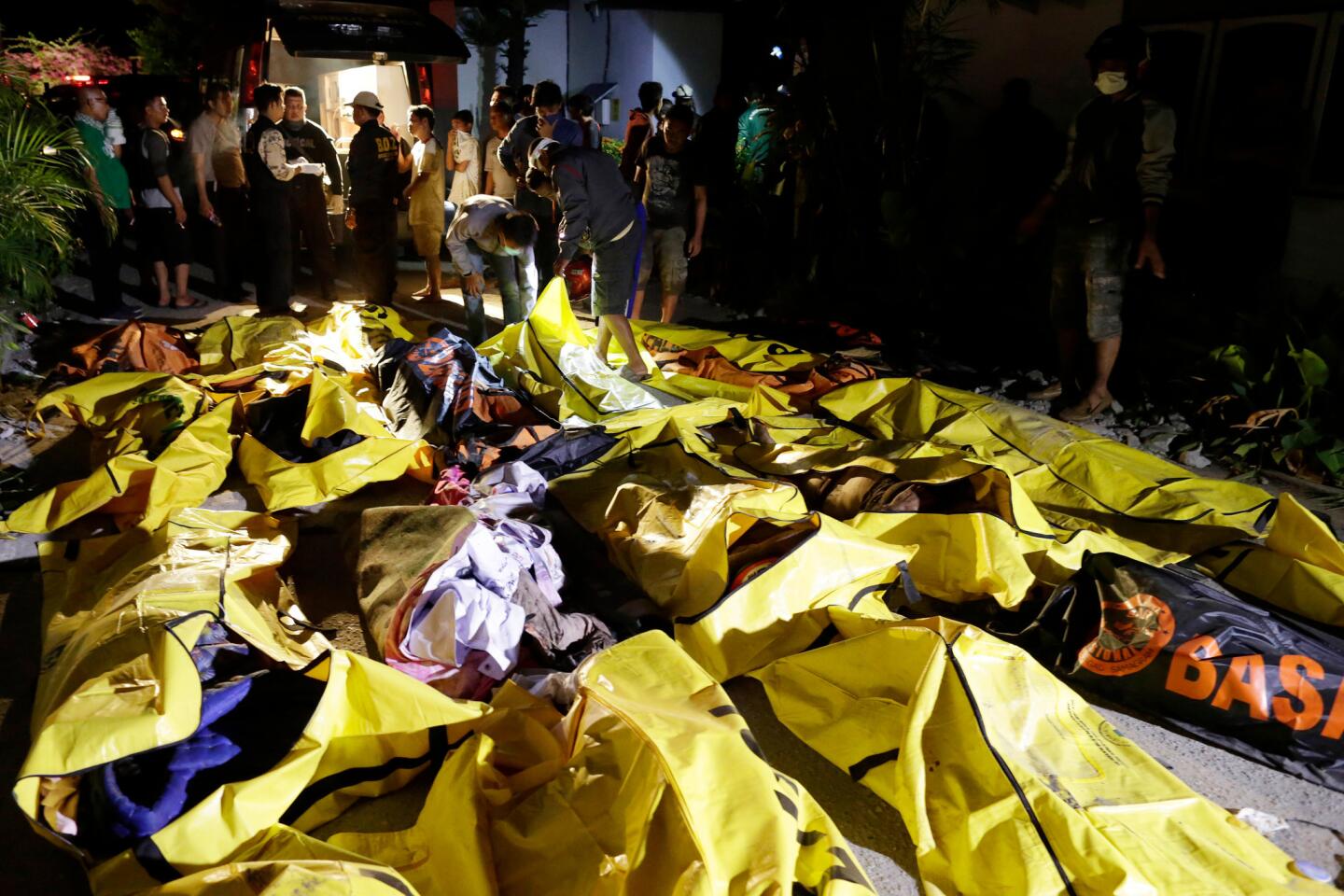
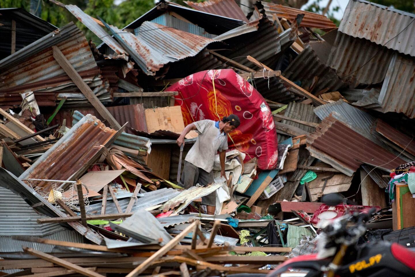
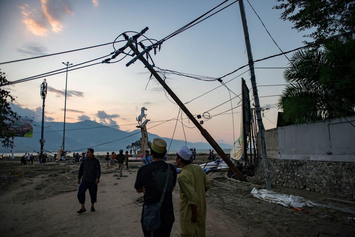
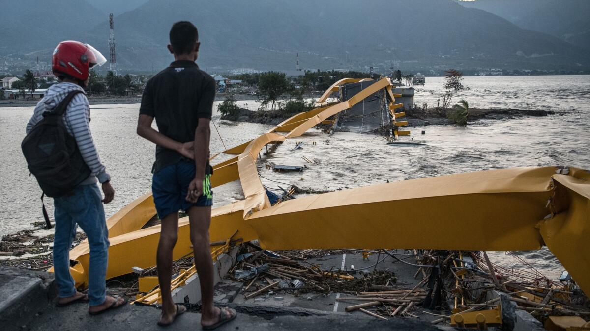
If a big quake strikes too close to shore, it won’t be detected by those deep-sea sensors, and the wave can arrive before major evacuations occur. That’s what happened on the Indonesian island of Sulawesi, when a magnitude-7.5 earthquake hit just north of a narrow bay, sending waves as tall as 20 feet straight into Palu, a town where at least 1,200 people were killed.
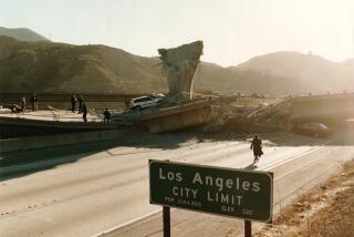
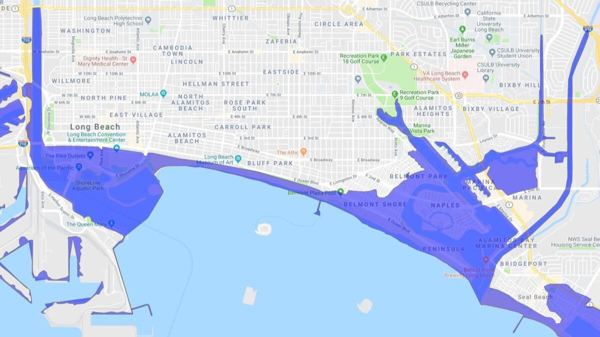
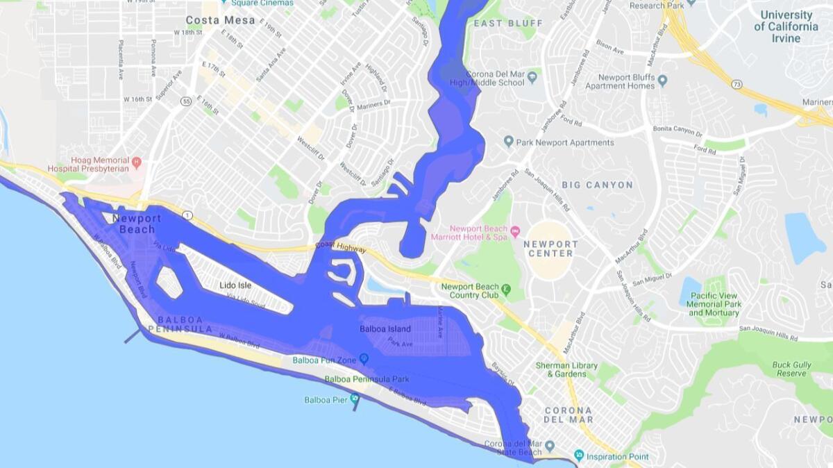
Scientists said California faces similar vulnerabilities. Low-lying stretches of the coast are susceptible to damage from a tsunami, and there has been a push in recent years to improve safety protocols.
In Southern California, an earthquake could trigger an underwater avalanche in the Santa Monica Bay, producing a tsunami that could inundate low-lying areas of Santa Monica and the South Bay towns of Manhattan Beach, Hermosa Beach and Redondo Beach, said Costas Synolakis, a USC civil and environmental engineering professor and tsunami expert.
“This is exactly the scenario we are afraid of in Southern California,” Synolakis said, “where we are going to get an on-land earthquake … and the biggest shaking triggers a submarine landslide. … This is kind of a nightmare ... that’s hard to prepare against.”
In Los Angeles County, a locally generated tsunami could bring water as high as 11 feet in Redondo Beach, 8 feet at the ports of Los Angeles and Long Beach, 7 feet in Manhattan Beach and 5 feet in Marina del Rey. There is evidence that an underwater landslide off the Palos Verdes peninsula occurred about 7,500 years ago, and according to calculations, was capable of generating a 20-foot-high tsunami.
With only minutes between the shaking and the tsunami, it’s possible no official early warning may come. It was only about 10 minutes between the earthquake and the first wave that washed across Palu, said Caltech seismology professor Pablo Ampuero. When a quake hits further out in the ocean, officials can have hours to evacuate before the waves hit land. But on Friday, they had only minutes.
And when a tsunami warning was issued by the Indonesian government, the public may not have received the alert, Ampuero said, because the quake knocked out electricity and communications systems.
It is a scenario that could be repeated in Southern California.
During the great 2011 Japan tsunami, some of the first detailed alerts underestimated the size of the tsunami to be lower than the protective sea walls on the coast. Then the communications were cut off, leaving the public with a false sense of security.
While tsunamis get less attention than earthquakes in California, officials have warned the state needs to be better prepared — and to better understand the deadly risks. In 1964, 11 people died when waves slammed into Crescent City, inundating the downtown area. In 2011, hours of warning enabled an effective evacuation of Crescent City, although one man, taking photographs of the tsunami at the mouth of Klamath River, died after being swept to sea.
Tsunami science has improved considerably since the 1980s, thanks to a new generation of detection equipment. Nations rallied to fill in gaps in the global network after the 2004 Sumatra tsunami exposed shortfalls, including the lack of a network in the Indian Ocean.
Some news reports after Friday’s quake initially focused on the state of disrepair of Indonesia’s network of nearly two dozen deep-sea sensors as a possible factor in the loss of life. The German-funded effort never produced a working system, Synolakis said.
Synolakis and others, however, noted that even having a working deep-sea sensor network of the kind used by the United States and other nations — known as DART — may not have helped. Deep sea sensors are more intended to detect tsunamis that are farther from its destination, not a matter of minutes away from the shoreline.
“The DARTs are really wonderful for judging a tsunami and figuring out how it’s going to be on the far side of the ocean,” said Gerard Fryer, former geophysicist at the Pacific Tsunami Warning Center in Hawaii. “But for warning of a local tsunami, they’re just not enough. They might help if you’re lucky if you’ve got one in just the right place. But they probably won’t.”
Giving warning of a nearby tsunami would probably require a new technological solution. One idea, Fryer said, is blanketing the seafloor of an area particularly at risk of tsunamis with underwater microphones, and then develop a computer program to send out the alerts. But, he said, “that’s not something we can do off the shelf right now.”
But there are things that could have been done to better prepare Palu for what happened. For one, Palu has had a history of dealing with damaging tsunamis. A magnitude-7.8 earthquake led to a tsunami that killed 200 people in 1968, Fryer said, and there were deaths from tsunamis generated by a magnitude-7.6 earthquake in 1938 and a magnitude-6.3 earthquake in 1927.
A key reason lies in Palu’s geography. Sitting at the end of a narrow, finger-shaped bay is one of the worst locations to be in if a tsunami enters the inlet. Water rushing into a bay that gets progressively shallower can allow it to push on to land.
In fact, tsunami translates from Japanese literally as “harbor wave,” as the towns known to be clobbered by tsunamis were at the long end of narrow harbors on the northeastern coast of Japan’s Honshu island, Fryer said. The same dynamic led to significant damage in Port Alberni, at the end of the Alberni Inlet, on Vancouver Island in the great 1964 Alaska earthquake.
“These bays, they tend to funnel the energy. It’s almost like a bull’s-eye is where the city is,” Synolakis said.
Experts say it makes sense for people along the coast to seek higher ground in the event of any major quake.
“If you feel strong ground shaking and it lasts for 10 to 15 seconds or so, or maybe even less — don’t take any chances. If you’re in a coastal area or along the beach, move uphill and inland as quickly as possible,” said Stuart Weinstein, deputy director of the Pacific Tsunami Warning Center in Hawaii. “You can self-evacuate. The worst case is you take a fast walk for nothing; on the other hand, it could save your life.”
A general rule of thumb is to climb 50 feet to 100 feet above sea level. Sometimes, it may be better to evacuate vertically up a tall concrete or steel-frame building. A two-story wood-frame home is not high or sturdy enough, experts say.
Friday’s tsunami was seen as unusual. The largest tsunamis in the world are generated from what’s known as subduction zones, in which one tectonic plate slides underneath another. Earthquakes on subduction zones can generate vertical motion that propel tsunamis to land.
But this tsunami was generated after a quake began on land on a strike-slip fault — the same kind of fault like the San Andreas, where one block of land slides past the other horizontally. This produces horizontal movement not typically associated with large tsunamis, yet is still possible, as Friday’s disaster showed.
There are other possible explanations for why a tsunami hit Palu so hard. One is that the bay starting moving back and forth, like someone shaking a mug filled with coffee, leaving the liquid to slosh onto land, Synolakis said.
Another possibility is that the fault movement caused just one side of the bay to move, pushing water toward the other side, Synolakis said.
One thing is clear: Technology cannot be the only answer to tsunami warnings, especially in Indonesia, with its 17,000 islands.
“The shaking is your natural warning,” Ampuero said.
Eddie Bernard, a former director of the Pacific Tsunami Warning Center, expressed sympathy for his tsunami scientist colleagues in Indonesia.
“They did the best they could with the information they had available,” Bernard said. “A tragedy like this, everybody feels sad. But in time, more information will become available and maybe from this we’ll learn more about what to do next.”
Twitter: @ronlin
UPDATES:
1 a.m., Oct. 3, 2018: This article was updated with context of evidence that an underwater landslide off the Palos Verdes peninsula was triggered about 7,500 years ago and was capable of producing a 20-foot-high tsunami.
More to Read
Sign up for Essential California
The most important California stories and recommendations in your inbox every morning.
You may occasionally receive promotional content from the Los Angeles Times.
