Storm-soaked California is still in the clutches of a wet El Niño winter, but in an unexpected plot twist, La Niña could be hot on its heels.
The El Niño-La Niña Southern Oscillation, or ENSO, is a climate pattern in the tropical Pacific that can influence weather worldwide and across the Golden State, although its outcomes are never guaranteed.
Typically, El Niño is associated with warm, wet winters in Southern California, while La Niña is associated with cooler and drier conditions.
Aggressive and impactful reporting on climate change, the environment, health and science.
So far this year, El Niño has delivered on that promise. The pattern intensified in recent months, becoming what is now believed to be the fifth-strongest El Niño on record, according to an advisory the National Oceanic and Atmospheric Administration issued this week.
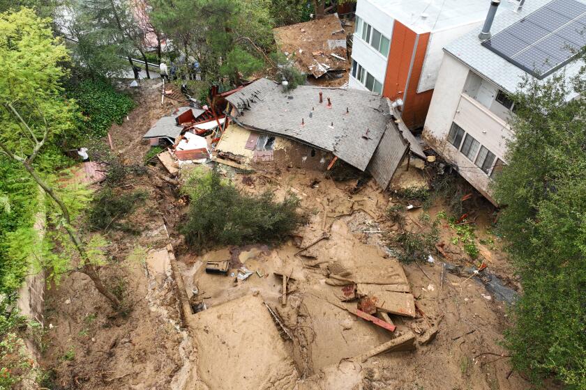
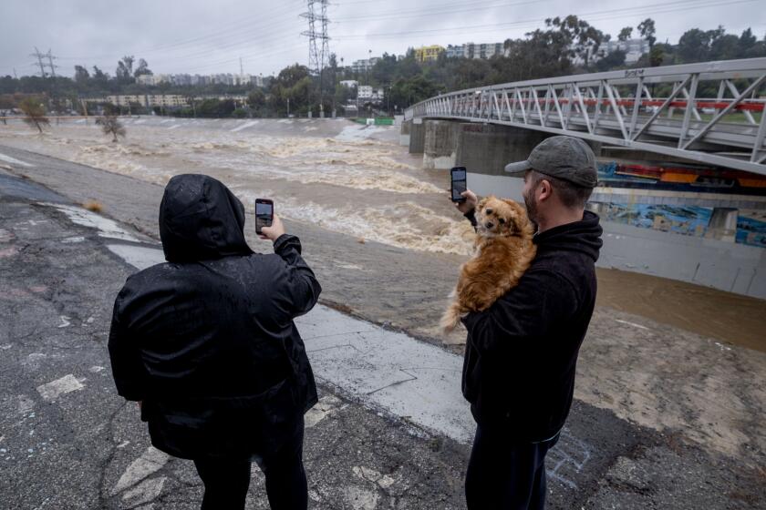
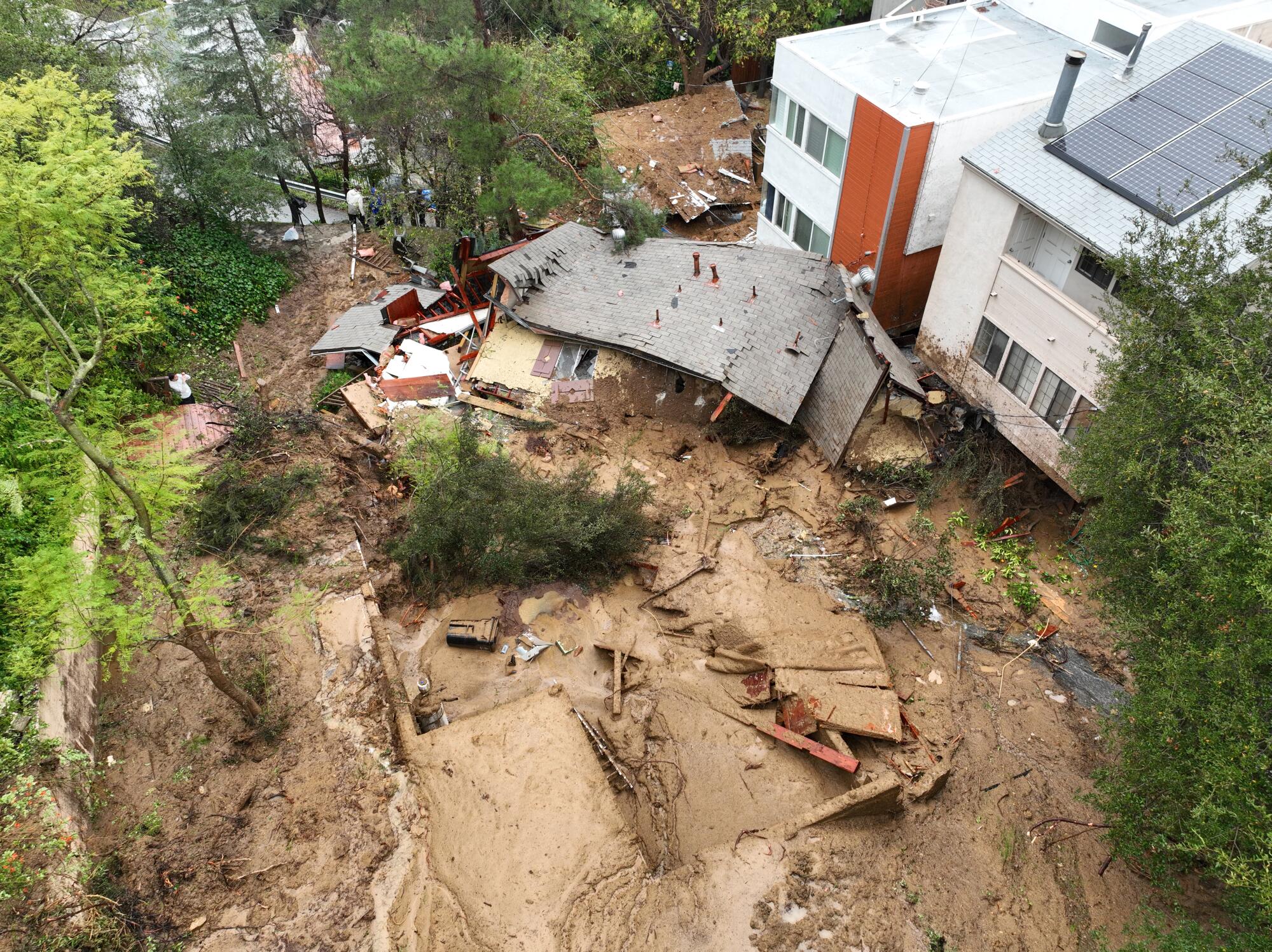
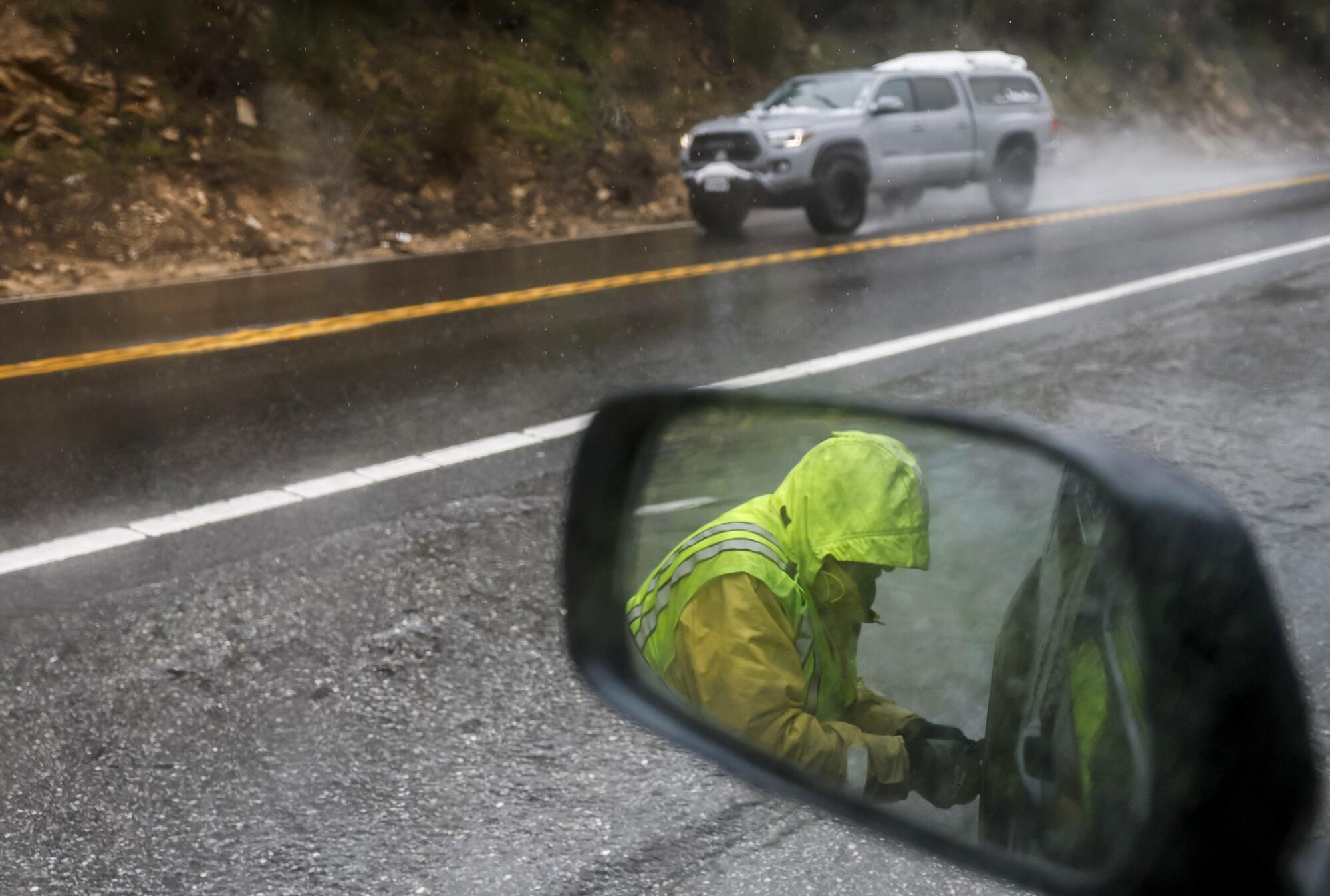
Since December, California has been pummeled by intense atmospheric rivers, including three storms that dropped record-breaking rainfall in Oxnard, San Diego and Los Angeles. The latest storm killed at least nine people and triggered landslides, debris flows and two tornadoes.
But California’s wild weather ride may not be over yet, as there is now a 55% chance La Niña could develop sometime between June and August, the advisory says. There is a 77% chance it could develop between September and November.
“We look at a lot of very state-of-the-art climate models, and there’s a lot of consensus among these models that we will potentially transition into a La Niña,” said Michelle L’Heureux, a climate scientist with NOAA’s Climate Prediction Center. “Taken all together, that’s why we issued the watch.”
La Niña tends to favor the opposite pattern of El Niño, L’Heureux said. During La Niña, the central and eastern Pacific Ocean cools, and the jet stream — the river of air that moves storms eastward across the globe — shifts toward the north. The effect essentially creates a big ridge in the north Pacific Ocean, which “can help dry things out across the southern tier of the United States, and that is inclusive of California,” she said.
L’Heureux cautioned that it is still very early in the year to make any predictions about how next winter could play out in California. ENSO is more like a “great nudger” that encourages weather systems to reoccur along a certain preferred pathway, as opposed to a guaranteed outcome.
“It’s still not a slam dunk,” she said of La Niña. “There’s still a 1 in 4 chance that this won’t happen, and seeing that progress will be important for saying something about the impacts. Because once it emerges, we can then be slightly more confident in certain impacts.”
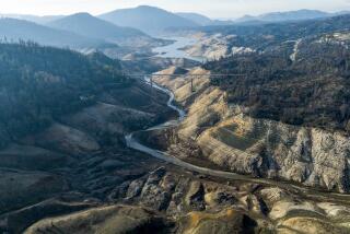
A rare three-year run of La Niña from 2020 to 2023 was a notable factor in California’s most recent drought, which saw unprecedented water restrictions, shriveling groundwater supplies and record-low levels on the Colorado River.
The storm fed off of unusually warm waters as it grew. It also reached “bomb cyclone” status as it neared California.
Should the latest forecast manifest, the West Coast could once again experience a rapid swing from precipitation to dryness — a pattern sometimes referred to as “weather whiplash” that is becoming increasingly common in a warming world.
Indeed, El Niño and La Niña are not acting alone. Climate change is also exerting more influence on conditions in California and the United States, and there is a “constant interplay” between ENSO and global warming, L’Heureux said.
“There’s always going to be the nudging provided by El Niño and La Niña, but there’s also going to be the nudging provided by climate change,” she said.
That could translate to more intense rainfall during El Niño years, she said — not unlike the conditions experienced in Los Angeles this week. On the La Niña side, that could mean more evaporation, more heat and more extreme drought due to warmer conditions.
What’s more, there are other climate patterns that can influence California’s weather that are not foreseeable this early in the year, such as the Madden-Julian Oscillation, a fast-moving phenomenon in the central tropical Pacific that develops on a sub-seasonal time scale. Random weather events, too, are not predictable so far out.
Human-caused climate is projected to bring wetter, more intense storms. Scientists explain what these shifts mean for California and the West.
What all of this means for California’s water supply remains to be seen.
As of this week, recent storms have filled the state’s largest reservoirs to 118% of their historical average. Statewide precipitation is 102% of average for the date, with more than 13 inches falling since the start of the water year on Oct. 1, according to state data.
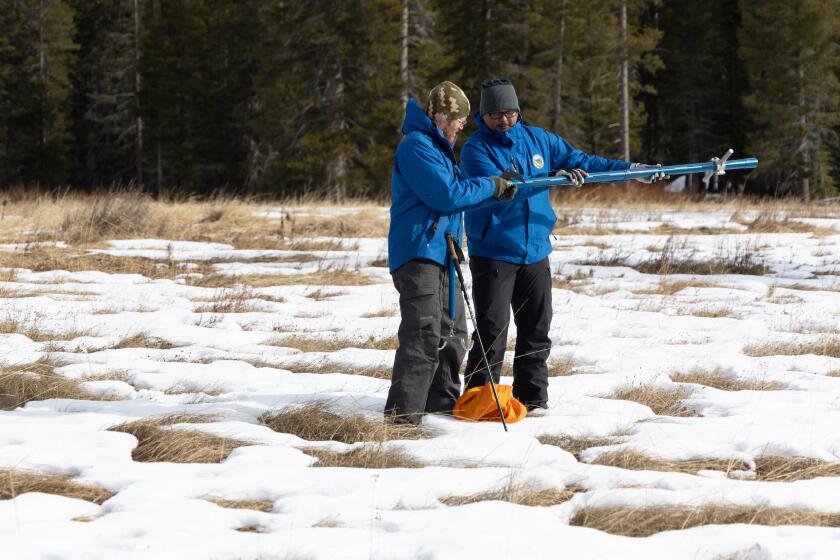
But most of the moisture has fallen in Southern California, and primarily as rain, which has left some officials from the California Department of Water Resources concerned about a “snow drought.” The slow, steady melting of Sierra Nevada snowpack each spring and summer has long been a key component of the state’s water supply.
Last year, the Sierra were battered by intense cold storms that delivered a near-record snowpack — 237% of normal on April 1, the date when it is typically at its peak.
The latest round of storms delivered a boost, increasing the snowpack to 76% of average for the date — up from 50% on Jan. 31.
However, the Sierra snowpack remains only about halfway to its April 1 peak, “so if we see a longer stretch of dry conditions it is still possible to end the season with a below-average snowpack,” said Michael Anderson, state climatologist with the DWR.
“While climate drivers like El Niño or La Niña change the large-scale weather patterns that impact the Northern Hemisphere, each year California’s water supply and flood or drought risk are driven by the timing, pace and scale of atmospheric river storms,” Anderson said. “When we miss out on these storms and have more warm, dry days in winter brought on by climate change, we begin to slip into drought. If storms are too large, come too quickly one after another or persist, then flood conditions arise.”
From California to New England to Europe, many areas of the Northern Hemisphere are approaching a ‘snow-loss cliff’ due to global warming, researchers say.
The DWR is working with federal, state and local partners to improve its seasonal forecasting capabilities, Anderson said. But it is also important to continue to invest in other water management strategies such as stormwater capture, groundwater recharge and recycled water to ensure the reliability of water supplies.
“It’s incumbent upon us as water managers to capture and store as much water as possible during the wet times like we’re seeing now because we never know when drought conditions will return,” he said.
The forecast for the rest of the winter remains somewhat ambiguous. Above-average temperatures are favored in the state through April, while above-average rainfall is favored in Southern California only.
What’s more, the strong El Niño appears to have passed its peak, L’Heureux said.
She added that is is not uncommon for strong El Niños to give way to La Niñas — happening in about 60% of historic cases.
Gavin Schmidt, director of NASA’s Goddard Institute for Space Studies, said similarly that it’s not unusual to swing from one side of ENSO to the other.
“However,” he said, “predictability of the winter time pattern this early in the year is not very skillful, and so I would be wary of any predicted La Niña until June/July or so.”
Toward a more sustainable California
Get Boiling Point, our newsletter exploring climate change, energy and the environment, and become part of the conversation — and the solution.
You may occasionally receive promotional content from the Los Angeles Times.

