String of brutal atmospheric rivers imperils a California already weakened by drought
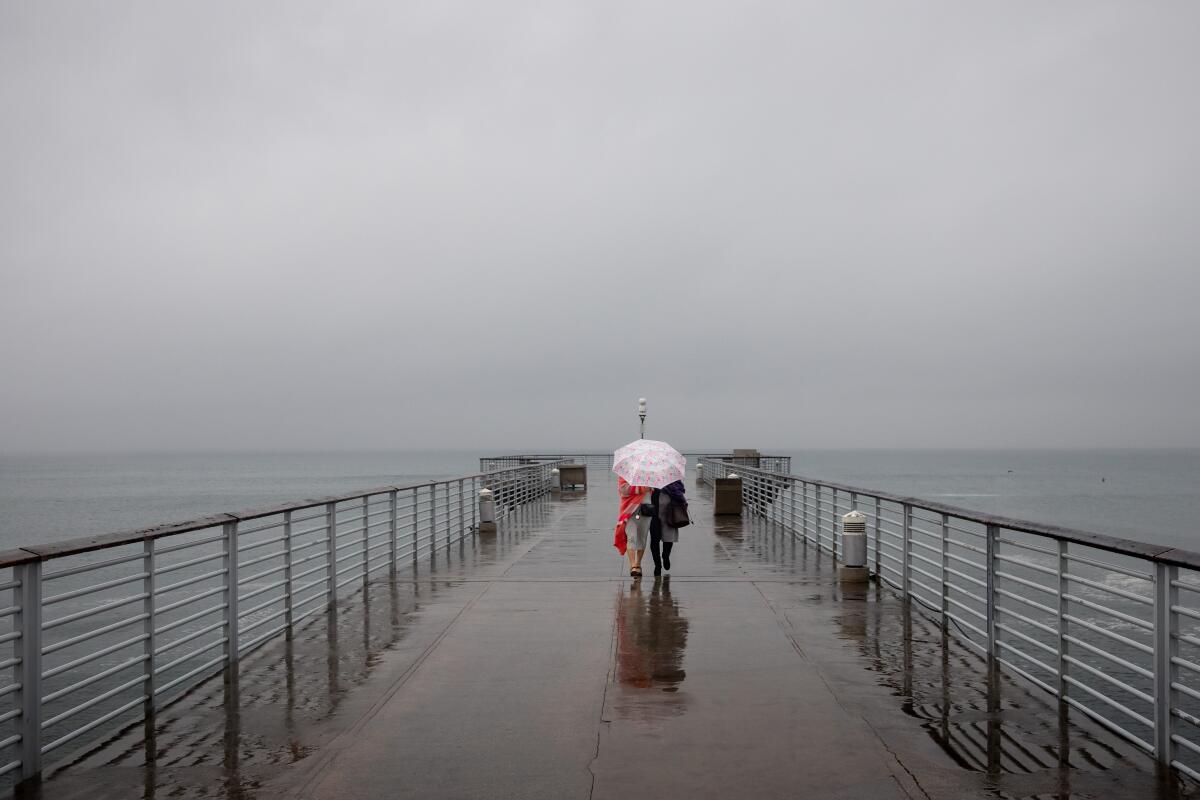
A series of powerful atmospheric river storms is posing a growing threat to California as the ground becomes more saturated, river levels rise and heavy winds threaten the power infrastructure.
This week’s storms are expected to dump intense levels of rain in a fairly short period of time. The greatest potential for disaster is in Northern California, which has already been battered by several destructive storms — including one this weekend that caused a deadly levee breach. But each new storm, including one set to arrive Wednesday, adds new pressure.
“The main reason why this storm is going to have a larger impact than it would have had if it had happened two or three weeks ago is that it’s rained a lot in Northern California already recently, so everything’s really saturated,” said Daniel Swain, a climate scientist at UCLA.
The powerful storm that knocked out power, toppled trees — including one that killed a toddler — and flooded homes along the coast in Santa Cruz continued its march through the region.
“There’s already active river flooding with levee breaks in Sacramento County, so that’s the stage for something pretty intense coming in. … It’s this progression and sequencing that’s a big part of what’s going on,” he added.
Although the incoming atmospheric river is likely to compound damage from the week’s earlier storms, experts say considerable groundwork for the danger was also laid long before the rains arrived. Prolonged drought conditions have weakened the state’s soil and left trees brittle and prone to breaking, while worsening wildfires have left large swaths of burn scars that are highly vulnerable to landslides and increased stream flows.
“To put it simply, this will likely be one of the most impactful systems on a widespread scale that this meteorologist has seen in a long while,” the weather service said in its forecast for Northern California, adding that widespread flooding, downed trees, power outages and hillside collapses are likely.
Indeed, the series of atmospheric rivers that started toward the end of December came as something of a shock after one of California’s driest years on record, which left reservoirs drained and soils dry as a bone.
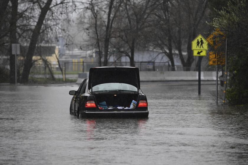
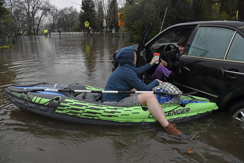
Across Northern California, creeks filled, rivers rose and floodwaters began to surge, stranding motorists and spurring evacuations. At least one person was killed when waters from the Cosumnes River rushed over levees. More than 5 inches of rain fell in San Francisco on Saturday — the area’s second wettest day in more than 170 years of records, officials said.
Days of significant rainfall have already soaked much of the state. A flood watch has been issued for much of Northern California.
Part of the concern about the incoming system is that it will arrive on top of that overload, Swain said. He noted that in October 2021 a similarly strong atmospheric river brought significant rainfall to the state but did not cause nearly the same amount of damage because the conditions leading up to it were more dry. Whereas now, “it’s going to take a much lesser storm to produce much greater impacts given how wet it is.”
San Franciso Mayor London Breed said the city was “preparing for a war” as officials passed out sandbags and braced for more rain and strong winds.
Sacramento and other areas are similarly bracing for another inundation. NWS meteorologist Scott Rowe said the Sacramento Valley can expect an additional 2 to 3 inches of rain Wednesday through Friday, while some areas in the foothills could see up to 6 inches on top of all the rain from the days prior.
“We already have some ongoing flooding in the area ... and we’re expecting more heavy rain,” he said.
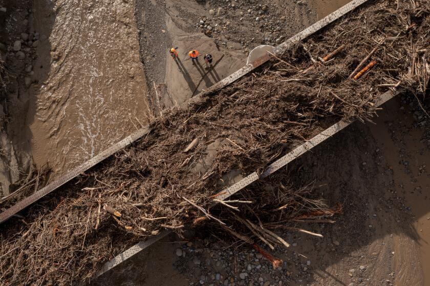
But compounding moisture isn’t the only cause for concern. Areas that have been burned by California’s wildfires are also susceptible to crashing torrents of mud, rocks and other debris because of a lack of vegetation to help anchor the soil, said Chris Field, director of Stanford University’s Woods Institute for the Environment.
“In general, there’s a strong relationship between areas that are burned in wildfires and debris flow in the year following when there’s heavy rain,” he said. “And there’s every reason to think that we will see more debris flows when we have the series of storms we’re seeing now.”
Forecasters are warning Californians to brace for another storm starting Wednesday: ‘It’s going to be a challenging couple of days.’
In fact, one recent study out of UCLA found that in areas where more than a fifth of the forest had burned, stream flow increased by an average of 30% for six years after the fire, contributing to increased erosion, flooding and other hazards.
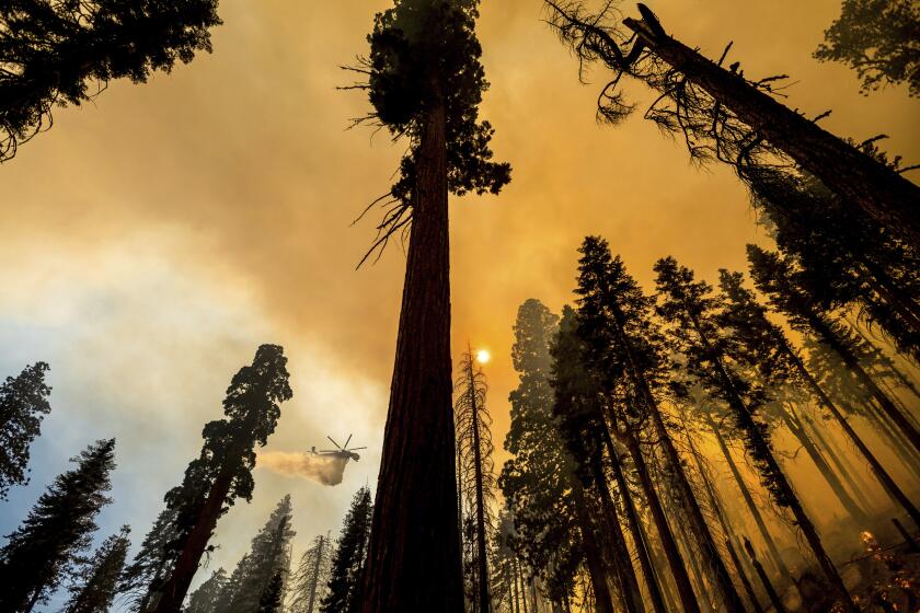
High-intensity fires can also burn through upper layers of soil, leaving waxy moonscapes that can be water-repellent, “so we see the effects at all these different levels that combine to increase the risk of a serious landslide or mudslide,” Field said — though he noted that the relatively tame wildfire season of 2022 probably helped slightly reduce such risks this week.
Still, past fire activity could be partially to blame for flooding around the Cosumnes River, according to Swain.
The river had several factors working against it — including receiving some of the weekend’s heaviest rainfall and being one the state’s few rivers without dams — but part of its watershed also burned in the Caldor fire of 2021. The 222,000-acre blaze seared through many living trees whose roots could have helped sap moisture from the storm, he said.
The weather service has already issued flash flood watches in several burn areas, including that of the August Complex fire, the River Complex fire, the Mosquito fire and the western region of the Dixie fire. The agency advised residents in or near such areas to “prepare to leave before the storm arrives and stay tuned to local authorities for any possible evacuation warnings.”
Beyond wildfire hazards, California’s prolonged and extreme drought may also add threats.
Loss could have grave consequences for California wildlife, including protected species such as spotted owls and Pacific fishers.
The state’s record-dry conditions have contributed to unprecedented tree mortality, including the death of nearly a third of Southern Sierra forests as well as urban trees in medians and backyards.
The brittle, weakened trees will face intense winds during the incoming storm, and could cause power outages and property damage if they snap or fall.
“This is probably the strongest wind event that we will have had in this era where there’s that many drought-weakened or killed trees,” Swain said. “So the combination of the fact that this looks like it’s going to be a pretty high wind event, especially for Northern California, and the fact that there may be more trees vulnerable than usual — I would not be too surprised if there are a lot of power outages Wednesday night and Thursday morning.”
Last week’s storms left tens of thousands of homes in Northern California without power for several days. The weather service has issued high wind warnings for Wednesday’s storm in several parts of the state, including gusts of up to 75 mph in portions of far Northern California.
“It’s important for people to be cautious,” Field said. “This looks like a big series of storms, and big storms are dangerous — even if the water is welcome.”
Times staff writers Grace Toohey and Susanne Rust contributed to this report.
More to Read
Sign up for Essential California
The most important California stories and recommendations in your inbox every morning.
You may occasionally receive promotional content from the Los Angeles Times.
