Coldest storm of season dumps snow on mountains, closes I-5 through Grapevine for hours
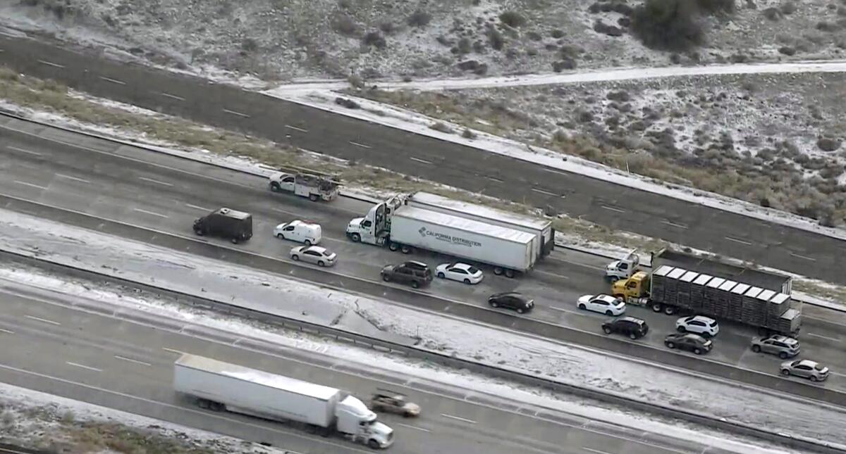
The 5 Freeway through the Grapevine was closed for about five hours Wednesday by a cold winter storm moving through Southern California, officials said.
Southbound lanes were closed at Grapevine Road and northbound lanes at Parker Road around 7 a.m. and reopened shortly after noon, according to the California Department of Transportation.
The roadway is a major artery for travel, and traffic cameras operated by the agency showed cars stopped by a police barrier as ice and snow fell early in the morning.
Though both lanes reopened, the California Highway Patrol advised drivers that roads remained slick.
“Weather and roadway conditions still exist so we remind you to slow down, wear your seatbelt and prepare for extra time in your travels,” the CHP said on Twitter.
The storm, which arrived Tuesday, eased as the day wore on but continued to deliver strong winds, frigid temperatures, rain and low-elevation snow around the I-5 corridor.
A winter weather advisory in the Los Angeles and Ventura County mountains was in effect until 3 p.m. Wednesday. The National Weather Service warned of gusty winds up to 45 mph through Wednesday night, and freezing conditions were expected each night and morning through Friday in the valleys. Temperatures were forecast to be coldest Thursday morning, with widespread lows of 28 to 34 degrees, falling as low as 17 degrees in some interior valleys.
Two-day snowfall totals had reached 3 to 5 inches at Mountain High near Wrightwood, and areas including Mt. Baldy and Frazier Park saw 1 to 2 inches of snow, the weather service reported.
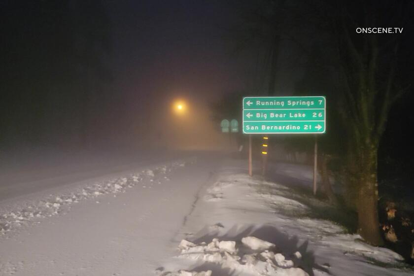
The coldest storm of the season made its entrance in Southern California on Tuesday, dumping sleet and snow in high mountain areas.
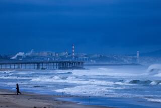
The storm threatened to drop rain and hail across the L.A. area but stayed mostly to the north and eastern areas of the county and was generally drier than anticipated, officials said. Most areas in the county received less than a quarter-inch of precipitation.
“The storm delivered on the snowfall amounts expected for the mountains, but the chance of showers and slight chance of thunderstorms we were talking about for the remainder of the area — like the lower elevations and the coastal sections — didn’t really materialize that much,” said David Sweet, a meteorologist with the weather service in Oxnard.
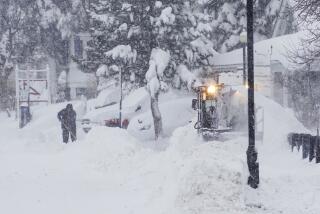
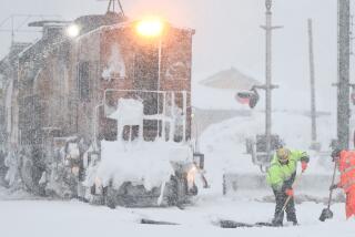
Some parts of the state, however, saw more precipitation. Big Bear received up to 8 inches of snow, officials said, while the UC Berkeley Central Sierra Snow Lab in Donner Pass reported nearly 16 inches.
But more will be needed to overcome deficits from the dry start to the year. Statewide snowpack remains low — measuring only 67% of normal for the date, according to the California Department of Water Resources.
Still, the precipitation was welcome. Officials in Sacramento and the Bay Area said the storm broke dry spells that began in January and lasted more than 40 days.
The storm also delivered on its promise of frigid temperatures. Freeze watches and warnings remain in effect through Thursday in several areas, including portions of the Inland Empire, Ventura County, the Bay Area and much of the Central Valley.
Forecasters in Sacramento said temperatures in the 20s and 30s could tie or break some record lows for the date. Downtown Los Angeles is not expected to top 60 degrees.
Dry weather is expected Thursday through the weekend, along with a gradual warming trend.
More to Read
Sign up for Essential California
The most important California stories and recommendations in your inbox every morning.
You may occasionally receive promotional content from the Los Angeles Times.
