California snowpack dwindles after a dry January
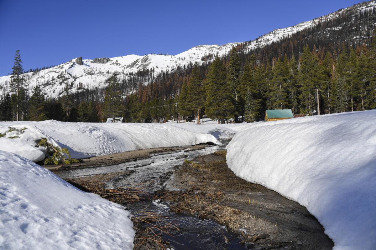
California’s second snow survey of the season arrived on the heels of one of the state’s driest Januarys on record, and officials are warning that a third dry year is possible unless more rain and snow arrive soon.
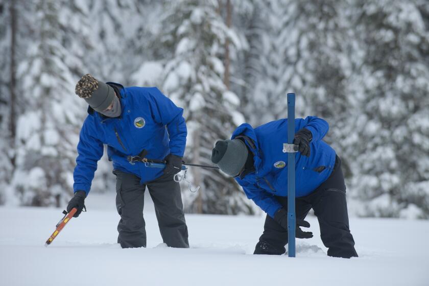
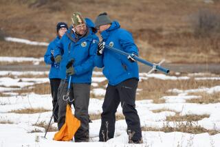
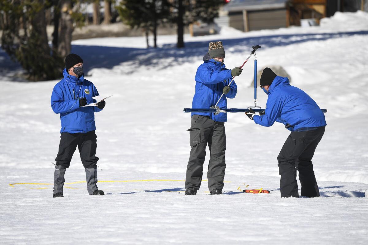
Surveyors from the California Department of Water Resources gathered Tuesday at Phillips Station near South Lake Tahoe to announce their latest findings. Statewide snowpack has dwindled to 92% of average for the date, they said.
During the initial survey about one month ago — after December’s deluge of rain and snow — that number stood at 160%.
“January basically wiped out whatever head start we had as we head toward the end of winter,” said Sean de Guzman, manager of snow surveys for the Department of Water Resources.
January and February are typically the heart of California’s wet season, but the unusually dry and sunny start to the year has already contributed to a couple of inches of snow melt and, more crucially, a lack of accumulation, De Guzman said.
He and other officials are growing increasingly concerned that without more precipitation in the coming weeks, the state’s recent gains could soon dry up.
“A completely dry January shows how quickly surpluses can disappear,” DWR Director Karla Nemeth said in a statement. “The variability of California weather proves that nothing is guaranteed and further emphasizes the need to conserve and continue preparing for a possible third dry year.”
The 2021 water year, which ended Sept. 30, was the state’s driest in a century.
Storms in December pushed California snowpack to 160% of average, giving a boost to the state’s drought-depleted water supplies.
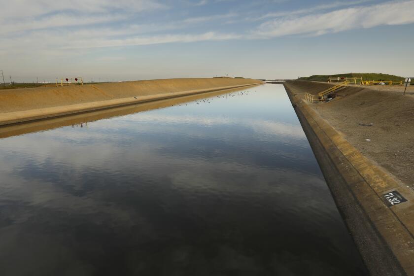
The snow surveys are conducted at least four times every winter and spring, and their findings play a crucial role in how the state’s water supply is managed the rest of the year. Traditionally, melting snowpack has supplied California with a third of its water, and significant infrastructure is designed around the once-reliable melting of snow in warmer months.
Experts say drought, heat and climate change are challenging those time-worn assumptions.
“The main message for this last month of January is that it was a complete flip-flop from what we saw in December,” said Scott Rowe, a meteorologist with the National Weather Service in Sacramento. “Precipitation values really plummeted in a good swath of the state.”
Indeed, while December’s survey came at the tail end of one of the soggiest months in recent memory, February’s came after one of the driest. Parts of the Sierra Nevada that recorded more than 300% of normal precipitation in December saw as little as 0% in January, according to data from the National Oceanic and Atmospheric Administration’s California Nevada River Forecast Center.
“We went from a wet October to a dry November to a wet December to a dry January — a seesaw effect,” Rowe said.
Though such swings can be common in California, experts say the extremes are becoming more pronounced.
“Our climate is experiencing these volatile shifts from wet to dry, year after year and even month after month, which make water resources and planning, and water management, so challenging in a changing climate,” De Guzman said.
Weeks ago, state officials said December’s storms could allow for a “modest increase” in water supply allocations. Officials haven’t yet indicated whether that allocation will change because of the dry January, although De Guzman on Tuesday noted that most reservoirs were still below average.
“We will need to see a return of those winter storms during February, during March, to really keep track and remain right around normal,” he said.
Last month’s record-setting snow and rain allowed state officials to increase planned water allocations from 0% to 15%.
Unfortunately, the weeks ahead look dry. NOAA’s one-month outlook calls for below-normal precipitation in all parts of the state, while the U.S. Drought Monitor map, which measures soil moisture levels, shows nearly all of the state under “severe” or “moderate” drought conditions.
“As the West moves into the second half of its winter wet season, a return to stormy weather will be needed to sustain the drought improvement that occurred during October and December,” drought monitor officials wrote in their latest analysis.
UCLA climate scientist Daniel Swain noted on Twitter that the forecast for the start of February was “the single driest ensemble mean [precipitation] prediction I’ve ever seen during peak of California wet season.”
“Extremely dry conditions — with zero rain or snow in most spots — are likely to continue across all of California and indeed much of the West into mid-February,” he said.
Meanwhile, the East Coast was buffeted by a blizzard last weekend, and more than 20 states are now gearing up for a massive winter storm that could stretch more than 2,000 miles. None of that will make it to California, said Rowe, the meteorologist.
“Unfortunately, the forecast remains on repeat,” he said. “At least throughout the middle of the month, largely dry conditions are expected.”
The “finish line” for measuring Sierra snowpack is usually April 1, when snowpack tends to be deepest, and the next survey will be conducted March 1, De Guzman said.
But at Phillips Station — where officials in December recorded 20 inches of snow water equivalent, or 202% of average for the location — the equivalent on Tuesday measured only 19 inches, or 109% of average, a potential indication of what the rest of the season may have in store.
“This drought,” he said, “is still far from over.”
More to Read
Sign up for Essential California
The most important California stories and recommendations in your inbox every morning.
You may occasionally receive promotional content from the Los Angeles Times.
