Along the crumbling Sonoma Coast, an ambitious project paves the way for ‘managed retreat’
GLEASON BEACH, Calif. — A few winding turns past Bodega Bay, along foggy bluffs and coastal prairie, relentless waves pound a crumbling stretch of coastline in dire need of saving.
Here at Gleason Beach, once referred to as Malibu North, the beach gets drowned during high tide. Bits of concrete and rebar are all that remain of 11 cliff-top homes that have already surrendered to the sea. A graveyard of seawalls, smashed into pieces, litters the shore.
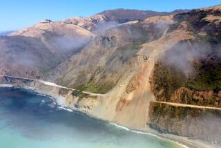
Highway 1 now hangs inches from what seems like the edge of the world. For decades, officials have scrambled to save the road from the ocean — pouring millions of tax dollars into a vicious cycle of sudden collapses and emergency repairs. Last year, this critical lifeline for the region was reduced to one lane.
With the realities of climate change looming ever closer, California transportation officials are now moving a key stretch of highway more than 350 feet inland — one of the first major efforts by the state to relocate, or “manage retreat,” critical infrastructure far enough from the coast to make room for the next 100 years of sea level rise.
The ambitious project — approved this month after more than a decade of planning — comes at a time when city and state leaders across California are waking up to the social and economic disasters of sea level rise. At least $8 billion in property could be underwater by 2050, according to recent legislative reports, with an additional $10 billion at risk during high tides. Heavier storms and more intense cycles of El Niño could make things even worse.
In a set of targets guided by Gov. Gavin Newsom’s administration, many agencies agreed this year to prepare California for at least 3.5 feet of sea level rise by 2050.
The painful reimagining of Gleason Beach offers a glimpse into the future for other communities now clashing over the costs and compromises of living by the sea. At the heart of this $73-million project is a reckoning over what is worth saving — and what is worth sacrificing — and whether it’s possible to redesign a treasured landscape so that it survives into the future.
“It seems daunting; it’s a lot of change to cope with, but it’s also an opportunity for communities to think about: What are the coastal resources we want to have access to 50, 100 years from now?” said Tami Grove, the California Coastal Commission’s statewide transportation program manager. “It gets lost, sometimes, when people are worried about everything that we’re going to lose to sea level rise — but there are things that we’re going to be able to choose and enhance and design into the future if we start planning now.”
Maintaining this critical stretch of Highway 1 has been a decades-long saga. It is the only evacuation route for many residents, as well as the only way to reach many of Sonoma’s beaches and sweeping vistas — the economic and cultural soul of the region.
Photos from the 1970s show more than 20 bluff-top homes and a wide sandy beach buffering the highway from the sea. But the particularly unstable cliffs in this area have been eroding about 1 foot a year on average, exacerbated by sea level rise and sudden landslides.
With most of the homes and beach now gone, the highway has struggled to hold the line between land and sea. Since 2004, Caltrans has spent about $10 million in emergency defenses and failed repairs. The cliffs and beach today are cluttered with remnants of human engineering.
“This is what unmanaged retreat looks like, and it is quite frankly a hot mess of septic systems, old house parts and armoring that have fallen into the intertidal zone with no real mechanism for cleaning it up,” said Sonoma County Supervisor Lynda Hopkins. “If we don’t start planning ahead and taking proactive measures, Mother Nature will make the decisions for us.”
In an interagency collaboration that many said was a major coup in government bureaucracy, the California Department of Transportation, the Coastal Commission and county leaders came together and hammered out a plan to relocate 0.7 miles of the highway — largely with a new 850-foot-long bridge spanning Scotty Creek where it meets the ocean.
Compromise wasn’t easy: Officials studied more than 20 alternatives that tried to balance safety codes, traffic needs, fragile habitats, public access to the coast and other competing requirements that were tricky to meet given the topography — not to mention all the nearby properties and getting a skeptical community on board.
The concrete bridge (a monstrous overpass or a reasonable compromise, depending on who’s talking) will allow the creek to flow freely into the ocean again — making room for more red-legged frogs, Myrtle’s silverspot butterflies and the passage of steelhead trout and coho salmon. Elevating the highway avoids paving over wetlands, officials said, giving these drowning habitats the space to migrate inland as the sea rises.
Caltrans also agreed, as part of the project, to pay $5 million to help clean up the mess of abandoned homes and failed road repairs. An additional $6.5 million will go toward wetland, creek and prairie restoration. Some of the old highway will be converted into a coastal trail, and the public will have access to a new parking area and a beach that was once limited by private property.
Officials have also set aside $2.7 million to negotiate and acquire land from three private properties, including necessary portions of a nearby ranch that will be most impacted by the realigned highway. Once completed, much of the open space will be transferred to Sonoma County to manage on behalf of the public.
Philip and Roberta Ballard, the ranch owners, said they’ve come to understand the necessity of this project. The bridge still feels way too big — especially for this rural stretch of paradise that first captured their hearts 21 years ago — but the Ballards have dedicated their energy over time into making sure Scotty Creek gets restored as part of the deal.
The creek, the largest watershed between Salmon Creek and the Russian River, has needed help for years, they said. In addition to its flow getting choked by a culvert that was installed in 1952 for the highway, the lower creek has been denuded of its vegetation.
“A lot of our efforts have gone into trying to make the best out of something that is necessary,” said Roberta Ballard, who is a professor emeritus of pediatrics, along with her husband, at UC San Francisco. “But the bridge is pretty ugly.”
Other residents and trail groups said a giant concrete bridge, no matter what color you paint it, would forever alter the majesty of the Sonoma Coast, where much of the coastal protection movement of the 1960s and ’70s was born. Their many suggestions for a less intrusive solution were ignored, they said.
“Let’s fix the road without destroying so much of the place itself,” said Richard Charter, a longtime resident and senior fellow at the Ocean Foundation. “This is going to be the largest man-made structure on the Sonoma Coast. It’s going to be visible from everywhere, and it’s going to completely obliterate what we thought we had saved on our coast.”
Some environmental groups, such as the Surfrider Foundation, supported the managed retreat process but questioned the small seawall included in the deal to protect a driveway and a portion of the coastal trail.
Stefan Galvez-Abadia, Caltrans district division chief of environmental planning and engineering, acknowledged these concerns and said that after so many years of seminars and talks about climate change adaptation, turning an abstract concept like managed retreat into reality has been a very complex exercise in compromise.
His team is trying to design a prettier bridge that’s more fitting for the rural landscape. They’ve studied the arched columns of Bixby Creek Bridge on the Big Sur coast and other man-made landmarks that have become iconic over time. The project is expected to break ground next summer.
Regarding the more minimal options suggested by concerned residents, many did not meet seismic or safety standards — the bridge needs to be high enough for emergency vehicles to pass under, officials said, as well as for worst-case flood scenarios. Other suggestions were not enough in size nor distance to outlast coastal erosion into 2100.
“You don’t have many choices when it comes to sea level rise … whichever way you chose, you’re going to have some kind of impact,” Galvez-Abadia said. “These are the difficult decisions that we will all have to make as a region, as a community for generations to come.”
Gary Griggs, a longtime coastal erosion expert at UC Santa Cruz who has been studying what the future of managed retreat will look like for California, said there have been very few case studies so far and was struck by how much time — and money — it takes to relocate a stretch of highway that isn’t even in an area as populated as Malibu or the Bay Area.
Each managed retreat project gets more interesting — and a lot more complicated with the trade-offs, he said. “What’s happening at Gleason Beach is a good example of what can be done and another step forward.”
Back on Highway 1, Stavan Cook recalled the bluff-top cottage he grew up in. Old photos showed the house with a 20-foot yard and stairs that led down to the beach.
His father, an architect, made a few additions over the years as the cliff continued to erode. His family tried putting up a seawall. But after a devastating storm in 1997, they finally decided to manage their own retreat: jacking up their house and moving it to a new parcel inland.
Now a locksmith at Bodega Coast Lock and Key, Cook relies on this coastal highway that connects his whole community, driving each day past the crumbling lot where his home once overlooked the sea.
“I’ve seen the cliff erode for my entire life,” he said. “We have to do something, and if putting in a bridge is what it takes, well, that’s what it takes.”
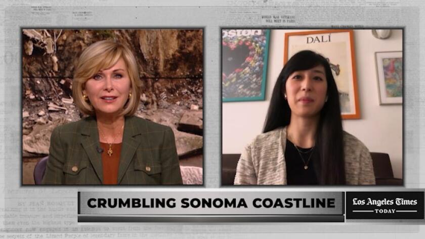
Watch L.A. Times Today at 7 p.m. on Spectrum News 1 on Channel 1 or live stream on the Spectrum News App. Palos Verdes Peninsula and Orange County viewers can watch on Cox Systems on channel 99.
More to Read
Sign up for Essential California
The most important California stories and recommendations in your inbox every morning.
You may occasionally receive promotional content from the Los Angeles Times.


