Amid a snow-capped backdrop, Southern California will dry out this week
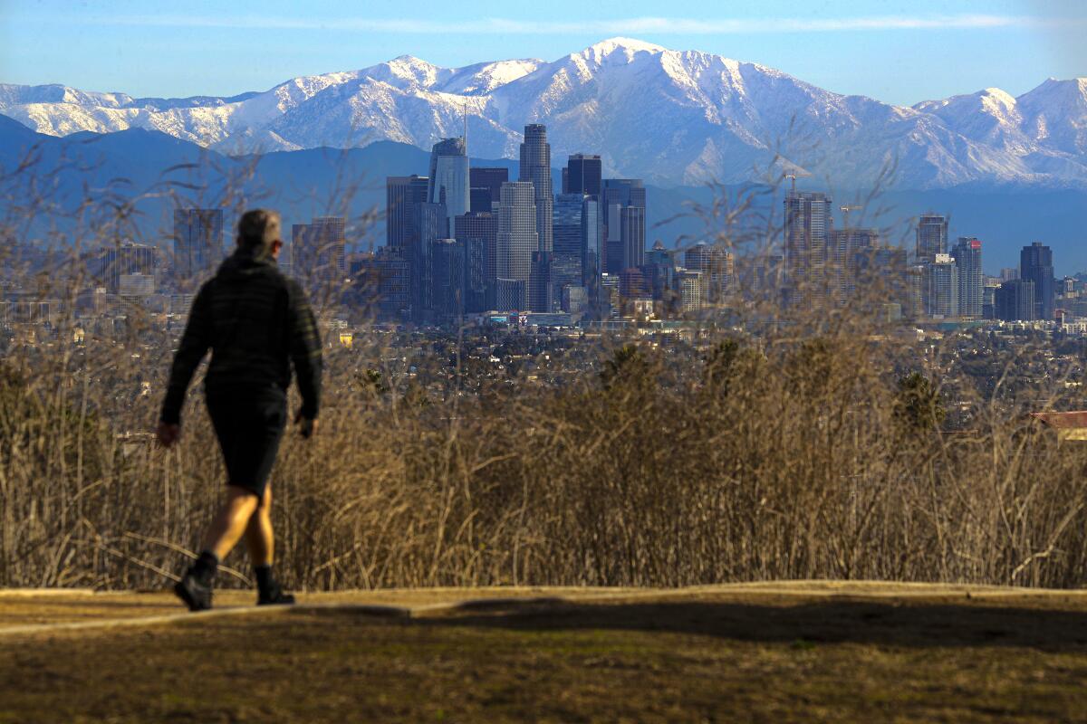
Southern California will get a chance to dry out this week after a string of storms dumped rain and snow across the region over the last few weeks.
“Basically, we’ve got an area of high pressure moving in from the West, and it’s deflecting the storms to the north,” said David Sweet, a meteorologist with the National Weather Service in Oxnard.
The weather is expected to stay dry through at least Sunday, forecasts show. Temperatures are also expected to warm up later in the week, with highs in the mid-60s to lower-70s on Friday and Saturday, according to the weather service.
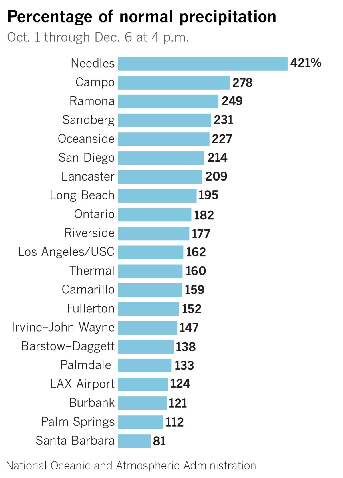
The shift follows several storms that brought widespread rain and snow to higher elevations, pushing precipitation totals above normal in many areas on the heels of the wettest November in nearly a decade.
During the most recent storm, a record 0.89 inches of rain fell at Paso Robles Municipal Airport on Sunday, surpassing the previous precipitation record for the day of 0.25 inches set in 1949, the National Weather Service said.
Over 2 inches of rain fell at Crystal Lake in the San Gabriel Mountains, according to preliminary weather service totals for the three-day period ending at 2 p.m. Sunday. Parts of San Luis Obispo County saw over 3 inches of rain during the same time.
Still, the most recent U.S. Drought Monitor data for California is mostly unchanged, with 85.3% of the state considered to be abnormally dry, according to information released Thursday.
Times staff writer Paul Duginski contributed to this report.
More to Read
Sign up for Essential California
The most important California stories and recommendations in your inbox every morning.
You may occasionally receive promotional content from the Los Angeles Times.
