Hurricane Francine makes landfall in Louisiana as a Category 2 storm
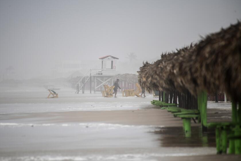
MORGAN CITY, La. — Hurricane Francine struck Louisiana on Wednesday evening as a Category 2 storm that forecasters warned could bring deadly storm surge, widespread flooding and destructive winds to the northern U.S. Gulf Coast.
Francine made landfall in Terrebonne Parish, about 30 miles southwest of Morgan City, the National Hurricane Center announced at 4 p.m. Central time. Packing maximum sustained winds near 100 mph, the hurricane crashed into a fragile coastal region that hasn’t fully recovered from a series of devastating hurricanes in 2020 and 2021.
Power outages in Louisiana climbed rapidly to nearly 64,000. Hardest hit by the blackouts was Terrebonne Parish near where the storm’s center hit land, as well as neighboring St. Mary Parish, which includes Morgan City.
The National Hurricane Center urged residents in a wide area of southern Louisiana to take shelter for the night as the hurricane moved to the northeast at 17 mph. That included New Orleans, where forecasters said the storm’s eye could pass through.
“Conditions are going to go downhill really rapidly over the next couple of hours,” Jamie Rhome, the hurricane center’s deputy director, said in an online briefing just before landfall. “It’s not going to be a good night to be driving on the roads, especially when the sun goes down.”
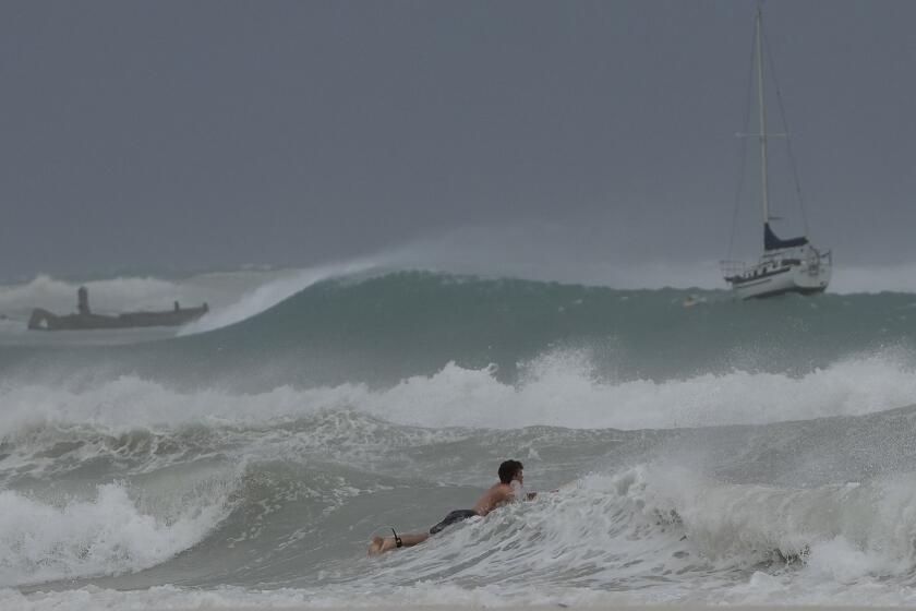
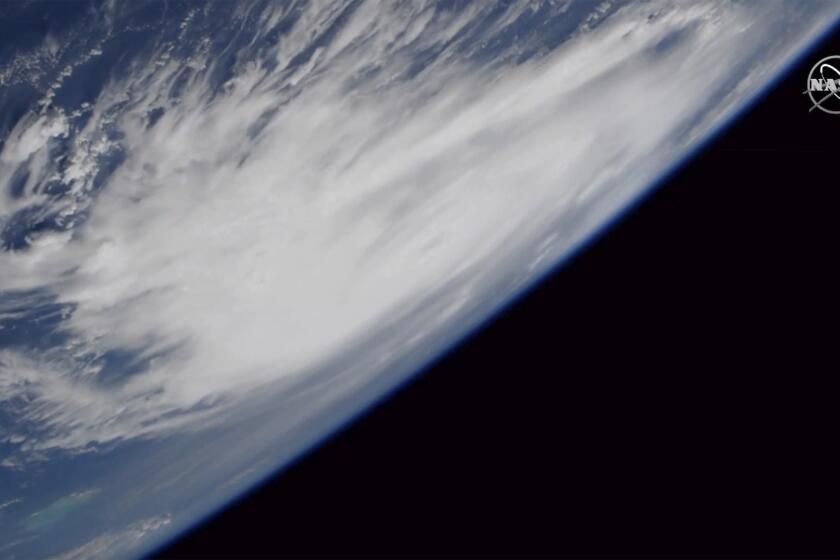
Tropical Storm Francine is churning in extremely warm waters in the Gulf of Mexico with increasing strength.
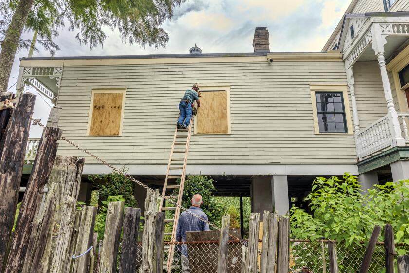
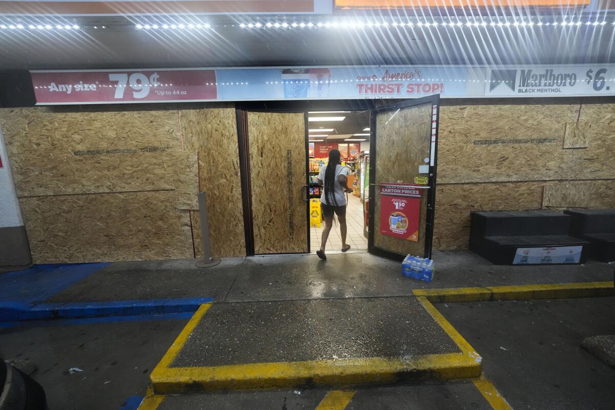
In Morgan City, gas stations had put plywood on the windows and moved trash cans inside, with a few pumps still serving the trickle of cars passing through shortly after dawn.
Retired boat captain Pat Simon, 75, and his wife, Ruth, loaded their possessions in garbage bags and tied them down in the back of a rented U-Haul pickup truck as they evacuated their home near the banks of the Atchafalaya River near Morgan City.
“I don’t think it’s going to be that bad, like some of the other ones like Ida and Katrina,” Pat Simon said. “I mean, we’ve had some bad ones.”
Francine drew fuel from exceedingly warm Gulf of Mexico waters, strengthening from a Category 1 to a Category 2 storm hours before landfall, the National Hurricane Center said. Category 2 hurricanes are classified as having winds of 96 to 110 mph.
The last time the Atlantic failed to produce any named storms between Aug. 13 and Sept. 3 was in 1968 — more than 50 years ago.
The center said a gust of 105 mph was reported from a coastal island and warned that heavy rains and hurricane-force winds were spreading inland across southern Louisiana. “Now is the time to stay inside and away from windows,” the center’s advisory warned shortly after landfall.
Louisiana Gov. Jeff Landry had urged residents to “stay off the roads, stay home and stay put.” He said the National Guard would fan out to parishes impacted by Francine. They have food, water, nearly 400 high-water vehicles, about 100 boats and 50 helicopters to respond to the storm, including for possible search-and-rescue operations.
Hurricane season typically peaks around this time of year and Louisiana residents have often faced threats from such storms. Since the mid-19th century, 57 hurricanes have tracked over or made landfall in Louisiana, according to the Weather Channel. Among them are some of the strongest, costliest and deadliest storms in U.S. history.
Francine was centered late Wednesday evening about 65 miles southwest of Morgan City and was moving northeast at 17 mph with maximum sustained winds of 100 mph, the Miami-based hurricane center said.
Hurricane Beryl’s growth into an unprecedented early storm shows the literal hot water the Atlantic and Caribbean are in right now.
Morgan City, home to around 11,500 people, sits on the banks of the Atchafalaya River in southern Louisiana and is surrounded by lakes and marsh. It’s described on the city’s website as the “gateway to the Gulf of Mexico for the shrimping and oilfield industries.”
Larry Doiron, the owner of a Chevron station just outside Morgan City, said he had enough gas to keep pumps operational through the storm.
“We’re the only place out here for the sheriff’s department, the fire department. We have gas. All the locals depend on us,” he said. “We’re going to try and stay on top of it and hopefully take care of everybody.”
As climate change intensifies hurricanes, some scientists want a Category 6 for the biggest storms
President Biden granted an emergency declaration that will help Louisiana secure federal money and logistical assistance from partners such as FEMA. Landry and Mississippi Gov. Tate Reeves also declared states of emergency, authorizing them to quickly free up resources for disaster assistance.
A hurricane warning was in effect along the Louisiana coast from Cameron east to Grand Isle, about 50 miles south of New Orleans, according to the hurricane center. A storm surge warning stretched from the Mississippi-Alabama border to the Alabama-Florida border. Such a warning means life-threatening flooding could occur.
The Mississippi Emergency Management Agency said it distributed more than 100,000 sandbags to the southern part of the state, and the Department of Education reported a number of school district closures for Wednesday and Thursday.
Debby, Oscar, Tony: What’s in a storm’s name? How does a tropical storm or hurricane get its moniker? Will yours come up on the forecasters’ list?
Francine is the sixth named storm of the Atlantic hurricane season. Much of Louisiana and Mississippi could get 4 to 8 inches of rain, with the possibility of 12 inches in some spots, said Brad Reinhart, a senior hurricane specialist at the hurricane center.
The hurricane center said parts of Mississippi, Alabama and the Florida Panhandle were at risk of “considerable” flash flooding and urban flooding starting Wednesday.
Francine’s storm surge on the Louisiana coast could reach as much as 10 feet from Cameron to Port Fourchon and into Vermilion Bay, forecasters said. They said landfall was likely somewhere between Sabine Pass — on the Texas-Louisiana line — and Morgan City, about 220 miles to the east.
Brook and Cline write for the Associated Press. Brook reported from Morgan City and Cline from Baton Rouge, La. AP writers Curt Anderson in St. Petersburg, Fla., and Kevin McGill in New Orleans contributed to this report.
More to Read
Sign up for Essential California
The most important California stories and recommendations in your inbox every morning.
You may occasionally receive promotional content from the Los Angeles Times.
