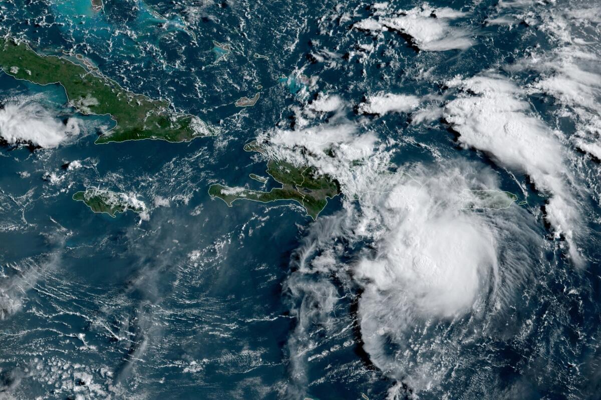
Fred may regain tropical storm strength as it nears Florida

HAVANA — Tropical depression Fred was moving along Cuba’s northern coast and could regain tropical storm status as it pulls away from the island on Friday, ahead of its projected track toward the Florida Keys on Saturday and southwest Florida on Sunday, forecasters said.
Meanwhile, still east of the Caribbean Sea, forecasters were watching a disturbance that they said would likely become Grace, the seventh named storm of the Atlantic hurricane season. Island governments issued a tropical storm watch for Antigua and Barbuda, St. Kitts and Nevis, and Montserrat. Puerto Rico and the U.S. Virgin Islands also were warned to monitor its progress.
The Miami-based National Hurricane Center said Fred had maximum sustained winds of 35 mph and was dropping heavy rain over parts of Cuba, where the main threats were rain and flooding. A tropical storm warning was issued Friday morning for the Florida Keys and Florida Bay, and a watch was in place for southwest Florida.
The hurricane center said 3 to 7 inches of rain were expected across the Florida Keys and southern peninsula by Monday, with isolated maximums of 10 inches.
No evacuations are planned for tourists or residents in Monroe County, Keys officials said Friday. The county’s emergency management officials are advising people in campgrounds, recreational vehicles, travel trailers, live-aboard vessels and mobile homes to seek shelter in a safe structure during the storm.
Once a tropical storm, Fred weakened back to a depression by its spin over Haiti and the Dominican Republic, where it knocked out power to some 400,000 customers and caused flooding that forced officials to shut down part of the country’s aqueduct system, interrupting water service for hundreds of thousands of people. Local officials reported hundreds of people were evacuated and some buildings were damaged.
Fred’s center was about 245 miles southeast of Key West, Fla. That was also about 40 miles east-southwest of Caibarien, Cuba. It was still headed west-northwest at 12 mph.
Climate change is making the world more prone to floods like those in China and Europe and to heat waves and fires like those in the U.S. and Russia.
The system was expected to produce 3 to 5 inches of rain across the Dominican Republic and the western Bahamas, as well as 1 to 3 inches over Haiti, the Turks and Caicos, the eastern Bahamas and Cuba.
Fred became the sixth named storm of the Atlantic hurricane season late Tuesday as it moved past the U.S. Virgin Islands and Puerto Rico.
More to Read
Sign up for Essential California
The most important California stories and recommendations in your inbox every morning.
You may occasionally receive promotional content from the Los Angeles Times.


