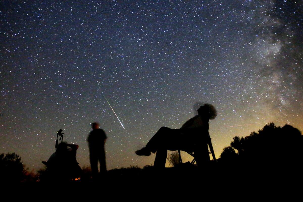
12 SoCal spots to see the Perseids meteor shower — which will be spectacular this year
When the sun goes down over the next several days, you’ll want to look up. Summer’s celestial blockbuster, the Perseids meteor shower, is back, gracing the night sky through about Sept. 1. Based on the American Meteor Society’s forecast, our planet will see the densest display on Aug. 12 and 13.
During the Perseids peak, you can witness up to 100 meteors per hour. Unlike last year, you won’t have to worry about the Sturgeon supermoon diminishing your view — it rose on Aug. 1. This time around, given the moon will be only 10% full, the display will be particularly luminous.
Named after the constellation from which they radiate, the Perseids are not stars but icy, rocky remnants of the comet Swift-Tuttle. You’ll have the best chance of seeing them under a dark sky, away from light pollution.
Here are my favorite Southern California spots, from deserts to mountains to the coast, to watch the dancing streaks of light. Grab a spot early for a stellar evening escapade or, if you’d prefer to catch the event from the comfort of your sofa, you can also view it virtually.
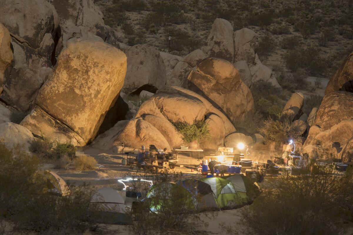
Indian Cove Campground, Joshua Tree National Park
How to get there: From the town of Joshua Tree, drive east on Highway 62 to the Joshua Tree National Park visitors center (near the intersection of 62 and Park Boulevard), then continue east another 9.2 miles on Highway 62. Turn right onto Indian Cove Road and continue 2.7 miles to the campground.
Parking: Paved lot. No dogs.
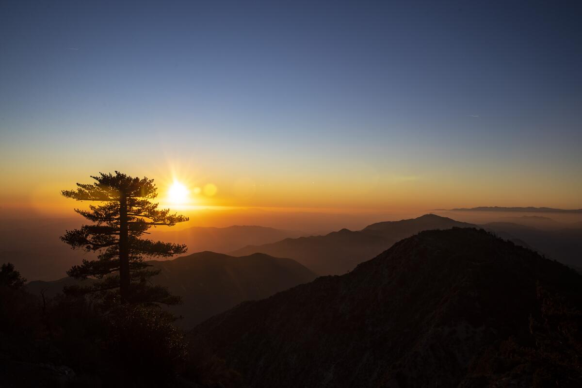
Mt. Disappointment, Angeles National Forest
How to get there: Drive 14 miles on the Angeles Crest Highway (California 2) from the 210 Freeway. Turn right onto Mt. Wilson/Red Box Road and continue 2.3 miles to the Eaton Saddle trailhead.
Parking: Two small dirt lots, free. Dog-friendly.
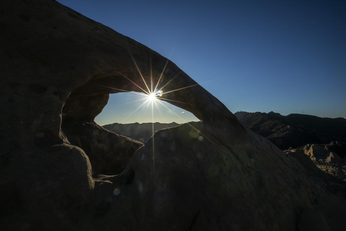
Castro Crest, Santa Monica Mountains
How to get there: From Pacific Coast Highway, take Corral Canyon Road for 12 miles north to the Corral Canyon trailhead.
Parking: Dirt lot, free. Dog-friendly.
Ojai
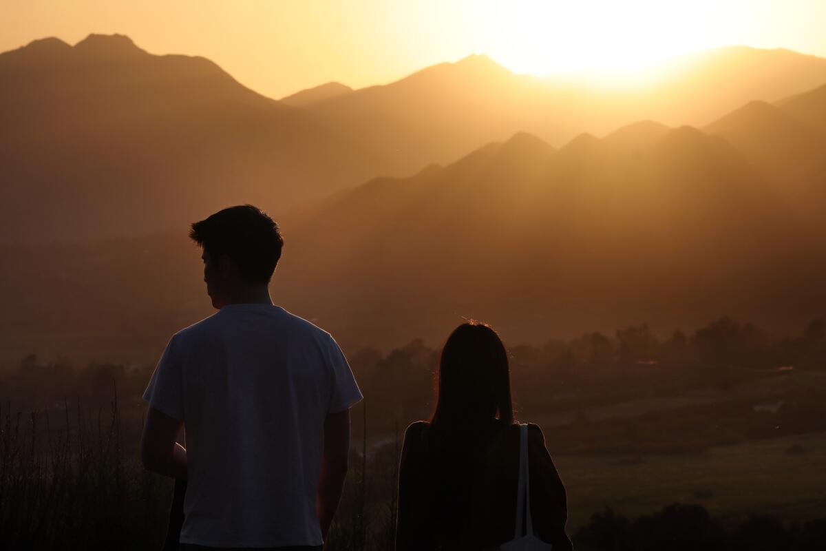
The law is aimed at reducing light pollution and energy bills and, ultimately, protecting those beautiful night sky views. This makes it the perfect accessible stargazing getaway for those who prefer to spend the early evening drinking local wine (perhaps at The Ojai Vineyard), perusing old novels (Bart’s Books) and exploring the boutique shops. Don’t forget to catch the famous “pink moment” along the Topa Topa bluffs at sunset. If you’re staying in town, grab a picnic table at Libbey Park (until 11 p.m.) or head a few miles east to Dennison Park, host to a charming campground ($20 per site) and darker skies. If you prefer to be more remote, head up the Maricopa Highway for a turnout in the Los Padres, including eight miles to the serene Wheeler Gorge Campground ($25 per night, 59 reserved sites, nine walk-in). Make it a star-cation!
How to get there: From the 101 Freeway, take the California 33 north and 150 east on Ojai Avenue, 3.5 miles from the town center.
Parking: Street park in a dark spot. Dog-friendly.
Leo Carrillo State Park, Santa Monica Mountains National Recreation Area
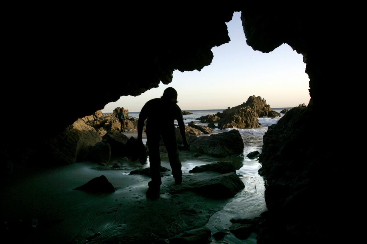
Set up before sunset to watch the tangerine blanket drape over the Pacific and have a chance to explore the rocky tide pools and sea caves. There is a campground for overnighters (135 reservable sites, $45 a night) and a backcountry trail (Camp 13 Trail at the eastern edge of campsite) that takes you 600 feet up for panoramic coastal vistas and an additional secluded spot to get starstruck. You can also drive up the campground-adjacent Mulholland Highway, which features a few pullouts for those that prefer a private drive-in star-watching experience.
How to get there: Take Pacific Coast Highway north (about 26 miles from the Santa Monica Pier).
Parking: Paved lot closes at 10 p.m.; $12; and street parking on Pacific Coast Highway. Dogs welcome in the day-use area, campgrounds and north of lifeguard tower 3 but not on trails.
Rancho Palos Verdes Overlook
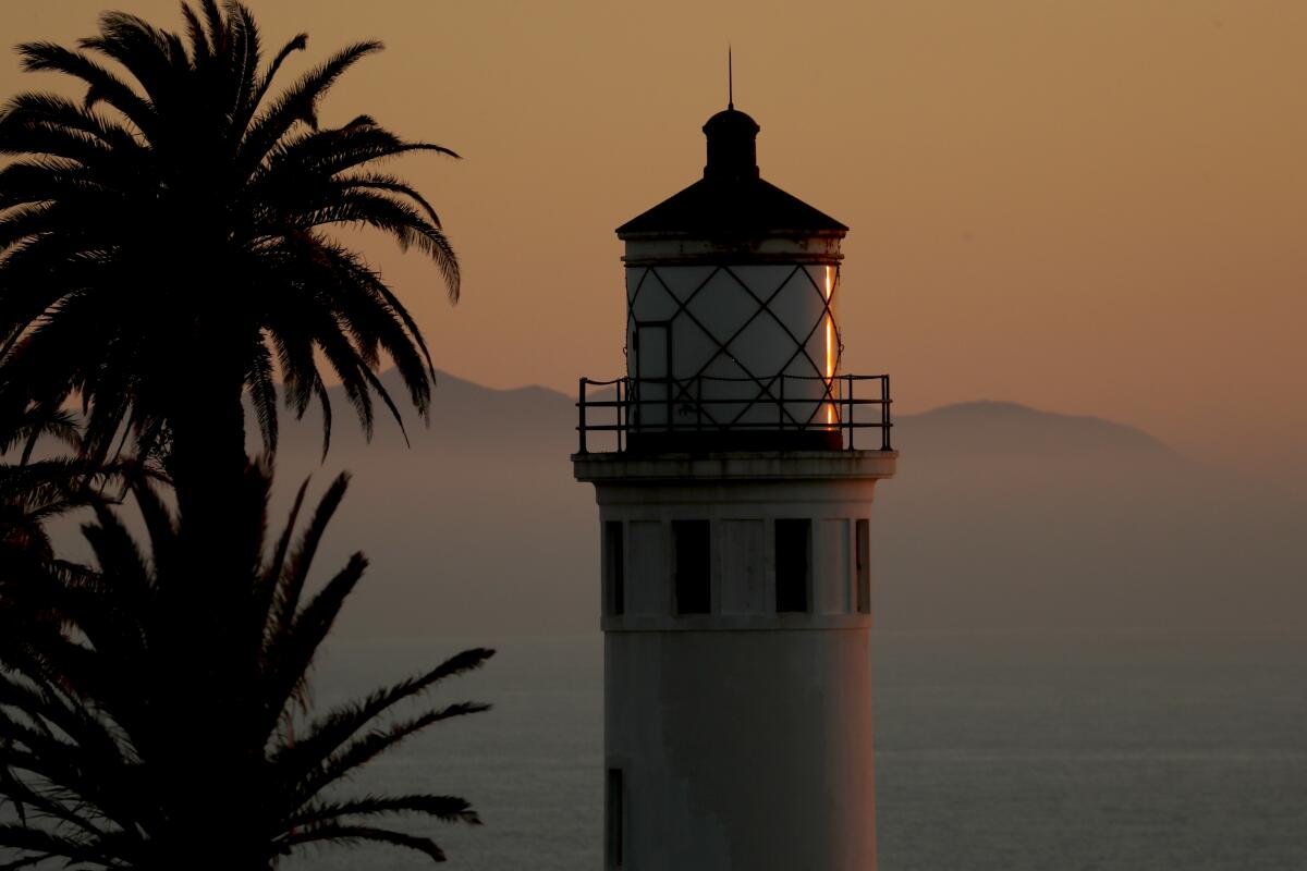
This small, unassuming pullout serves as a panoramic daytime coastal view over the peninsula and is one of the only public stargazing spots available for late-night Perseids viewing. Rancho Palos Verdes has relatively lower light pollution compared to other coastal L.A. cities. However, the stars must align — and not be blocked by the marine layer that often shrouds the picturesque town. Come early for sunset vistas here and at Del Cerro Park, which often has official stargazing parties but otherwise closes one hour after sunset.
How to get there: The overlook is just west of the intersection of Hawthorne Boulevard and Vallon Drive.
Parking: Small, paved pullout lot, free. Dog-friendly.
Red Rock Canyon State Park
Known for its geological gems and colorful canyons, the 27,000-acre space is home to arguably the darkest skies within two hours of the bright urban jungle of downtown Los Angeles. On a clear day with no moon, visitors may be able to see the Andromeda galaxy with the naked eye.
There’s also a campground ($25 a night, 50 primitive sites, first-come, first-served) at 2,600 feet nestled against the vibrant cliffs, for those who don’t want to head home (and why would you?). In addition to the beautiful buttes, hypnotizing hoodoos and other riveting rock formations, the park has some interesting history too. Once home to Kawaiisu Native Americans, it’s been the setting of a 19th century mining operation and dramatic film backdrops, including the TV show “Lost In Space.” For day hikes, Nightmare Gulch Loop (moderate) and Ricardo Campground South Loop (beginner) trails are recommended. Look for roadrunners in these badlands too.
How to get there: Take the 5 Freeway and California 14 north. Turn left onto Abbott Drive and follow signs for the park.
Parking: Paved lot, $6 a day. Dogs allowed at campgrounds but not on trails.
Crystal Lake Recreation Area and Campground, Angeles National Forest
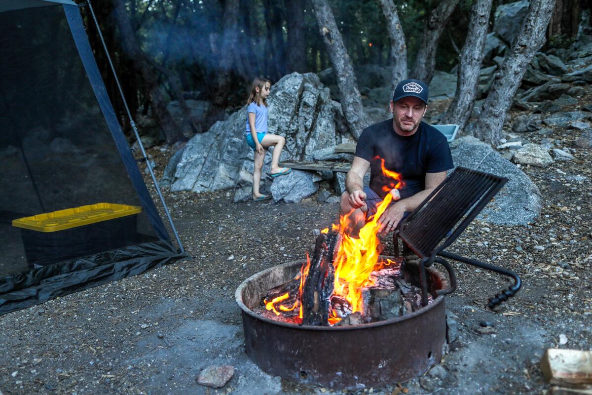
If you want to stay the night, head down the road to the Crystal Lake Recreation Area Campground, home to an impressive 50 first-come, first-served sites ($12 a night) located amid Jeffrey pines and oaks at 5,600 feet. Find the amphitheater for a nice seat during your stargazing visit. During the day, grab a bite at the Crystal Lake Cafe (breakfast burrito or Frito chili pie) and enjoy day treks to Mt. Hawkins and other peaks.
How to get there: Take the 210 Freeway to California 39 and drive north for 24 miles. Turn right onto Crystal Lake Road and follow signs for the lake and campground.
Parking: Paved lot, Adventure Pass required ($5 a day). Dog-friendly.
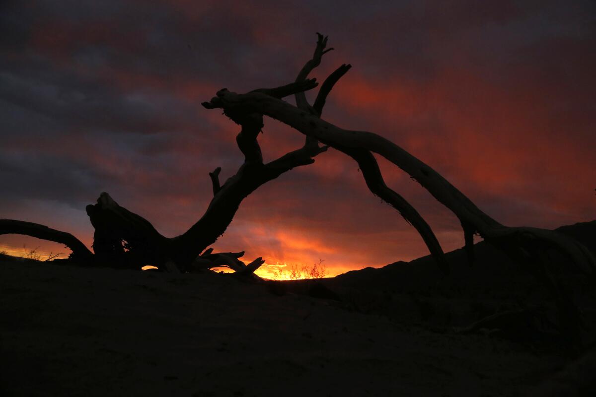
Mesquite Flat Sand Dunes, Death Valley National Park
The challenge is choosing where to post up within the park’s 3,422,024 acres. I like the Mesquite Flat Sand Dunes for its proximity to the park’s main road and the incredibly soft sand — perfect for lying on and gazing at the meteoric magic. But you can’t go wrong with whichever spot you choose.
If you’re looking to camp, head to Furnace Creek Campground and consider checking out the Perseids at nearby Harmony Borax Works, another popular stargazing destination in the park.
How to get there: From the town of Ridgecrest (which sits just off Highway 395), take CA-178 east for 14 miles. Continue onto Trona Road and Panamint Valley Road, heading northeast for 52 miles, then make a right onto CA-190. Continue east through the park for 30 miles and find the dunes (and parking lot) on your left just after Stovepipe Wells.
Parking: Paved lot. No dogs.
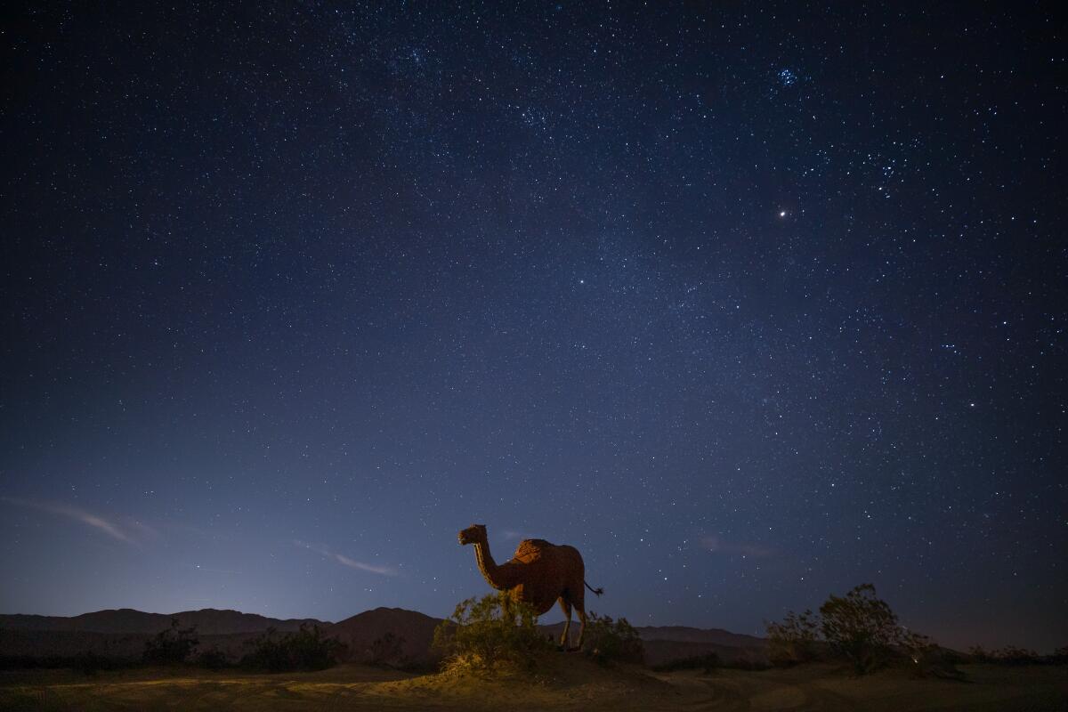
Anza-Borrego Desert State Park
Light pollution will be limited everywhere, but a great, accessible spot that doesn’t require 4WD to get to is Blair Valley. It’s popular with astronomers, thanks to the surrounding mountains that block out light, and offers better meteor viewing than nearby popular vistas like Font’s Point.
How to get there: From the historic town of Julian, take CA-78 east down the grade for just over 11 miles. Turn right on the S2 (Great Southern Overland Stage Route) and continue southeast for 6 miles. Turn left onto the dirt road, marked by a small sign for Blair Valley, and continue a mile to the campground (or find your own space nearby).
Parking: Dirt lot. No dogs.
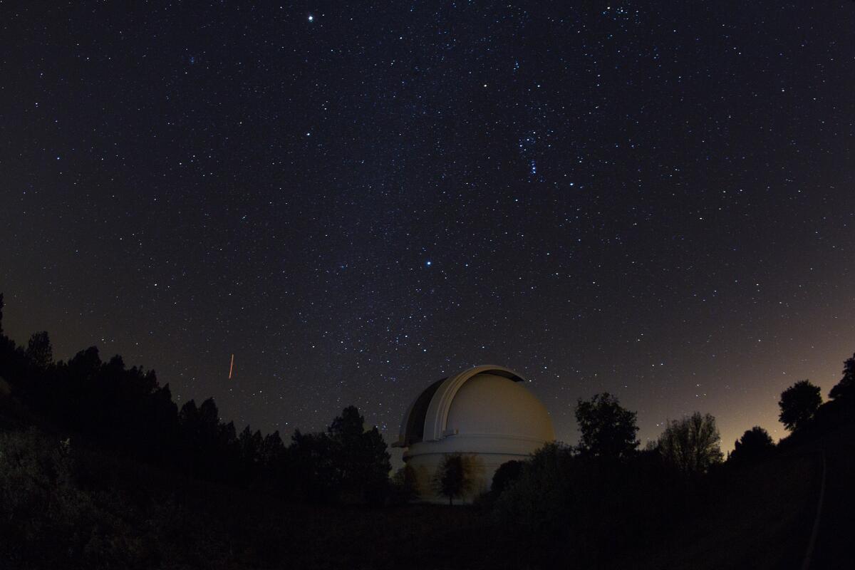
Palomar Mountain
Since the observatory is closed in the evening, opt to stay at the nearby Observatory Campground, which offers 42 sites between dense oaks and pines at an elevation of 4,875 feet. The trees are cleared at the sites so campers can get a clear view of the sky, and many even have concrete slabs for stargazers to set up their telescopes.
How to get there: From I-15, take CA-76 east for just over 20 miles. At the Oak Knoll Campground, look for signs for Palomar Mountain and take a slight left onto S Grade Road, which winds up the mountain for nearly 7 miles. At the four-way junction, continue on S Grade Road and head north for 2.5 miles — the campground wlll be on your right (Adventure Pass required for day use).
Parking: Paved lot. Dog-friendly.
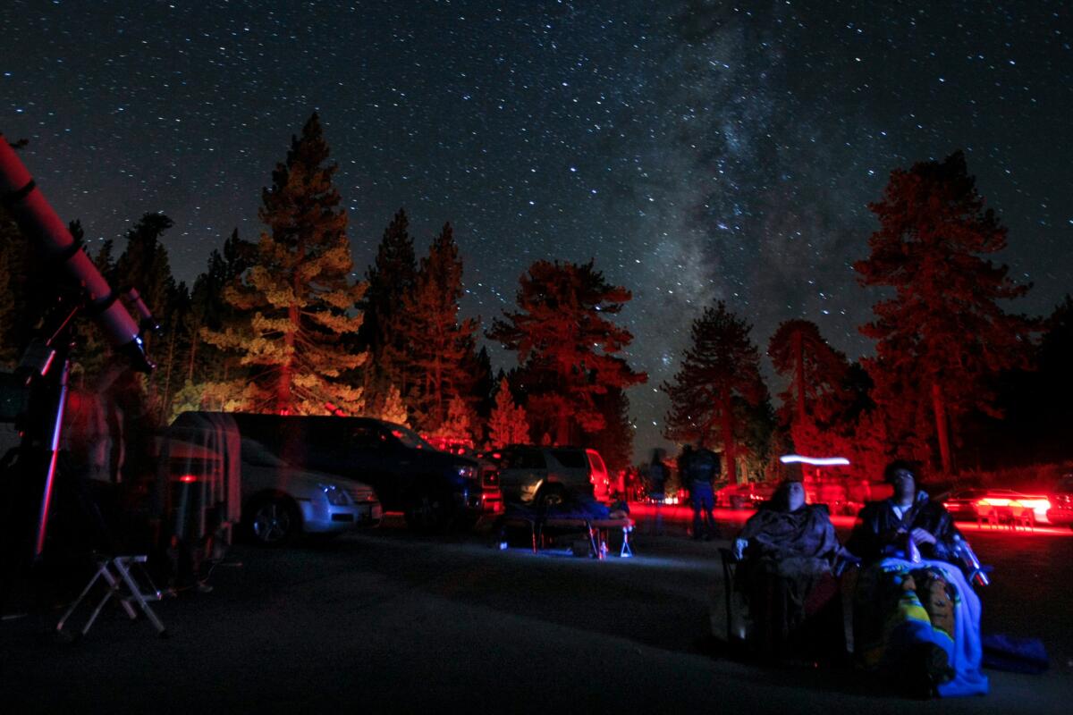
Chula Vista Campground, Mt. Pinos
You can also hike two miles (one-way) up to the summit of Mt. Pinos, which at 8,847 feet is the highest point in Ventura County and provides panoramic views of the San Joaquin Valley and Sierra Nevada, providing a perfect pre-Perseids stroll.
How to get there: From Frazier Park (just off the I-5), take Frazier Mountain Road west for 3.5 miles, continuing onto Cuddy Valley Road for another 5 miles. Keep left at the sign welcoming you to the national forest and continue for another 8.6 miles up the mountain — the road terminates at a large parking lot next to the campground.
Parking: Paved lot. Dog-friendly.
Sign up for The Wild
We’ll help you find the best places to hike, bike and run, as well as the perfect silent spots for meditation and yoga.
You may occasionally receive promotional content from the Los Angeles Times.


