Armenia is emerging as a hiking destination. It’s not quite there, but oh, the views
My son, Marc, and I had tromped through shin-deep snow for several hours, and by the time we reached the blustery top of the peak, we couldn’t see more than 25 feet because of a whiteout.
Somewhere in front of us was a deep crater and the surrounding peaks of a volcanic rim we had hoped to reach. But as we stood on one of the highest peaks in the Armenian Caucasus Mountains, we were satisfied we had made it this far.
For much of the last century, nobody would have considered the former Armenian Soviet Socialist Republic a hiking destination.
But a few decades of independence and a strengthening democratic government have given the little nation a growing reputation as an interesting, safe hiking place. We met hikers from France, England, Canada, Belgium and Australia in just a few days on the trails.
Similarities, differences

Smithsonian magazine earlier this year identified Armenia as one of the next world-class hiking destinations.
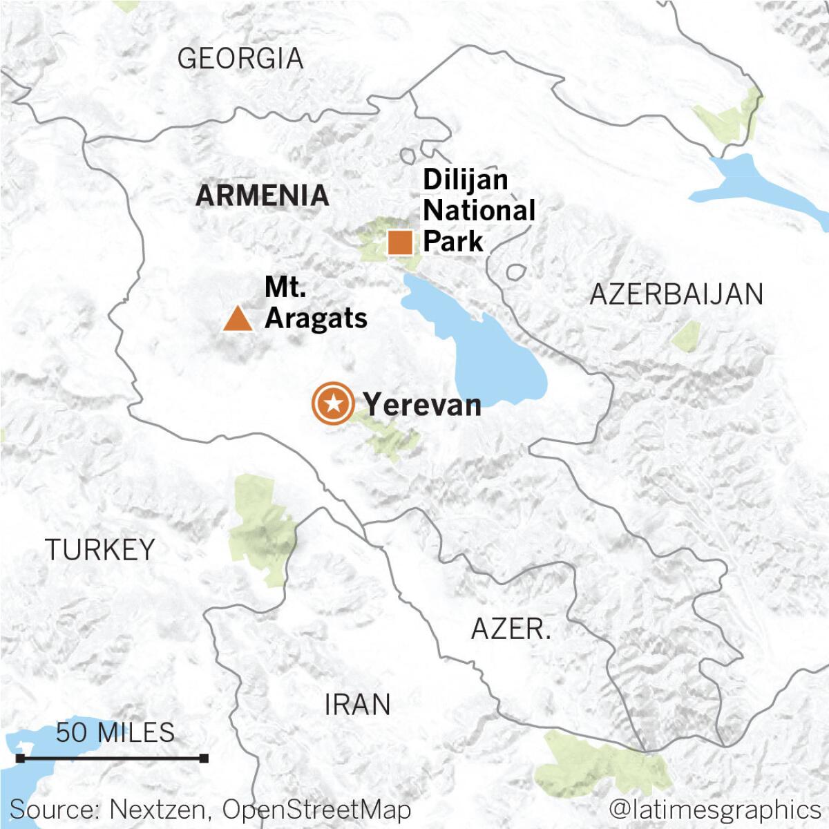
The country’s beautifully wooded Dilijan National Park resembles Great Smoky Mountains National Park. The plateaus of volcanic Mt. Aragats look something like the Sierra Nevada’s high country, with its barren igneous rock, gravelly slopes and snow-covered peaks.
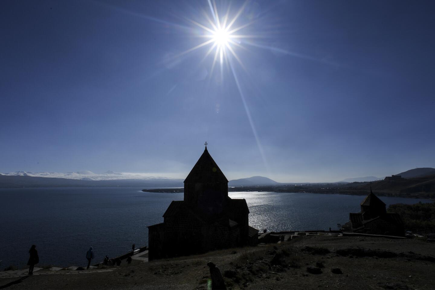
Lake Sevan is twice as large as Lake Tahoe and a thousand feet higher in elevation. Though its waters don’t have the clarity that makes Tahoe so spectacular, you won’t find a traffic jam around the lake’s perimeter or dense neighborhoods of mansions.
What the country lacks in affluence is offset by the warmth of the people, whose identity is anchored to its long history. Yerevan, the capital, was founded in 782 B.C., decades before Rome. Between hikes, you can visit ancient temples and some of the oldest Christian churches in the world.
But anyone who frequents California’s well-traveled mountains would find a few surprises and challenges in hiking or climbing in Armenia.
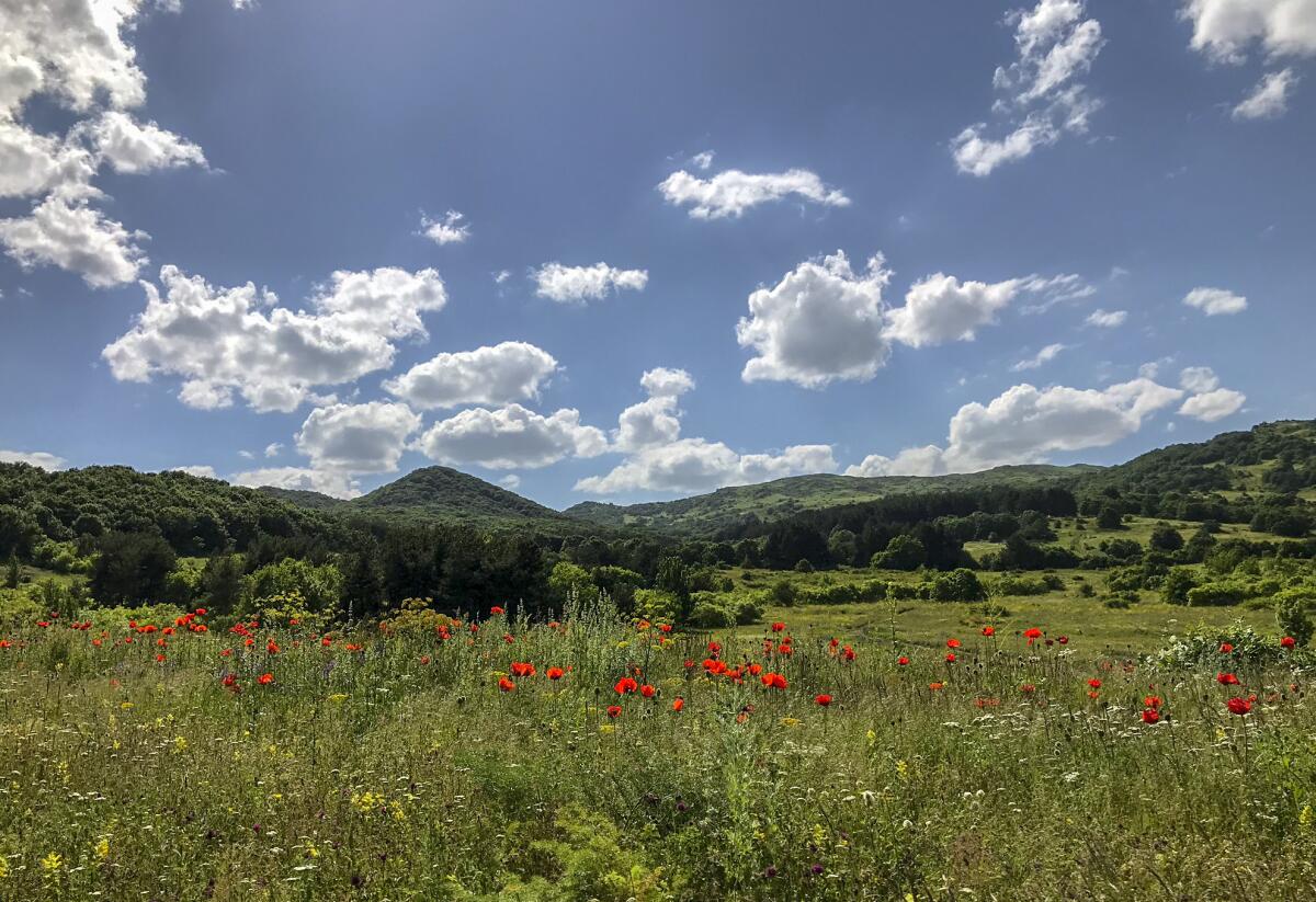
You often will not find marked trail heads. The weather will be unpredictable. The flora will be foreign. You might end up driving your rental car across a boulder- strewn mountain river to get near a trail. If you find a topographic map, it will probably be written in Armenian — which doesn’t use the Latin alphabet.
Just how surprising traveling around Armenia could get dawned on me when Marc and I rented a car in early June in Yerevan, and the rental agent warned me that my California driver’s license wasn’t strictly legal.
If I was stopped by police, he said, just offer money. How much, I asked? About $10 would be more than enough. Now that’s the kind of advice you don’t get at a U.S. rental counter. Fortunately, it wasn’t needed.
Just to get to Armenia requires a long flight that takes you to a place that’s 11 hours ahead of California. That’s important in planning strenuous hiking, because it takes awhile to get over that day-to-night jet lag.
But the country rewards those who make the effort. It will be a liberating experience from the crowded trails, packed parking lots and scarce back-country permits in California. In fact, you won’t need any permits in Armenia.
Time to hike
I had long searched for a good reason to visit Armenia. As I grew up in Detroit, my father often reminisced about growing up in the Caucasus Mountains in the early 20th century. Marc had just completed graduate school and had a one-week window to join me in Armenia. He spent a week surfing in Indonesia and flew west, and I flew east.
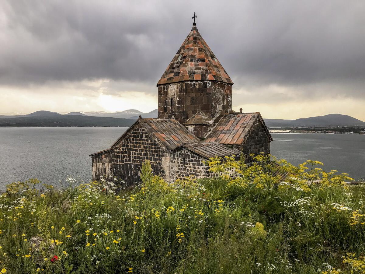
After a day of exploring Yerevan on foot, we planned for three or four days of hiking. On the way to Dilijan National Park, we stopped at the Sevanavank Monastery, two 1,100-year-old stone churches overlooking Sevan Lake.
We also did two hikes in Dilijan, one to pleasant back-country Gosh Lake, along the Transcaucasian Trail, or TCT. We met a Canadian hiker at the lake, who seemed lost. He joined us, and we gave him a ride back to the city of Dilijan.
A few days later, I met park superintendent Armen Abrahamyan at the park’s headquarters just outside Dilijan. The park now has 124 miles of trails, about half of them on the TCT, he said. Some of them are Jeep roads, although we didn’t encounter vehicle traffic on our hikes. The TCT will eventually extend from Georgia through Armenia, covering 1,864 miles and connecting existing and future national parks.
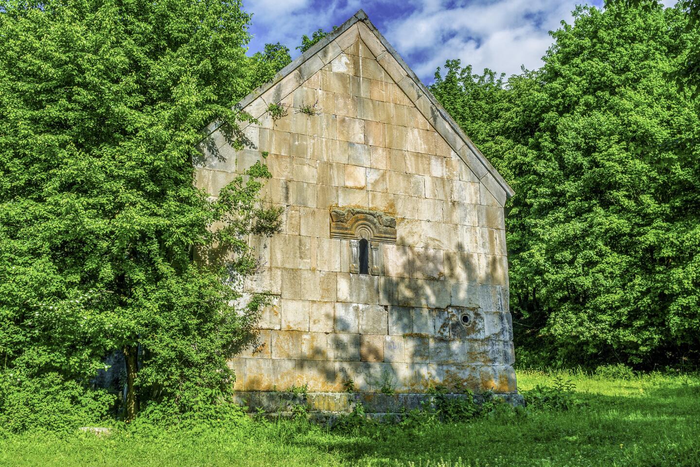
The second hike took us to the ruins of the 11th century Jukhtak Monastery, deep in a forest. I imagined how people, isolated from the rest of the world, would hike to that mountaintop 1,000 years ago. It seemed such a far cry from driving to a church parking lot these days.
The main objective of our trip was Mt. Aragats, the highest peak in the country, about an hour’s drive east of Yerevan.
I found a crude digital topographic map of Aragats on the internet that a graphic artist at The Times was kind enough to print. I wasn’t sure there was an actual trail, and we didn’t have time to find our own route.
I quickly realized we would need a guide. A hiking brochure, produced under the sponsorship of the U.S. Agency for International Development, advised guides for many of the much less ambitious hikes in Armenia. The only problem was finding a good one.
I talked with Armenian travel agents, Armenian journalists and Armenian aid officials. I found hiking guides online and tried to email them. I talked with a couple of guys with the Armenian Hiking Society whom I’d met on the Sam Merrill Trail above Altadena.
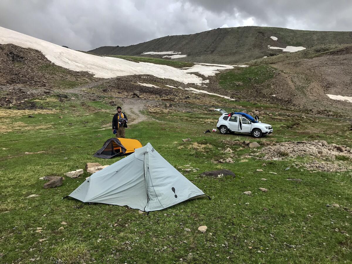
It wasn’t until I got to Armenia that things fell into place and I met Hovik Mizrakyan, a jewelry designer and strong hiker affiliated with FindArmenia.com. Marc and I camped the night before at sub-alpine Kari Lake. There were no fire pits, picnic tables, fee stations or infrastructure you’d expect when car camping. Mizrakyan would meet us the next morning.
We met a group of Belgians camping nearby, led by Nver Avetisyan, a friendly mountain guide. He drove the only Dodge Caravan we saw on our trip. (“I like American cars,” he said.) He invited us into his dining tent for some tea and coffee. We brought a bag of ripe cherries we had bought earlier and talked about the future of democracy in Armenia.
Mt. Aragats has four peaks, the highest being the North summit, at 13,420 feet. It was still snow-covered in mid-June and would have required a 6,000-foot vertical climb in one day or an overnight stay in the crater. Either way, we would be traversing deep, soft snow.
The weather wasn’t cooperating. The Caucasus Mountains can be unpredictably stormy, with violent lightning. In the morning, the storm clouds roiled. So we nixed climbing Aragats North and chose the much tamer Aragats South, at 12,756 feet. We weren’t disappointed.
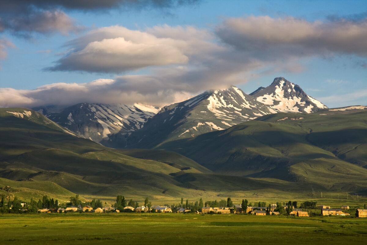
Our hiking trip barely scratched the surface of what Armenia’s four national parks have to offer. I ran out of time before we could get to Arevik National Park along the southern border. Maybe some day I’ll try again for Aragats North, knowing I’ll need more time.
Even in the Sierra, you sometimes have to try more than once to reach a peak.
If you go
THE BEST WAY TO YEREVAN, ARMENIA
From LAX,
From LAX, Aeroflot, Air France, Qatar, Austrian, Lot, KLM and Delta offer connecting service (change of planes) to Yerevan. Restricted round-trip fares start at $1,122, including all taxes and fees.
TELEPHONES
To call the numbers below from the United States, dial 011 (the international calling code), 374 (the country code for Armenia) and the local number.
My Verizon iPhone would not work in Armenia. My son’s AT&T iPphone worked fine. Be sure to arrange an international calling plan before you leave.
WHERE TO STAY
Ibis Yerevan Center Hotel, 5/1 Northern Ave., Yerevan: 10-59-59-59. Discount European hotel; doubles from $65.
Avan Dzoraget Hotel, 1st Street, Building 127, Village Dzoraget; 93-94-78-89. Awesome hotel north of Yerevan. Part of the Tufenkian Heritage Hotels chain. Doubles from $151.
WHERE TO EAT
Lahmajun Gaidz, 5 Nalbandyan, Yerevan; 77-33-21-18. Terrific lunch fare (we tried lamb and beef lahmajun, a kind of Armenian pizza) just off Republic Square. Lunch for two was less than $10.
For the hikes, we had brought energy bars with us. When we camped, we bought some shawarma wraps (meat wrapped in pita).
GEAR
If you are planning to day hike, you’ll obviously want the standard equipment: day pack, lightweight boots, good rain gear, water bottles, sunscreen and lots of moisture-wicking clothes. If you are backpacking, keep in mind that camping stove gas will be difficult to find and that you can’t take it with you on the plane.
TO LEARN MORE
Follow me on Twitter @rvartabedian
Sign up for The Wild
We’ll help you find the best places to hike, bike and run, as well as the perfect silent spots for meditation and yoga.
You may occasionally receive promotional content from the Los Angeles Times.

