Climate change will bring more strong El Niños. Here’s what that means for California
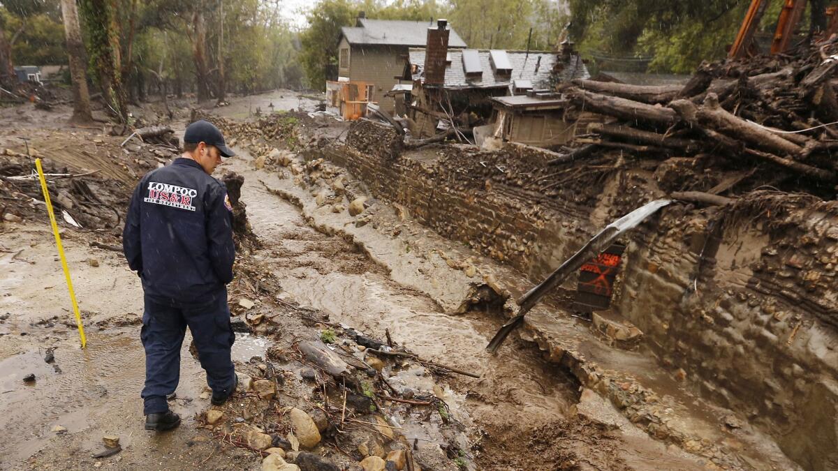
California is no stranger to extreme weather. The last decade has brought crippling droughts and dam-busting deluges. And climate change is only making the situation worse by turning up the heat during the dry season and supercharging storms during the wet season.
Now, a new study suggests rising temperatures also will increase the frequency of strong El Niño events, which often bring pummeling rains across the state.
“This adds to the evidence that what we’ve experienced in California over the last several years is consistent with what we can expect from global warming,” said Noah Diffenbaugh, a climate scientist at Stanford University who was not involved in the study.
El Niño is the warm phase of the El Niño-Southern Oscillation, or ENSO, a powerful natural source of climate variation. The action takes place in the tropical Pacific, but it affects weather patterns around the world.
Under normal conditions, warm water pools in the western part of the ocean basin near Papua New Guinea and Indonesia, making this the center of intense evaporation and rainfall.
During an El Niño, however, warm water — and the accompanying rainfall — migrates east toward the shores of South America. This causes ocean temperatures to spike in the central and eastern Pacific and changes atmospheric circulation, including the position of the jet stream.
In places like Australia, strong El Niños bring extreme drought and heat waves that cause crop failures and coral bleaching. In Indonesia, they have triggered catastrophic wildfires; in Peru, fish die-offs and seabird mortality.
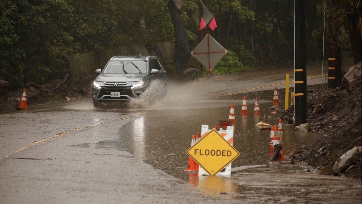
In the American West, big El Niños are more of a mixed blessing: They provide much-needed rainfall — but often in torrential bursts.
For decades, scientists have struggled to understand how ENSO will change in a warming world. The climate models they rely on seemed to give mixed results, particularly for strong El Niños.
A group of researchers led by Wenju Cai, a climate scientist at the Commonwealth Scientific and Industrial Research Organisation in Australia, has finally figured out why.
Cai and his colleagues from around the globe examined 34 different climate models and tracked how each one simulated future changes in the Pacific Ocean. In the real world, scientists tracking ENSO monitor temperatures in one spot at the center of the warm pool that sets up in the eastern tropical Pacific during intense El Niños. So that’s where they looked in the models, too.
The insight in the new study was to look at the temperature change at the point of maximum warming, regardless of exactly where it occurred. This produced a striking degree of agreement not seen in earlier results.
More than two-thirds of all 34 models projected that, if greenhouse gas emissions — and temperatures — continue to rise, conditions in the eastern Pacific would become more variable, meaning ENSO will too. The consensus was even stronger among the models that realistically simulate El Niño, with 15 out of 17 showing greater future fluctuations, the team reported Wednesday in the journal Nature.
Since more variability means more extremes, the models also predict a nearly 50% jump in the frequency of strong El Niño events.
The reason is that climate change has already begun to warm the eastern Pacific more than the western Pacific, and the upper ocean more than the deeper ocean, Cai said. Together, these changes shift atmospheric circulation in a way that reinforces El Niño conditions.
“In all models, we see this,” he said.
In a commentary also published Wednesday in Nature, Yoo-Geun Ham of Chonnam National University in South Korea called the study a “breakthrough” that represented “a milestone in climate research.”
The new results could have major implications for California.
ENSO isn’t the only predictor of the state’s weather, Diffenbaugh said. But “knowing the El Niño state will give you more of a hint about the coming year than any other single piece of information.”
The impacts depend on what “flavor” of El Niño occurs. Moderate events, in which the warm water pool winds up in the center of the Pacific, are not clearly associated with extreme precipitation changes in California. But strong events, of the sort Cai’s research suggests will increase, can have devastating consequences for the state.
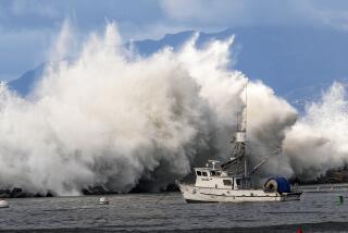
An exceptionally strong El Niño in the winter of 1982-83 brought a train of destructive storms that smashed the coastline, triggered floods and landslides, and left the state with $2 billion in damages.
During another El Niño in 1997-98 — the strongest one on record — 7 inches of rain fell on Orange County in a single day, and dozens more fell across the state in the ensuing months. By the end of the season, 36 people had died.
In general, El Niño affects California weather by influencing whether a ridge of high pressure sets up in the atmosphere and blocks storms from hitting the state, Diffenbaugh says. If that ridge is absent, a few intense events — in which so-called atmospheric rivers deliver huge amounts of precipitation in the span of a few days — often account for most of the state’s annual rainfall.
“Are those atmospheric rivers getting blocked or not?” Diffenbaugh said. “That’s essentially what makes a wet year or dry year in California.”
Strong La Niñas, which usually follow, contribute to drought.
The new results square with other recent studies that foreshadow a future of increased water extremes for California under climate change.
Work by Diffenbaugh and others suggests that atmospheric patterns that block storms will become more common, and that these dry spells will still be punctuated by very wet years. This will present real challenges for water managers, Diffenbaugh said.
California’s water infrastructure relies on the state’s snowpack, which gradually melts in the spring and summer, and on dams that provide both flood control and water storage. But projected changes will increasingly bring these goals into conflict.
Intense storms, and an increase in the proportion of precipitation that falls as rain rather than snow, raise the risk of floods.
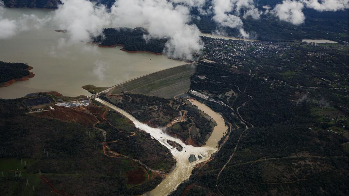
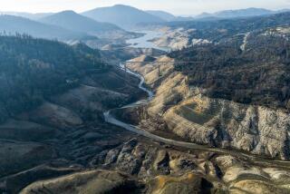
As in the 2017 Oroville Dam crisis, managers will have to release water to prevent reservoirs from overflowing — or collapsing. But that reduces the supply of water available later, after the rain stops. And that supply will become increasingly critical as climate change amplifies droughts.
Experts say the state must take a new approach to managing water in the future.
One part of the solution may be to store more water underground, rather than in reservoirs, Diffenbaugh said. Projects to replenish groundwater have already sprung up from Sacramento to Los Angeles, where managers use spreading ponds to let surface water percolate down through the soil, or inject it directly into aquifers.
Efforts like the Central Valley Flood Protection Plan also call for restoring riparian ecosystems to limit the damage from intense runoff.
California’s water treatment plants and storm water system will be stressed by increasingly volatile weather too, said Jamesine Rogers Gibson, a climate analyst at the Union of Concerned Scientists who studies California.
Rogers Gibson said California is at a crossroads.
“Our existing infrastructure is reaching the end of its useful life and needs to be replaced,” she said. “We have the opportunity to build for the future.”
What that future brings will depend largely on whether the world takes meaningful steps to address climate change in the next few decades.
The models in Cai’s study followed scenarios in which the world did not reduce greenhouse gas emissions, and warming continued on its current trajectory. But taking more aggressive action would reduce ENSO variability, and many of its impacts in California and beyond.
“I think that mitigation always can make a difference,” Cai said. “Always.”
