Hurricane Barry weakens into a tropical storm, but officials warn there’s more to come
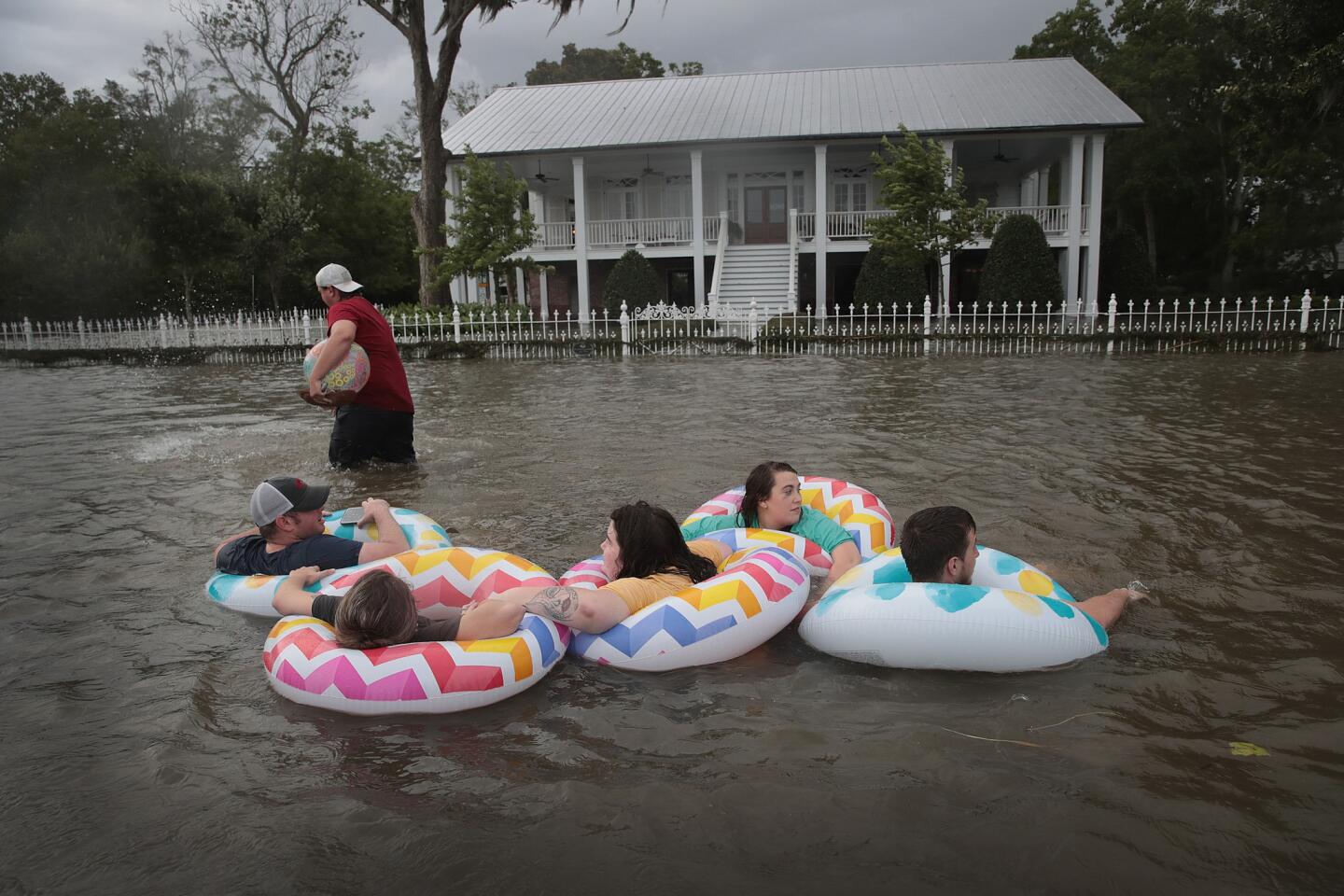
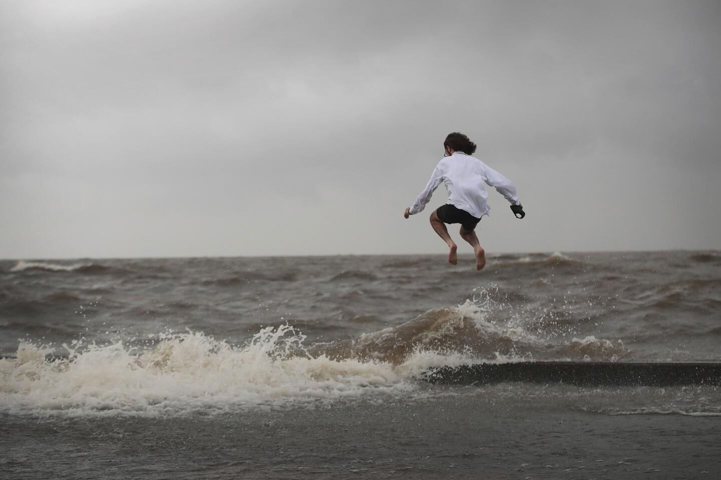
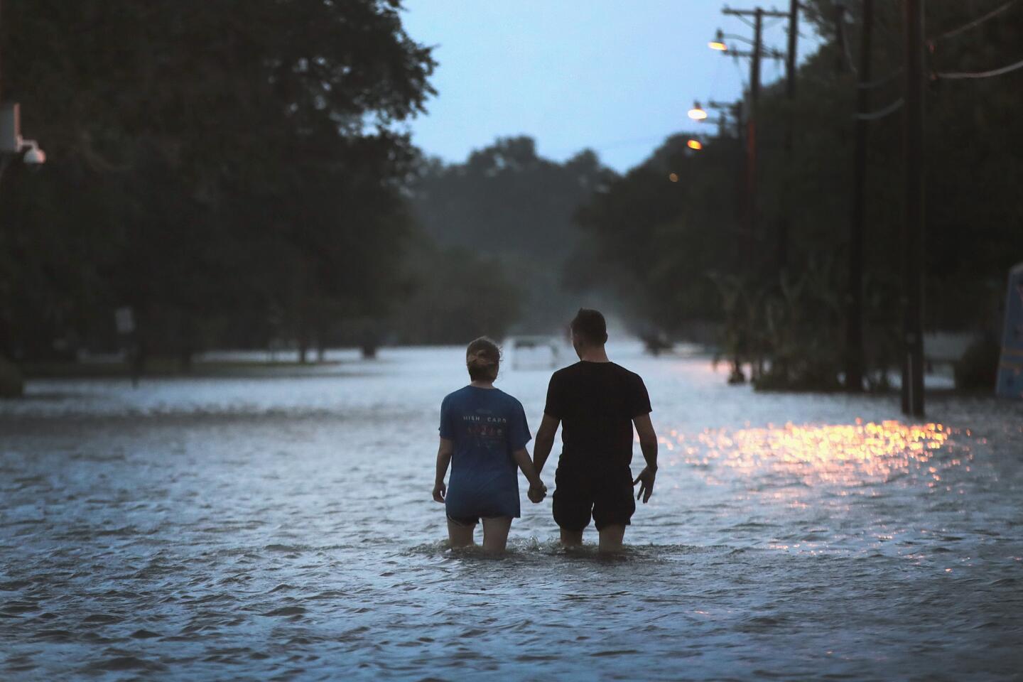
Reporting from New Orleans — After making landfall on Louisiana’s Gulf Coast on Saturday as a Category 1 hurricane, Barry swiftly weakened to a tropical storm as it buffeted this fragile, low-lying region with an onslaught of water and wind that downed power lines, flooded coastal highways and trapped some residents in their homes.
The storm hit farther west than meteorologists expected, and by the end of the day many parts of Louisiana had yet to see a heavily hyped deluge of rain.
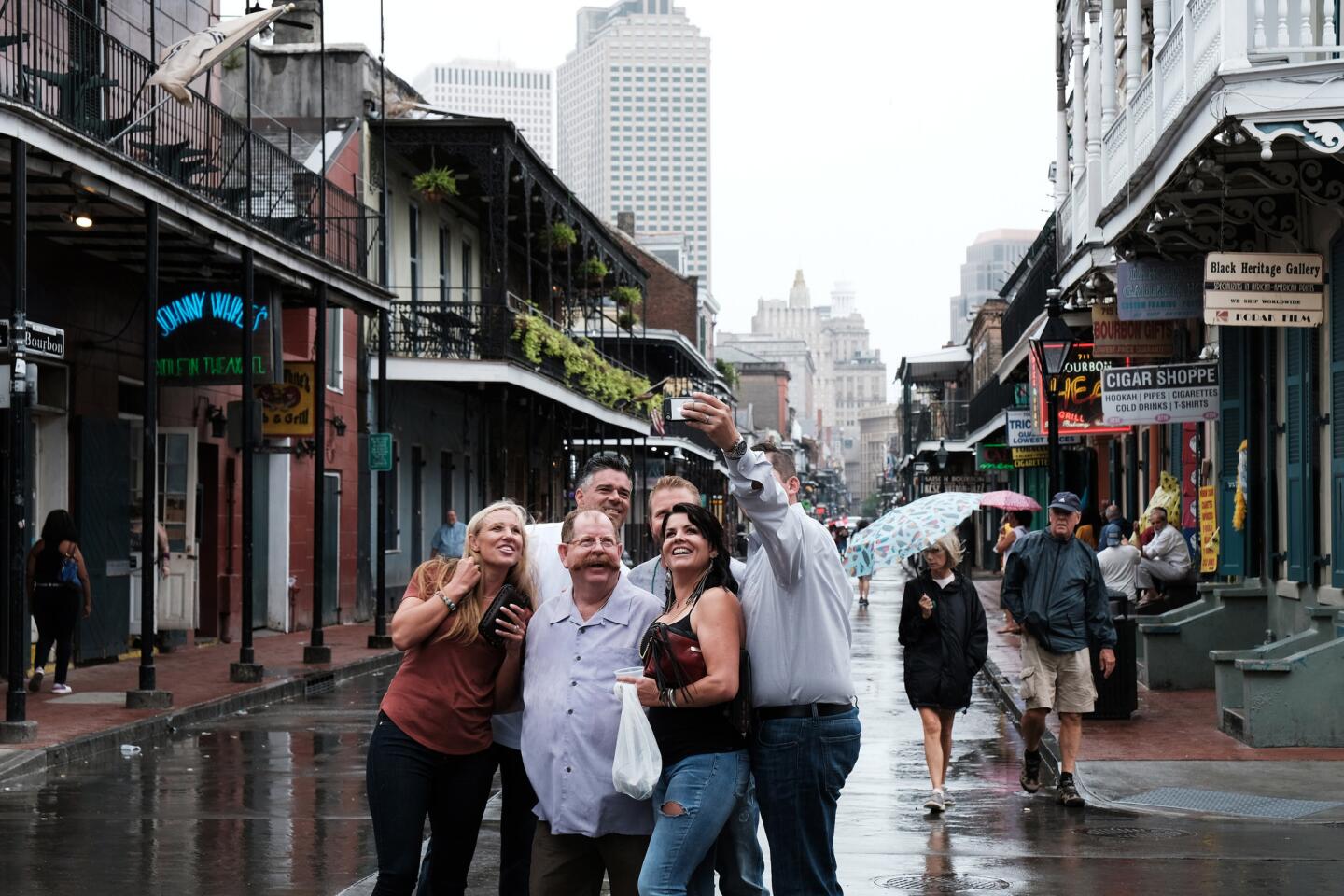
By dusk, New Orleans had seen only drizzle, and a smattering of revelers in plastic ponchos continued to stroll along Bourbon Street swigging rum daiquiris and hurricanes. Officials urged residents not to be complacent: Most of the rain bands were concentrated in the southern half of the storm, they warned, and the bulk of the rain was not likely to drop until late into the night.
“This is just the beginning,” Louisiana Gov. John Bel Edwards said at an afternoon news conference in the capital, Baton Rouge. “I ask everyone to be vigilant and stay safe. The vast majority of the rain that is falling now is falling in the gulf, but that will change.… It’s going to be a long several days for our state.”
While Barry churned about 55 miles northwest of Lafayette Saturday evening with maximum sustained winds of 60 mph, New Orleans officials sent out a barrage of alerts via text messages that warned of heavy rainfall of 3 to 4 inches an hour and flash floods across the city.
At the same time, some meteorologists scaled back their rain forecasts.
For days, the National Hurricane Center predicted that the slow-moving storm could dump about 10 to 20 inches of rain across south-central and southeast Louisiana and southwestern Mississippi, with some isolated pockets getting as much as 25 inches.
Phil Grigsby a forecaster with the National Weather Service in Slidell, La., said late Saturday that New Orleans would likely see only 7 or 8 inches of rain rather than 10 to 20 inches.
Still, Barry wreaked widespread damage along Louisiana’s coast, leaving 100,000 customers without power and overtopping levees that protect rural communities in Plaquemines, St. Mary and Terrebonne parishes.
Before dawn Saturday, nearly a dozen residents were stranded on Isle de Jean Charles, a slender strip of land about 50 miles southwest of New Orleans that was already sinking due to wetland erosion and rising sea levels. At 4:30 a.m., the Coast Guard received a distress call that several families were trapped on Island Road as water came up to the roofs of their homes.
Helicopters rescued 11 people — more than a quarter of the island’s population — and two cats, said Lexie Preston, a spokesman for the Coast Guard. Most of the island’s residents had evacuated ahead of the storm.

In Plaquemines Parish, about 45 minutes south of New Orleans, Louisiana Lt. Gov. Billy Nungesser got a call at 6 a.m. reporting that floodwaters were rushing over the top of a levee in Myrtle Grove.
The area was already under a mandatory evacuation, but Nungesser, a former Plaquemines Parish president, put on his white shrimp boots and went door-to-door in Ironton, a poor, largely minority community, in an effort to make sure no residents were left behind.
Nungesser said he feared that the levee would withstand only a few hours of overtopping before it breached.
A short while later, officials to the west in rural Terrebonne Parish issued a mandatory evacuation for areas along state Highway 315 and south of the Falgout Canal after the overtopping of a levee. Residents were advised to seek refuge in a shelter at an auditorium in Houma, and to bring enough food, water and supplies for three days.
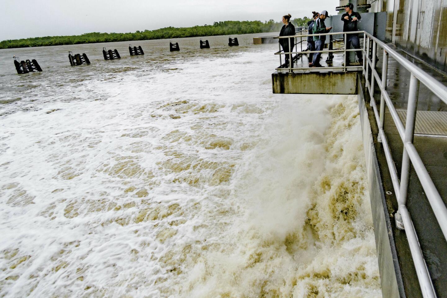
Yet state officials remained confident that the levees protecting New Orleans would hold up. Over the last week, many feared that the Mississippi River, already swollen from months of unusually high rainfall, would overtop the levees protecting the city. But late Friday the National Weather Service announced that the risk of overtopping was minimal: The storm surge had already passed, and the river would crest on Monday at 17.1 feet — 2 feet lower than previously predicted. The levees protect up to 20 feet.
“No Mississippi River levee has been overtopped and not a single levee in the state of Louisiana, as of now, has failed or breached,” Edwards said Saturday.
Even before the storm made landfall, Frank “Boo” Grizzaffi, mayor of Morgan City, a town of 12,000 about 70 miles west of New Orleans, said the winds were causing havoc.
Around 4 a.m., heavy gusts of winds began to knock tree limbs and electrical poles to the ground, he said, leaving nearly a third of homes and businesses without power.
“It’s still dangerous out there — limbs all over the street,” Grizzaffi said. “And the worst is yet to come.”
Already, a Morgan City fire crew had traveled across the Atchafalaya River to rescue a woman in the neighboring town of Berwick after a live power line fell on top of her trailer, trapping her inside.
By late afternoon, more than 120,000 Louisiana customers were without power.
About 3,000 National Guard troops were activated across the state — more than a third of them in the New Orleans area — poised to respond to emergencies with boats, helicopters and high-water vehicles.
Still, with about half of this historic Deep South city below sea level, residents were unsure how their complicated flood protection system of pumps, catch basins and drainage canals would hold up.
Since Hurricane Katrina devastated the Gulf Coast in 2005, leaving an estimated $151 billion in damage and more than 1,800 dead, local, state and federal officials have spent about $20 billion bolstering levees, flood walls and drainage pumps in an effort to protect the city from storms.
But many residents were uneasy, pointing out that heavy thunderstorms on Wednesday flooded streets across the area. The historic neighborhood of Treme received more than 8 inches of rain in three hours, and water seeped into barber shops, dry cleaners and restaurants.
“They keep saying the pumps are working,” said Melvin Benoit, a chef at Willie Mae’s Scotch House who lives in Treme. “But it doesn’t seem like they’re working.”
As a light rain fell Saturday afternoon, the streets were mostly desolate in the Lower 9th Ward, which suffered catastrophic flooding in 2005 after Hurricane Katrina.
“It’ll be all right; I’m not worried,” Nativva Wright, 40, said as she perched on a black milk crate at the Fuel Express Mart gas station on North Clairborne Avenue to eat a sausage and cheese sandwich. “We’ve been through enough when the levees broke. We can’t afford no more problems.”
Wright’s father had taken her children to his home about 10 minutes away.
“If it gets bad, I’ll call my daddy and he’ll come get me,” she said. “I can’t swim in the water.”
Latoya Bridges, a 24-year-old customer service worker at the airport, was not willing to leave anything to chance. She had booked a hotel in the French Quarter, but could not persuade her parents to leave the Lower 9th Ward and join her.
“They just want to ride it out over here,” she said with a sigh after picking up last-minute supplies — soda and Dubble Bubble gum — and buckling her youngest son into his car seat.
Around the corner, in a pink two-story home built high on pilings and facing the flood wall of the industrial canal that breached during Katrina, Cheryl Conerly, 55, said she had stockpiled portable fans, lights and radios. But standing on her porch hours after the storm had made landfall, she had a feeling she wasn’t going to use them.
“Baby, ain’t nothing going to happen,” she said. “I feel in my heart it’s not going to come here. We good. We fixing up to crank up the party.”
Officials were anxiously monitoring swollen rivers in the storm’s path. The Comite River’s crest, Edwards said, could be as high as it was in August 2016, when the Baton Rouge region experienced calamitous flooding that killed 13 people.
Times staff writer Molly Hennessy-Fiske in Houston contributed to this report.
More to Read
Sign up for Essential California
The most important California stories and recommendations in your inbox every morning.
You may occasionally receive promotional content from the Los Angeles Times.
