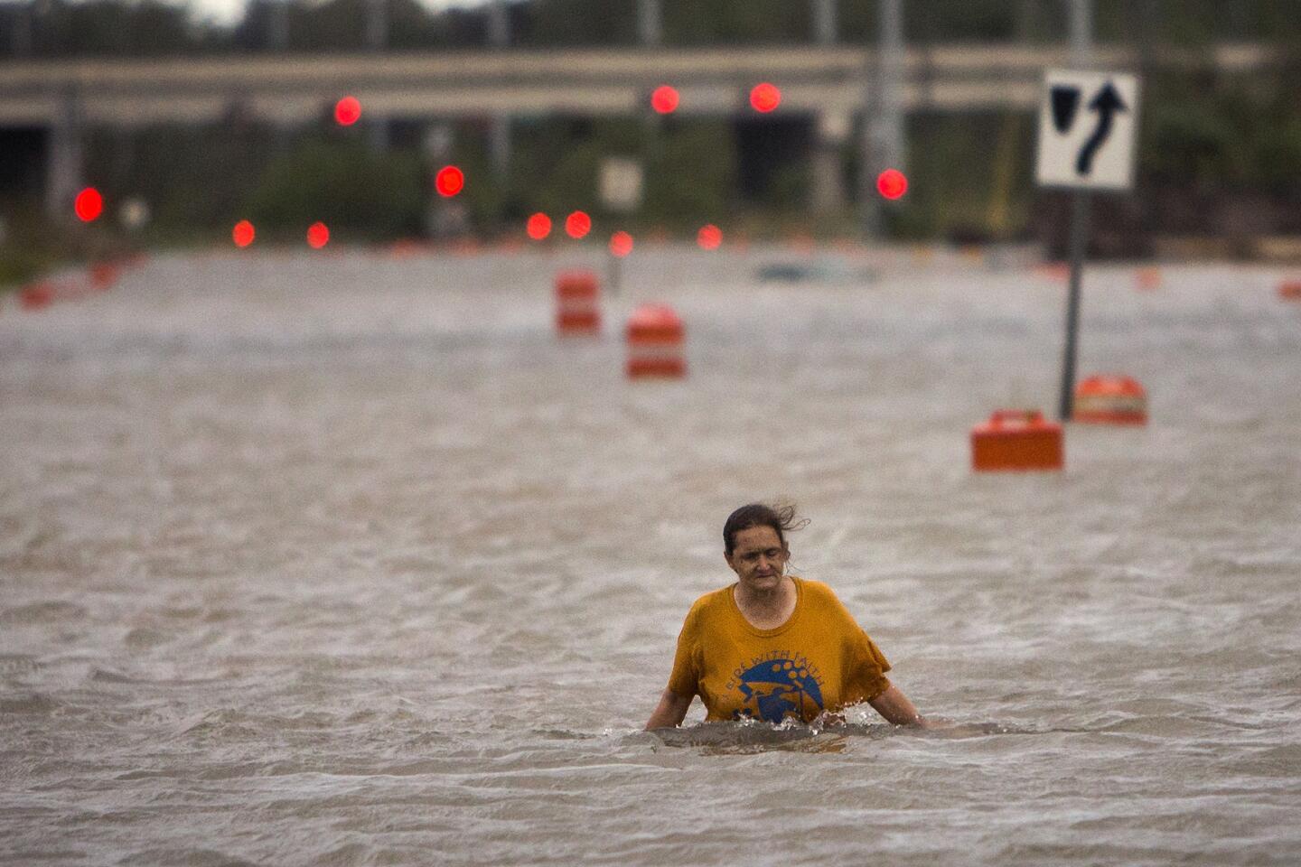
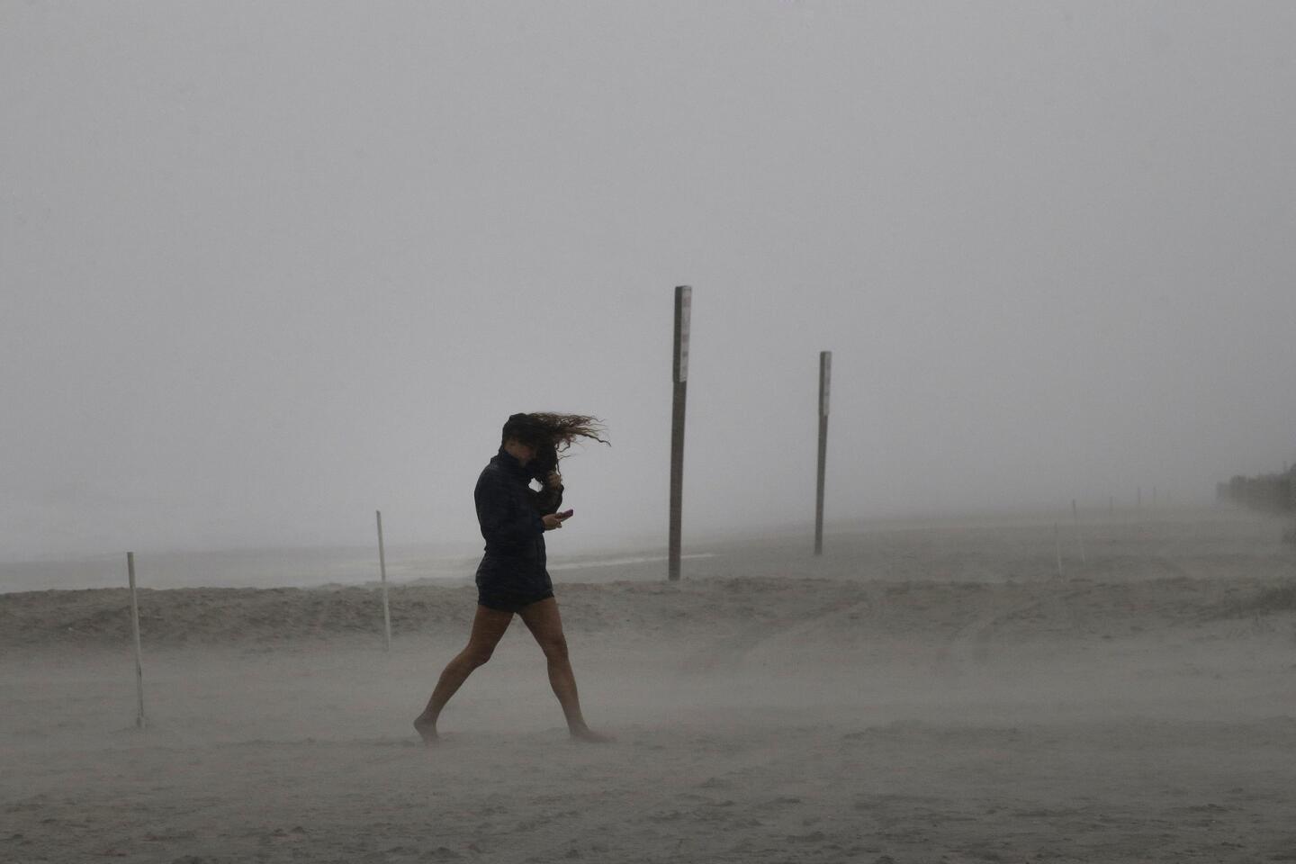
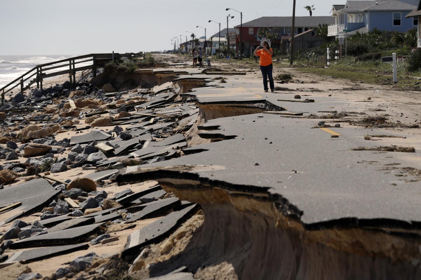
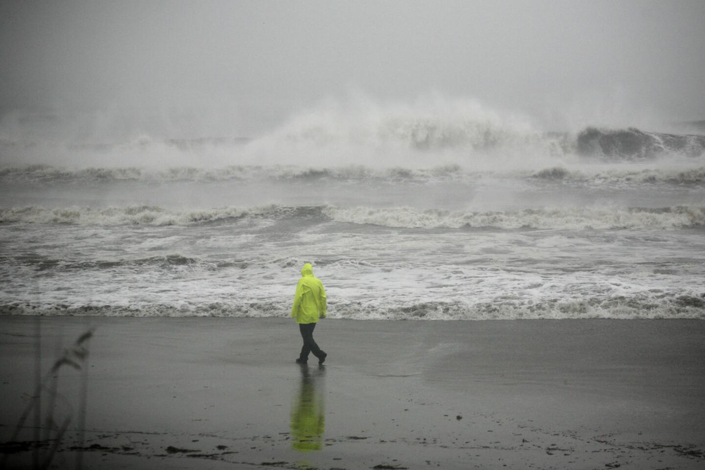
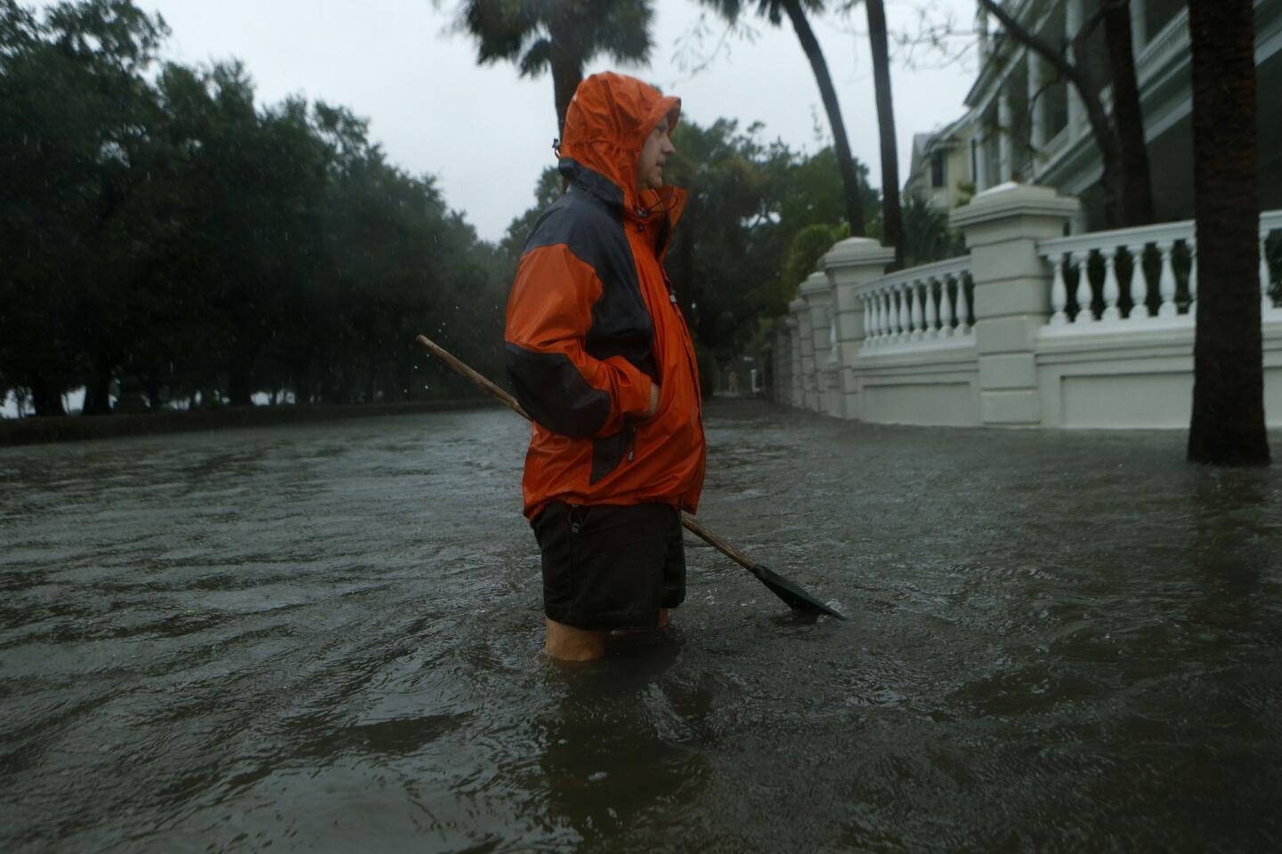
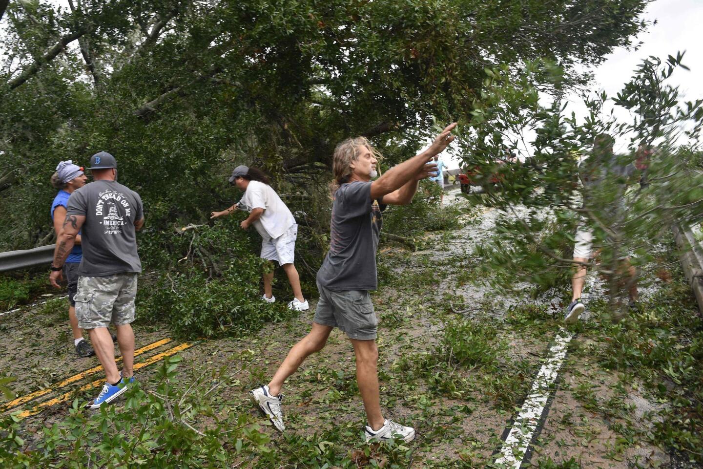
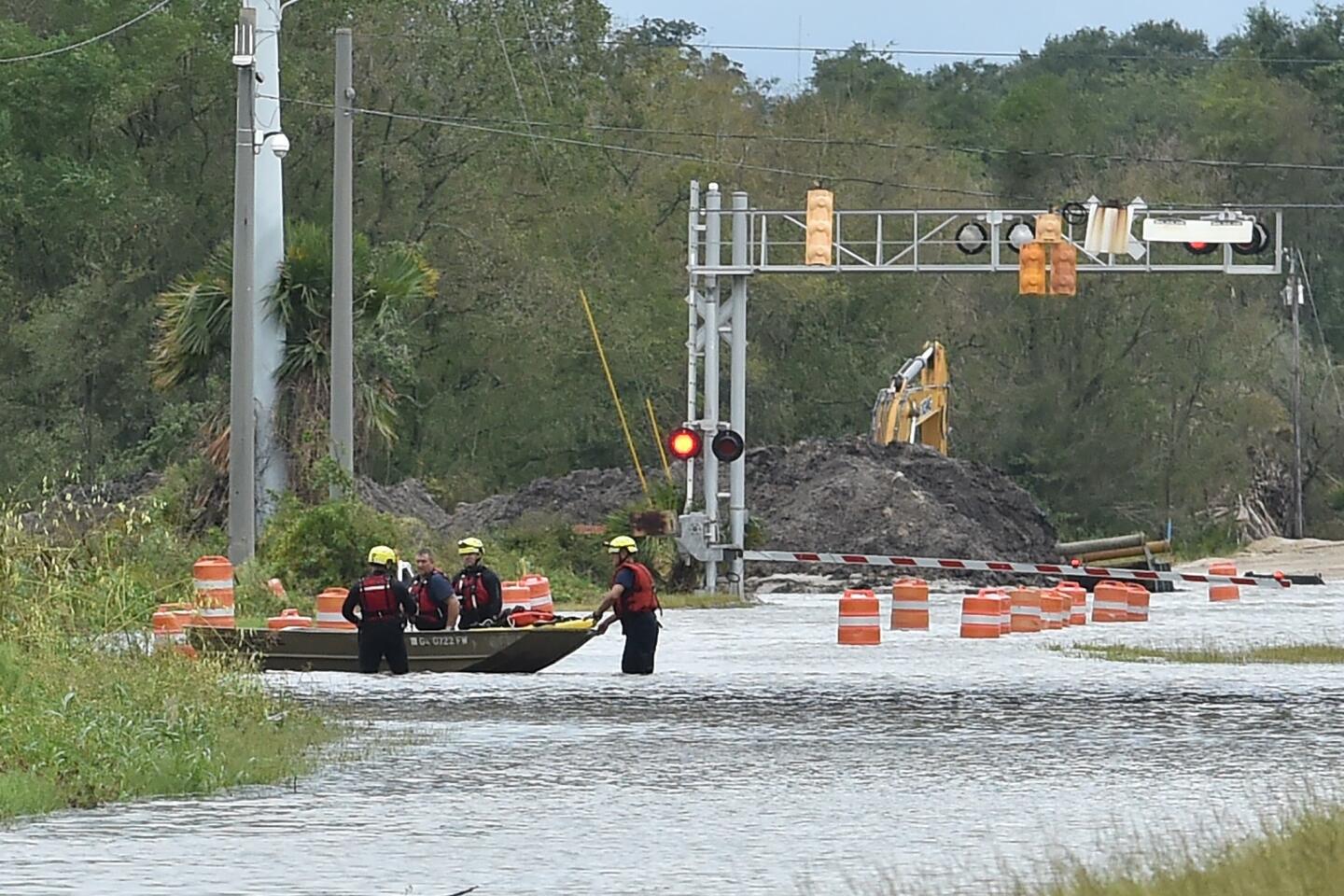
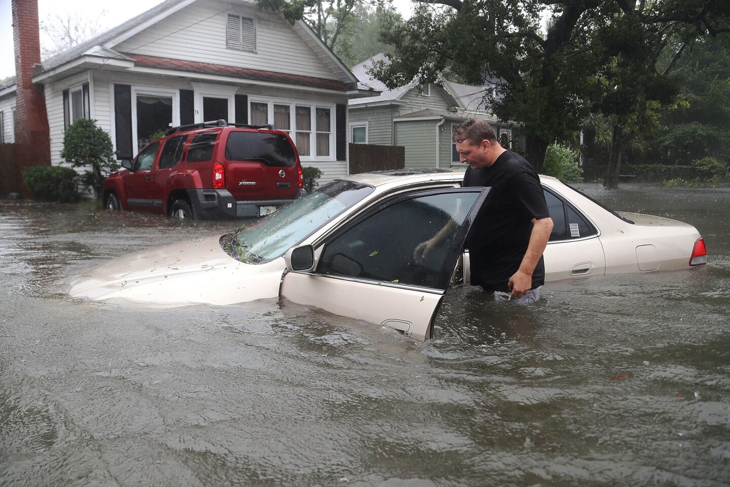
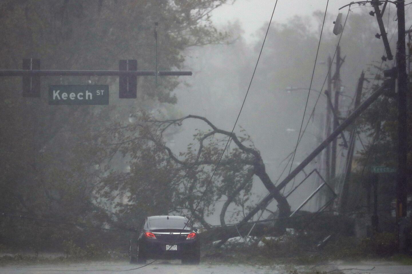
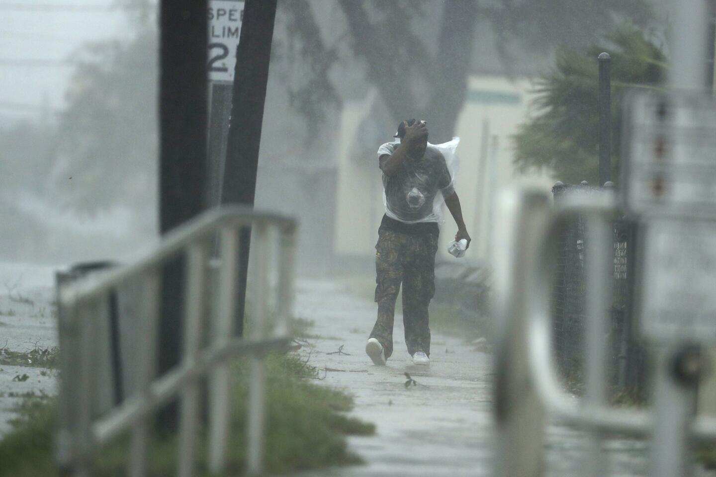
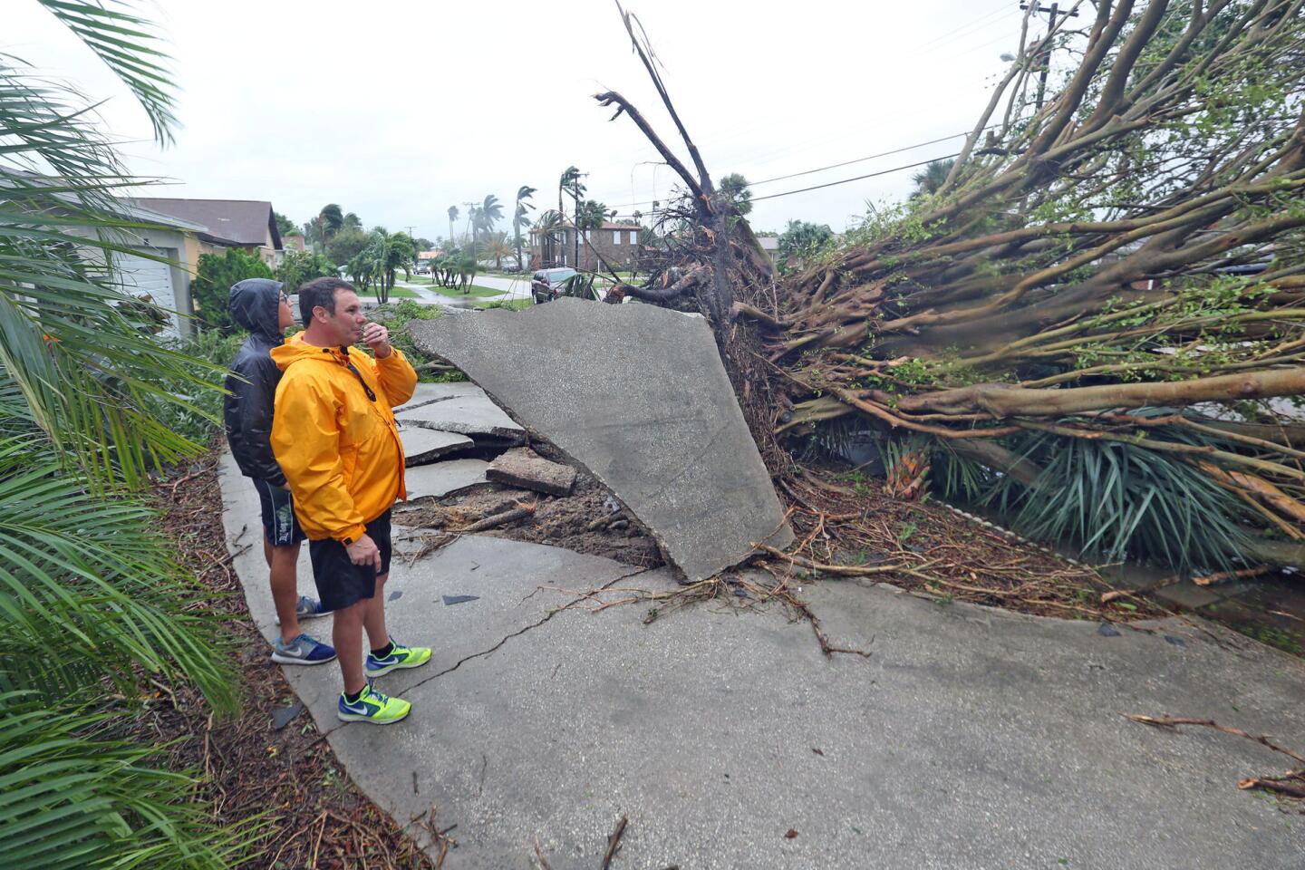
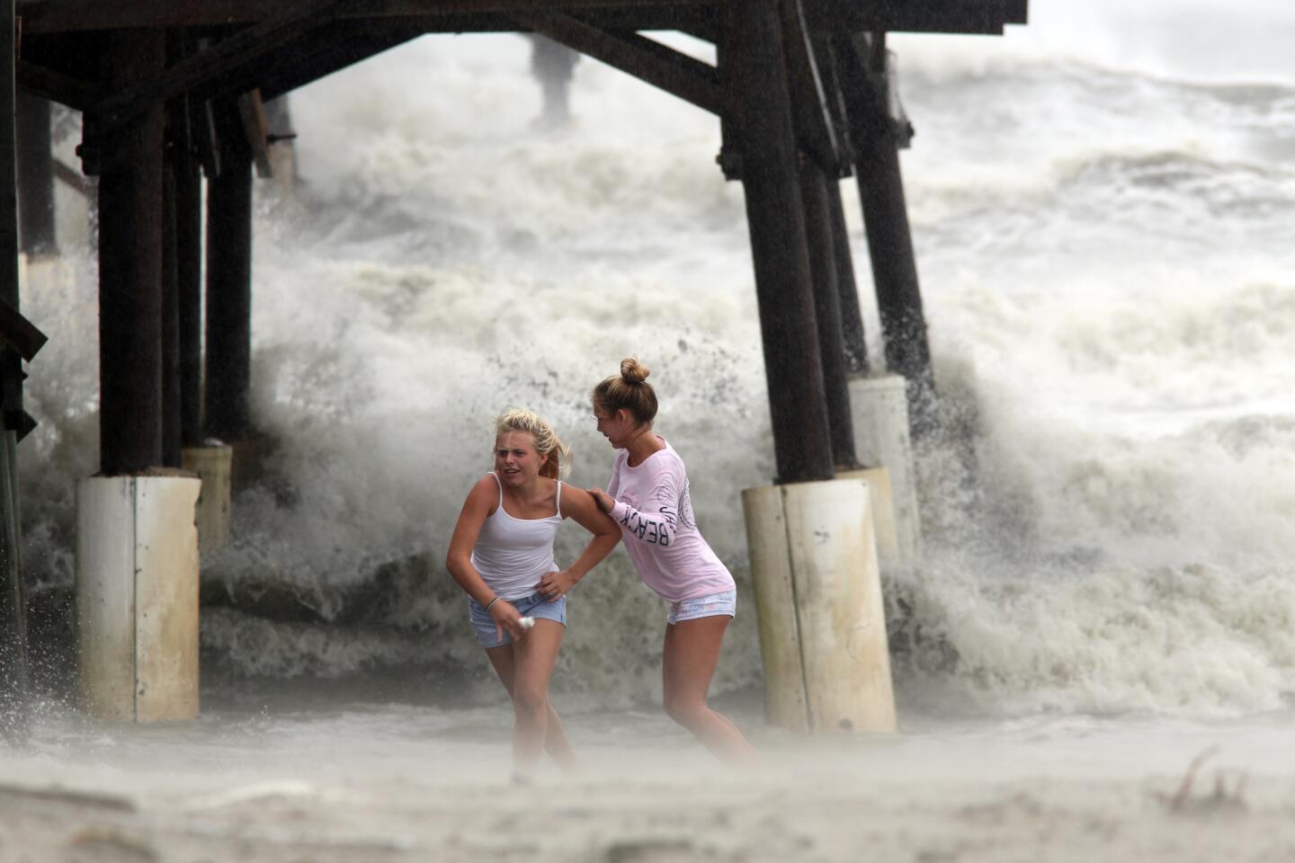
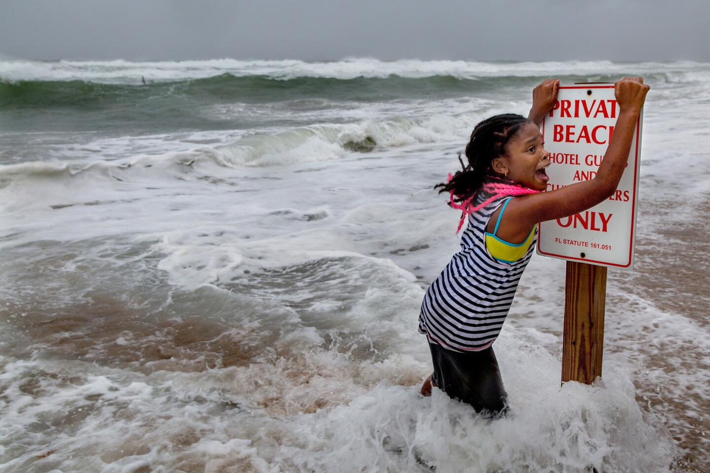
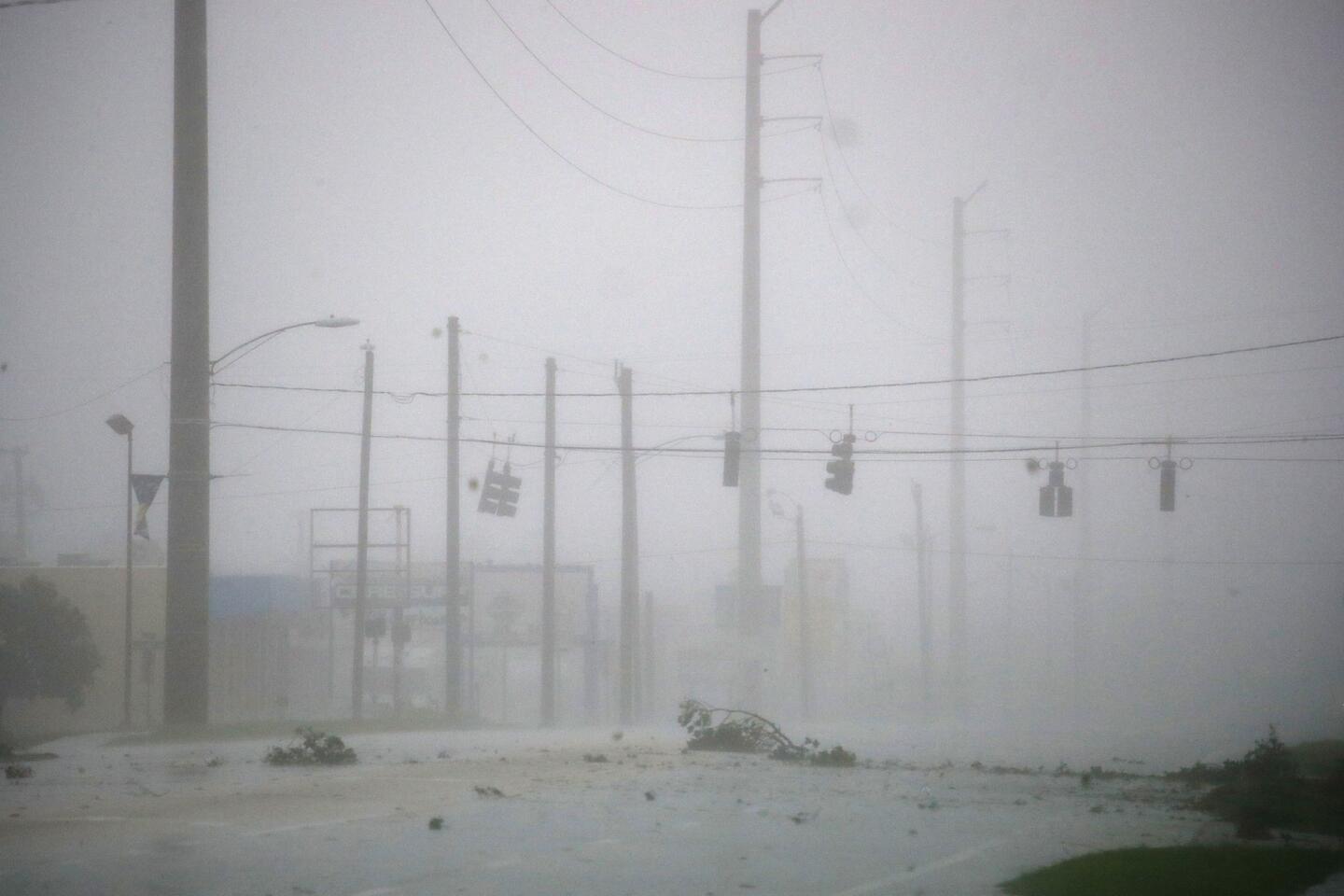
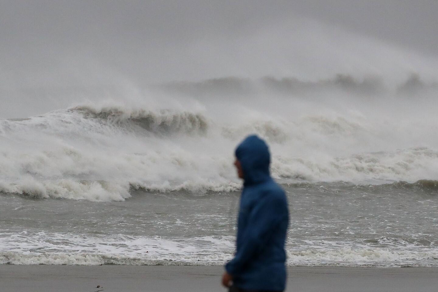
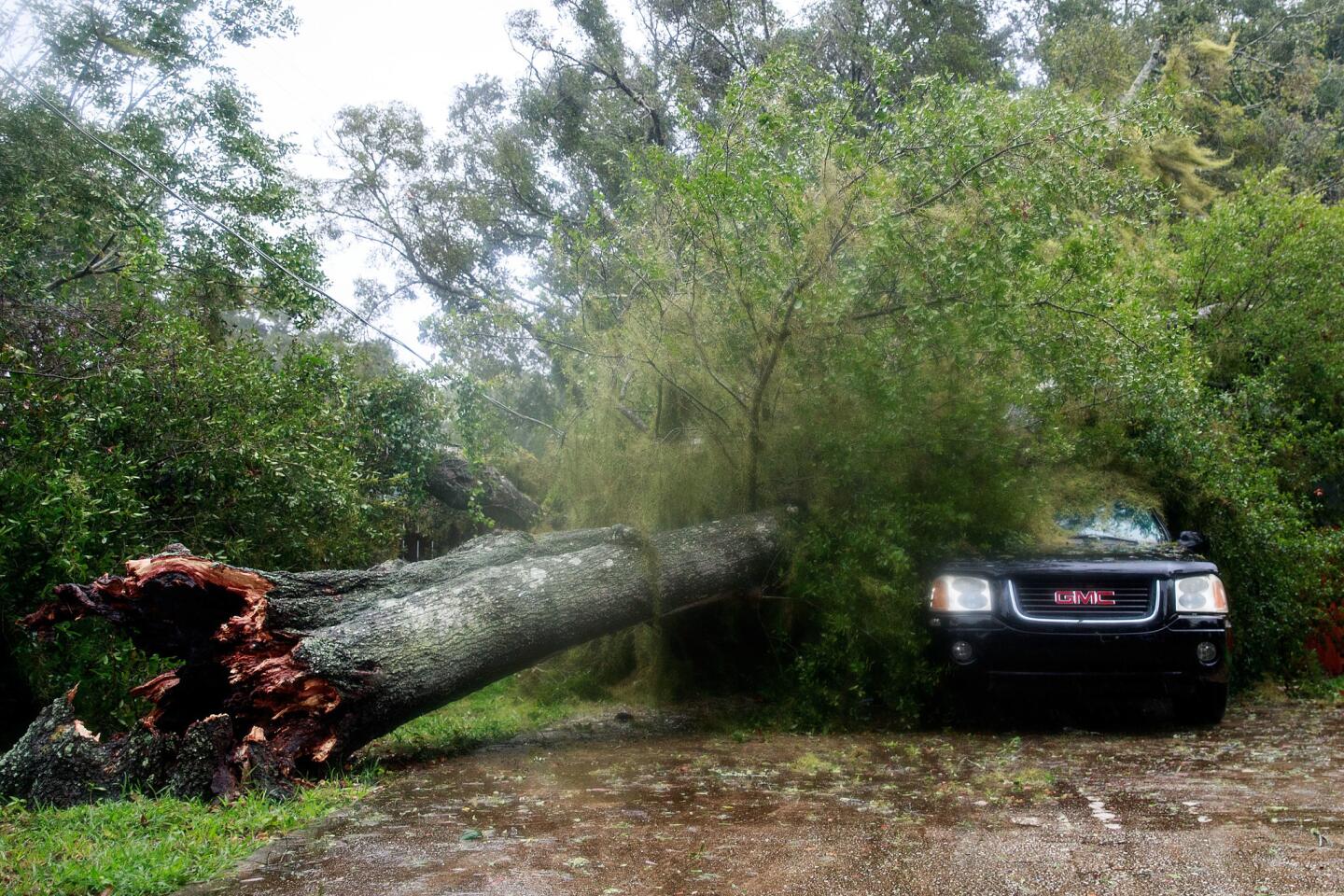
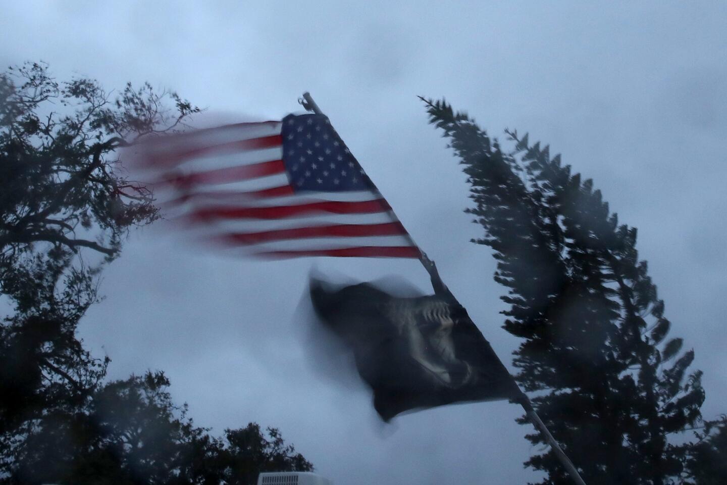
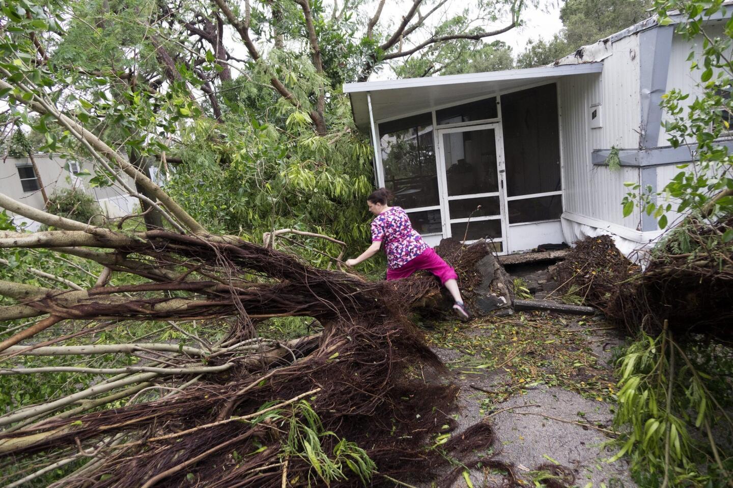
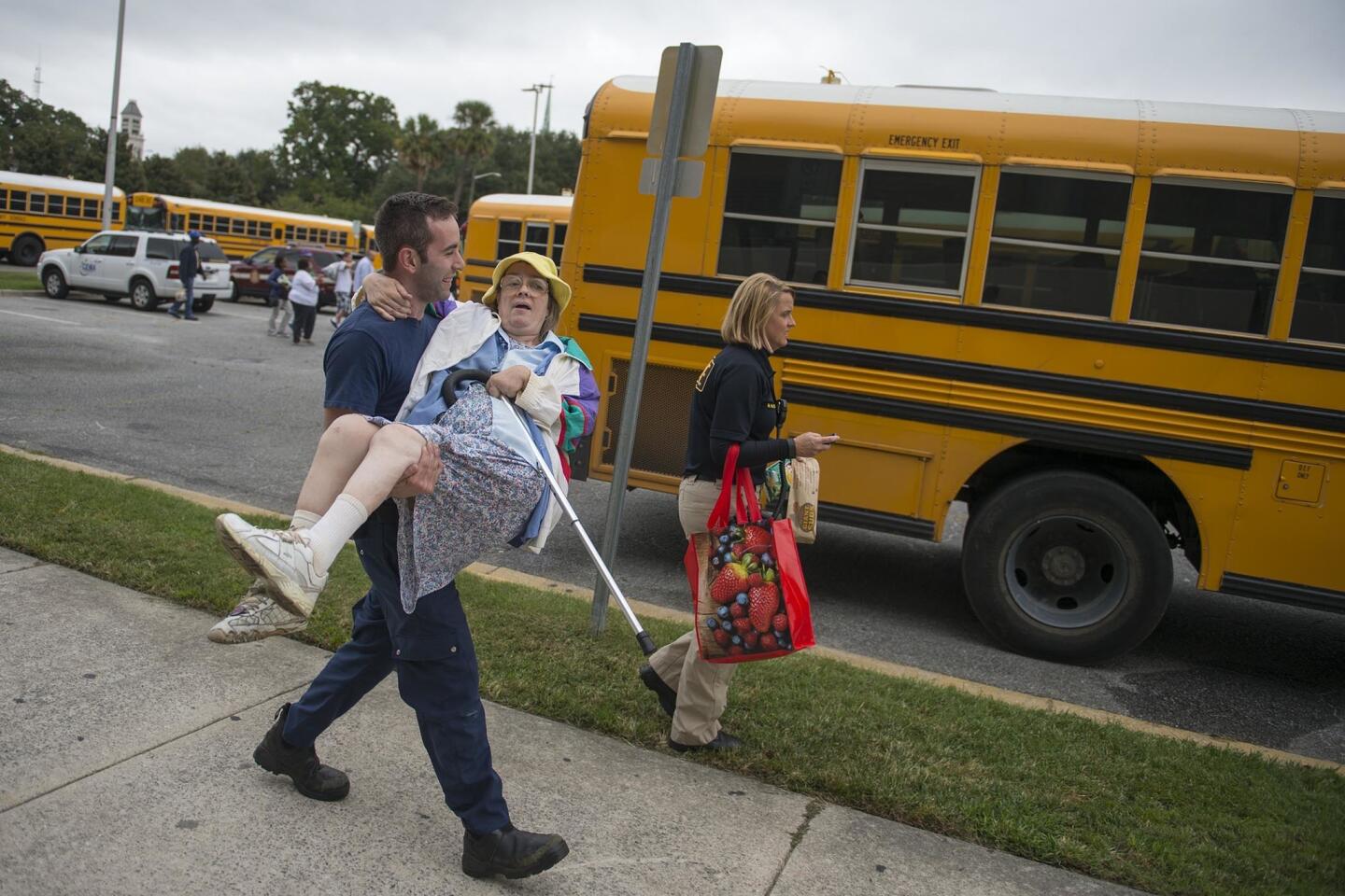
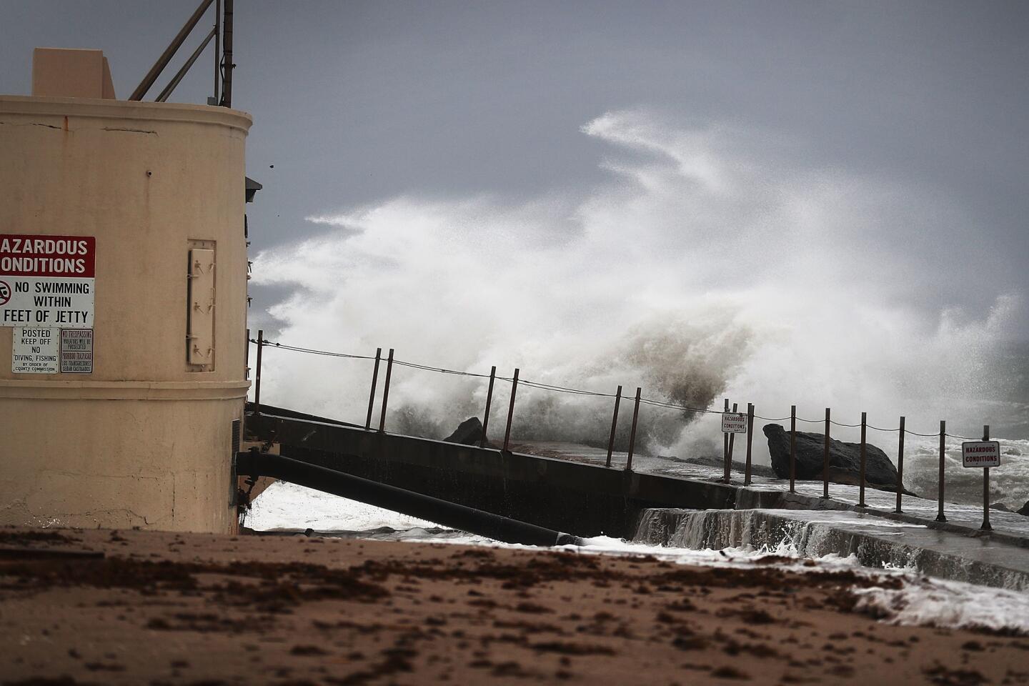
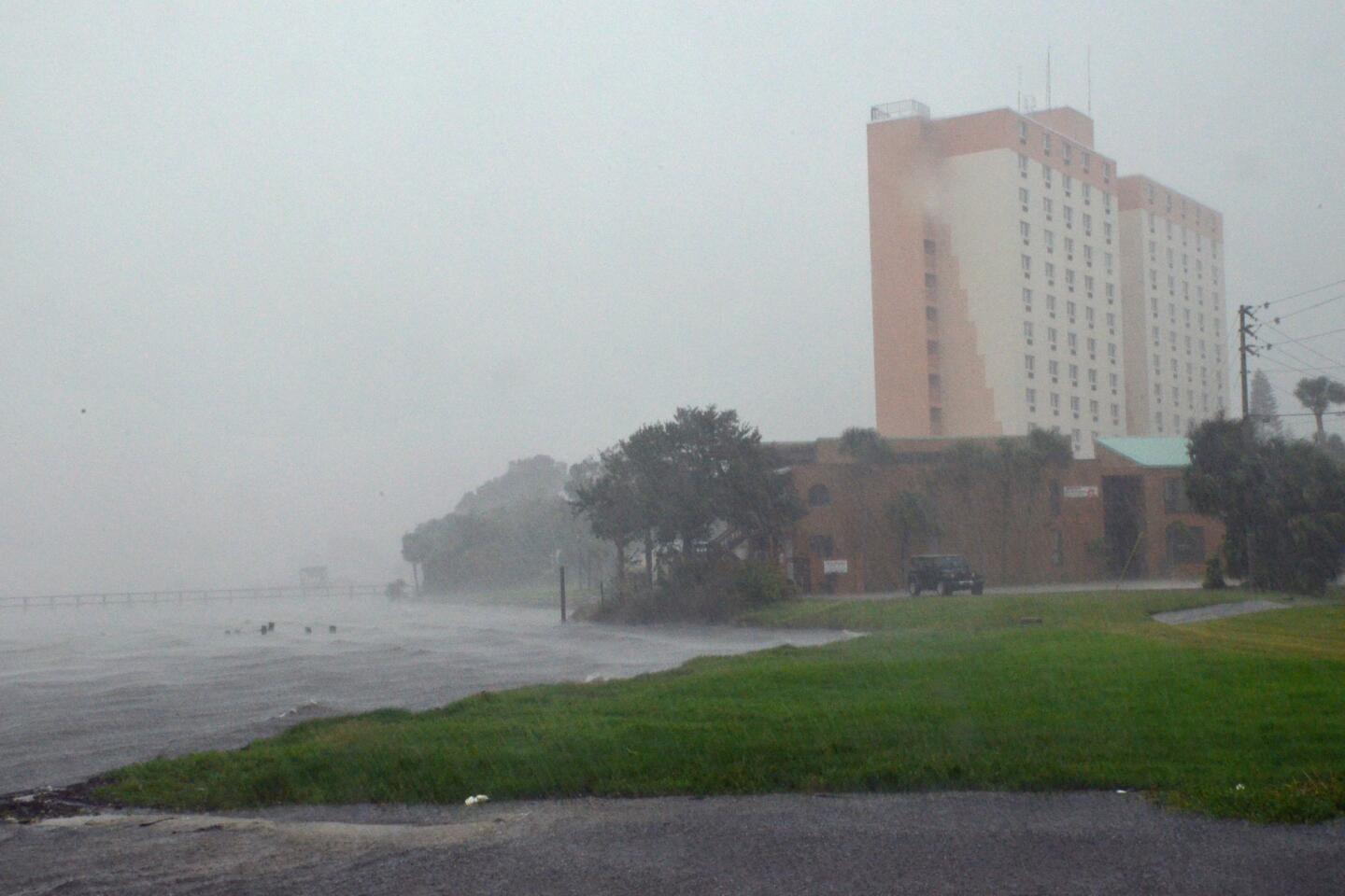
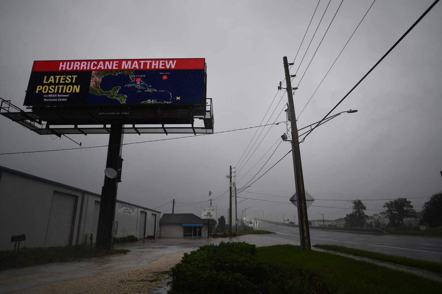
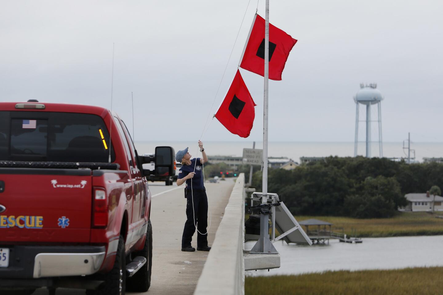
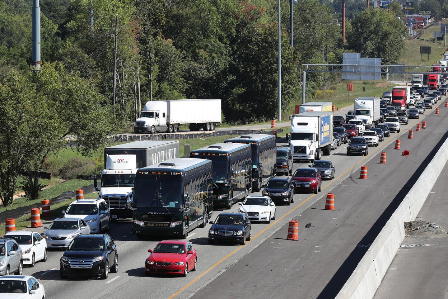
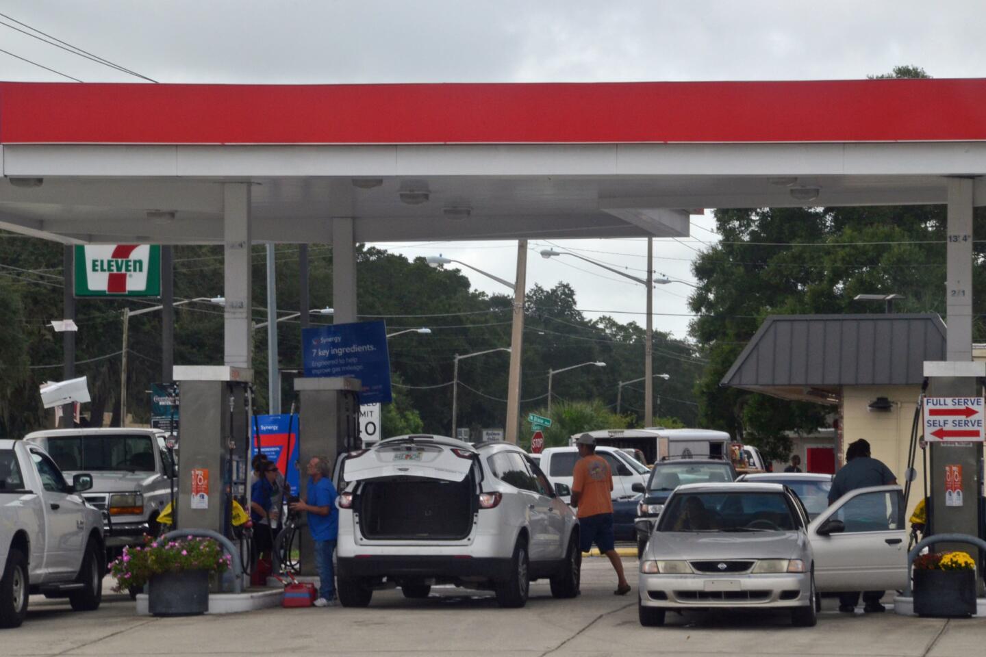
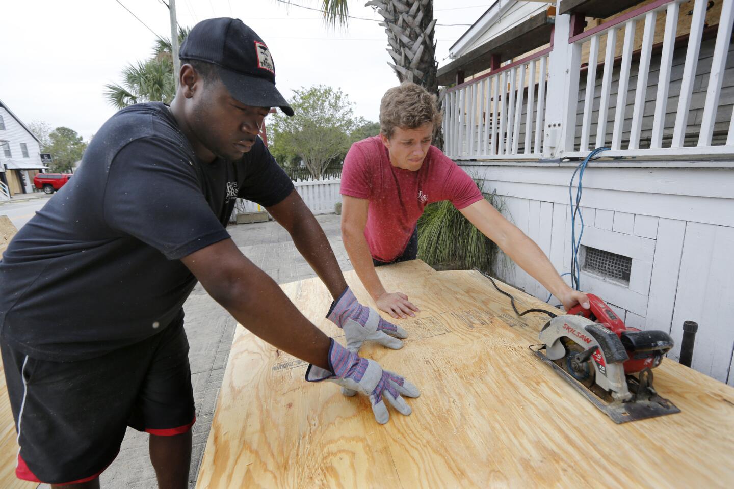
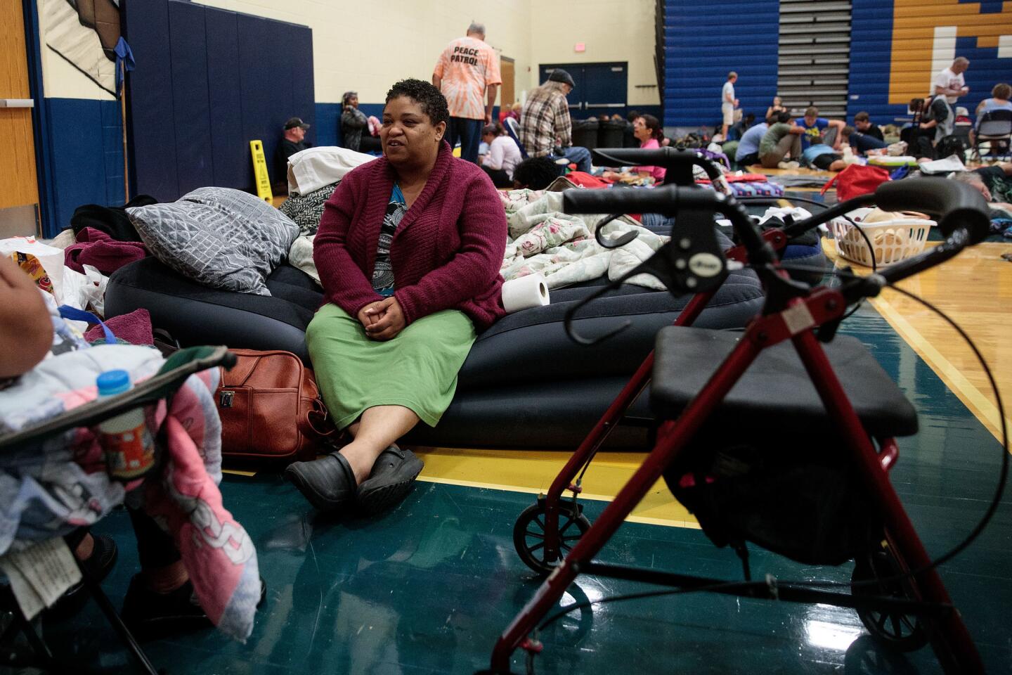
Here’s what Hurricane Matthew looks like before slamming into the U.S.
Hurricane Matthew was headed toward eastern Florida on Thursday evening, packing maximum sustained winds near 140 mph and expected to trigger a dangerous storm surge before heading north toward the coasts of Georgia and South Carolina.
The National Weather Service warned that “extremely dangerous, life-threatening weather conditions” were forecast as Matthew regained Category 4 force.
Here’s what we know:
Wind: Maximum sustained winds of 140 mph with stronger gusts.
Ocean: The National Hurricane Center warned that a dangerous storm surge and large, destructive waves could raise water levels far above normal, enough to “likely cause life-threatening surf and rip current conditions.” Tide levels were forecast to potentially surge 7 to 11 feet from Florida’s Sebastian Inlet to Edisto Beach in South Carolina, including portions of Florida’s St. Johns River, the longest in the state.
Rain: Between 4 and 8 inches of rainfall were expected for coastal areas of eastern Florida, Georgia and South Carolina, with some isolated cases of 12 inches of precipitation.
Evacuations: By Thursday, more than 2 million people in the hurricane’s predicted path were under evacuation orders across Florida, Georgia and the Carolinas. Florida Gov. Rick Scott declared that “time is up” and ordered 1.5 million of his citizens to evacuate.
National Guard deployments: More than 4,000 members of the National Guard in Florida, Georgia and the Carolinas have been activated, included 2,500 in Florida.
Flights canceled: More than 2,500 flights have been canceled from Wednesday to Friday, according to FlightAware.com.
Caribbean situation: Jamaica, Haiti, the Dominican Republic, Cuba, the Bahamas, and St. Vincent and the Grenadines were all facing Matthew’s impact.
Death toll: By Thursday, the storm had killed more than 130 people in Haiti, the Dominican Republic and St. Vincent and the Grenadines, according to reports from humanitarian organizations.
Worst impact: Haiti, where Matthew made landfall Tuesday as a Category 4 hurricane, was the most deeply affected as of Thursday. At least 108 people were killed, according to Haitian officials, who said 28,000 homes had been damaged. The United Nations reported that about 350,000 people were in need of immediate assistance.
What’s next? For Florida, it may not even be over when it’s over. Some forecast models show Matthew making mischief — visiting Florida on Friday, tracking north and east over the weekend, and then heading back south to threaten the Orange State once again early next week.
For more on global development news follow me @AMSimmons1 on Twitter
ALSO
‘A hurricane of this size has never struck Florida before’: Category 4 Matthew bears down
Hurricane Matthew killed 108 people in Haiti, and the death toll is expected to rise
As Hurricane Matthew approaches South Carolina, many residents are staying put
UPDATES:
4:30 p.m.: This article was updated with additional information.
This article was originally published at 3:10 p.m.
More to Read
Sign up for Essential California
The most important California stories and recommendations in your inbox every morning.
You may occasionally receive promotional content from the Los Angeles Times.
