1st day of spring gets cold, hard slap in East, gentle temps in West
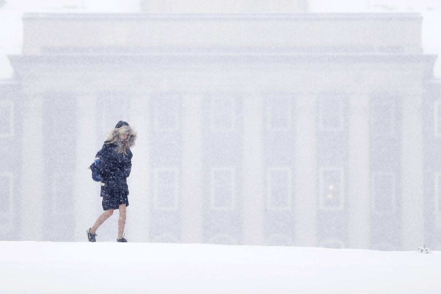
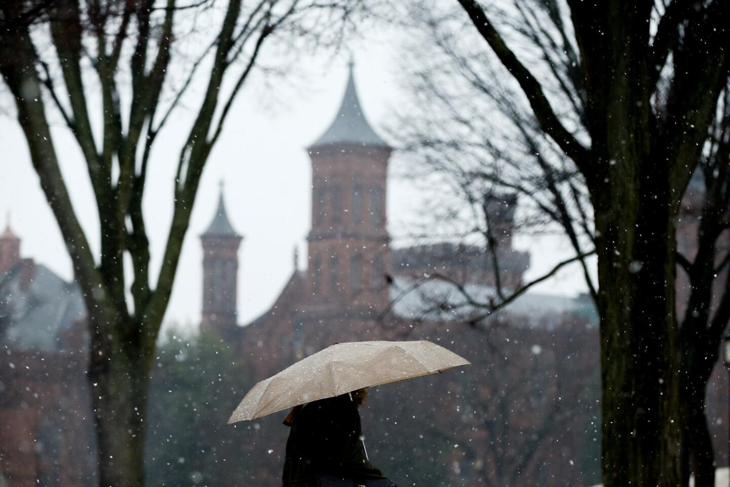
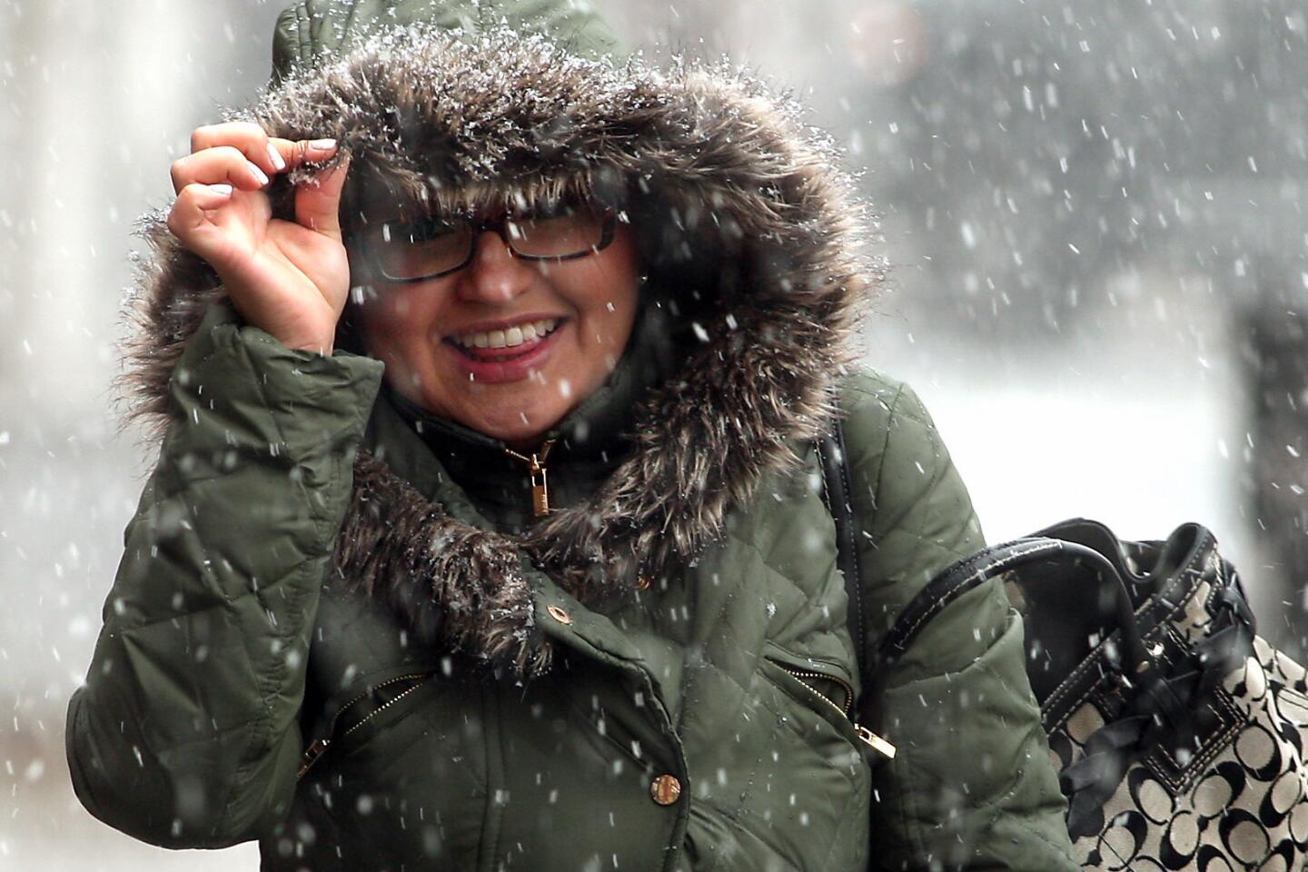
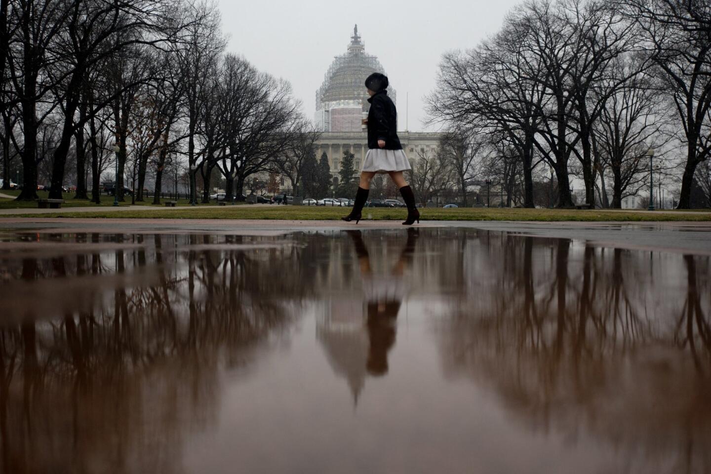
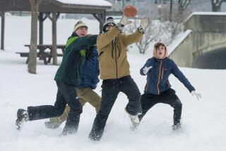
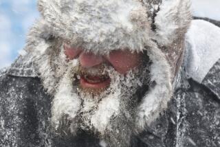
Friday may mark the vernal equinox, but the first day of spring is feeling more like a mean slap from winter with snow, rain and the chills coursing through a large swath of the nation.
Half a foot of snow is expected to fall in the Northeast and mid-Atlantic. Texas is being drenched with rain. And in decidedly non-spring-like weather, much of Nebraska and South Dakota are on fire watch because of dry, warm and windy conditions.
Western states, however, are being treated to gentler weather.
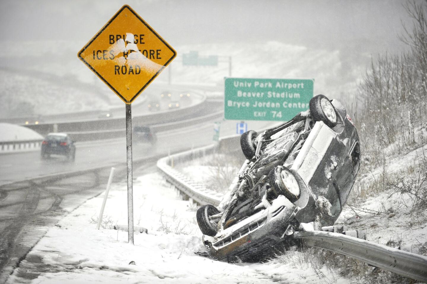
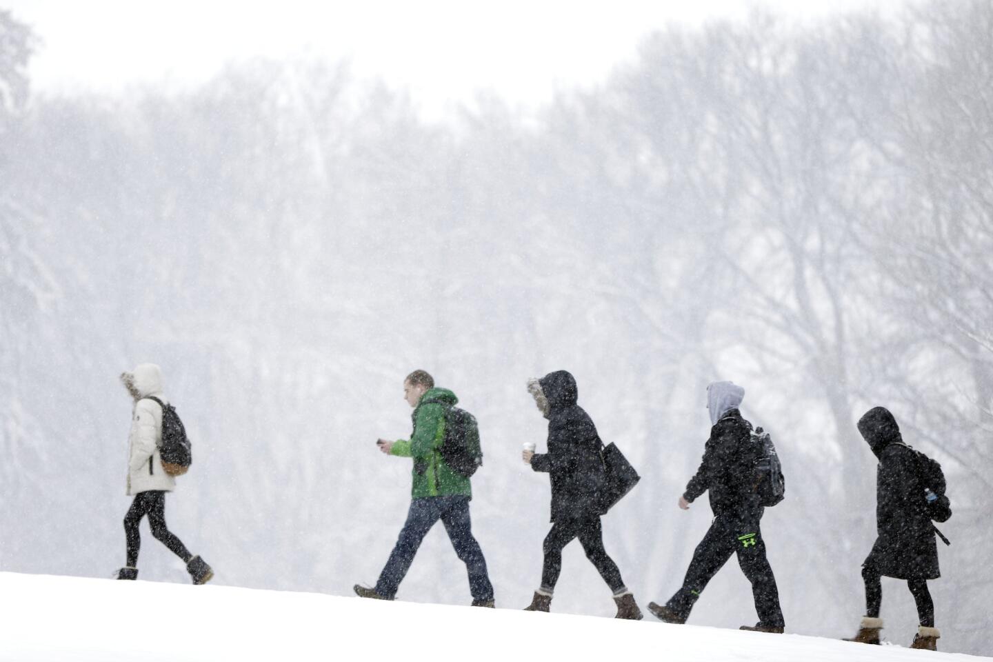
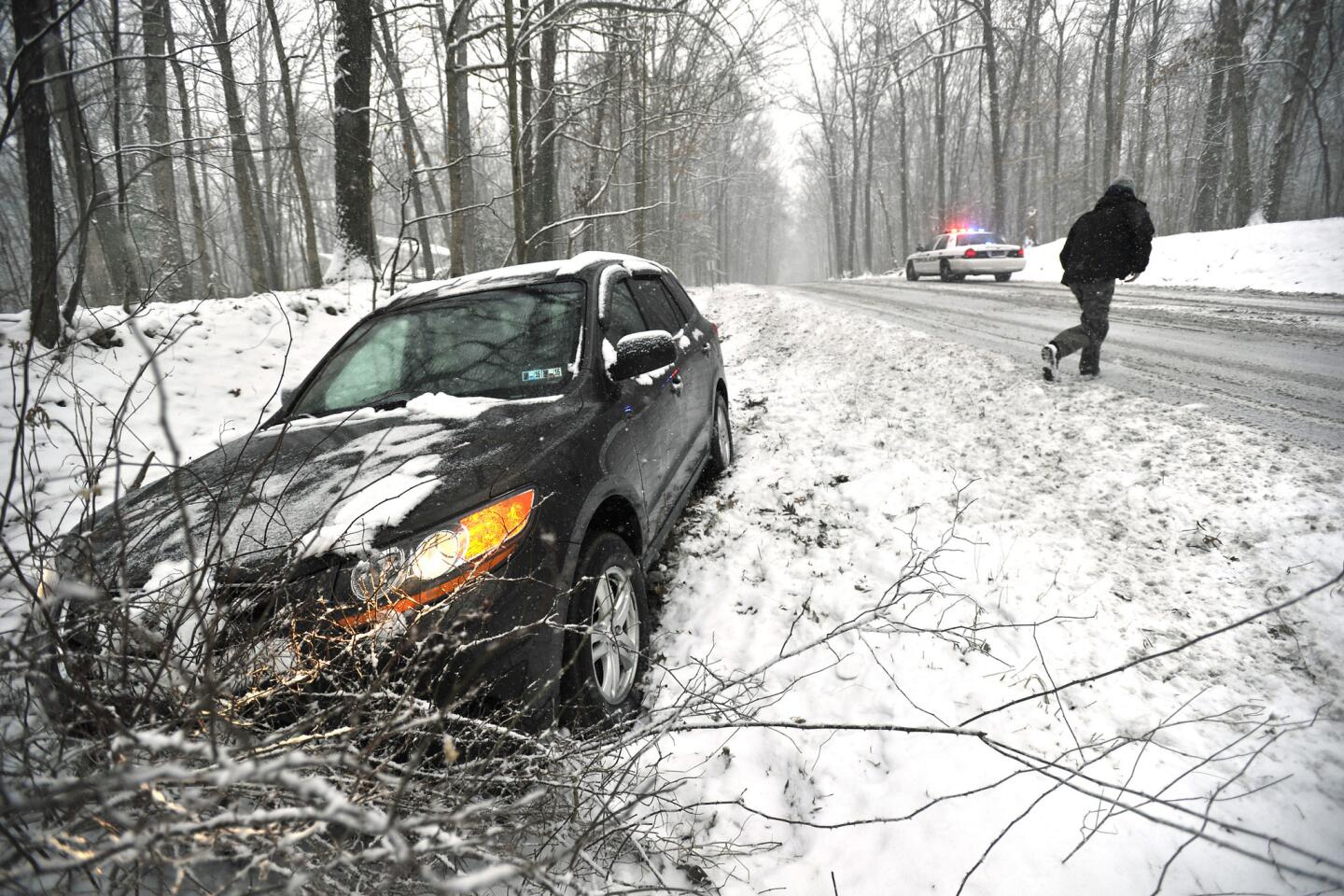
A “little bit of a snowstorm” was well under way in central Pennsylvania late Friday morning, said meteorologist John LaCort of the National Weather Service. The region will receive between 3 and 6 inches of snow, he said, but it will be “nothing like what Boston had” when it saw a record 108.6 inches of snow. This time around, Boston could get an inch or two more.
Temperatures in Pennsylvania will be in the 30s to low 40s on Friday. By Saturday, spring will make an appearance with temperatures rising to the low 50s in Pennsylvania and the 60s in Virginia.
New York City could get three to 6 inches of snow Friday. The snow will become steadier and heavier through the afternoon, and forecasters anticipate a tough commute.
In South Texas, forecasters expect multiple showers and thunderstorms through Saturday night. Rainfall totals will average 2 to 4 inches, and some areas could get 6 inches. That combination prompted a flash flood warning in the area from 1 p.m. Friday to 7 p.m. Saturday.
For more national news, follow me on Twitter: @ParviniParlance
More to Read
Sign up for Essential California
The most important California stories and recommendations in your inbox every morning.
You may occasionally receive promotional content from the Los Angeles Times.
