This Sacramento Valley town has sunk more than 2 feet in less than 10 years

A Northern California community sank more than 2 feet in nine years, the starkest example of how tapping groundwater in times of drought has caused parts of the Sacramento Valley to sink, according to a report from the state Department of Water Resources.
Arbuckle, a Colusa County community of 3,028 people, sank 2.14 feet between 2008 and 2017. While the subsidence was most severe in Arbuckle, it was widespread in Yolo County, where the DWR registered ground levels sinking from a third of a foot to 1 foot at 31 sites. The DWR also measured areas in Glenn and Sutter counties where ground levels had sunk modestly.
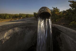
DWR Director Karla Nemeth attributed the sinkage to overtaxing the valley’s groundwater during the drought that desiccated California from 2012 to 2016. The agency will continue to push for more sustainable use of the state’s groundwater, Nemeth said in a news release.
The survey, conducted during 2017, found that groundwater levels in the Sacramento Valley had recovered an average of 7 feet since the drought’s end. But the drought had depleted groundwater levels in parts of Colusa County by as much as 43 feet. In Glenn County, the groundwater was even more exhausted, dropping 58 feet in places.
When groundwater is extracted, soil and other sediments contract, causing subsidence — the sinking or settling of the ground’s surface.
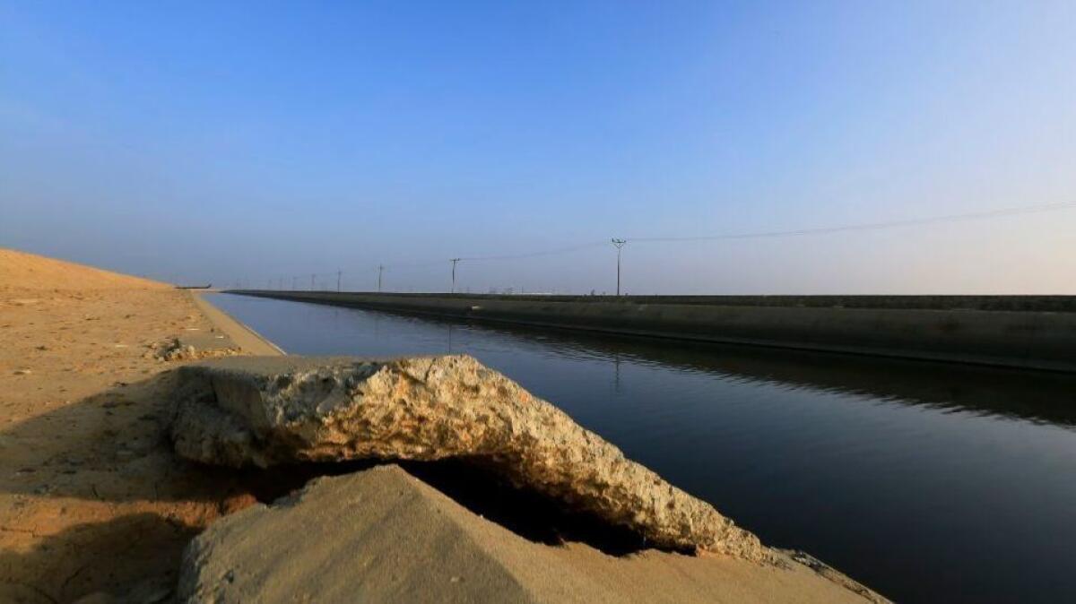
Subsidence can damage infrastructure such as roads, levees, pipelines and aquifers. Roads can crack. Canals can buckle and warp. Water operators are forced to lessen the flow of water to sunken aqueducts, for fear of overflowing their banks.
In 2017, the DWR and NASA found that aqueducts in the San Joaquin Valley had sunk more than 2 feet at key points, threatening the delivery of water to millions of acres of farmland.
One aqueduct in Kings County, having sunk more than 2 feet in places, could carry only 80% of the water it was designed to transport, the report found. William Croyle, the DWR’s director at the time, called the subsidence “troubling and unsustainable.”
Stretches of the Eastside Bypass, which carries flood flow from the San Joaquin River in Fresno County, sank 16 to 20 inches in two years, the report found. The water system’s surface had already fallen several feet in places between 2008 and 2012. Fixing those areas could cost $250 million, the DWR estimated.
In 2016, the DWR and NASA surveyed the South-Central Coast region. Using radar data, they found an area near Corcoran — about 50 miles south of Fresno — had sunk 22 inches between May 2015 and September 2016.
More to Read
Sign up for Essential California
The most important California stories and recommendations in your inbox every morning.
You may occasionally receive promotional content from the Los Angeles Times.


