Measuring the snowpack goes high-tech with airborne lasers and radar
Every year for almost half a century, California snow surveyor Pat Armstrong has trekked the rugged Sierra Nevada with three simple tools: a snow core tube, a scale and a notebook.
For as long as he can remember, state water officials have relied on the accuracy of those tools to deliver crucial data on the size of the Sierra snowpack and its ability to sustain a growing population.
“It hasn’t changed in a hundred years,” Armstrong said of the survey.
But there is a growing belief that this low-tech process alone is becoming too unreliable to accurately manage California’s water needs.
A warming climate, experts and officials argue, has ushered in a new age of unpredictable rainy seasons and caused the Sierra snowpack — the state’s largest naturally occurring reservoir — to melt faster than ever before. Knowing how much snow is available is essential to maintaining California’s water supply and minimizing flooding when the snow melts.
The research will use airborne lasers and radar to measure the snowpack on a scale and elevation impossible to reach by foot. The data will reduce the need for water managers to generalize data over thousands of square miles of land.
Project partners, which include the European Space Agency and NASA’s
“It’s going to be a number of years … but that is the dream,” said Dave Rizzardo, water supply forecasting chief for the California Department of Water Resources.
How California measures snow water equivalent
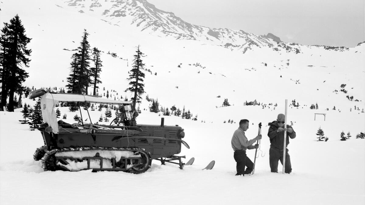
For as long as Armstrong can remember, snow surveyors have trekked, skied and snowmobiled to spots thousands of feet high and miles apart, and carried with them what’s known as a Mount Rose Sampler and a scale.
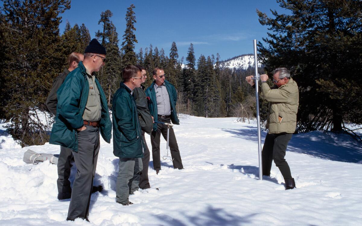
The sampler is recognizable in the hands of the state’s chief snow surveyor, Frank Gehrke, who strides into a hoary meadow at Phillips Station near Lake Tahoe every April 1 and plunges the sampler deep into the powder.
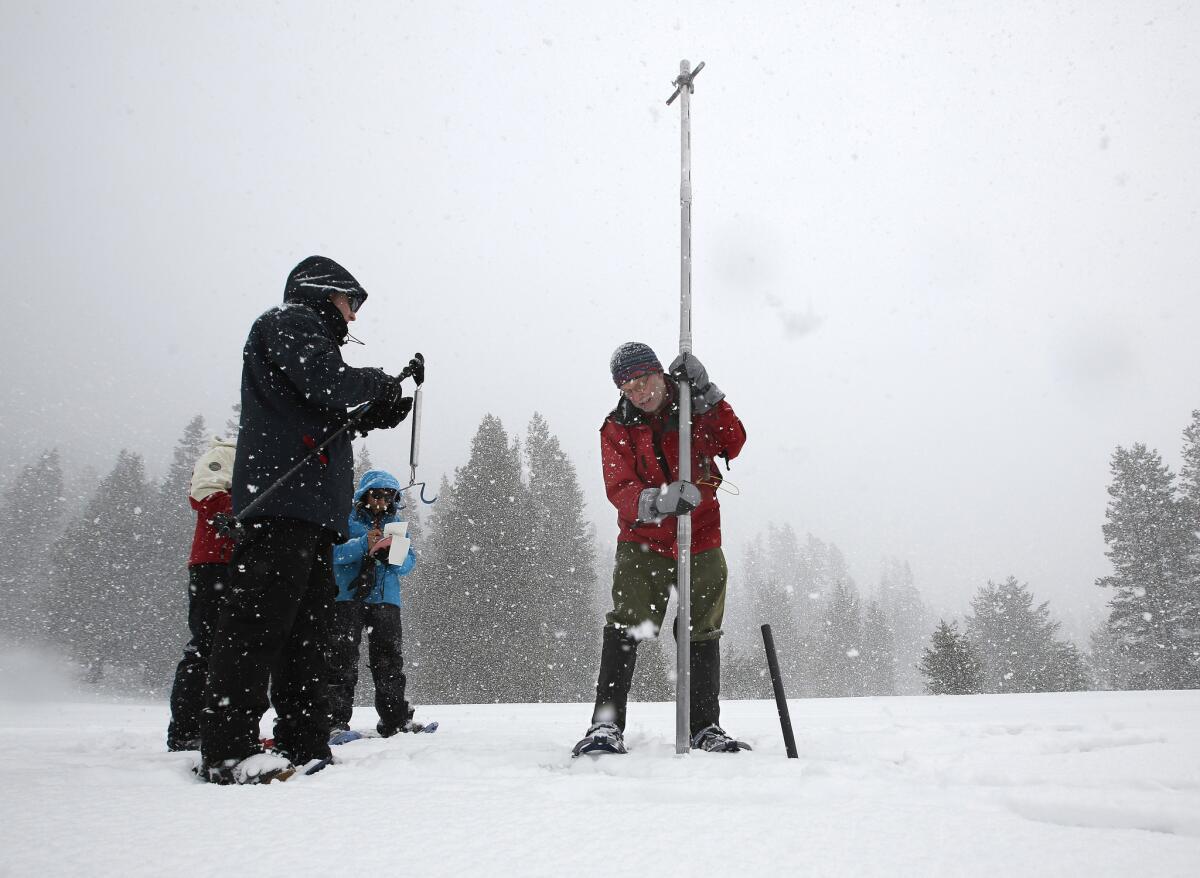
The sampler is marked like a ruler on the outside to measure snow depth, while its hollow center digs out a “core” of snow. That snow is then weighed to determine how much water it contains.
“Manual measurements are still the backbone of the program and will be for the foreseeable future,” Gehrke said.
The technique has worked for more than a century, state water managers say, but it’s not 100% accurate. Since the surveyor must force the tube into the powder, the snow is compressed and over-sampled by about 10%, said Ned Bair, a UC Santa Barbara hydrologist.
The sampler is used on some 250 “snow courses,” or areas where folks like Gehrke and Armstrong will dip it into the snow 10 to 15 times along a 300-meter path.
The snow courses sometimes overlap with decades-old snow telemetry, or SNOTEL, stations. These sites use ultrasonic sensors to measure snow depth and large, antifreeze-filled bladders, or “snow pillows,” to measure the weight of snow gathered on top of them.
SNOTEL stations aren’t foolproof though. They can be smashed by falling trees or avalanches, or damaged by curious bears. The stations also generate inaccurate data when ice forms over a pillow and causes inaccurate weight readings, Armstrong said.
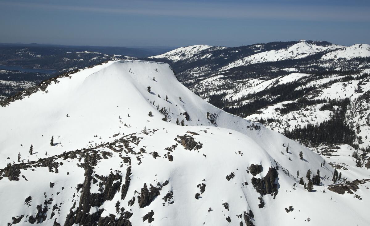
Estimation errors have also become more frequent in recent years, because none of California’s snow courses or SNOTEL sites are located above 12,000 feet altitude — a zone that is increasingly experiencing late-season snowmelt because of climate change.
Why measuring snow water equivalent is important
Roughly 1.2 billion people worldwide — 60 million of them on the West Coast of the U.S. — depend on melted snow for water. Nearly a third of the world’s surface is at one time or another blanketed in seasonal snow, and in California, the Sierra Nevada snowpack accounts for a third of the state’s water supply.
Accurate forecasting gives the state’s multibillion-dollar agriculture industry an idea of how much water farmers can anticipate in a growing season and lets water agencies know if they need to conserve water or release it from reservoirs. Ski resorts, white-water rafting companies and river fisheries all look to forecasts for hints on what conditions could be like later in the year.
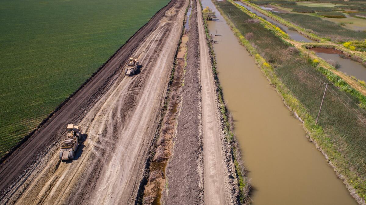
But scientists and state officials say snow survey methods have failed to keep pace with a changing world. Extreme variations in precipitation tend to skew results, and climate change has altered the rate at which snow melts.
In a typical year, California’s snow water equivalent estimates are accurate to within 10%, according to Rizzardo, the state water supply forecasting chief. In outlier years such as this one, however, that margin of error can reach 20% to 25%.
In a major watershed, such as the hills above the San Joaquin River — where an estimated 2.4 million acre-feet of water lies frozen — that margin of error could exceed 150 billion gallons of water.
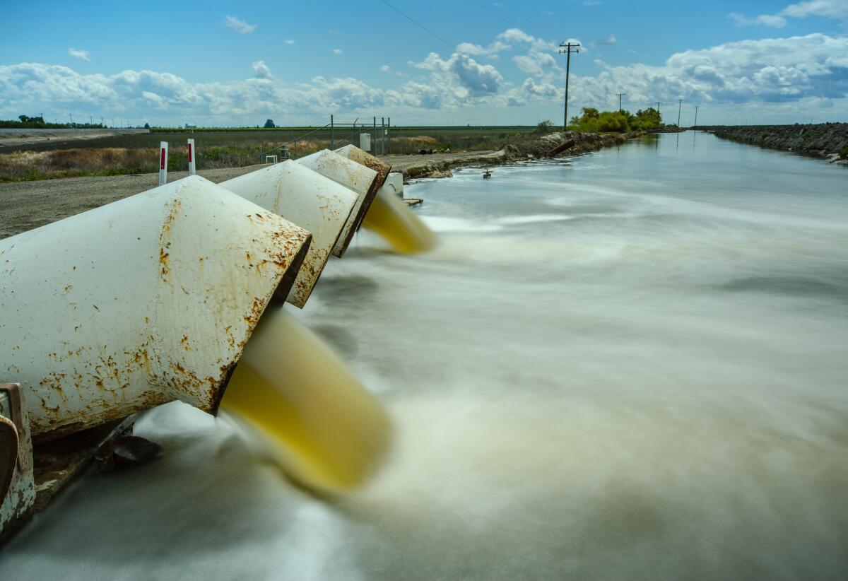
How the SnowEx study works
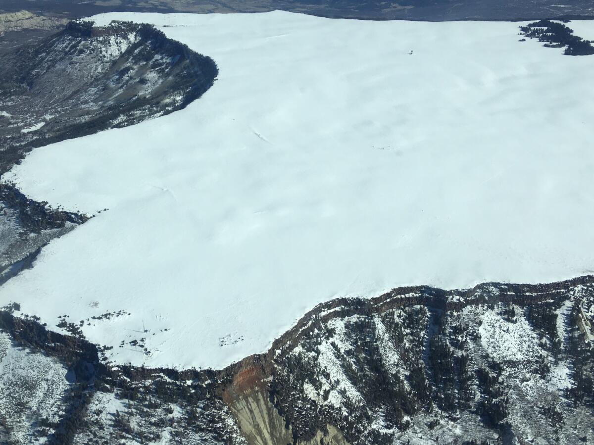
SnowEx researchers chose a high-elevation, snowy plateau in Grand Mesa, Colo., and the
Both areas had low avalanche risk, vast sheets of snow and vegetation that would test the limits of the team’s equipment.
By mounting various tools that measure snow depth, density and light reflection onto land-based equipment and aircraft, the study aims to find what combination gives the most comprehensive and accurate measurement of snow water equivalent.
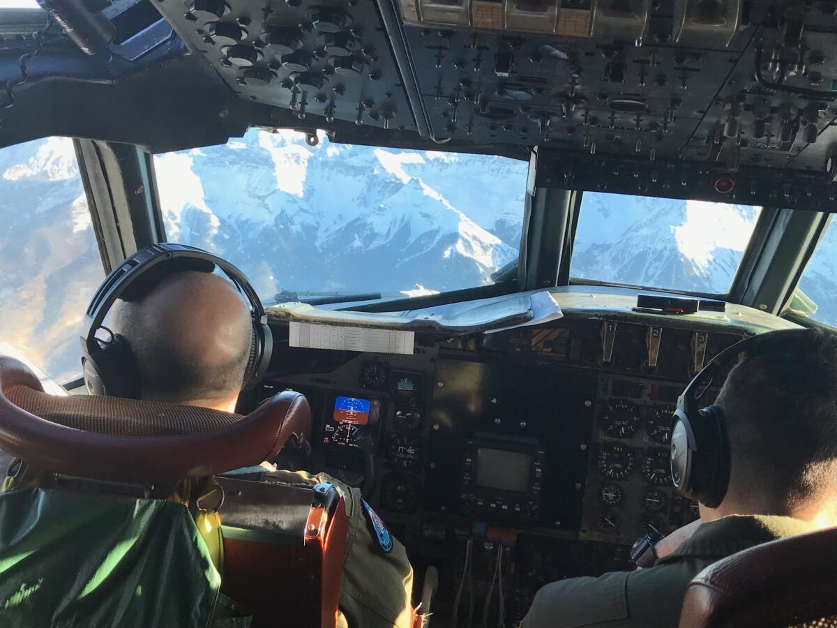
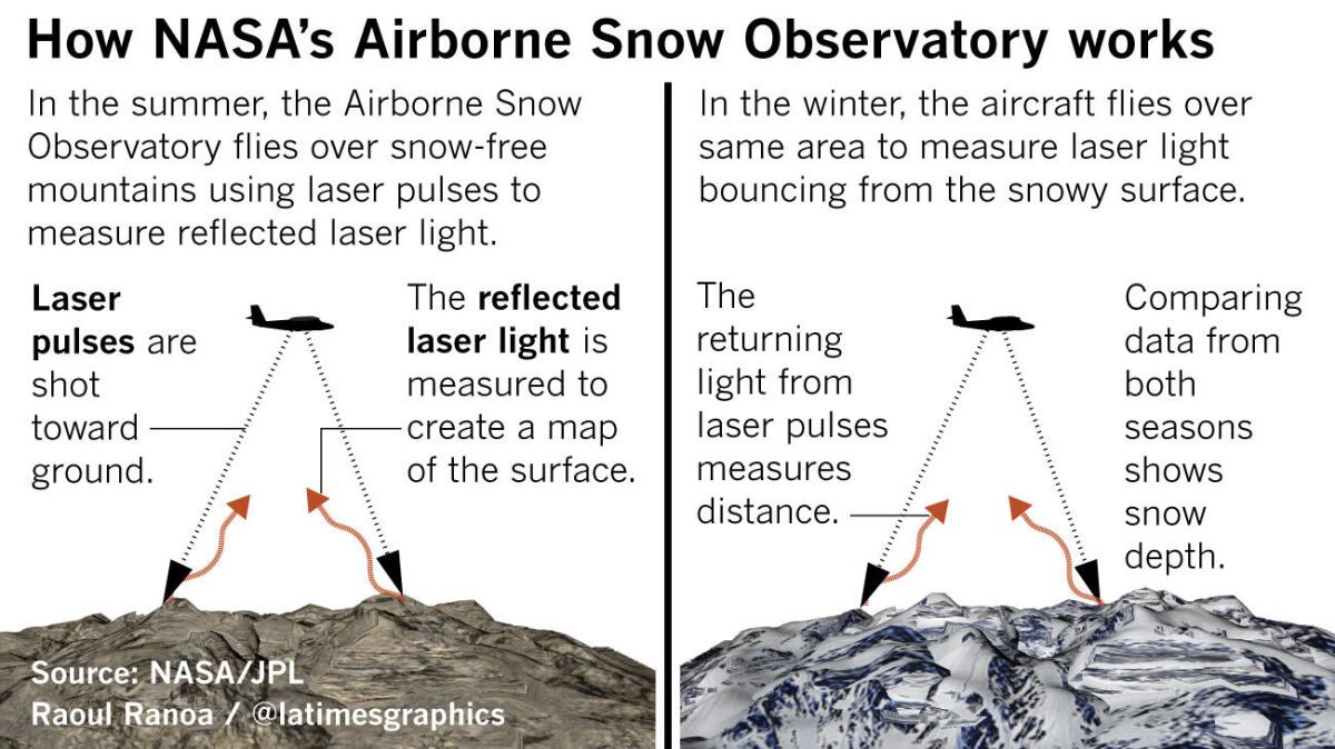
Researchers used five aircraft to fly over the basins in tightly plotted, back-and-forth flight paths while zapping the snowpack with different wavelengths of radar and lasers to measure density, depth and albedo, or ability to reflect light, said Thomas Painter, principal scientist of NASA’s Airborne Snow Observatory.
Radar, in theory, can penetrate the surface of a blanket of snow and return an accurate picture of its density by detailing the shape and size of snow grains and how densely packed they are. Unfortunately, the technology isn’t advanced enough to cope with the fuzziness that comes when the radar hits liquid water, so researchers haven’t been able to go more than a few inches deep before the data become useless, Painter said.
For snow depth, the team mounted LIDAR, a type of laser that works similarly to radar, and flew over the study area last year before the snow arrived. They then flew over the area again with snow and measured the difference in height on the ground to figure out what the depth of the snow was.
The team used spectrometers to measure the snow’s albedo. Sunlight is the single greatest contributor to snowmelt, experts say, and the data collected in the SnowEx missions should tell researchers how the sun’s position in the sky affects the rate at which snow melts.
Once the data are calculated, researchers will create estimates on the snow water equivalent.
Teams on the ground take the same measurements to compare for accuracy. But that’s not all they’re doing, said Bair, who participated in verifying the airborne measurements.
“One of the big questions is how accurately can you model snowpack density, but another, more subtle question is how many measurements do you need to accurately model a snowpack across a basin?” Bair said. “I think there’s a lot of research questions there, and I don’t know if we have short answers.”
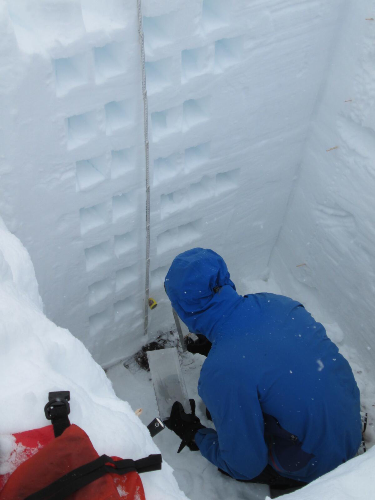
Thousands of ground-based measurements were taken of the Colorado snowpack to verify accuracy, researchers said. Teams dug deep pits into the snow, then carved samples from the side of a wall to measure snow density, rather than using snow core tubes.
When will the study results be usable?
That depends.
Water managers prefer California’s current forecasting method because records go back decades and provide a consistent, historical backdrop for comparison.
The forecasting recipes being brewed in Colorado are in their relative infancy and have to be fine-tuned before they’re put on satellites — a proposition that is years away, said Noah Molotch, a SnowEx research scientist with JPL and the University of Colorado.
“When we get these sensors into programs, more than ever we’ll need ground-based observation,” Molotch said. “We need truth measurements on the ground to determine how well it works.”
Once the technology is mounted to satellites, it’ll take years to form a foundation of records that water managers can rely on to create forecasts, he said.
“I’ll be convinced it works decades before the water management community is convinced it works,” Molotch said.
Are there solutions for better forecasting in the short term?
It looks like it.
For the last five years, NASA’s Airborne Snow Observatory has been working in conjunction with the Department of Water Resources to conduct flyovers of the Tuolumne River basin in the Sierra Nevada. Additional flyovers have included the Merced, San Joaquin and King river basins, said Painter, the NASA scientist.
Though the aircraft aren’t loaded with all the gadgets used in the larger SnowEx study, they do use the same LIDAR and albedo equipment. At the end of the season, NASA researchers and state hydrology forecasters compare the flyover data with their forecasts to see how their predictions measured up.
“Even in this very short time … we’re learning that a lot of our physically based watershed models are not accurate in the sense of developing the snowpack,” Gehrke said.
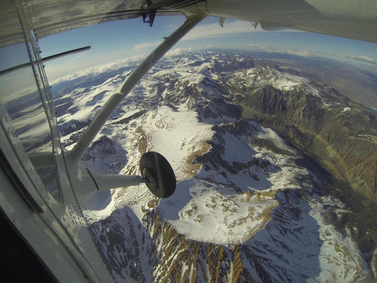
The Airborne Snow Observatory flights give forecasters a view of the entire watershed so they can narrow down where the errors in their estimates come from, Gehrke said. “This idea that you know very precisely how much snow is up there, it’s pretty revolutionary in the sense it didn’t exist before.”
Those types of comprehensive and detailed observations will be available — at a cost — years before they’re available via satellite, scientists said.
Twitter: @JosephSerna
Sign up for Essential California
The most important California stories and recommendations in your inbox every morning.
You may occasionally receive promotional content from the Los Angeles Times.


