Chance of thundershowers, hail and flash flooding in some burn areas, including La Tuna Canyon, forecasters say
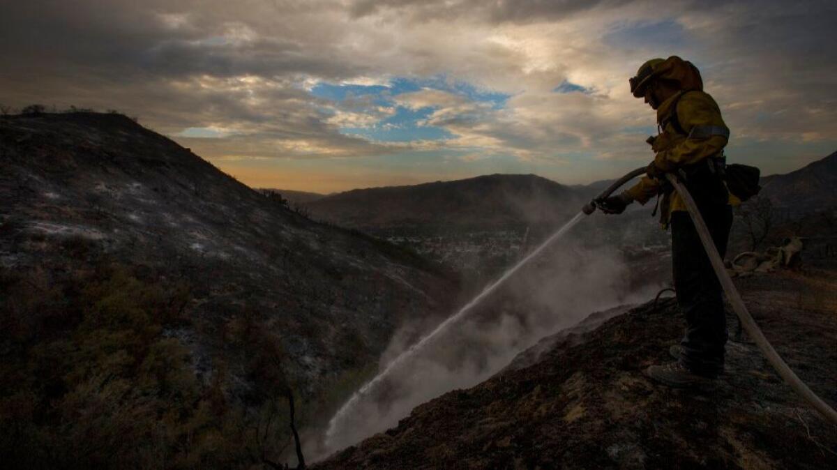
Forecasters are warning of a chance of thunderstorms, hail and flash flooding across southwest California on Sunday and Monday, including in recent burn areas in Los Angeles, Santa Barbara and San Luis Obispo counties.
A low pressure system near the Bay Area is expected to shift southward Sunday evening, according to National Weather Service. As it moves farther south, it will draw monsoonal moisture from Mexico and Arizona, increasing the chance for thunderstorms across the region.
The potential for flash flooding is greatest in the foothills and mountains, including the Antelope, San Gabriel, San Fernando and Santa Clarita valleys. Heavy rainfall could cause debris flows in areas blackened by recent wildfires, including the Alamo, Whittier, La Tuna, Sand and Fish burn areas.
Weather service meteorologist Curt Kaplan said showers are expected to taper off Monday as the system moves out of the area.
ALSO
Videos capture dramatic lightning storm in Los Angeles
Hundreds expected to march through the streets of Los Angeles on Sunday for immigrants rights
UPDATES:
9:15 a.m. Sept. 10: This article was updated with new information from the National Weather Service.
This article was originally posted Sept. 9 at 6:16 p.m.
More to Read
Sign up for Essential California
The most important California stories and recommendations in your inbox every morning.
You may occasionally receive promotional content from the Los Angeles Times.
