Instead of record rains, L.A. gets the hottest February on record
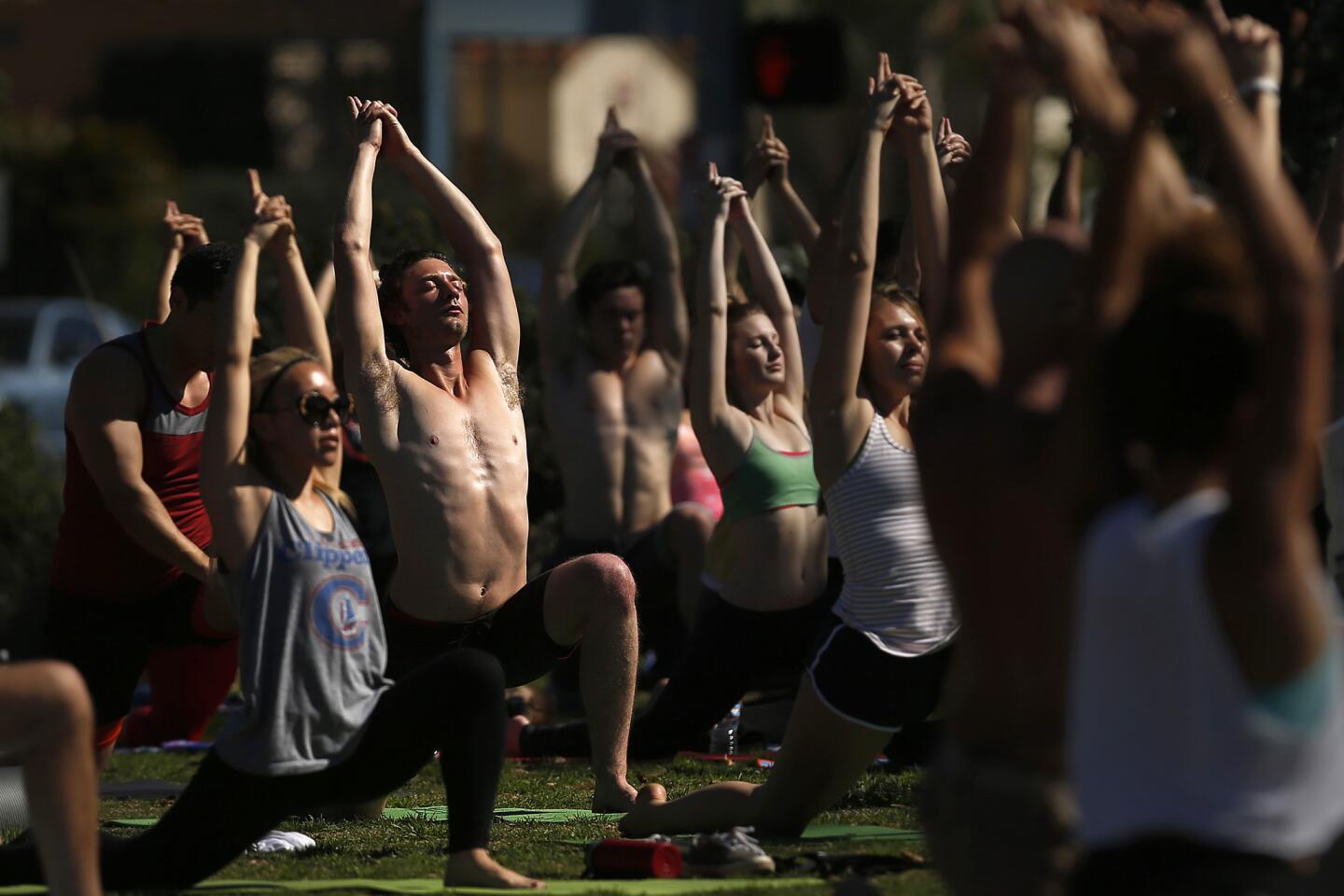
It was supposed to be one of the wettest Februaries on record. Instead, by one measure at least, it became the hottest.
At an average high temperature of 77.5, this February sailed almost two degrees above the previous record set in 1954, according to a Times analysis.
Monday’s reported high of 74 capped a 10-day spell of temperatures in the 70s and 80s. Those mild but abnormally warm days combined with two record heat spells earlier in the month to lift February 2016 into the lead, according to a Times analysis of weather data going back to 1878. The National Weather Service on Monday was withholding its official announcement to include another measure using a combination of high and low readings.
Applying Monday’s predicted low of 56 to that measure, The Times found that February would become the second warmest with a high-low average of 65.9, falling just four tenths of a degree below the record set in 1995.
Forecasters had thought last fall would be a period of intense rainstorms from El Niño. But after one big storm in early January, El Niño in Southern California fizzled out, at least for now. The weather system, however, did bring rain and snow to Northern California.
February’s record comes as California is in the fourth year of a major drought.
In a sign of the times, the Mountain High ski area, about 80 miles northeast of Los Angeles, closed Sunday because of warm weather and won’t reopen until new snow falls. The Wrightwood resort said it expects snow to hit Southern California around March 10 or 11.
Mountain High, which typically closes mid-April, called the closure a “break in the action,” but insisted the season isn’t over yet. Temperatures are expected to drop to the low 50s this weekend through early next week, according to the National Weather Service.
“Toward the end of the week, we do expect snow to fall at the resort,” said Robbie Munroe, a meteorologist with the weather service. “We’ll see rain and high-mountain snow starting Saturday evening, with snow showers at resort level Sunday and lasting into Monday.”
Forecasters also expect a series of storms to hit Northern California in the coming days. Officials hope they will boost the snowpack in the Sierras, which is a key source of water for the state.
Although it was hot in L.A., this February ranks only as the 37th driest. There have been seven Februaries with no rain at all, the first in 1885 and most recently in 1984, according to National Weather Service records.
The two hot spells last month, when downtown temperatures shot into the high 80s, were not unusual in themselves. Despite the flurry of record days early in the month, February did not produce any unusual streaks of hot days. There were similarly two heat spells in February 1954, but between them the temperatures dropped below normal.
Heat records fell Feb. 8, 9, 15 and 17 in downtown Los Angeles: a total of four record days but no streaks longer than two days. During that period, records also fell at UCLA and in the San Fernando Valley, creating the perception of nearly a week of consecutive hottest days when, in fact, no single station broke records more than two consecutive days.
From the long view, those streaks were not especially striking. It’s not unusual, for example, for heat records to fall on three consecutive days.
A Times analysis of National Weather Service records going back to 1877 shows that there have been 18 streaks of at least three days of record heat in downtown Los Angeles.
Like sports stats, record hot days and streaks can be engaging. But they don’t necessarily mean a lot.
They speak as much to the variability of the weather as any trend.
“The atmosphere is chaotic and has a certain randomness to it,” said Nicholas A. Bond, a research meteorologist at the University of Washington.
In that regard, the no-show of the El Niño rains was no more surprising than the summer heat.
“All this is kind of — in mathematical terms — a probabilistic thing,” Bond said. “It’s not like El Niño dictates these weather patterns. It just favors certain types rather than other types.”
As might be expected, more historic temperatures fall in the latter half of the 20th century, reflecting the warming of the climate. The 1980s and the 1990s have the highest number of record hot days.
However, even though average temperatures have inexorably climbed over the last three decades, the year with the most record days — 13 — was 1971.
There could be many reasons for that, said Kevin E. Trenberth, distinguished senior scientist with the National Center for Atmospheric Research.
Even though all the readings were taken at the same place, the USC campus, the location itself could have changed, Trenberth said.
“How has the exposure changed? “Trenberth asked. “Where are the nearest freeways and sources of pollution? Construction typically has an urban heat island effect, mainly keeping things warmer at night, but also keeping things drier and so less evaporative cooling. Shading keeps thing cooler. Air conditioning might warm things up outside.”
Among all possible variables, smog might be the most obvious. It was much worse in the 1970s than it is today.
“The pollution may affect fog or clouds,” Trenberth said. “All of those things matter for records.”
ALSO
Passenger bus teaches Google robot car a lesson
Apple wins a round in fight over accessing locked iPhones in criminal investigations
Are climate-change adaptations tied to protecting property or people? Study follows the money
More to Read
Sign up for Essential California
The most important California stories and recommendations in your inbox every morning.
You may occasionally receive promotional content from the Los Angeles Times.
