Drivers describe long night on road as mudslides engulf nearly 200 vehicles
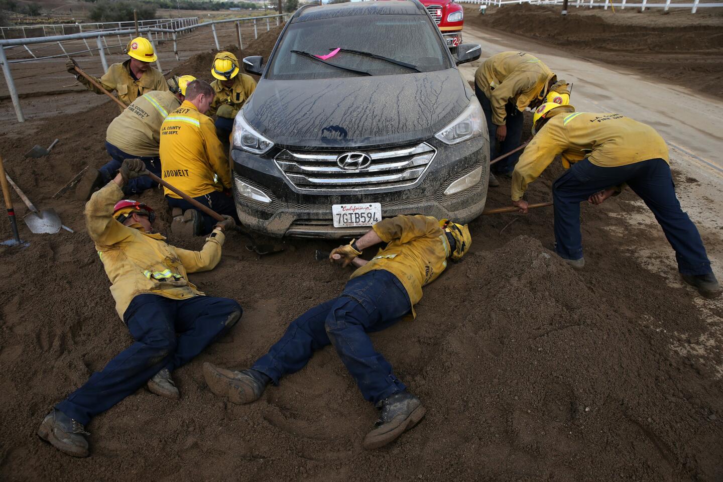
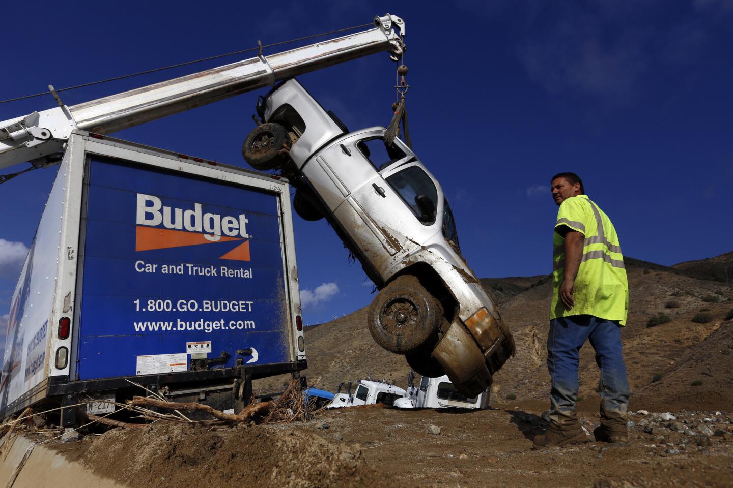
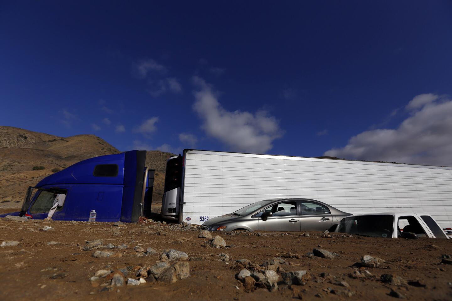
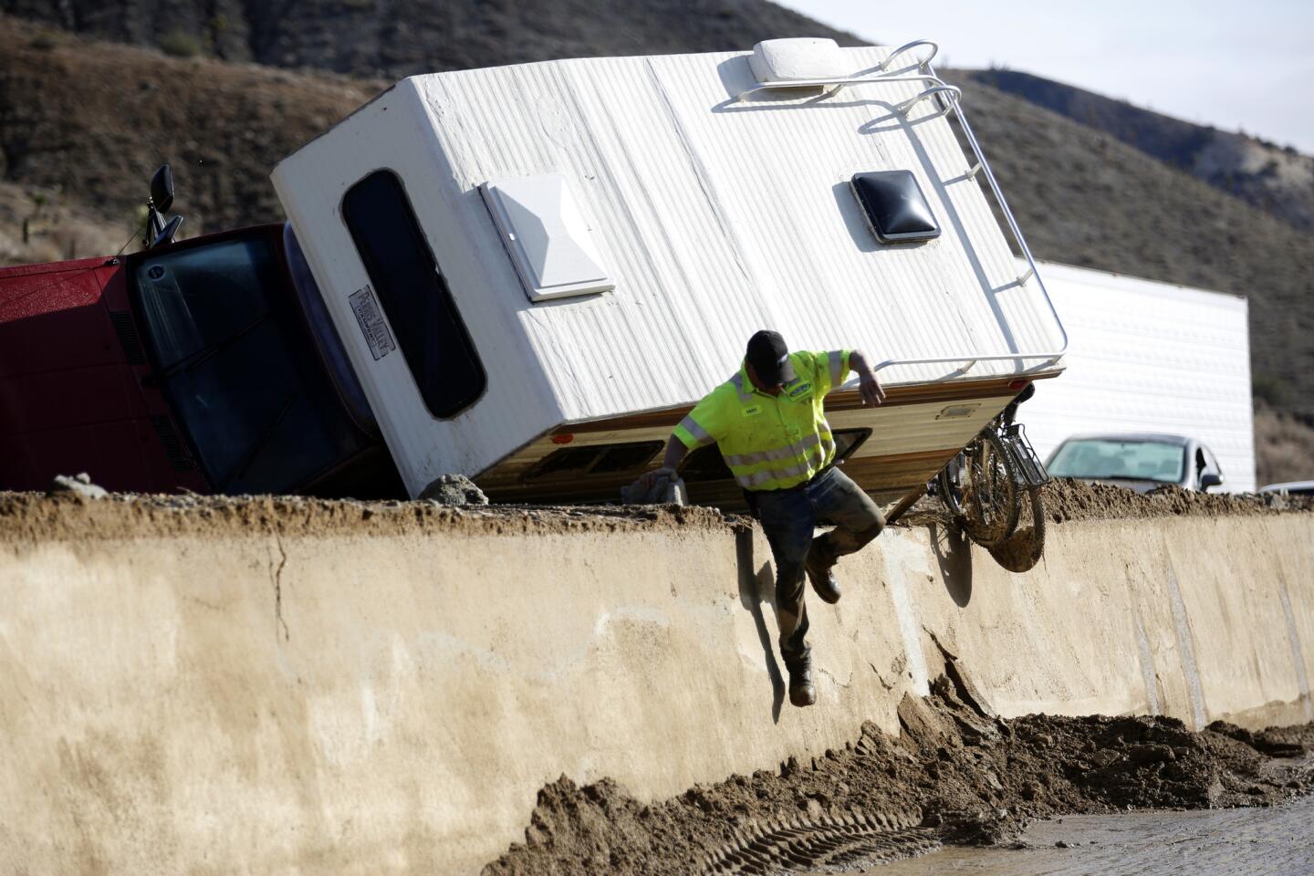
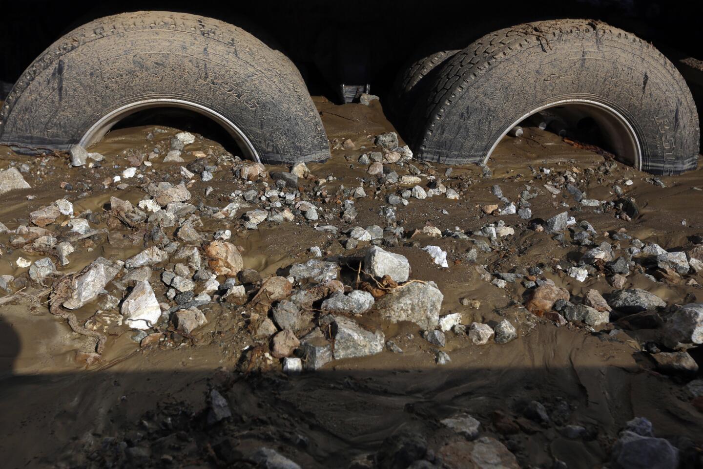
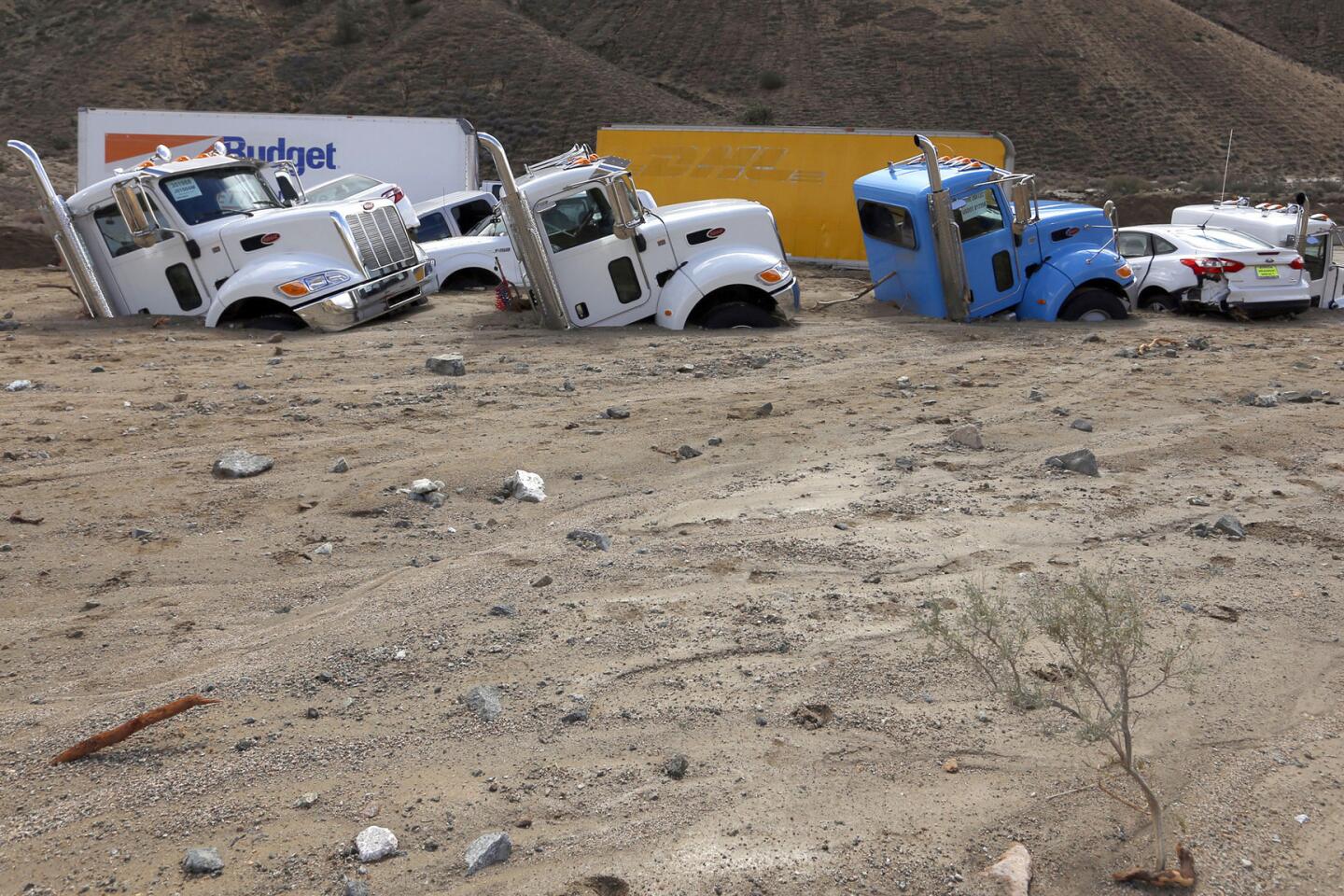
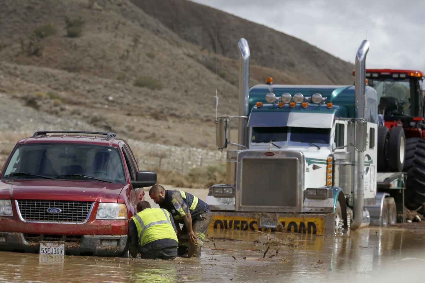
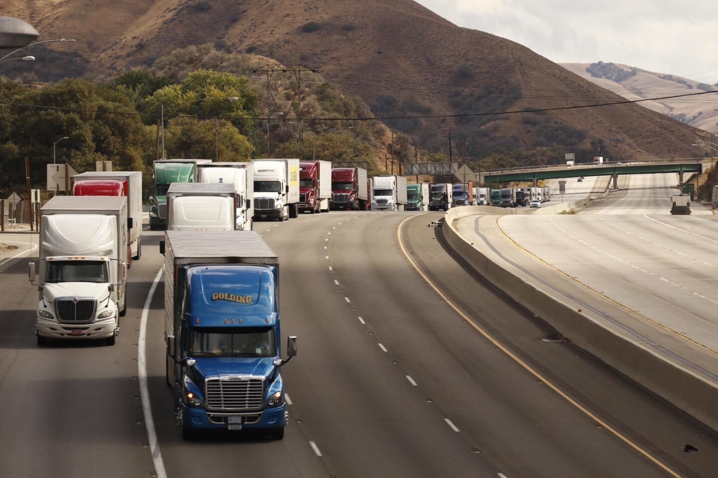
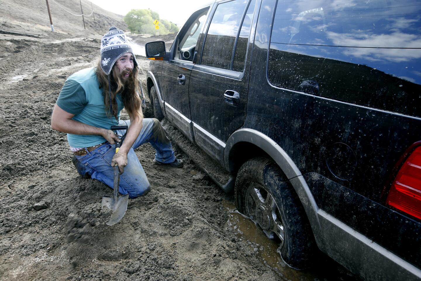
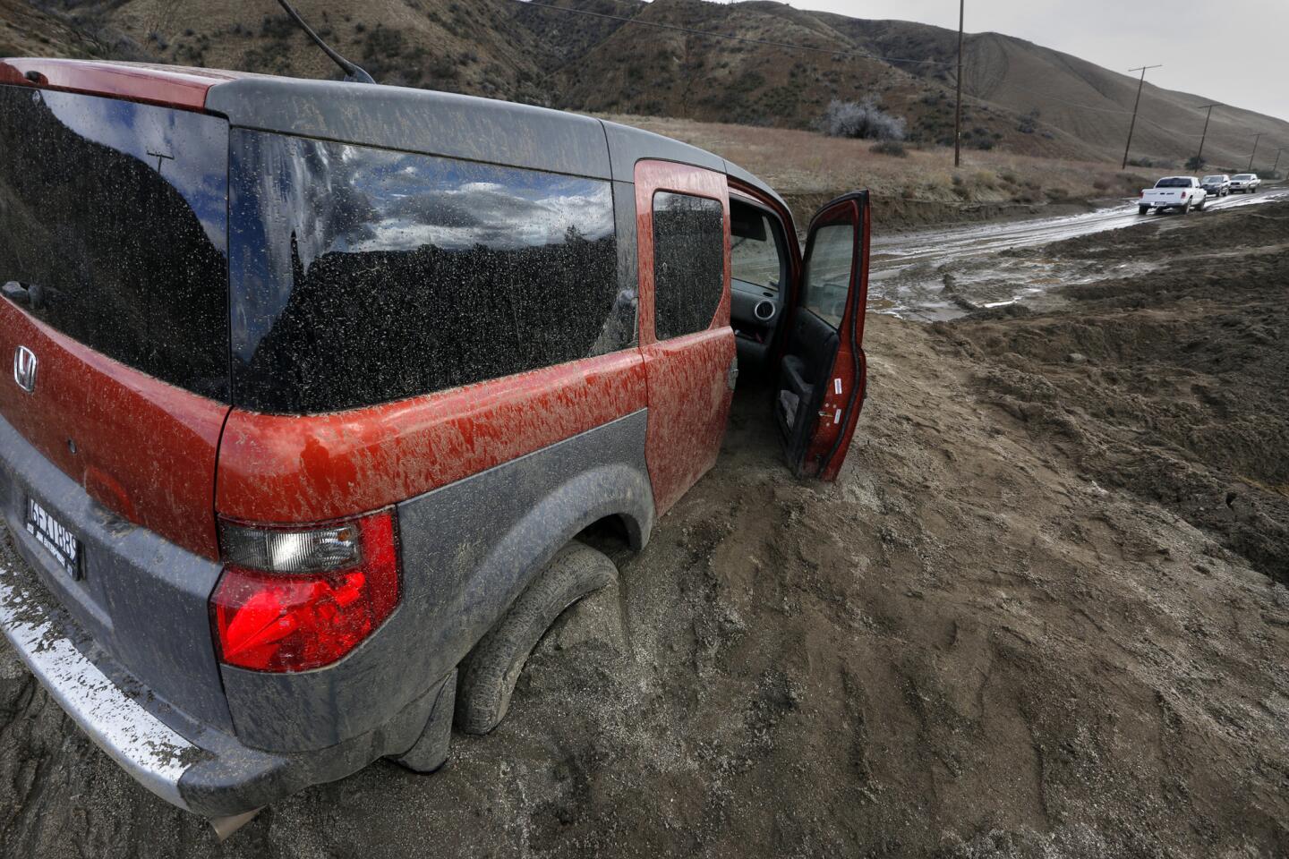
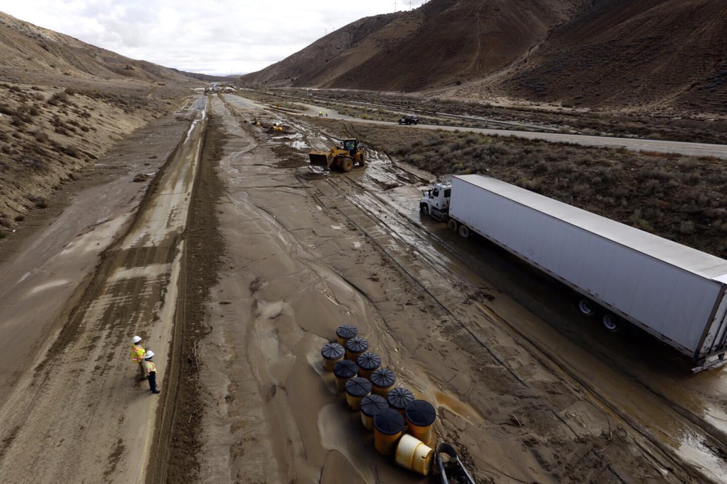
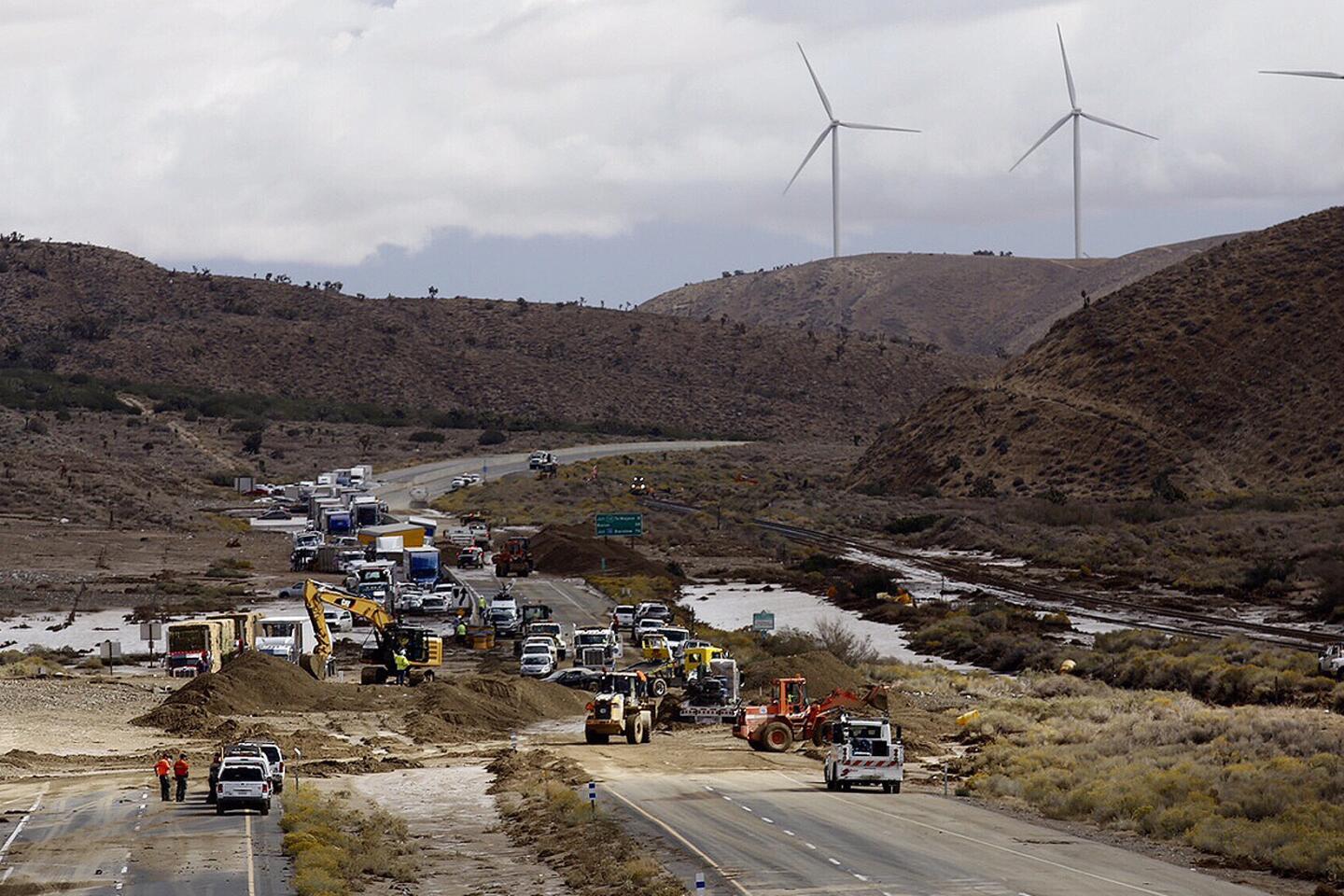
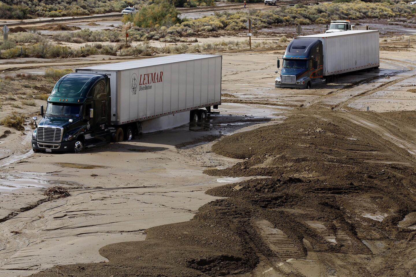
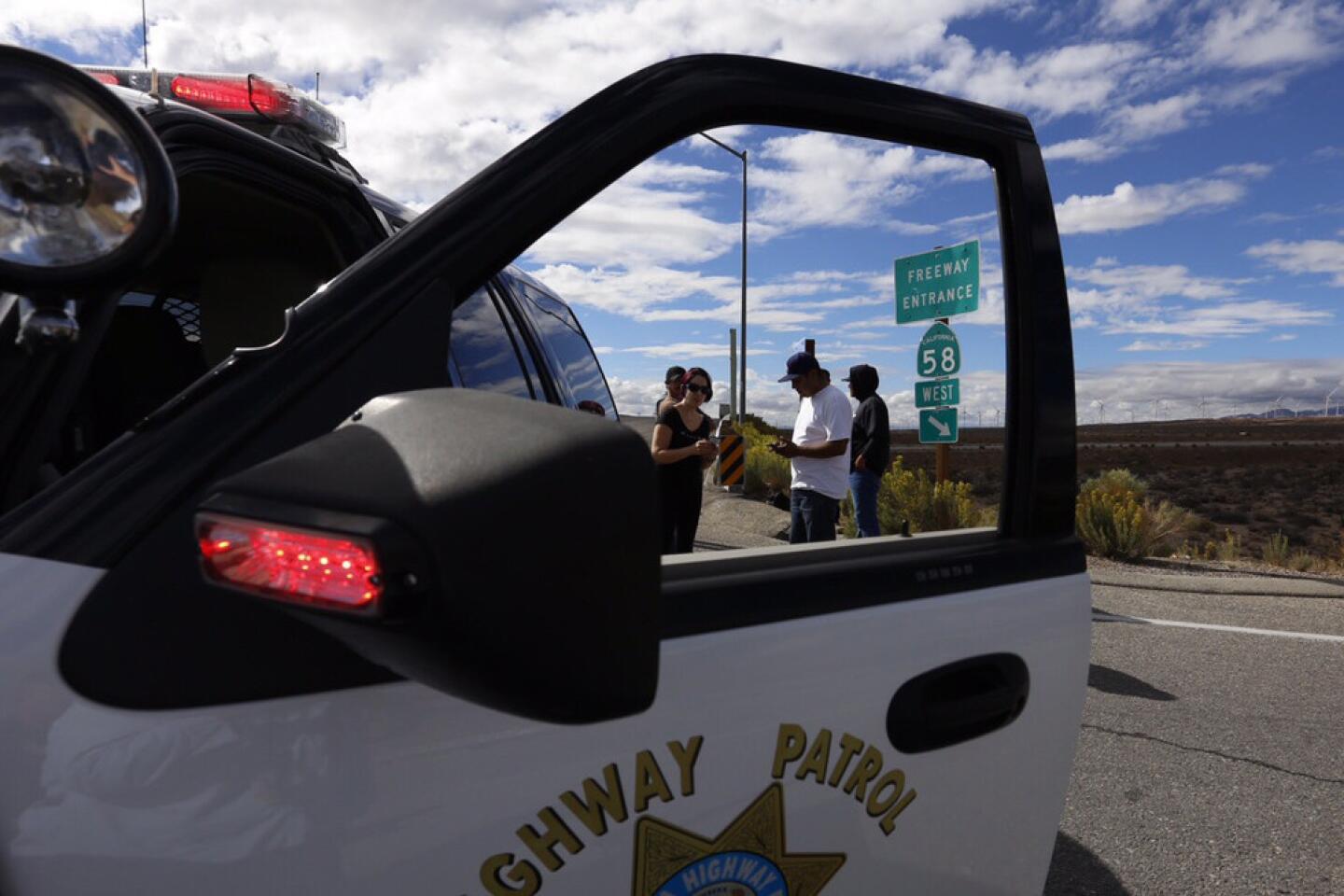
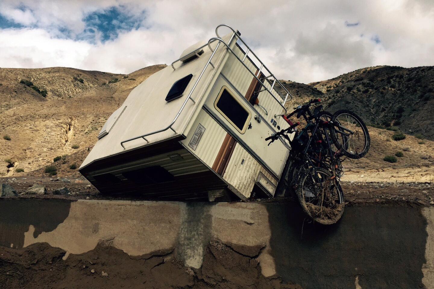
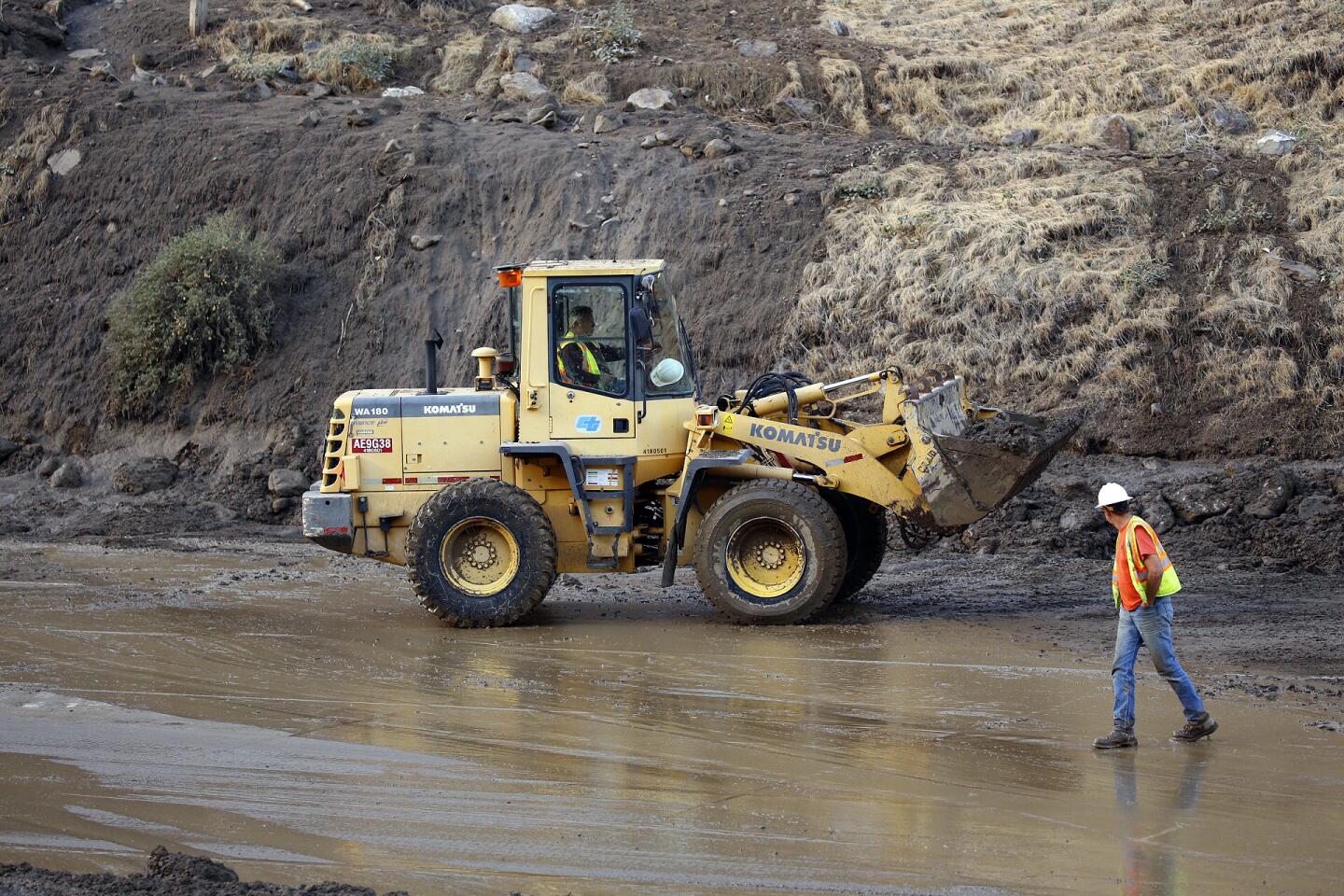
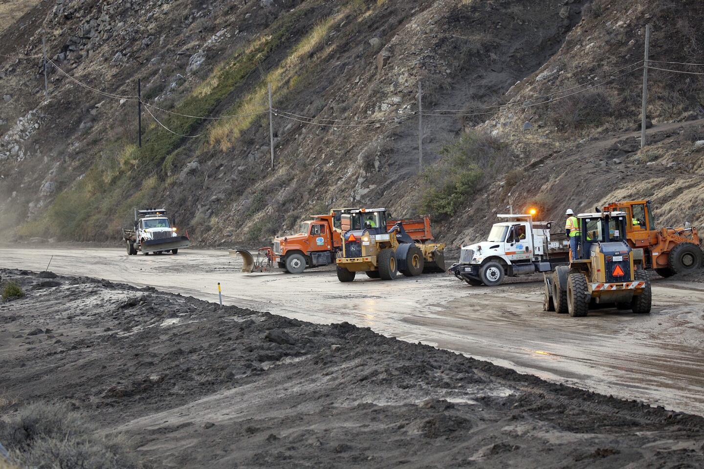
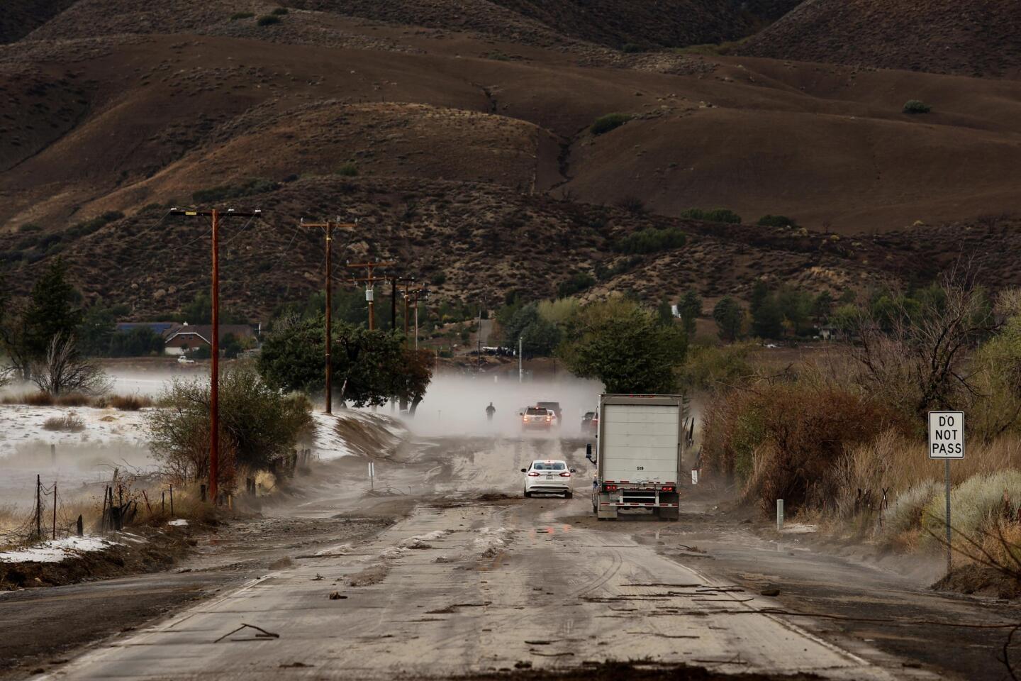
Nearly 200 vehicles, including 75 tractor-trailers and two tour buses carrying passengers, were trapped on California 58 east of Tehachapi in up to 20 feet of mud and debris after torrential rains pummeled the area and forced drivers to flee.
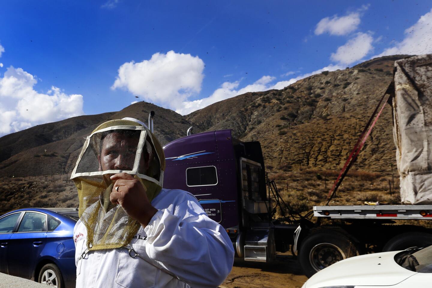
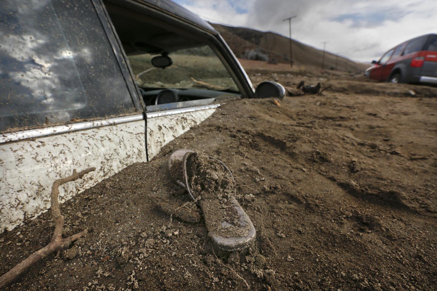
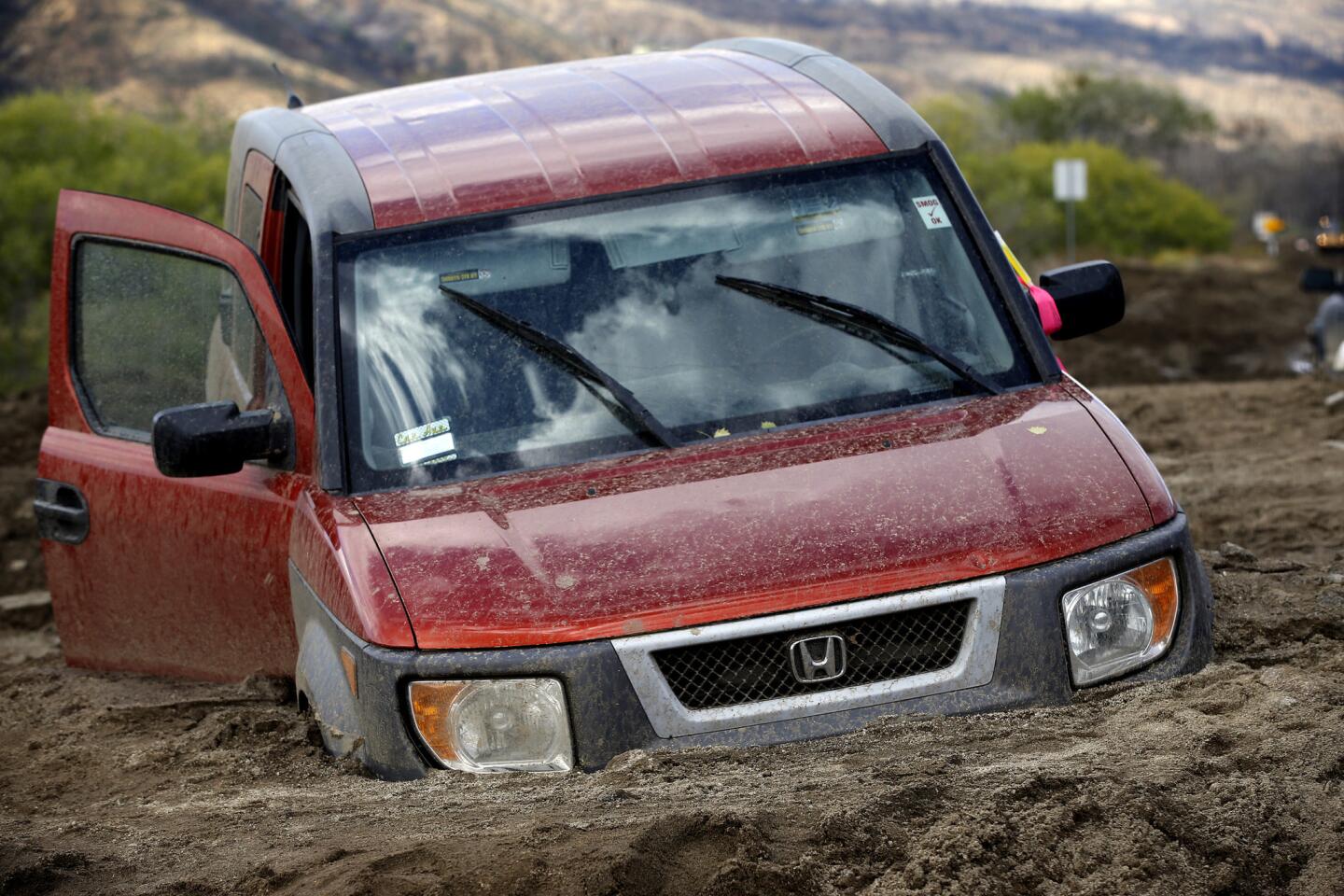
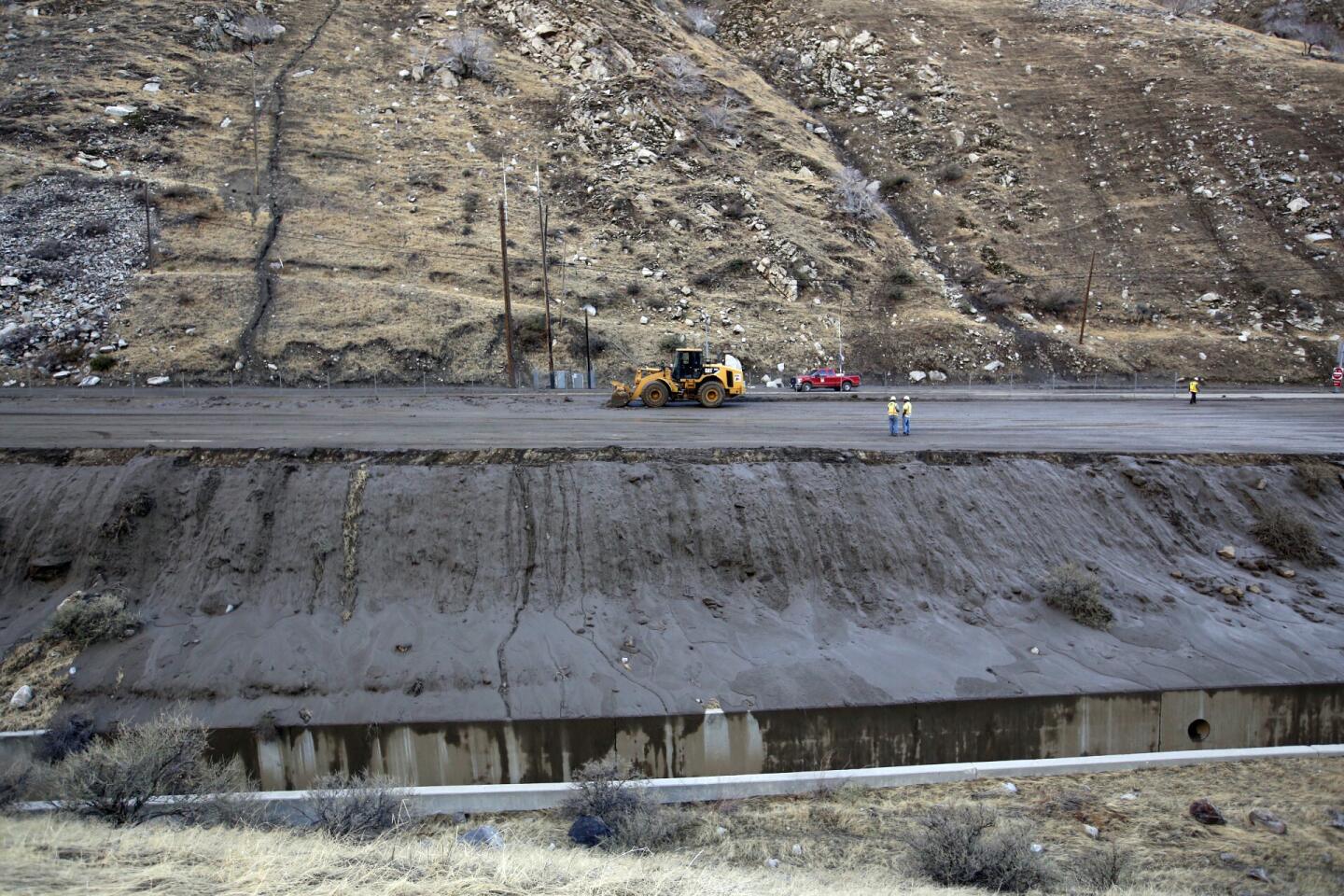
Multiple mudslides hammered the highway just east of Sand Canyon between 4 p.m. and 5 p.m. as commuters traveled on Tehachapi Pass, a crossing in the Tehachapi Mountains in Kern County, said Ray Pruitt, spokesman for the Kern County Sheriff’s Department. Authorities said 115 vehicles, tractors-trailers and the tour buses were swallowed by several feet of mud.
“I have never seen slides like this,” Pruitt said.
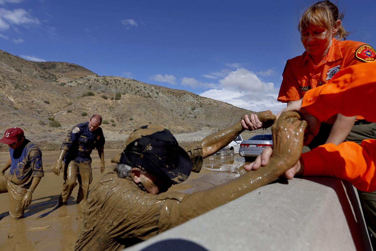
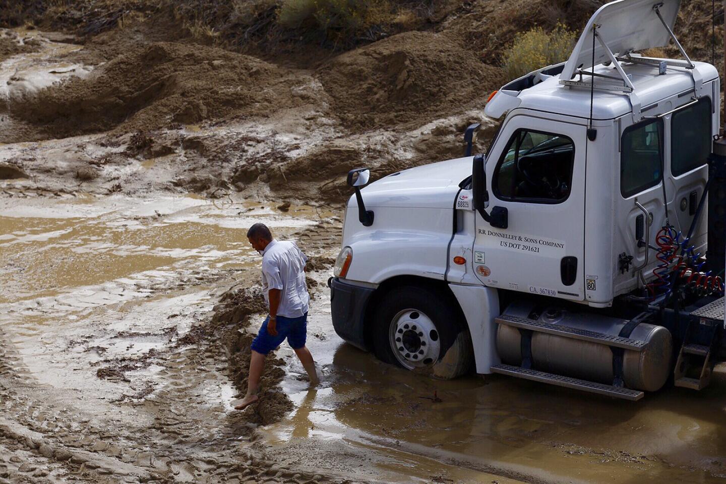
Trapped in the mud as high as 20 feet, drivers were forced to abandon their vehicles or had to be rescued as mud swept over the highway. More than 200 people were moved to three shelters in Mojave and Tehachapi.
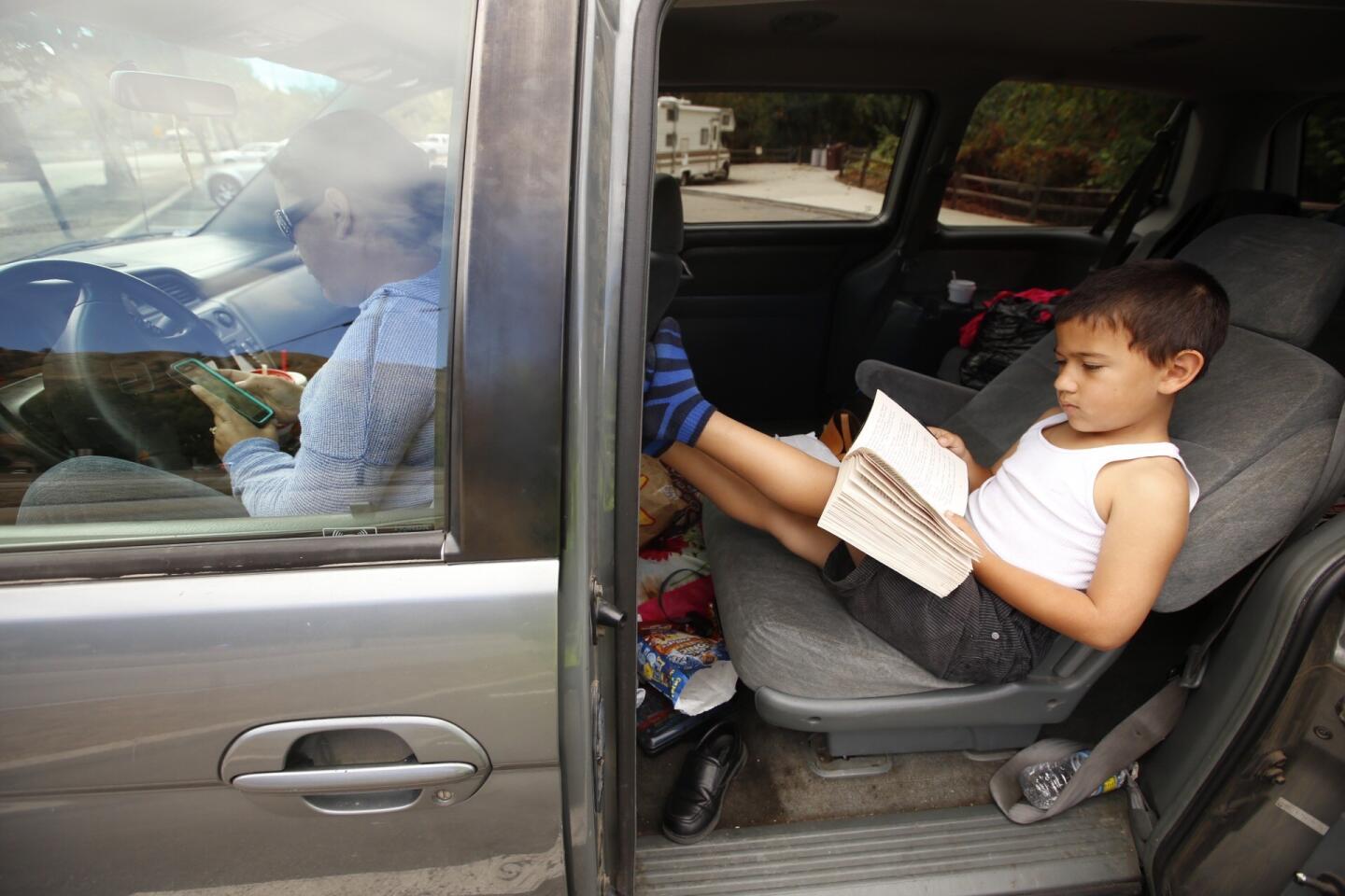
But a handful of drivers opted to stay with their vehicles overnight, he said.
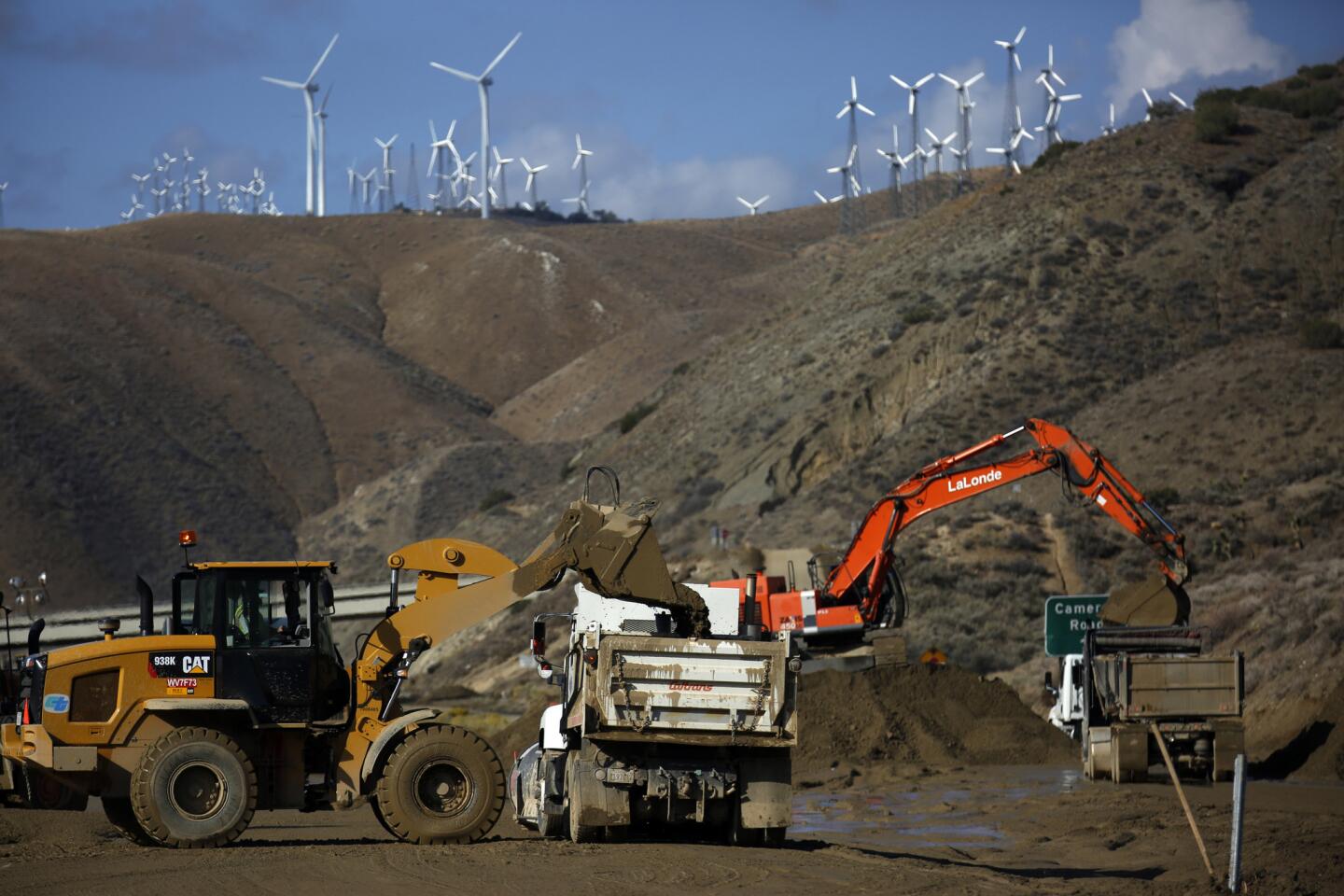
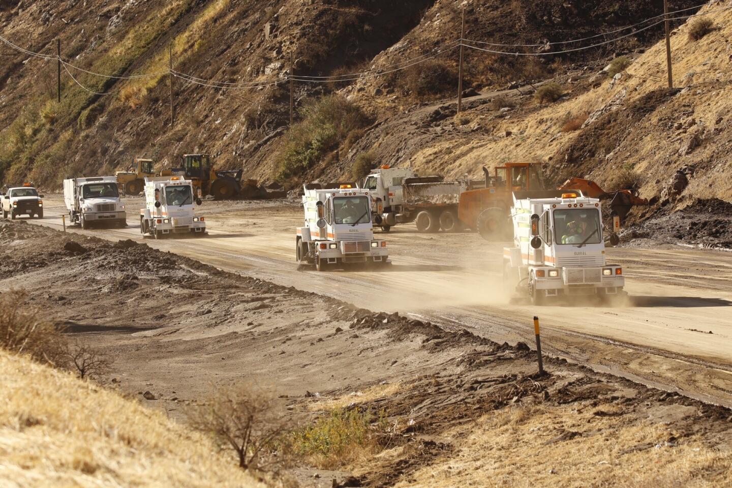
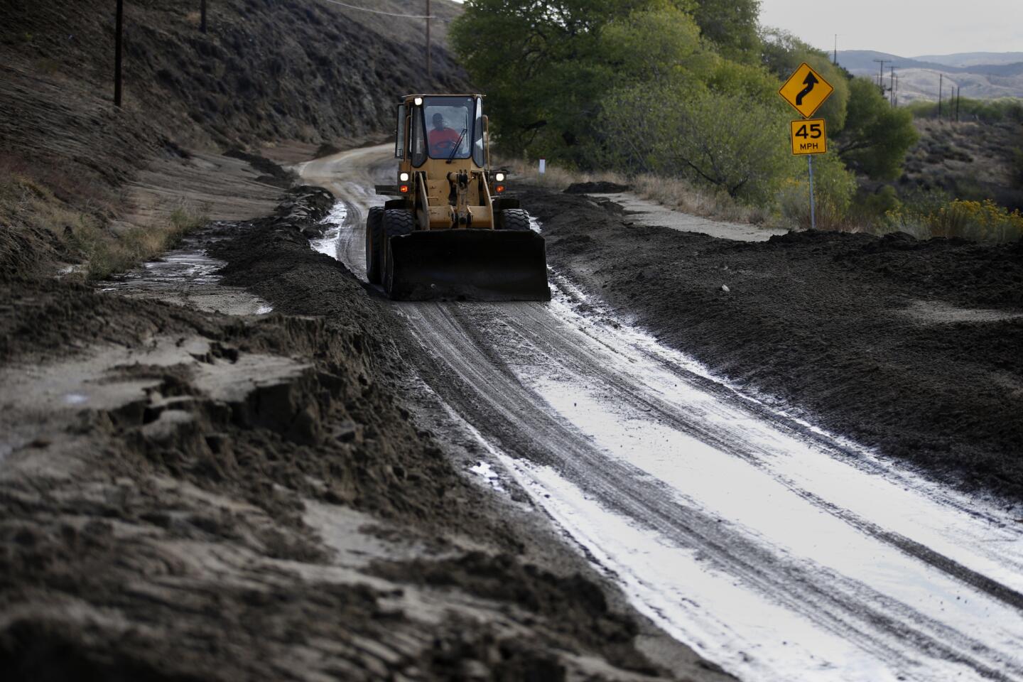
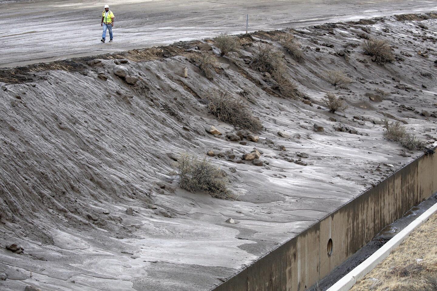
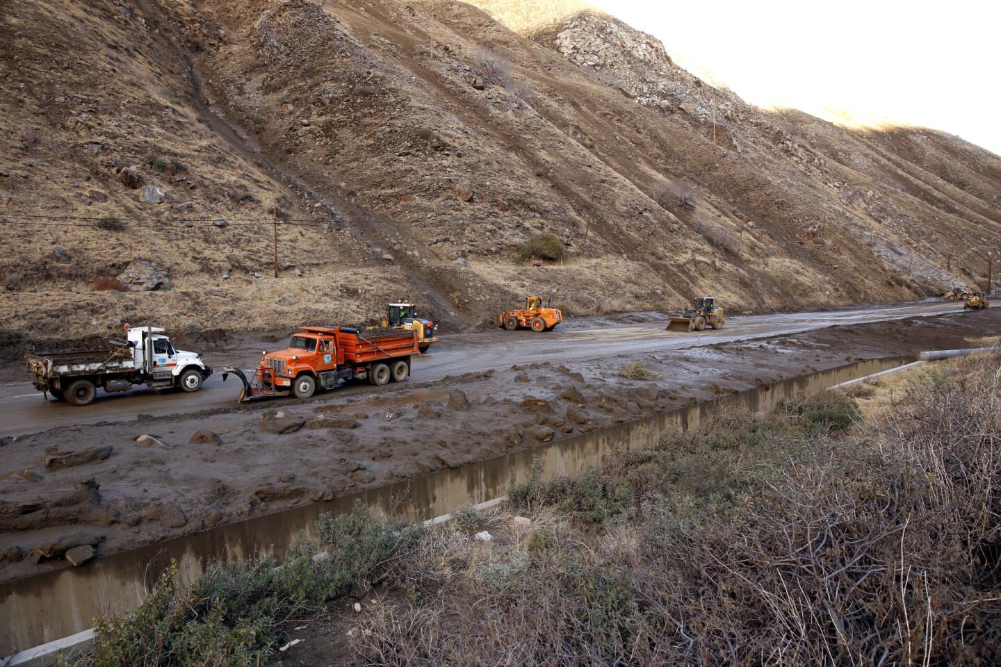
Rescue crews have pulled most drivers from their vehicles, but were still working Friday morning to dig through nearly a mile-long stretch of mud and debris, officials said. No injuries were reported.
The cleanup could take days.
“That’s going to be a long process,” he said. Pruitt had one piece of advice for drivers: “Avoid the area.”
Trucker Shannon Doyle was driving east on the 58 when rain and hail poured down. As traffic ground to a crawl, truckers began communicating on their radios.
“Everyone was saying, ‘Can’t see. Can’t see,’” Doyle said.
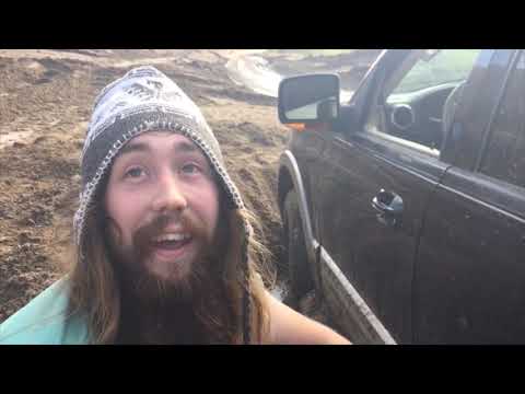
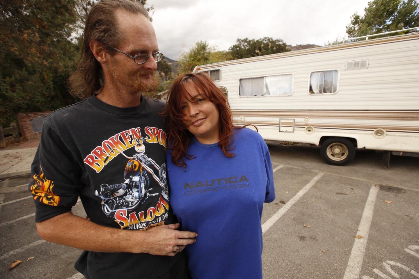
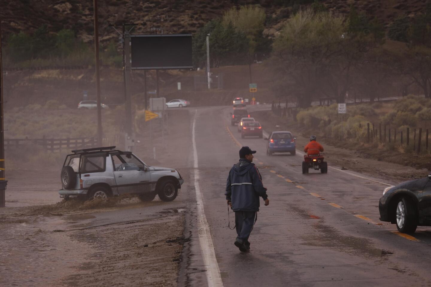
Tony Hemming of Elizabeth Lake describes his attempt to drive through the mud and debris on Highway 58 that has stranded dozens of motorists.
The Fresno resident looked to his left and saw what looked like a large waterfall pouring from a canyon. Then in an instant, the flowing water and mud from the canyon came down and swooped over the vehicles stalled in the traffic jam, he said.
“It was just a mess,” Doyle said.
Doyle remained in his truck until 9 p.m. Thursday, when he finally mustered the courage to venture outside his cab. As he and other truckers scanned the sea of mud and cars, Doyle saw four women, covered in mud from head to toe, gripping their purses and blankets, their feet sloshing on the highway.
Search and rescue crews appeared around midnight, followed by heavy equipment that began excavating the mud. At about 2 a.m., a helicopter flew over the highway and shined a spotlight over the mountain.
“We couldn’t go anywhere,” Doyle said. “We couldn’t do anything. It was crazy.”
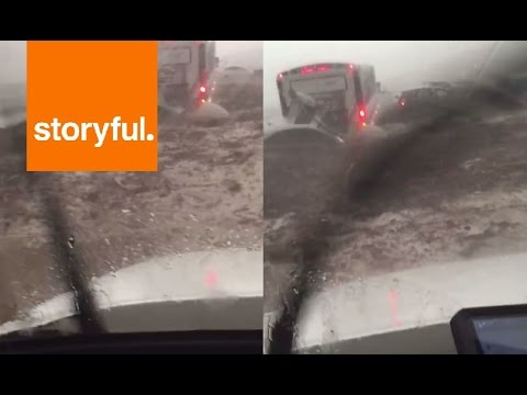
By morning, crews had dug away enough mud to allow tractor-trailers carrying horses and cattle to drive away.
At 9 a.m. Friday, Doyle was finally able to turn his truck around to head back to Fresno.
David Zensius and Dave Richard attended a business meeting Thursday at Tahoe Ranch, near the Grapevine, and were heading home on the 58.
“It was very, very intense rain,” Zensius said. “The wipers couldn’t keep up with it.”
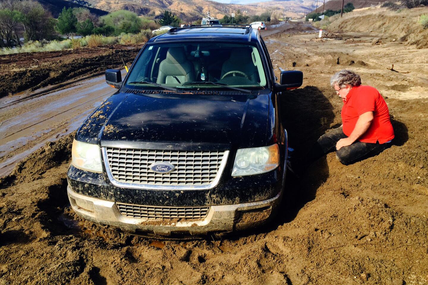
As the rain came down, the road began to flood. Vehicles floated in the rising water and were pushed into each other, Zensius said. At about 6 a.m. Friday, they boarded on a bus that took them to Mojave High School, one of three shelters opened for people stranded by the flooding. Their Ford Escape remained on the westbound 58. “Thankfully we weren’t hurt. It’s just been a really, really long trip.”
“Our cars were kind of squashed against each other,” Zensius said. “They looked like little toy cars.”
El Tejon Unified schools and Mojave Unified schools were both closed Friday because of the mudslides. No damage was reported at the schools, but the mudslides made getting to campus difficult.
In Northern Los Angeles County, Interstate 5 through the Grapevine, a major north-south artery for commuters and truckers in California, was closed for a time Friday after dozens of vehicles were engulfed in several feet of mud and debris.
All southbound freeway lanes were closed between Parker and Grapevine roads, according to the California Department of Transportation. The northbound lanes were reopened after 12:30 p.m., but the southbound lanes will remain closed until 5 p.m., the California Highway Patrol said.
As crews work to scoop and haul mounds of mud and debris from the roadway from Thursday’s flash flood, forecasters said another round of thunderstorms were possible Friday afternoon.
Strong thunderstorms could produce heavy rain over the deserts and mountains of Los Angeles and Kern counties, forecasters said. The slow-moving thunderstorms could result in more flash floods and mud and debris flows, according to the National Weather Service.
A flash flood watch remains in effect until late Friday.
Forecasters say drivers should immediately turn around if they come across swift moving water on the road. If it’s too late, drivers should get to higher ground or proceed slowly. Check the brakes afterwards to make sure they’re functioning properly.
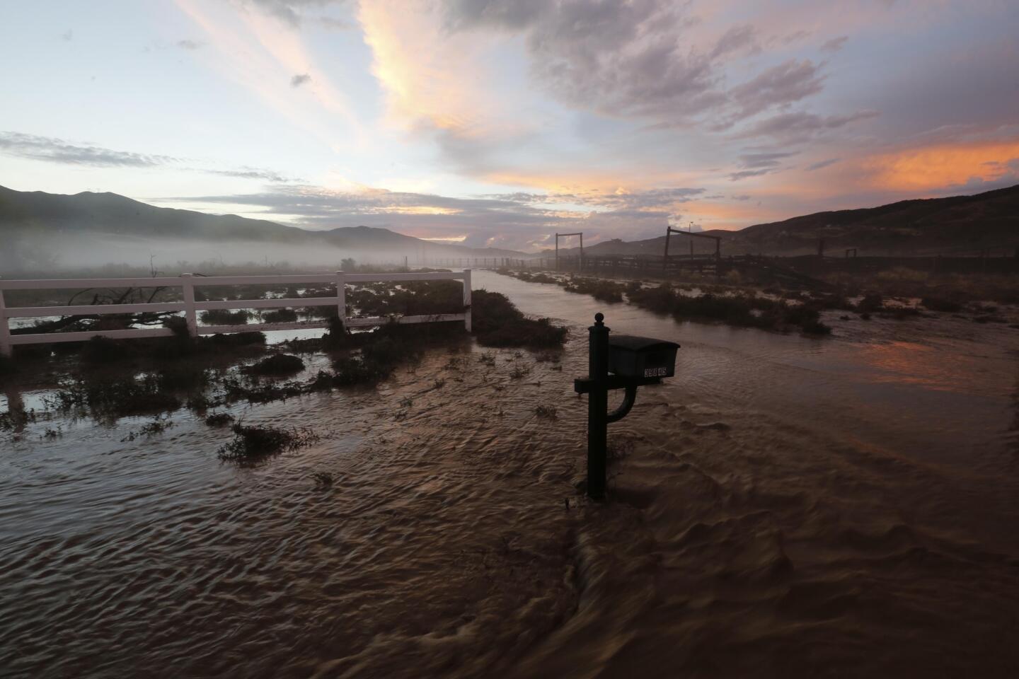
A series of heavy downpours Thursday pummeled northern Los Angeles County, causing mudslides and flash floods that inundated roads, trapped drivers and forced the closure of nearly 40 miles of the 5. Golf ball-sized hail pounded Lake Hughes and parts of Palmdale.
Firefighters used an aerial ladder to rescue six people and their dogs stranded on the roofs of two homes.
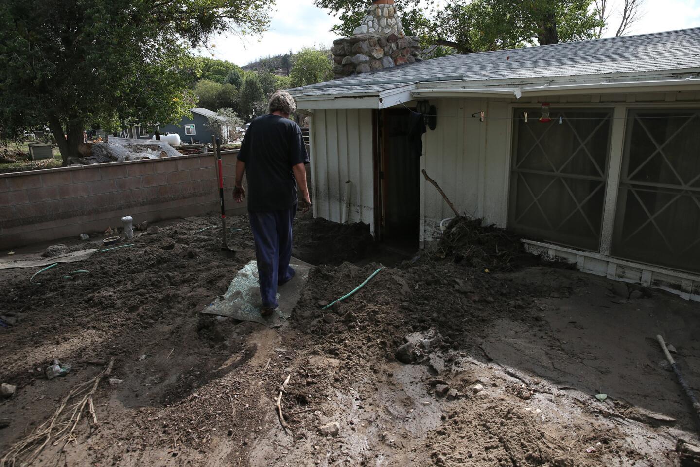
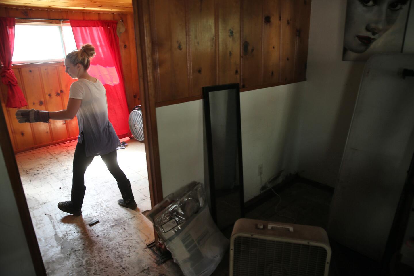
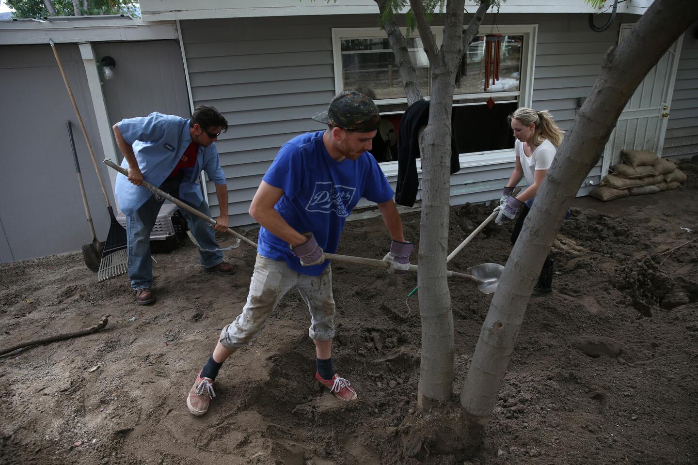
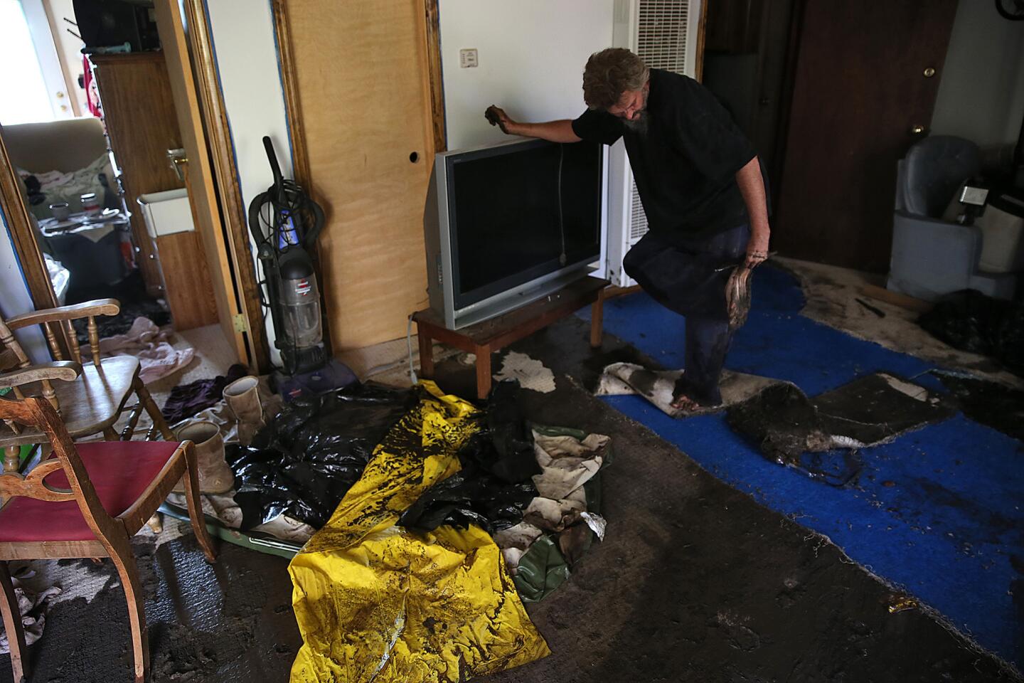
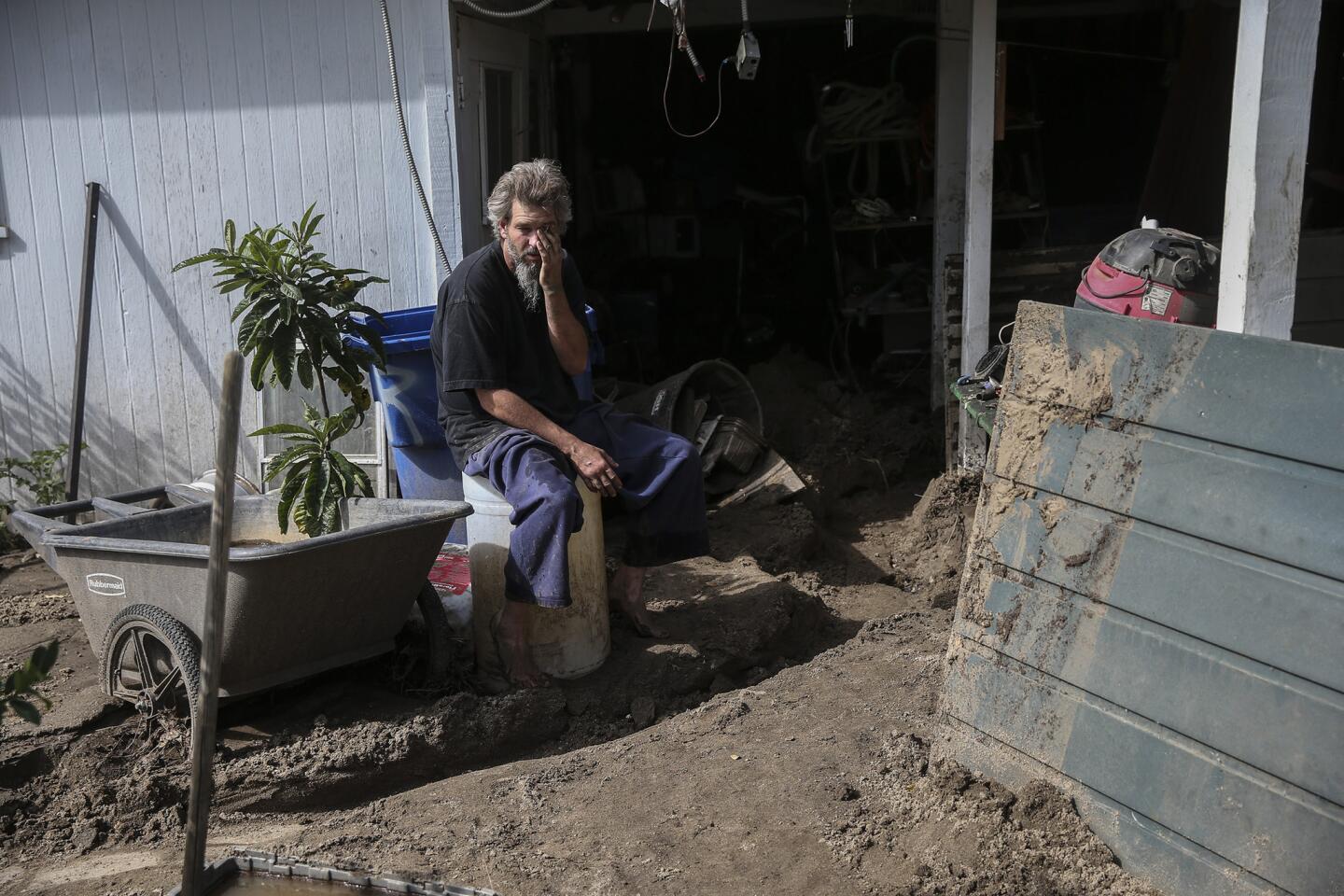
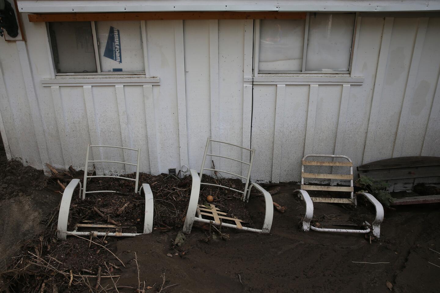
In the Elizabeth Lake area, mud surrounded homes. A helicopter was used to rescue two other people trapped in an SUV partially submerged in rushing water. Two horses trapped in a mud flow were also pulled to safety. No injuries were reported, according to the Los Angeles County Fire Department.
The Leona Valley, just west of Palmdale, was the hardest hit, with rain falling six inches an hour and winds gusting to 60 mph at 4:20 p.m., according to the weather service. The storm eventually diminished, but as it moved eastward, it brought record daily rainfall to Palmdale. Ten homes were damaged in Palmdale, city officials said.
U.S. Sens. Dianne Feinstein and Barbara Boxer on Friday sent a letter to the Department of Homeland Security, U.S. Department of Agriculture and the Army Corps of Engineers, asking them to describe the measures taken to prepare for floods and mudslides.
“Given four years of historic drought, a devastating fire season, and likelihood that a strong El Niño will bring heavy rains to California, the risk of flooding is dangerously high,” the California senators wrote. “We are already seeing the potential for disaster.”
John Dumas, a meteorologist with the National Weather Service, said Thursday’s storm was part of the same system that hit Southern California more than a week ago.
The storm, which was lingering off Baja California, had been circling over Southern California for days and finally settled over mountains and deserts of northern Los Angeles County and eastern Kern County, Dumas said. Once it hung over the area, the slow-moving storm dumped a large amount of rain and formed new storm systems.
The thunderstorms are not El Niño-related, even though they look a lot like they are, he said. These storms are typical for October, he said.
Rains from El Niño usually appear in December and January, bringing mudslides and widespread flooding.
“The effects of those storms could be similar to this one,” he said.
The strong showers and thunderstorms are expected to continue through Saturday, National Weather Service meteorologist Joe Sirard said.
A low-pressure system spinning over Point Conception off the Santa Barbara County coast will allow an unstable and moist air mass to linger over the deserts and mountains Friday. Thunderstorms could produce hail and erratic wind gusts.
The chance of mountain and desert thunderstorms will diminish on Saturday and Sunday, the weather service said.
By Tuesday and Wednesday, temperatures are expected to heat up and Santa Ana winds could develop, making for dangerous fire conditions, forecasters said.
Los Angeles Times staff writer Stephen Ceasar contributed to this report.
For breaking news in California, follow VeronicaRochaLA on Twitter.
ALSO:
Congressmen want probe of ExxonMobil ‘failing to disclose’ climate change data
El Niño rains forecast to reach far into Northern California, where they’re most needed
1 killed, 3 hurt when L.A. sheriff’s deputies hit pedestrians while responding to call
More to Read
Sign up for Essential California
The most important California stories and recommendations in your inbox every morning.
You may occasionally receive promotional content from the Los Angeles Times.
