A changing climate at Mono Lake could mean more dust storms in the Eastern Sierra — or less water for L.A.
When dust storms began rising off the dry bed of Owens Lake, authorities in the Eastern Sierra blamed Los Angeles’ thirst. The city had, after all, drained the lake in the 1920s to serve its faucets.
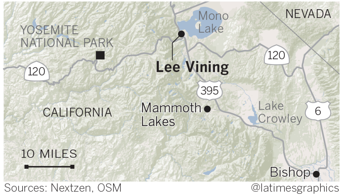
Now, as dust kicks up from Mono Lake, authorities in the Eastern Sierra are once again blaming that water-craving metropolis about 350 miles to the south.
But this time, they’re also blaming climate change.
Since 1994, a landmark State Water Resources Control Board decision has capped L.A.’s diversions of the streams that feed Mono Lake, defusing for a time one of California’s most protracted environmental battles.
Scientists say climatic shifts, however, are bringing less snow to the Sierra Nevada and less snowmelt to Mono Lake. That means if Los Angeles keeps taking its allocated share, it will lead to a decline in lake levels and increased health risks for those exposed to windblown dust from the receding shoreline, according to the Great Basin Unified Air Pollution Control District.
To protect Mono Basin’s ecosystem and airshed, regulatory officials say, will require drafting new predictive models of precipitation, temperature and evaporation rates to control diversions into an aqueduct system that has transformed the ancient brine lake into the largest source of powder-fine air pollution in the United States.
Of particular concern are particulates of 10 microns or less, which are regulated by state and federal laws because they can lodge deep in the lungs, causing respiratory injuries. Dust storms at Mono Lake exceeded federal health standards 33 times in 2016, officials said.
The Los Angeles Department of Water and Power takes issue with the Great Basin district’s warning that more restrictive measures may be needed to meet clean air standards.
“We’re headed for a showdown with Los Angeles; no doubt about it,” said Phillip Kiddoo, air pollution control officer at Great Basin.

“The best way to control Mono’s airborne particulates is to raise the lake level, submerging exposed areas of lake bed prone to dust storms,” Kiddoo said. “To do that, however, L.A. has to agree to further reduce its annual exports of water, which isn’t likely.
“While we cannot interfere with L.A.’s water conveyance system, we could file a lawsuit,” he said. “And California health and safety codes give Great Basin authority to assess the city for our legal expenses.”
Rich Harasick, the DWP’s senior assistant general manager of the water system, said further reductions of its water exports aren’t needed. Since the water board’s 1994 decision, he said, the utility’s diversions have had “a very limited influence on Mono Lake’s elevation.”
Today, he said, the lake level is mainly influenced by weather conditions, which are affecting watersheds in which it operates throughout the Eastern Sierra.

“The facts on the ground have changed from what we knew even a century ago,” the DWP said in a statement released in May to explain its sudden move to limit water available for cattle grazing in Mono County. “There is a trend of overall less water in the Eastern Sierra. Whether you call it prolonged drought or climate change, the water is not reliably there.”
To hear Kiddoo tell it, the DWP remains a responsible party because its diversions set the stage for the air pollution problems at Mono Lake and at Owens Lake, about 140 miles to the south, where it has spent more than $1 billion to control dust.
In a recent controversial report, Kiddoo recommended that hydrologic and forecast data used by local, state and federal agencies to manage the Mono Basin watershed be updated “as soon as possible” with predictive scenarios that take into account the effects of climate change.
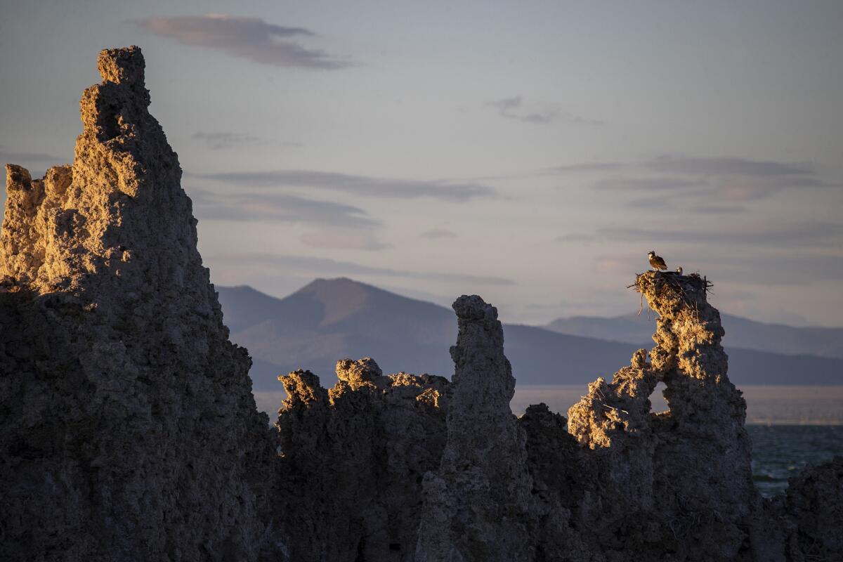
The implications stretch far beyond the high desert lake east of Yosemite National Park best known for its towering, craggy tufa formations.
“A lot of assumptions about California’s water systems were based on 20th century conditions,” said Alex Hall, a professor of atmospheric and oceanic sciences at UCLA. “Clearly, these data baselines need to be reevaluated.”
Hall’s studies revealed meteorological trends he believes are likely to accelerate in decades to come throughout the Sierra Nevada range: Temperatures are warming, snowpack is getting smaller and melting earlier in the year, and less winter precipitation is arriving as snow in the first place.
A combination of ongoing diversions and quick shifts in extreme weather conditions is making it increasingly difficult to meet the requirements of the state water board decision, Kiddoo said.

In 1994, the board required that the level of Mono Lake be raised to 6,392 feet above sea level by significantly reducing the diversions from streams controlled by the city.
Soon after, the lake level began to rise. The best available forecast models at the time predicted the lake would achieve the targeted elevation in 20 years.
All that changed in 2012 with the onset of a severe five-year drought that caused lake levels to drop sharply. That dry cycle was followed by a snowpack-fueled deluge of runoff that added 5 feet of water to Mono Lake, nesting grounds for an estimated 50,000 California gulls.
Overall, however, the lake has stubbornly fluctuated at about 10 feet below the target level, which Kiddoo says may be evidence that current conditions such as historic precipitation, groundwater flows and evaporation rates “are significantly different” from those used by the state water board in 1994.
The board originally had planned to hold a hearing in 2014 to determine whether further revisions to the city’s water export licenses were appropriate.
The hearing was postponed for six years. Tim Moran, a spokesman for the water board, declined to say what, if any, measures will be taken if the lake level fails to reach the target level by 2020.
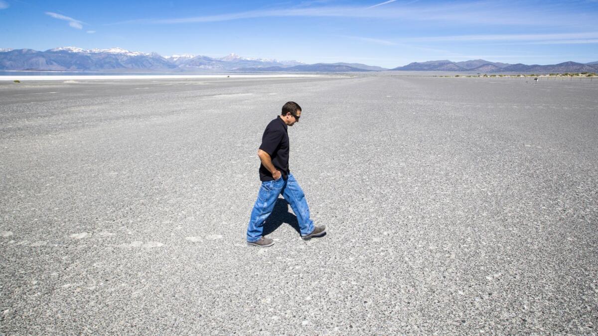
A long line of driftwood and splintered lumber separated from the water’s edge by a quarter of a mile of dusty salt flats marks how far the shoreline has retreated since Los Angeles started diverting water in 1941.
Formal protests began with a lawsuit that residents and environmental groups filed in Mono County Superior Court in 1979 against the DWP — an agency distrusted by many in the Eastern Sierra since the turn of the 20th century, when Los Angeles agents posed as ranchers to buy land and water rights in the region.
The suit alleged violations of public trust and the creation of a public and private nuisance by exposing 14,700 acres of former lake bed.
The declining water level revealed a land bridge connecting an island rookery to the shore, allowing coyotes to pad across and feast on gulls and their nests.

In 1983, the U.S. Supreme Court let stand a ruling that environmentalists had the right to challenge the amount of water Los Angeles was exporting from the tributaries. A decade later, the state water board ordered minimum flows restored for the diverted streams and set the minimum water level for Mono Lake.
Recent studies suggest that a prolonged series of drought years could extend the period for the lake level to reach the target to 38 years, DWP officials said.
In the meantime, Kiddoo has his work cut out for him.
Bringing his pickup truck to a stop along a dirt road edged with sand dunes and greasewood near Mono’s lonely northeastern shoreline, he said, “I want to show you something.”
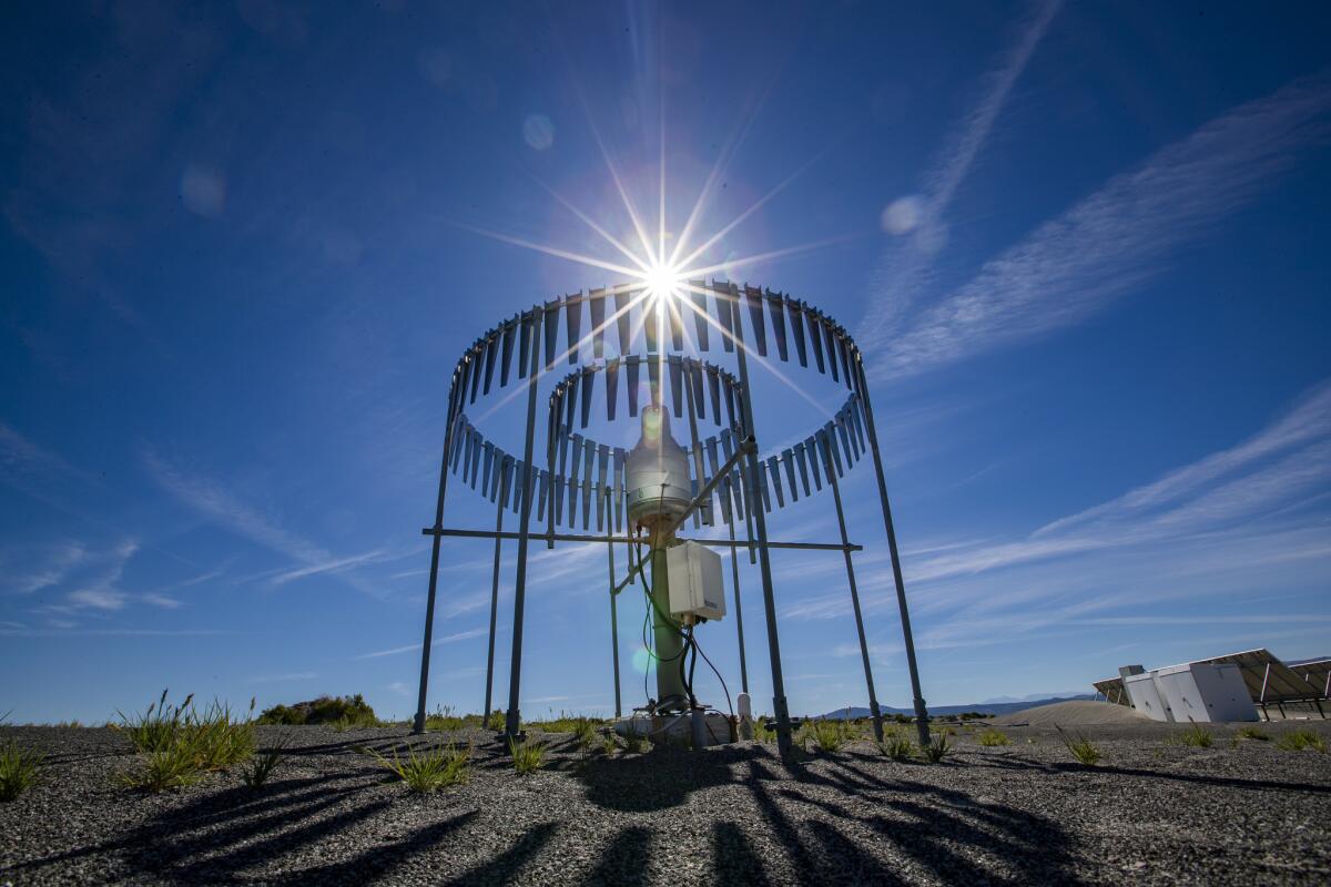
Moments later, he was tramping across salt flats dotted with air pollution monitoring devices that chronicle the dust storms that kick up each year in spring and fall.
“Sadly, the data collected here shows that on windy days we have the worst air in the nation,” he said. “That’s a serious problem for folks downwind and around the world because some of that pollution gets carried off in the jet stream.
“The bottom line: This is public air, and everyone deserves the right to breathe clean air.”
Sign up for Essential California
The most important California stories and recommendations in your inbox every morning.
You may occasionally receive promotional content from the Los Angeles Times.


