9 outdoor adventure apps to boost your call of the wild

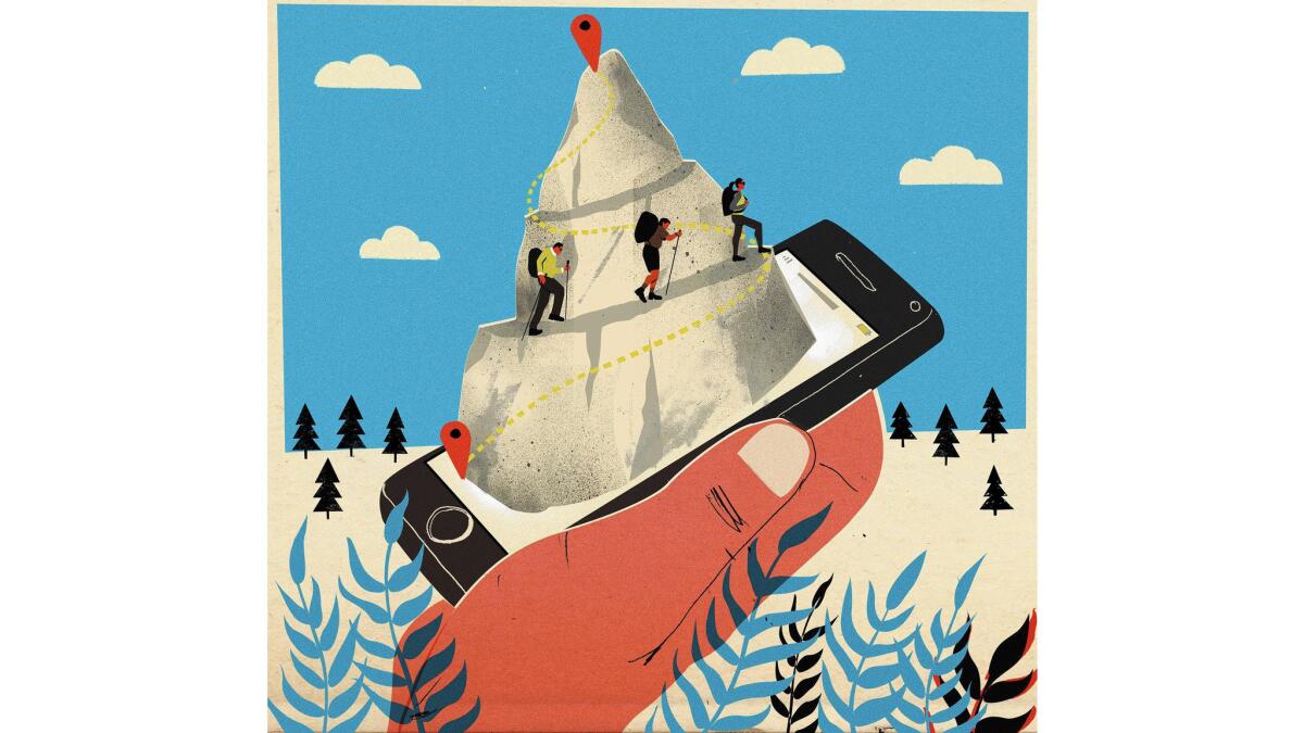
There is a lot to be said for “unplugging” when you venture into nature. But some outdoor adventure apps are so useful — for navigating in backcountry and identifying what you see along the way, among other things — that you may find it hard to leave your mobile phone behind.
One essential element to look for in any app that you plan to use off the beaten track is off-line functionality. (If you have to connect to the Internet to make use of a navigation program, for example, you won’t get far into the wild.) Another key element is a design that makes good use of your mobile device’s built-in capabilities, such as integration with GPS, mapping programs and your phone’s camera. Social networking features also can be a plus, allowing you to share photos and details of your journey afterward, or learn from the experience of others beforehand.
If you plan to take advantage of mobile apps during longer excursions, it’s a good idea to bring a portable solar charger. (Goal Zero makes some reliable solar charging kits, www.goalzero.com.) And if you’re using an app for wilderness navigation, have a paper map and compass as backup, in case the skies are too cloudy to charge your battery or you find that your phone case isn’t waterproof after all.
Here are apps that may just tempt you into carrying your mobile phone along for your next outdoor adventure:
MotionX-GPS (iOS; $.99)
This GPS navigation app allows you to download road, topographical and marine maps to your mobile device, then cache them for later use once you’re out of cellular service range. You can either follow a trail marked on the digital map or you can define your own route by adding customized way points. During your journey, you can keep tabs on your location and ETA, as well as orient yourself with the MotionX-GPS compass. The app’s track recording function records your time, distance and speed so you can monitor or share your progress.
AllTrails (iOS, Android; free)
Searching for a nearby trail? AllTrails is a comprehensive app with a broad database. A search filter allows you to find dog-friendly trails as well as trails conducive to a variety of activities, from camping and canoeing to fishing, skiing and horseback riding. You can save trail info and maps for offline use. For $30 a year, AllTrails Pro gives you access to National Geographic TOPO! Maps, and allows you to print maps from home.
Mountain Project (iOS, Android; free)
If rock climbing is your passion, the Mountain Project app is an invaluable resource with maps of climbing areas, directionsand descriptions of routes. Browse through geographical locations then download areas to your mobile phone for offline access. Arranged like a climbing guidebook, the app features detailed descriptions of each route, including difficulty level, images overlaid with graphic labels and tips from other climbers. Engage with the social media aspect of Mountain Project to connect with a climbing community.
MTB Project (iOS, Android; free)
Produced by Adventure Projects (the same company that produces Mountain Project), MTB Project is the go-to app for mountain bikers. Its user-friendly interface allows you to quickly search for mountain bike trails near you. Once you download an area onto your phone, you have access to maps and photos of bike trails as well as their description, difficulty level and vertical profile. Your location is tracked along the trail so you know where you are and how far you have to go. The social component of MTB Project connects you to a community of mountain bike-minded folks.
Strava (iOs, Android; free)
With motivation and camaraderie as a goal, the idea behind Strava is outdoor social fitness. The app is geared to runners and cyclists, featuring an easy-to-use interface that tracks your route, time, rate and elevation gain. You can analyze your performance and compare your data with that of friends and professional athletes or with your personal best. Strava ranks you against others who’ve completed a particular route segment, awarding the top scorer with the title “King (or Queen) of the Mountain.” You can find the most popular routes in your area, join a race community or partake in a Strava Challenge.
Sky Guide (iOS, $1.99)
Sky Guide is one of the most amazing apps around for enhancing your nighttime nature experience. With beautiful graphics and stellar sound effects (that you can silence), the app automatically aligns the view from your screen with the surrounding sky — all you have to do is point your phone skyward. Touch on a star, planet or constellation and Sky Guide will give you scientific data, historical information and the mythology surrounding the celestial body. A night vision setting allows you to more easily view real stars while you’re looking at the screen, and a time control setting allows you to glimpse skies from the past and future.
The Sibley eGuide to the Birds of North America (iOS, Android; $19.99)
Though the bestselling Sibley bird book is one of the most comprehensive guides around, its 3-pound weight makes it unwieldy to carry on treks. The Sibley Birds app allows you to take this identification guide into the field — with the same gorgeous paintings that made the book so popular, along with more than 2,400 birdsongs that you can play. An easy-to-use interface allows you to find birds based on region and time of year and to compare two species side-by-side. If you want to test before you buy, a version with 30 species is available free.
iNaturalist (iOS, Android; free)
If you see a creature in the wild but you’re unsure of its identity, you can take a picture of it through the iNaturalist app, click on the “Need help identifying” tab and upload it to the site. You’ll get responses from experts around the world — and you’ll be able to add it to your list of natural history observations. You can use iNaturalist as a personal field journal or a place to learn which plant, animal and fungus species other people have found in a particular region. You can also participate in various citizen science projects ranging from roadkill observations to butterfly encounters. All your entries will go into a California Academy of Sciences database that creates a living record of life on Earth.
SAS Survival Guide (iOS, Android; $5.99)
Few people pack a wilderness survival guide when venturing through backcountry, but having survival skills at your fingertips is invaluable if you ever need them. The SAS Survival guide app, based on the bestselling book by British Special Services instructor John “Lofty” Wiseman, is filled with information such as first aid and extreme climate survival. It also features illustrations of common animal tracks and a photo gallery of edible and poisonous plants. The app can even harness your phone’s camera as a Morse code signaling device. A survival kit checklist included in the app helps you pack everything you need to be prepared.
ALSO:
How one man conquered his paralyzing fear of swimming in open water (and how you can too)
Getting Out: A weekly beach run reminds us how great it is to live on the coast
For 50 Cent, exercise, meditation and a little melatonin go a long way
More to Read
Sign up for The Wild
We’ll help you find the best places to hike, bike and run, as well as the perfect silent spots for meditation and yoga.
You may occasionally receive promotional content from the Los Angeles Times.


