Stoney Point Park has a tricky path to rocky views
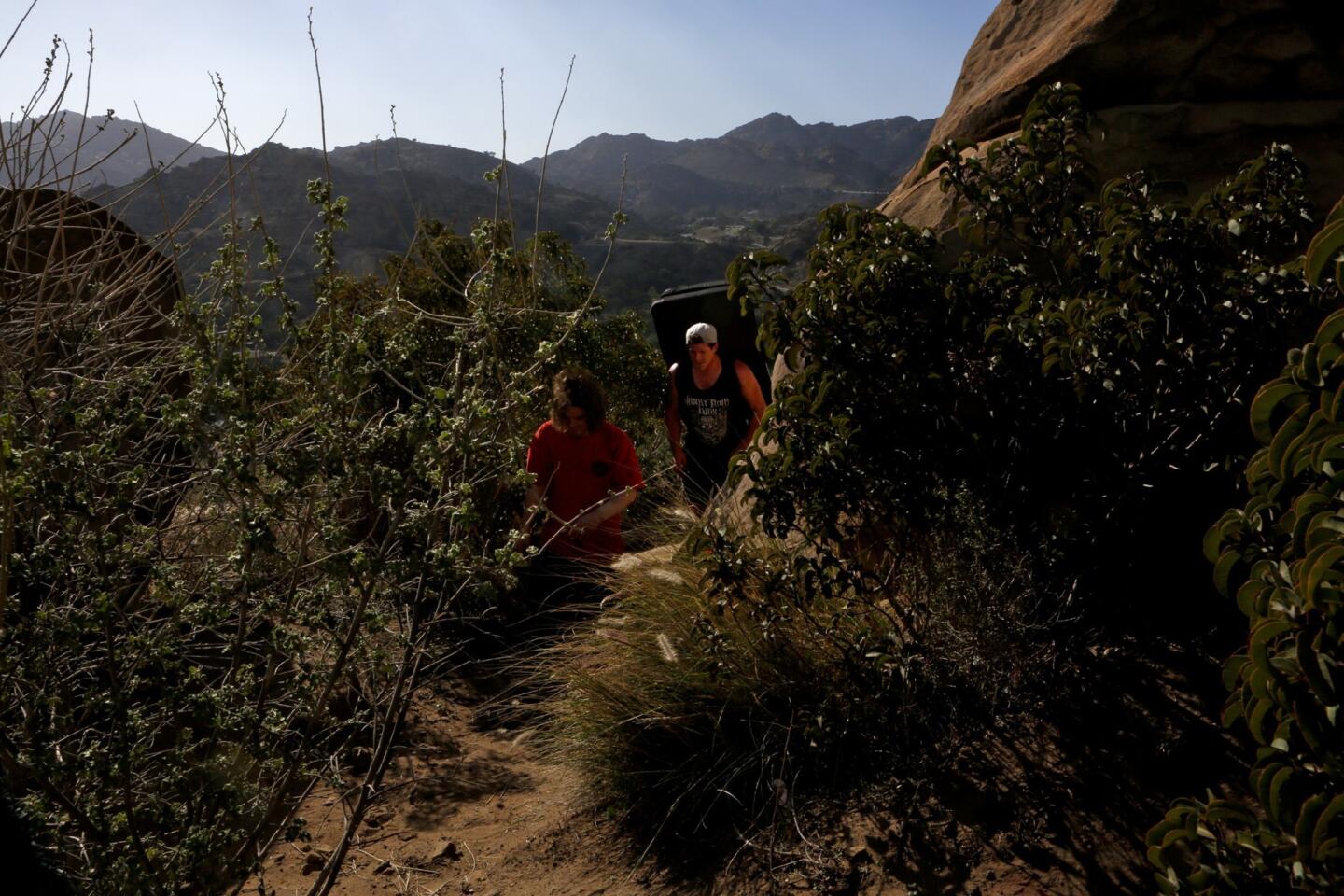
Stoney Point Park in Chatsworth has trails that allow walkers to view rock climbers as they attempt Stoney Point.
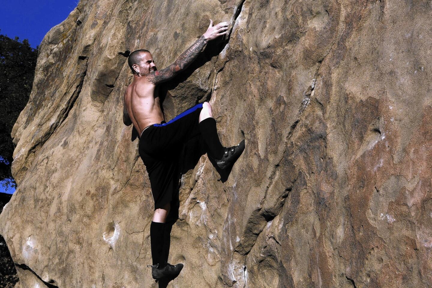
This rocky landmark in Chatsworth is a worldwide draw for climbing enthusiasts. But it's also a great place to take a walk while watching the climbers practice their art on small rocks at the base and sheer cliffs near the peak.
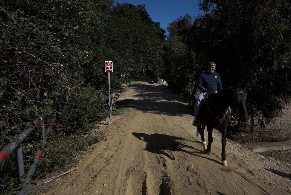
The entrance to the park is off Topanga Canyon Boulevard, starting at this steel gate uphill from horse stables. (Anne Cusack / Los Angeles Times)
Begin a counterclockwise tour of Stoney Point Park by entering the recreation area from Topanga Canyon Boulevard, near the steel gate just uphill from the horse stables. To your immediate left, you'll see climbers and climbing teachers working out on some of the lower-elevation rocks.
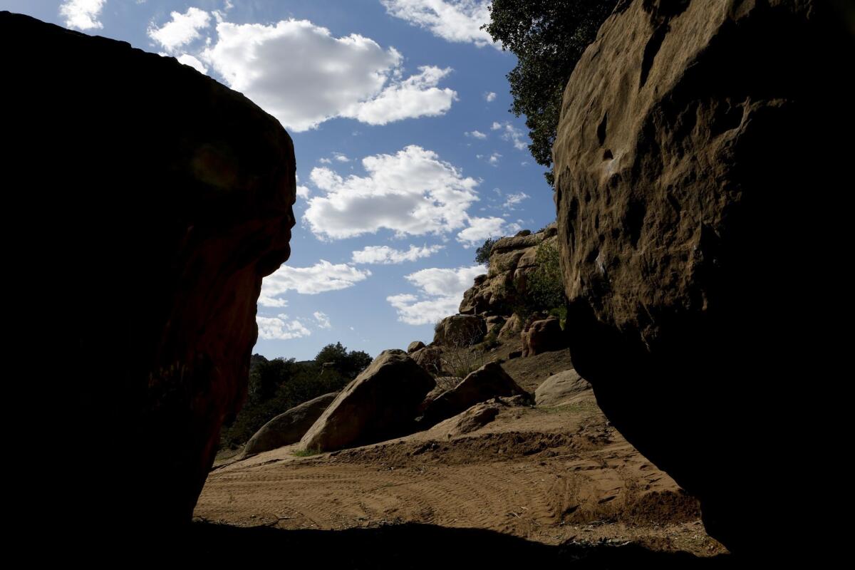
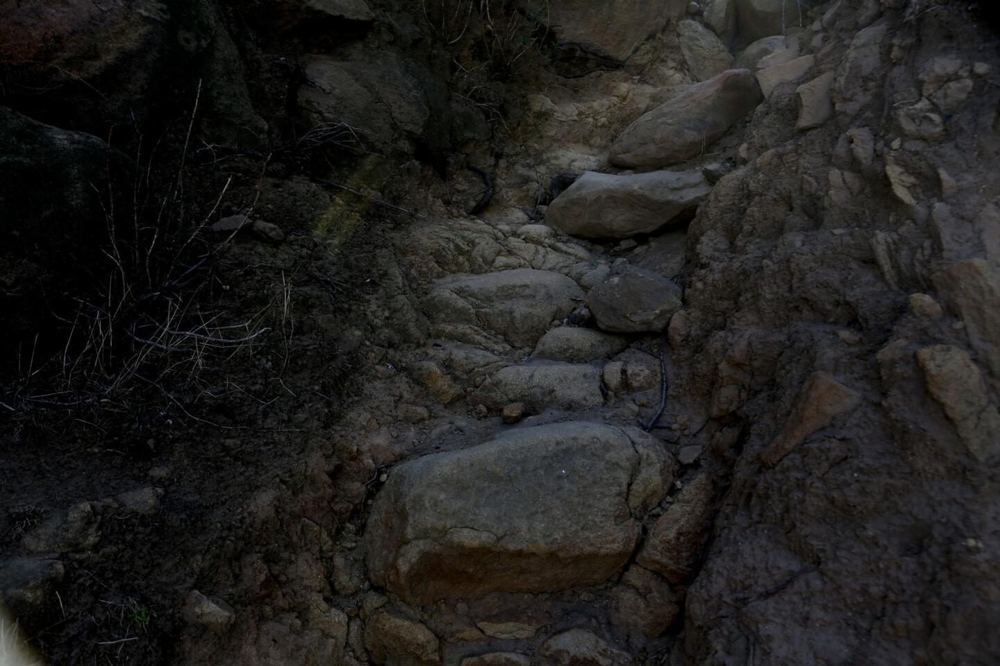
Multiple trails lead to the peak of the mountain and wind in different directions toward the top. (Anne Cusack / Los Angeles Times)
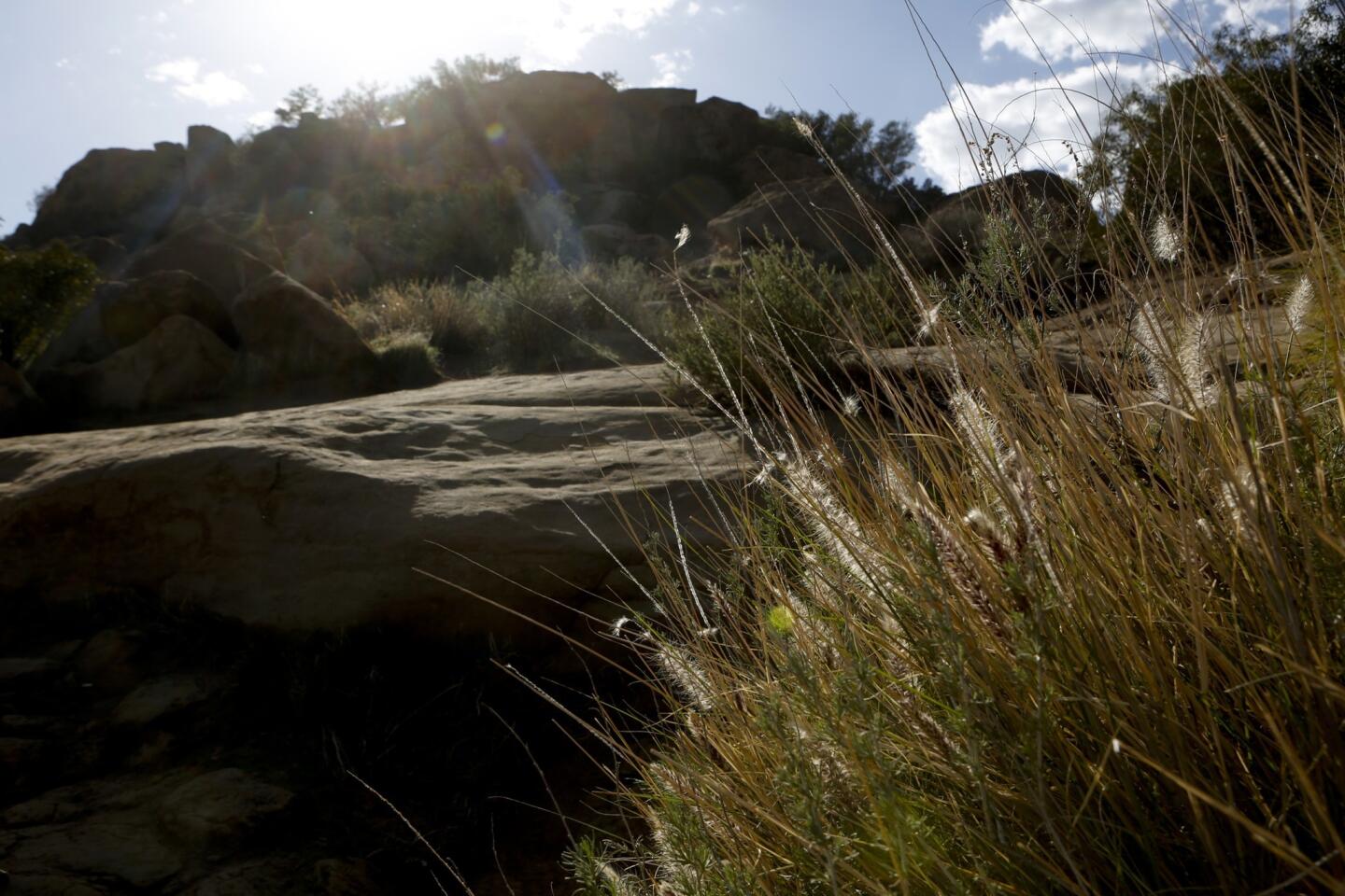
Circling around the back side of the massive rock escarpment, you'll see multiple trails headed toward the peak. Take any one of them, being mindful of the tricky terrain as you climb.
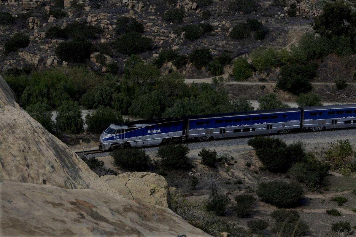
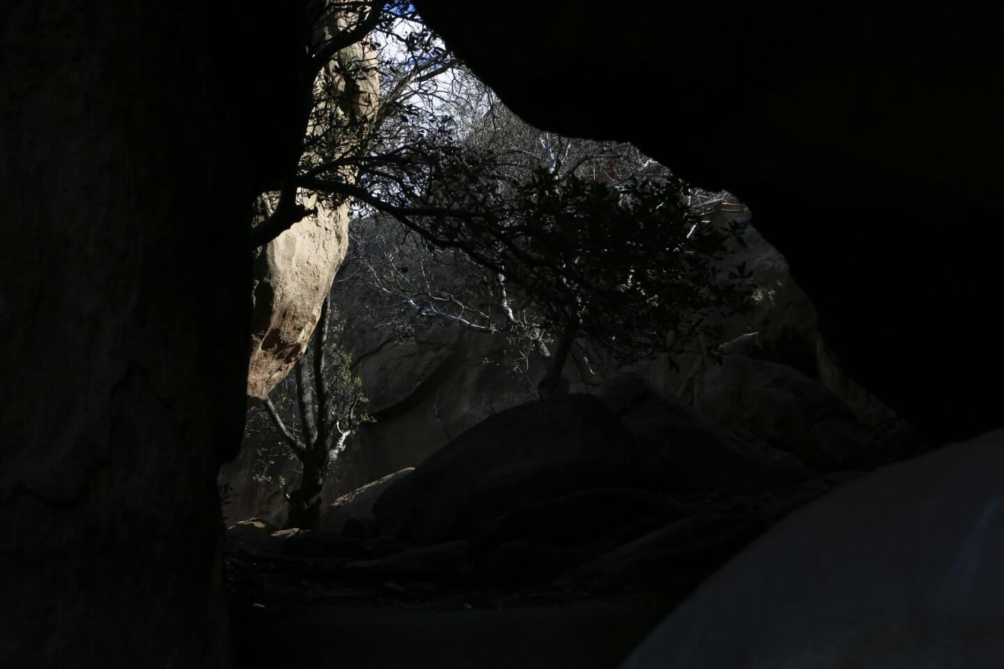
A rail and tunnel for Metrolink and Amtrak is near the trail for Stoney Point, with the Pacific Surfliner passing through periodically. (Anne Cusack / Los Angeles Times)
Near the trail, a rail line leads into a tunnel that carries Metrolink trains and Amtrak's famed Pacific Surfliner through Simi Valley toward Oxnard, Ventura and Santa Barbara.
More from L.A. Walks: Explore Los Angeles by foot
Follow the contour of the mountain as the trail climbs toward Topanga Canyon Boulevard.
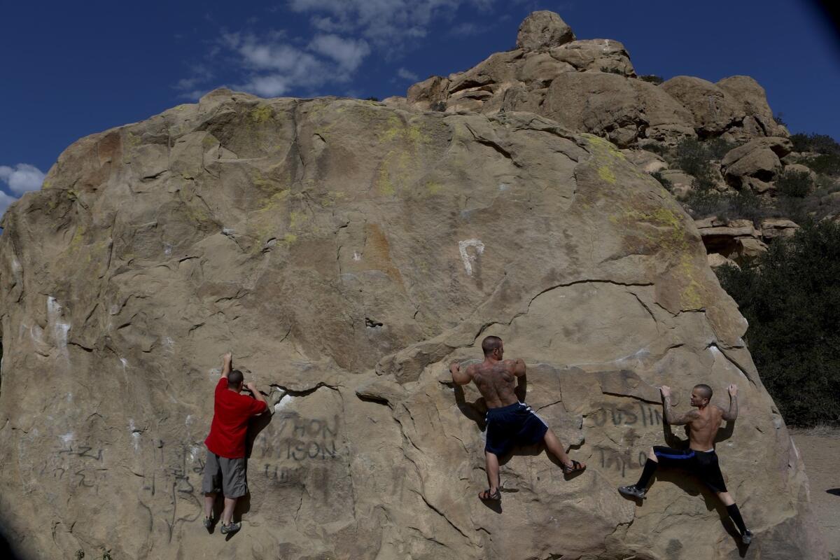
Near the start of the walk, you'll often see climbers on the lower-elevation rocks. Matt Batdorf, left, Danny Varola and Brett Batdorf attempt to scale a rock face. (Anne Cusack / Los Angeles Times)
Walk downhill toward the starting point, stopping along here to watch the most adventurous of the climbers attempt the sheer face of Stoney Point.
Fleming is the author of "Secret Stairs: A Walking Guide to the Historic Staircases of Los Angeles" and "Secret Stairs East Bay: A Walking Guide to the Historic Staircases of Berkeley and Oakland."
The stats
Distance: 1 mile
Duration: 40 minutes
Difficulty: 2 on a scale of 1 to 5
Details: Ample street parking. Dogs on a leash are OK.
View larger map on latimes.com


