Explore the new historic park outside DTLA
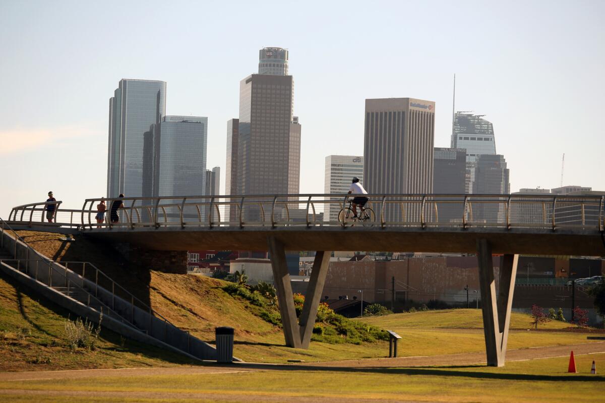
Various government agencies have spent the last decade deciding how to turn the Southern Pacific’s long-abandoned “Cornfield” rail yard into a public space. Now, at last, Los Angeles State Historic Park is open for all to enjoy.
Chinatown-adjacent — a few blocks from Philippe, the “original” French dip sandwich shop — and only steps away from a MetroGold Line station, this walk circumnavigates the 32-acre site outside downtown Los Angeles, and makes for a history-laden leg stretch.
Find more great L.A. Walks — maps included >>>
1. Start this walk from the public parking lot near the main administration building on North Spring Street, near the intersection with Sotello Street. Keeping the administration building on your right, walk left along a wide stone path, past some benches, leading toward a grove of citrus trees in bright steel barrels.
2. Past a second park building, which also houses restrooms, turn right as you near the end of the park and walk across a wooden bridge over a dry arroyo. On the right, notice some old cobblestone paving, reminiscent of early Los Angeles.
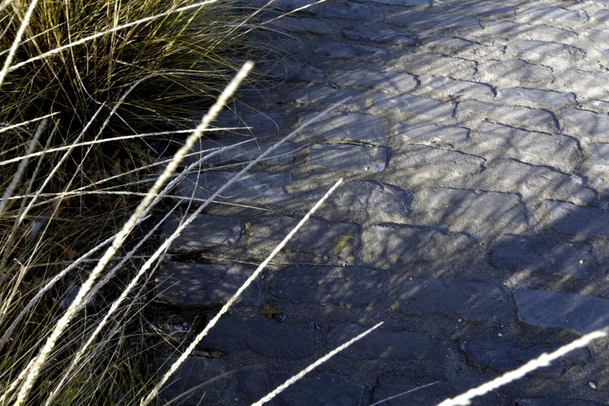
Cobblestone paving in the park harks back to Los Angeles’ early days.
3. Walk straight ahead, keeping a slight hill on your right, aiming toward the Gold Line light-rail tracks at the western edge of the park. Around the hill, take the first turning to the right (past a drinking fountain). Then turn left and walk toward the pedestrian bridge ahead. On your left, you can see a section of the Zanja Madre, the ancient brick pipeline that brought fresh water from the Los Angeles River into downtown.
4. Cross the bridge — noting the concrete circle below, which marks the site of an old railroad roundabout — and descend the stairs on the opposite side. Take a right at the bottom of the stairs, and then the first left, heading again toward the Gold Line tracks.
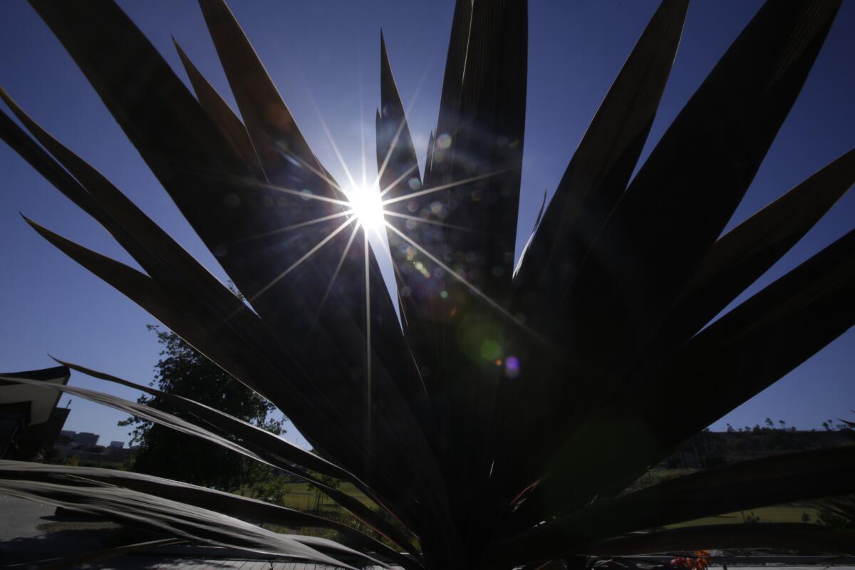
The park is landscaped with native flora.
5. Bear right and follow the circumference of the park. Note the native flora here — oak trees, cactus, California poppies — as the walkway goes north and begins to swing east.
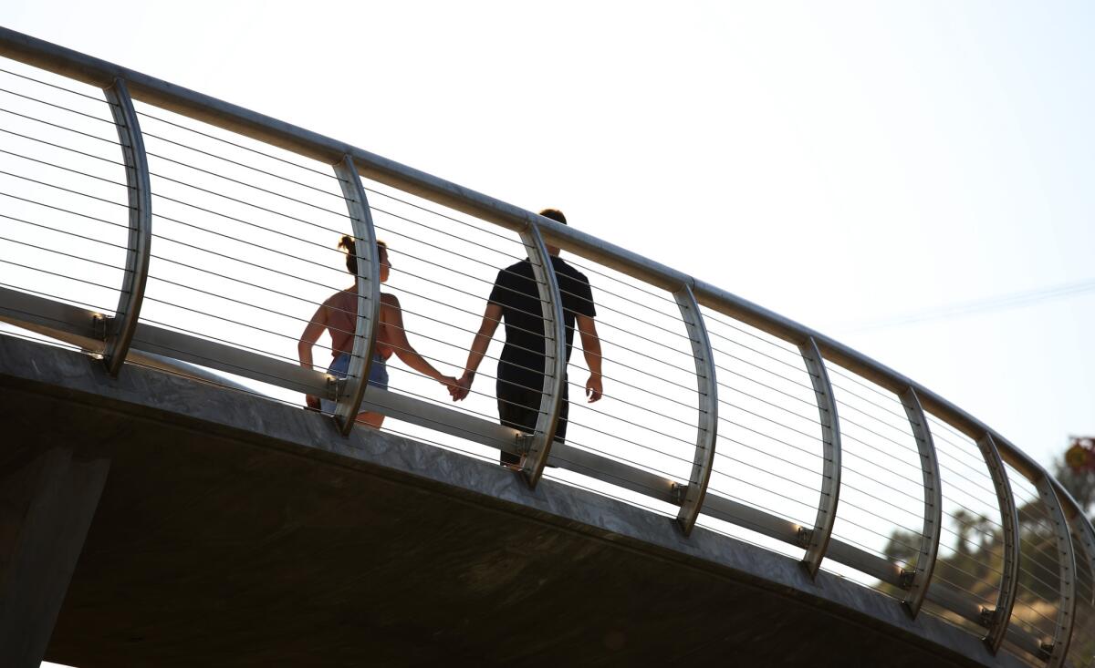
A couple cross a pedestrian bridge in the park, which once was a rail yard.
6. At the far end of the park, walk to the last turning to the right and head south again. High up to the right, you can see the communications towers atop Radio Hill, and the edge of the parking lot for Dodger Stadium. Dead ahead are the skyscrapers of downtown Los Angeles.
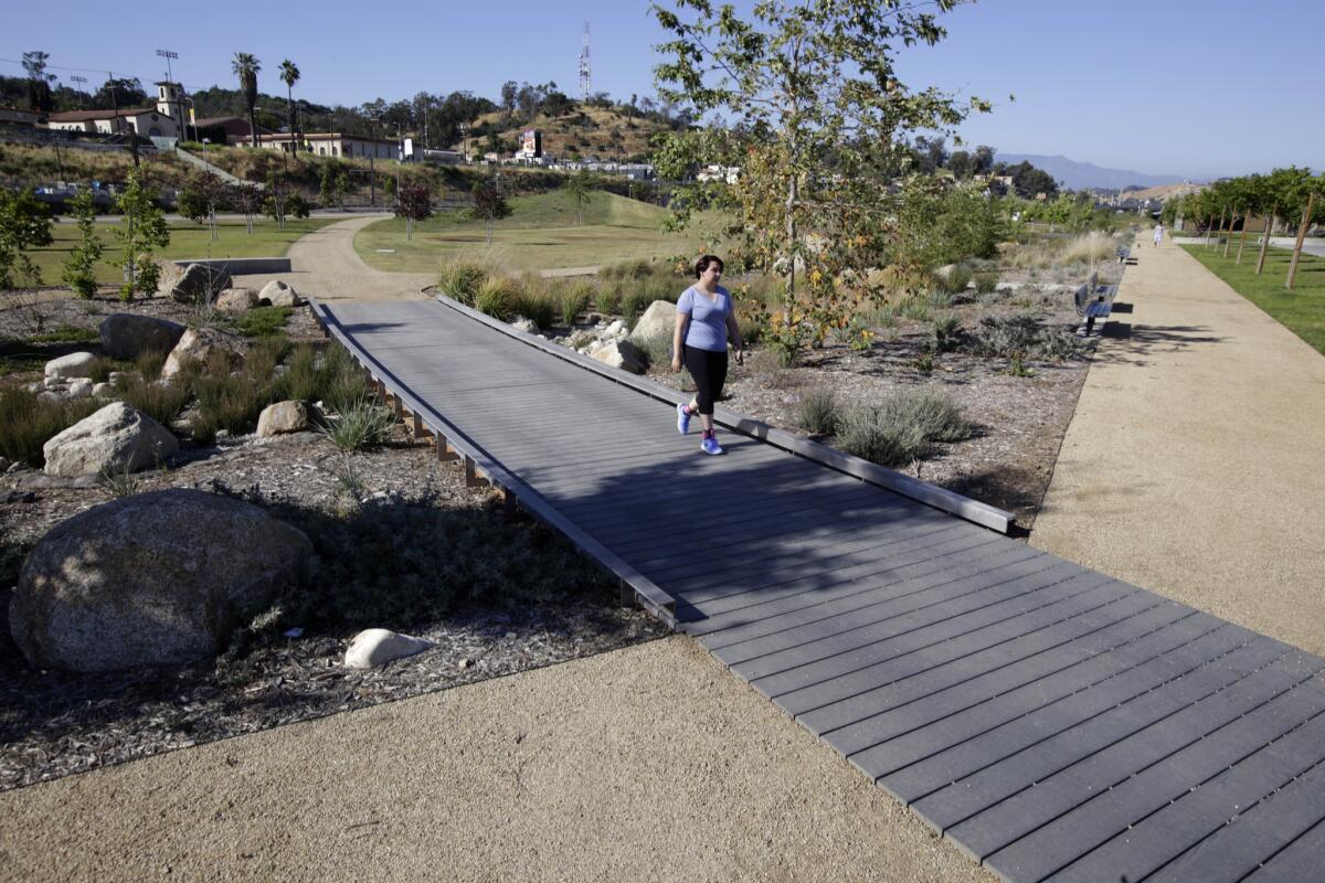
A wooden bridge over an arroyo at Los Angeles State Historic Park.
7. As you approach the administration building where you began, consider crossing another small wooden bridge and exploring the rest of the park. Or check out the Cargo Snack Shack, said to be coming soon, near the southern end of the park.
The stats
Distance: 1 ¼ miles
Difficulty: 1 on a scale of 1 to 5
Duration: 45 minutes to 1 hour
Details: Ample free street parking. Bicycles, skateboards and dogs on a leash are all OK.
Hours: Daily, 8 a.m. to sunset
Fleming is the author of “Secret Stairs: A Walking Guide to the Historic Staircases of Los Angeles” and “Secret Walks: A Walking Guide to the Hidden Trails of Los Angeles.” Each month, he leads a free walk at one of his favorite spots in Southern California. Find out more at his Facebook page, Secret Stairs.
Twitter: @misterfleming
MORE L.A. WALKS
This short, steep hike takes you high above Burbank
Strolling around the lakes in El Dorado Park in Long Beach
This hike takes you to an (allegedly) haunted mansion: The Cobb Estate in Altadena
More to Read
Sign up for The Wild
We’ll help you find the best places to hike, bike and run, as well as the perfect silent spots for meditation and yoga.
You may occasionally receive promotional content from the Los Angeles Times.


