A few weeks ago, the Australian Bureau of Meteorology declared that the Pacific Ocean is no longer in an El Niño state and has returned to “neutral.” American scientists at the National Oceanic and Atmospheric Administration have been more hesitant, but they estimate that there is an 85% chance that the Pacific will enter a neutral state in the next two months and a 60% chance that a La Niña event will begin by August.
After an El Niño that was one of the three strongest in the last 40 years and that brought a wet winter to the U.S. — and California, in particular — this transition could mean a dramatic shift in weather as we enter the summer.
The progression from El Niño to La Niña, which is part of a broad system called the “El Niño Southern Oscillation,” or ENSO, is the result of conditions in the tropical Pacific. During the neutral phase, which is or soon will be in effect, the so-called trade winds rush from east to west along the equator. These winds push warm surface water with them, bathing Indonesia and New Guinea in the balmy waters of the “Pacific Warm Pool” and forcing cold water to rise from the deep ocean along the coast of South America.
Aggressive and impactful reporting on climate change, the environment, health and science.
As an El Niño phase begins, these winds weaken, so that warm sea surface temperatures move east toward South America. This can cause climatic shifts across the globe: landslides in Peru, drought in Australia, fish die-offs in the eastern Pacific and more frequent atmospheric rivers in Southern California. These changing weather patterns also weaken the trade winds further, leading to more warm water off the coast of South America, which in turn weakens the winds, and so on.
So what prevents El Niño events from continuing to strengthen forever?
Well, it turns out you can think of the Pacific Ocean sort of like one enormous bathtub, and El Niño like a wave of warm water sloshing from one end of the bathtub to another. When that wave reaches the Ecuadorean coast, it bounces back, carrying the warm water back toward Asia and Oceania, which strengthens the trade winds, which push the warm water faster, until the wave reaches the other end of the “bathtub” — this is a La Niña phase, when the west Pacific is especially warm and the east Pacific especially cold — at which point the process repeats. This is the “oscillation” that gives ENSO its name, and it is why a strong La Niña event often follows a strong El Niño.
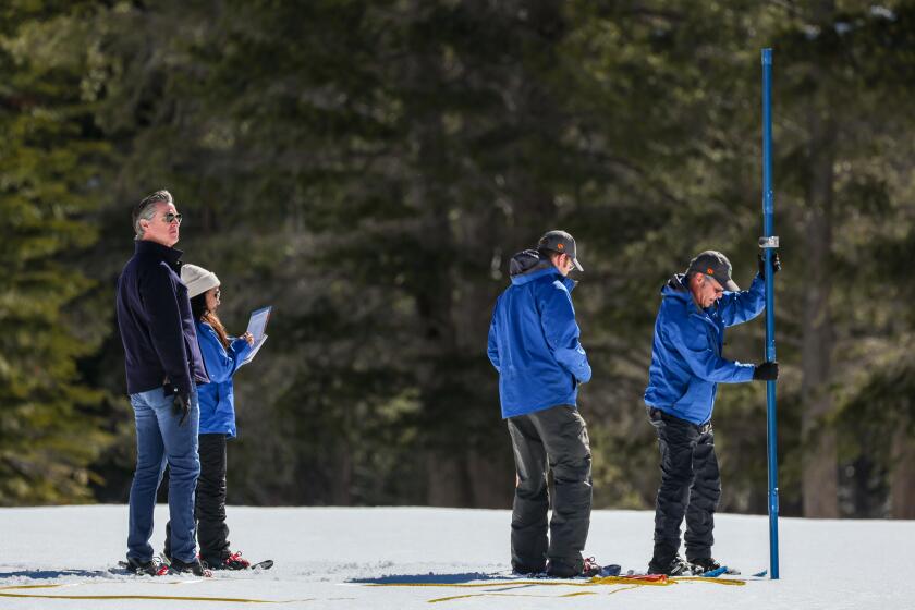
The relationship between snowfall and climate change is not as simple as it might first appear.
This winter’s El Niño event had sea surface temperature anomalies of 3.6 degrees (2 degrees Celsius), which qualifies it for the unofficial status of “very strong El Niño.” As is typical, the warm waters of El Niño led to high global temperatures, but because of the unprecedented effects of climate change, these temperatures were anything but typical. In December, when El Niño was at its peak, global surface temperatures were 0.45 degrees (0.25 degrees Celsius) above the next hottest December on record.
This increase may not seem so unusual given the current era of ever-climbing temperatures, but when you consider that the difference between the coldest December on record (back in 1916) and the second-hottest (in 2016) is less than 3.6 degrees, it is far more shocking — so surprising that prominent climate scientists have begun to publicly wonder whether there are elements missing from our understanding of climate change.
Fortunately, the onset of neutral ENSO conditions, followed by the likely La Niña, should begin to bring global temperatures down, at least temporarily. This will be little consolation for the U.S., as the National Weather Service predicts above-average summer temperatures for virtually the entire country. Moreover, La Niña events are associated with drier conditions across the southwestern U.S. that could persist into next winter. While this year’s generous Sierra snowpack should insulate California from the effects of a scorching summer, the state is never more than one below-average winter from a drought.
With an average surface temperature of 59.05 degrees, the month was about 0.25 of a degree warmer than the previous hottest April, in 2016.
There are also potential implications for the rest of the country — La Niña has been linked to higher hail and tornado activity in the Southeast and an increase in hurricanes in the Atlantic and Gulf of Mexico. In fact, many experts are predicting a “hyperactive” hurricane season in the tropical Atlantic, with one forecast going as high as an unprecedented 33 named storms. On the flip side, however, there will probably be a slow hurricane season in the east Pacific, with little chance of a reprise of Hurricane Hilary’s passage over Southern California last August.
Of course, all of these forecasts — that La Niña tends to cause dry conditions in Southern California, that this location will get more hurricanes while that region gets more hail, and even how strong an El Niño or La Niña event can become — are based on correlations and theories that researchers have rigorously developed using data from the last half century.
But given the recent rapidity of climate change, there are no guarantees that the trends of the past will continue to hold in the future. In situations such as these, climate scientists generally look to computer models to understand how phenomena such as ENSO might shift over time.
Unfortunately, many climate models have not yet developed the ability to predict ENSO accurately — its complexity and the fact that it requires the ocean and atmosphere to shift in tandem make it particularly challenging to represent. This means that as we move into a new era of accelerating climate change, the future of ENSO remains uncertain.
Ned Kleiner is a scientist and catastrophe modeler at Verisk. He has a doctorate in atmospheric science from Harvard.

