OILDALE, Calif. — Preparing for the threat of massive flooding during California’s “Big Melt,” federal engineers have been releasing more Kern River water from Lake Isabella than is flowing into the reservoir from the snowbound peaks of the southern Sierra Nevada.
The action is needed, officials say, to prevent water from spilling over the reservoir dam and sending floodwaters rolling into low-lying areas that include the city of Bakersfield, farm towns, Highway 99, and portions of Kern County’s famed oil patch — an intrusion that would risk significant ecological harm.
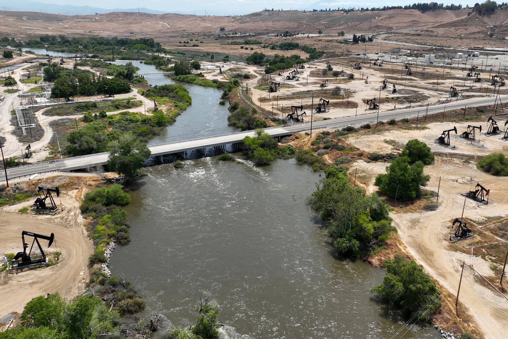
Now, with temperatures rising and river flows approaching an all-time record of 7,000 cubic feet per second, Chevron Corporation is taking steps to avoid an oil spill at its Kern River Oil Field in the event of catastrophic flooding.
In areas where pumpjacks bob along the shoulders of the Kern River, Chevron has been shutting down wells, draining pipelines, turning off electrical power, erecting dikes and bolstering river banks with riprap. Crews on the ground and in spotter planes are fanning out each day to search for emerging hazards along the river’s edge.
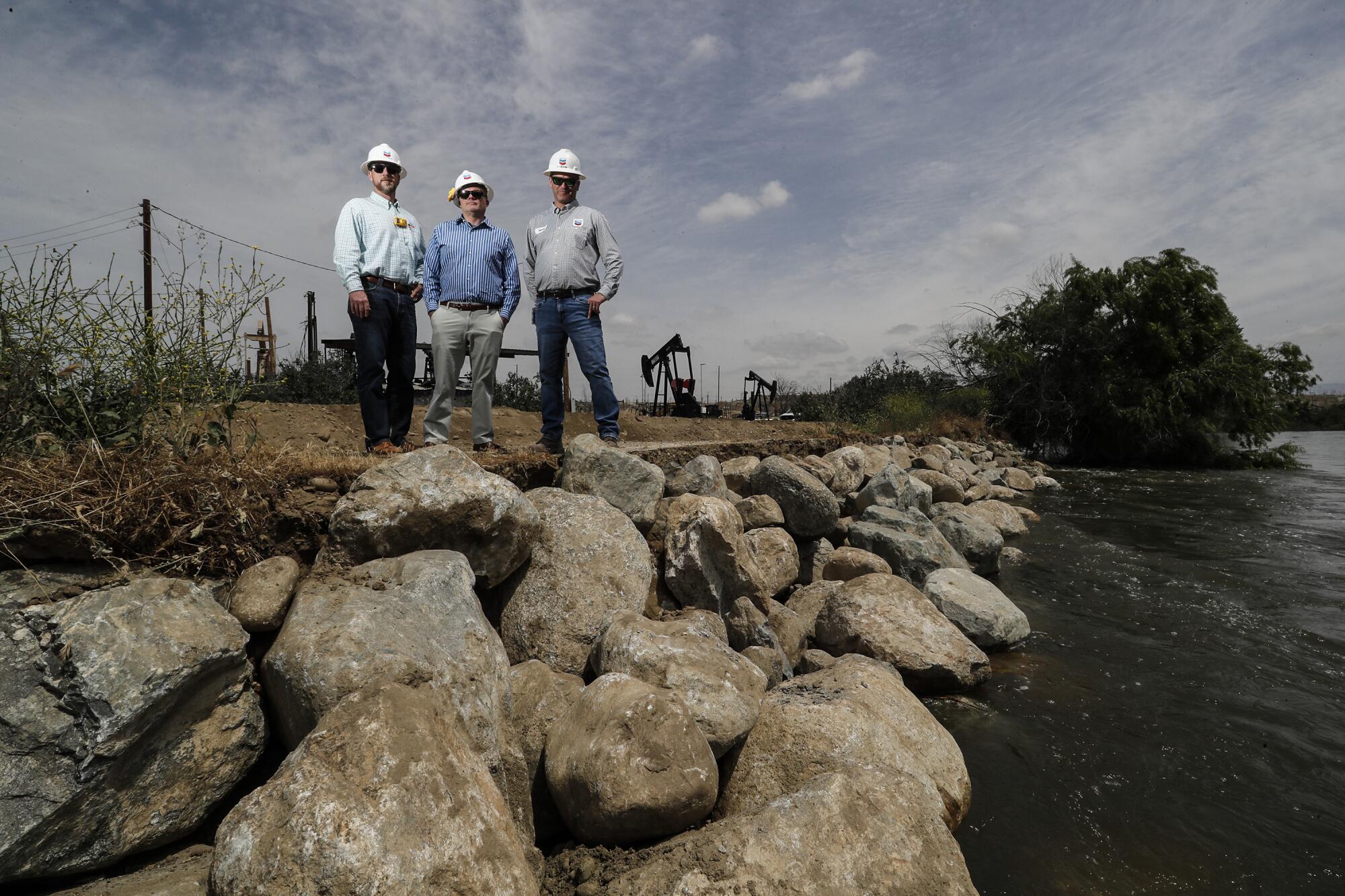
The measures are just one more consequence of California’s epic winter. With record accumulations in the southern Sierra Nevada, snowpack in the Kern River watershed now contains roughly three times more water than Lake Isabella can hold, officials say.
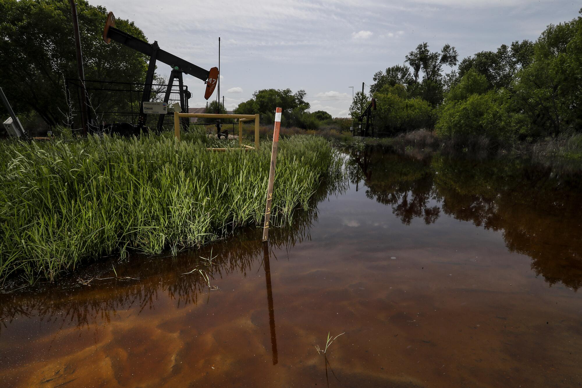
Bringing his SUV to an abrupt halt on a narrow dirt road, Brad Vieselmeyer, Chevron’s general manager of operations and maintenance, trudged toward a pumpjack that has sat forlornly idle since it was encroached by several inches of water.
“The worst-case scenario here would be a crash on a levee,” he said. “So, making sure that our troubled wells can be quickly turned off in a responsible manner is good for business, the environment and the community.”
The U.S. Army Corps of Engineers told Chevron that it will provide advance warning of six to 10 hours if it determines that emergency releases of water large enough to flood portions of its oil field are necessary to prevent the reservoir from being overwhelmed by snowmelt.
“It would take us 1½ hours to shut down all the equipment,” said Sean Comey, a spokesman for Chevron. “But the entire section of our oil field that federal authorities say is within the flood zone represents a small part of our Kern River oil field operations.”
Overall, the 10,750-acre oil field produces less than 3% of the crude oil consumed each year in California, officials said, with much of the rest imported from other countries.
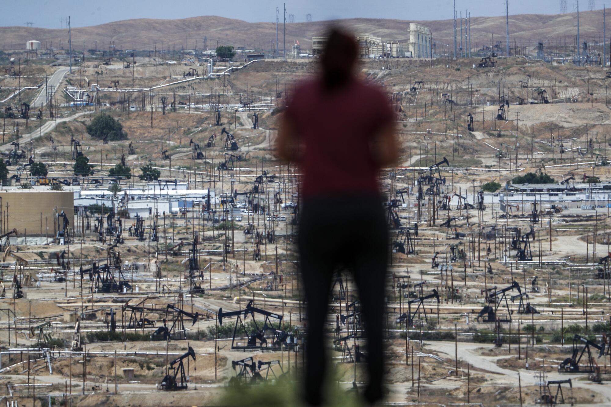
Already, rising saturation levels in soils along the river have triggered emergency response plans that have included shutting down at least a dozen pumpjacks before they were actually flooded, officials said.
Shutting down a pumpjack is an economically risky proposition: Once idled, the company may not be able to turn the pump back on again. That’s because Kern River tract oil is so heavy and thick that tubing gets stuck and casings fail at room temperature.
Kern County’s easy oil was brought up long ago. What remains now is the syrupy, low-value crude that must be heated with massive injections of 450-degree Fahrenheit steam before it can be recovered.
The impacts of taking wells out of circulation are also felt by a variety of businesses that sell a broad range of well-head services and supplies: seismic analysts, well drillers, refinery operators and manufacturers of metal tubing, mud and cement.
For Chevron, the idled wells would represent a slight reduction in the overall number of barrels per day it sends to refineries in El Segundo and Northern California, where crude oil is converted into diesel and jet fuel, and gasoline for the cars of Southern California.
“I would not expect well operations deactivated in the flood zone to have much of an impact on the amount of crude we send to refineries,” said Wade Nicholson, field operations superintendent of Chevron’s San Joaquin Valley business unit, “or the price of gasoline at the pumps.”
With forecasters predicting a weeklong heat wave, work crews are scrambling to shore up flood defense along the Los Angeles Aqueduct.
In the meantime, the unnerving sight of normally placid stretches of the Kern River transformed into frothing rapids is generating rumors and tension up and down the Kern River.
“There’s a lot of fear going around because people aren’t used to seeing so much water in the river,” said Kern River Watermaster Mark Mulkay. “My response is this: Stay calm. We believe that the snowmelt is under control and manageable.”
“The levees through Bakersfield are in good shape,” he added, “although some recreation areas and bike paths may get a little bit wet.”
Joe Conroy, a spokesman for Bakersfield, agrees, up to a point.
“We have people checking our berms and levees 24 hours a day,” he said. “As far as I know, we’re not expecting any flooding or breaches — but not everything along the river is within our purview.”
Although many see fear in the Kern’s violent torrents, some see opportunity.
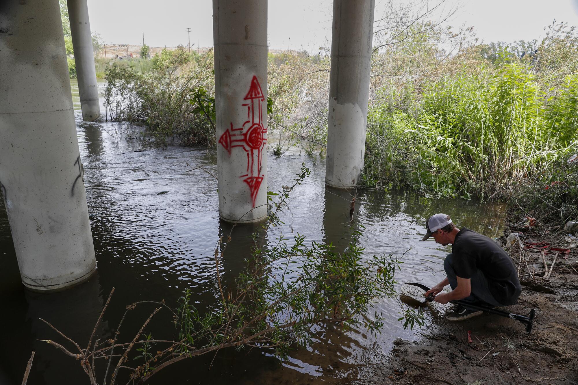
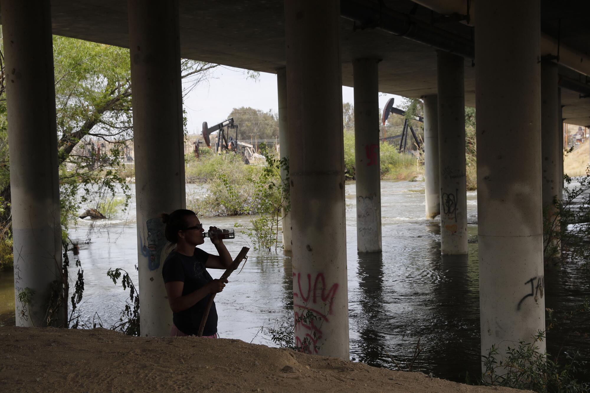
Ryan Harding, 32, squatted beneath a bridge near the Chevron oil fields recently and sifted for treasure in fresh layers of muck. The way Harding saw it, epic river flows were bound to stir up fragments of gold.
As oil rigs pumped furiously on the far side of the river, Harding parted willow branches, peered into sand boils and scooped up shovelfuls of mud that he routinely said looked “promising — but maybe not.”
“What really matters today is the river,” he said. “We’re in the middle of more raging nature than most people see in a lifetime — and it’s amazing as hell.”
