‘There’s still a lot of rain to come’: Storm-battered SoCal faces two more days of pain
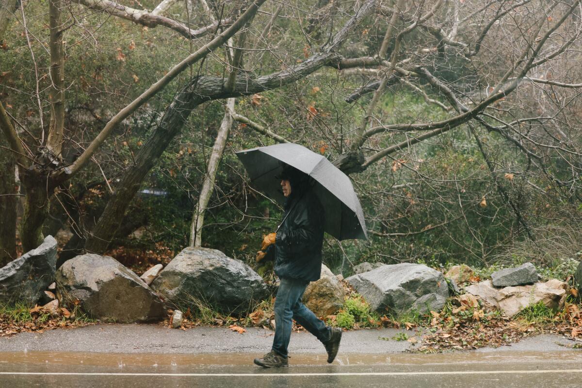
After being battered by record rainfall Sunday, Southern California is far from out of the woods with this major storm.
Officials say rain will continue through Monday and into Tuesday, with some showers possible on Wednesday. The saturation will likely cause more mudslides, flooding and inundated roads.
Outlook
“There’s still a lot of rain to come,” Ryan Kittell, a meteorologist with the National Weather Service in Oxnard, said Monday morning. “There’s a lot of rain left.”
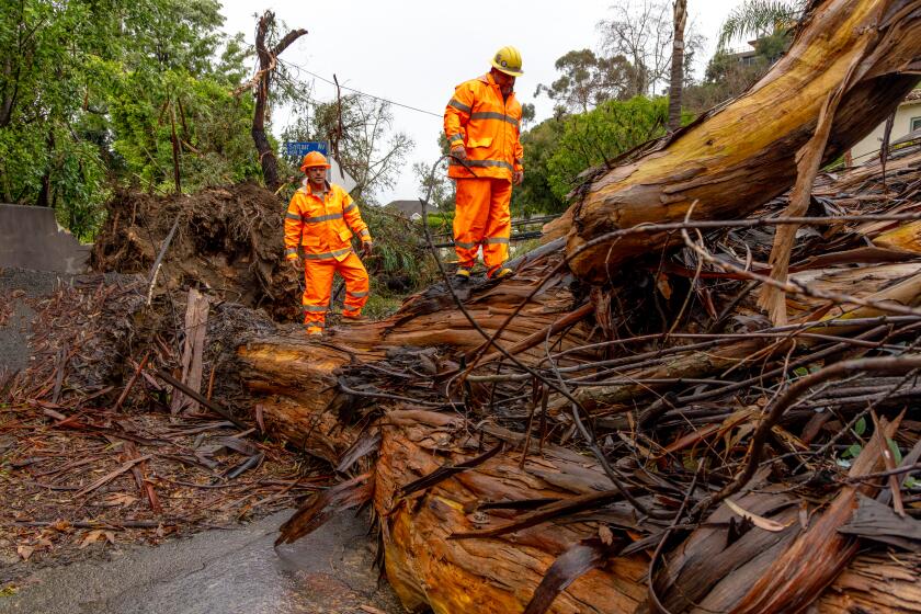
The storm has hit Los Angeles County particularly hard, especially in hillside communities including Laurel Canyon, Studio City and Tarzana, which all reported mud flows.
“The main plume of moisture and organized rain has stalled over Los Angeles and Orange counties, going into Riverside County,” Kittell said. “All of our projections are showing it being there for the better part of the day, and maybe even spreading to the north — to Ventura and Santa Barbara counties — by the afternoon.”
The greater metropolitan area is expected to see more rain through Monday night, followed by on-and-off rain Tuesday, and possibly even some showers Wednesday, Kittell said.
Rain totals
Rainfall totals from the storm were still piling up Monday morning, Kittell said. That includes 10.28 inches in the Topanga area, 9.84 inches around Bel-Air and 5.3 inches in downtown L.A. — with more on the way.
“It’s just a tremendous amount of rain in the last 24 hours,” Kittell said.
On Sunday alone, downtown had seen 4.1 inches of rain, which broke the record for the calendar day set on Feb. 4, 1927, when 2.55 inches of rain was recorded. Sunday was the third wettest February day on record and tied for the 10th wettest day for any time of year since record-keeping began in 1877, the National Weather Service said. (The wettest day ever was March 2, 1938, which brought 5.88 inches of rain.)
Atmospheric rivers are descending on Southern California. Here’s how to prepare and stay safe before and during the storms, heavy rain and potential flooding.
The rainfall totals have so far been smaller in Orange County, mostly in the 1- to 2-inch range. Inland Empire communities have seen a bit less, but some mountain peaks and hillsides have gotten more.
Looking ahead
A wide-ranging flood watch was in effect throughout Southern California until 4 p.m. Tuesday amid a forecast of rain, rain and more rain: 4 to 8 inches generally, and 8 to 14 inches in the foothills and mountains, according to the National Weather Service. Peak rates will reach an inch an hour and 3 inches in three hours, exacerbating the risk of localized flooding.
On Sunday, snow levels dropped to 6,500 feet. They will fall even lower as the week progresses — to 5,000 feet on Tuesday. From 5,000 to 6,000 feet in elevation, about 4 to 8 inches of snow will fall; from 6,000 to 7,000 feet the accumulation will be 10 to 20 inches. Above 7,000 feet 2 to 5 feet of snow will fall.
Officials are expecting life-threatening damage and issuing evacuation orders or warnings in parts of Los Angeles, Ventura and Santa Barbara counties.
More to Read
Sign up for Essential California
The most important California stories and recommendations in your inbox every morning.
You may occasionally receive promotional content from the Los Angeles Times.
