Historic, ‘genuinely extraordinary’ rainfall in Ventura County stuns experts, causes flooding

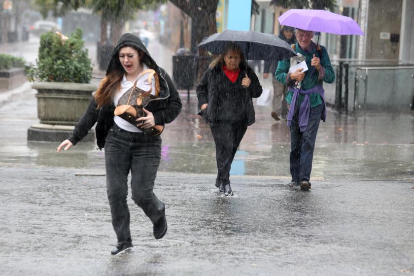
Ventura County was inundated Thursday with what forecasters described as a once-in-a-millennium rainfall that stunned experts and brought flooding to roadways and homes in several communities.
Preliminary data suggest that Oxnard experienced one of the heaviest downpours ever seen in the area, with rainfall rates of 3 inches an hour sustained for over an hour.
That amounts to a month’s worth of rain in less than an hour, officials said.
“The frequency of this kind of event is on the order of once in every thousand years,” meteorologist Mike Wofford with the National Weather Service in Oxnard said of the storm. In addition to the deluge in Oxnard, more than 1.54 inches of rain fell on the Ventura Auto Center in 15 minutes.
Other experts agreed the downpour was one for the record books.
“This is likely the heaviest rainfall that has been observed in this area in recorded history and is likely a multi-centennial kind of event,” Daniel Swain, a climate scientist with UCLA, said during a briefing Thursday. “These are genuinely extraordinary torrential downpours and importantly, they’re continuing. This is not over yet.”
Fire officials in Ventura County reported that 911 dispatchers received more than 275 calls for help over a five-hour period as floodwaters rose in the coastal communities of Port Hueneme and Oxnard.
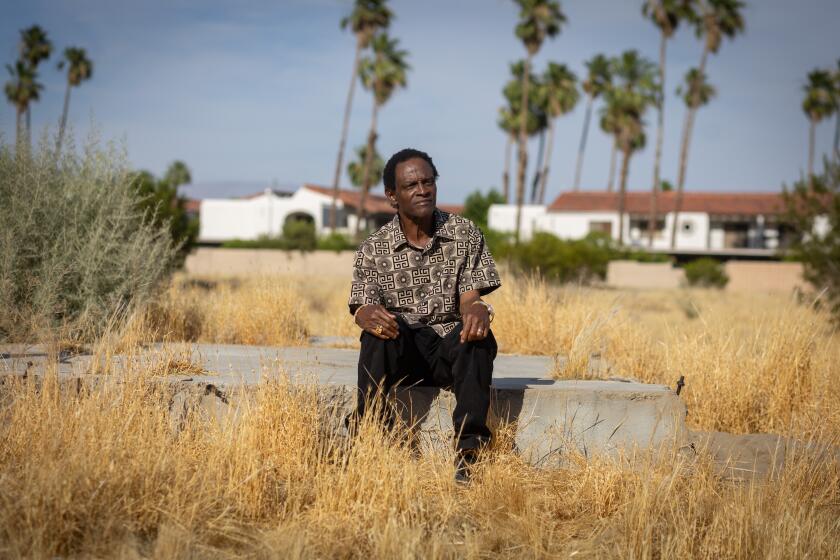
Bob Myers woke up around 1:45 a.m. to the sound of rushing water outside his home in the Hueneme Bay senior community.
“I thought some pipes had blown up or something,” he said. He checked his restroom but didn’t see anything. Then he looked out his back door and found water rushing into his home “like someone was standing there with a fire hose,” Myers said. When he looked out his window, he saw a lake of water.
Eventually, firefighters arrived to help Myers and his neighbors get out of their homes as the water began to recede.
“There is nothing livable left in my home,” Myers said Thursday as he sat in a Red Cross emergency shelter at Oxnard College. Between 3 and 4 feet of water had entered the home, pushing appliances and furniture around soaked walls.
Myers was at a loss about what his next steps will be.
“I am an unfortunate one. I have no family in this state. I have no family closer than the East Coast,” he said. “I don’t know what I’m gonna do.”
Before he retired, he said, he worked for a utilities company. His job was to respond to natural disasters and to help cut off the flow of gas.
He used to be on the other side of the equation, but now he’s one of the survivors of a natural disaster.
“But you don’t realize the full impact of what does it mean to lose your house, the bedroom your children grew up in, your documents, your pictures of your parents from 50, 60, 70 years ago that cannot be replaced because you didn’t experience it,” he said.
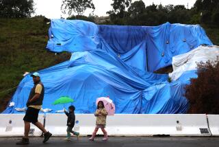
Mud and debris tumbled into roadways in Santa Barbara, closing at least one offramp on the 101 Freeway. Elsewhere, cars were surrounded by rushing water that appeared to be several feet deep.
The amount of rain is akin to that which preceded devastating debris flows in Montecito in 2018, experts said, though that incident was also exacerbated by recent wildfires in the area.
Indeed, radar imagery shows powerful convective cells hovering over Santa Barbara, Ventura, Oxnard and Thousand Oaks that indicate torrential downpours with some lightning could persist for several more hours.
By midday, the storms were also beginning to develop a bit farther south, including portions of Los Angeles County, and were expected to crawl toward downtown L.A., the San Fernando Valley and coastal Orange County through the day.
Swain, the UCLA climate scientist, said the storm is a classic example of the kinds of extreme precipitation events that can be expected in a warming climate. The system arrived as federal officials confirmed that November was Earth’s hottest on record, and that 2023 is virtually certain to be the planet’s hottest year on record, due largely to El Niño and human-caused climate change.
“As the climate warms, we’re going to see heavier and heavier downpours, both in California and everywhere else,” Swain said, noting that the atmosphere’s capacity to hold water vapor increases exponentially with warming. “These are the kinds of rainfall rates that we can see these days.”
Residents can expect heavy rain, flooding on roads and in creeks, and thunderstorms as a slow-moving winter storm lingers through Friday.
A flood watch is in effect across most of the region through late Thursday night, according to the National Weather Service.
Widespread flooding in the area is possible, and residents are advised to clear debris from rain gutters and waterways, use extra caution on roads and be prepared for possible power outages and downed trees, the NWS said.
The agency briefly issued tornado warnings for the Port Hueneme, Oxnard, El Rio, Saticoy and San Buenaventura areas just before 1:30 a.m. and again at 2:30 a.m., but there was no evidence a tornado had touched down, Wofford said. The agency issued multiple flash flood warnings just before 4 a.m. farther inland and special warnings for possible waterspouts and high winds near Point Mugu.
The tornado warnings were issued because meteorologists saw rotational winds on radar readings, Wofford said, and because it would be difficult to confirm what was developing in the sky that late at night.
Unlike other winter storms, the low-pressure system ambling its way along the coast is cut off from the Pacific jet stream and dropping torrential rains as it lingers in place.
“It’s not moving much, and it continues to send bands of rain into the area,” Wofford said. The storm was expected to hit Santa Barbara later in the day.
Officials in Ventura County urged people to be cautious after the storms. Emergency officials performed 12 swift water rescues, mainly for people trapped in submerged vehicles, Ventura County Fire Department spokesperson Andy VanSciver said.
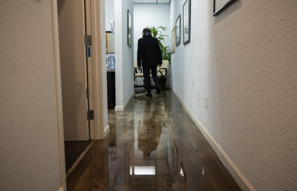
Firefighters assisted 10 patients in flooded roadways, VanSciver said, but it’s unclear if there have been any injuries amid the rescues. About six to eight blocks of homes in the Hueneme Bay senior community were affected by floodwaters; emergency responders helped 20 people out of homes there. Some homes saw as much as 3 feet of water, VanSciver said, requiring emergency crews to use a heavy-duty medical vehicle to transport residents.
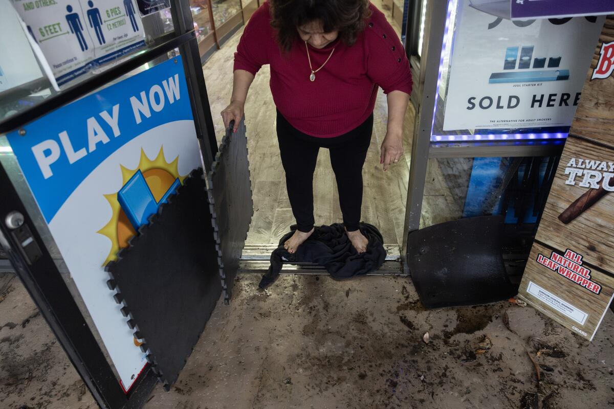
“The storm drains could not keep up with the rain,” VanSciver said.
Some of the homes in that area remain under an evacuation warning. An emergency shelter was established at the Oxnard College gymnasium, but other residents have been told to shelter in their homes while the floodwaters recede. Officials urged residents to stay home while roadways remain flooded on Thursday morning.
The overall effect from the rain is minimal, Santa Barbara County Fire spokesperson Scott Safechuck said. For nearly two days, it’s rained over Santa Barbara County and the storm is expected to linger through Friday.
But creeks and rivers in the area continue to flow and rescue crews have not been called to pull anyone out of the waters.
“In general the public is being very responsible to our warnings, when we tell them not to drive if you don’t have to and avoid flooded roadways,” Safechuck said.
County emergency responders have taken a proactive approach to torrential downpours ever since 2018, when a strong rainstorm caused a series of mud and debris flows to sweep over the community of Montecito. In total, 23 people died from the flow that left a 15-foot wall of mud and debris in its wake. Emergency officials maintain a steady line of communication with residents to ensure their safety.
“We’ve experienced heavy rains before. The Montecito debris flow was a devastating episode,” Safechuck said. “It’s something we think about every time it rains.”
The rain station at the remote Rocky Butte summit, about a mile east of Hearst Castle in San Luis Obispo County, received 15.72 inches of rain over a five-day period starting Sunday, according to the National Weather Service.
The station’s rain total is not indicative of the surrounding areas that saw far less rainfall total, NWS meteorologist Ryan Kittell said.
The rain station at Cal Poly San Luis Obispo received 3.78 inches over the same period, and a station in Atascadero recorded 4.09 inches .
The storm is expected to push its way toward Los Angeles County throughout Thursday and will bring heavy rainfall and possible thunderstorms through Friday afternoon, according to the weather service. Forecasts show 1 to 3 inches of rain in the forecast for Santa Barbara, Ventura and Los Angeles counties, with 3 to 5 inches in the mountains and foothills.
Meanwhile, the National Weather Service in Las Vegas issued a flash flood watch for southern San Bernardino County and southwest Mohave County through Friday night. Meteorologists forecast three-quarters of an inch to 1.50 inches of rain for the region, warning drivers to avoid low-water crossings.
Rain showers were expected to increase overnight on Thursday in Orange and San Bernardino counties. Snow levels were expected to drop to 6,500 to 7,000 feet early Friday, with a winter advisory in effect for the mountain areas and instructions for drivers to take snow chains.
What is the forecast?
The National Weather Service said there was a moderate risk of flooding mostly in coastal Los Angeles, Santa Barbara and Ventura counties as well as the Santa Monica Mountains. There were also concerns about mountain ranges along the coast in Ventura and Santa Barbara.
Though this storm is massive, it will move slowly. And that could cause heavy rain, thunderstorms and flooding on roadways and creeks.
What will the next few days look like?
Thursday: Heavy showers, chance of thunderstorms in some areas.
Friday: Moderate showers.
Saturday: Light showers, with moderate rain in some inland valleys, giving way to partly cloudy skies and strong winds.
Sunday: Partly cloudy, giving way to slightly warmer temperatures and sun.
Monday: (Christmas Day): Slightly warmer.
What conditions are expected?
The weather service issued a special marine weather warning for the Central Coast on Wednesday morning due to the potential for waterspouts and strong winds. There was a slight chance that the conditions would produce cause a tornado or waterspout between Point Conception in Santa Barbara County and Los Angeles County, according to the forecast.
A flood watch in in effect for most of Southern California. Residents in San Luis Obispo, Ventura, Santa Barbara and Los Angeles counties should be on the lookout for debris flows, flash flooding, general flooding and overflowing rivers, the weather service said.
Areas along the Santa Ynez and Santa Monica coastal ranges could see rainfall rates of an inch an hour Wednesday and Thursday from isolated thunderstorms. Other areas could expect to see 0.30 to 0.60 of an inch of rain per hour.
The storm could dump 2 to 5 inches of rain in coastal areas and up to 12 inches in coastal mountains.
What does the weather service advise?
The storm is expected to bring flooding for most of the region through Thursday, according to the weather service, which cautioned drivers to avoid roads that appear to be underwater.
“Rain may be locally heavy at times, and numerous floods are likely,” the weather service said in its social media channels. “Flash and urban flooding are expected, and debris/mud flows will be possible. Turn around, don’t drown!”
More to Read
Sign up for Essential California
The most important California stories and recommendations in your inbox every morning.
You may occasionally receive promotional content from the Los Angeles Times.
