Forward progress stopped on Riverside County fire amid evacuations; two homes destroyed
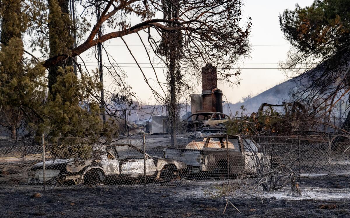
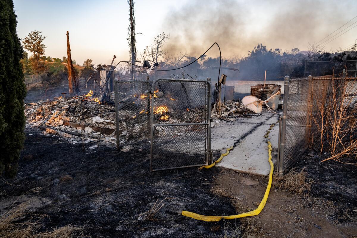
A wildfire in Riverside County on Thursday prompted evacuation orders and destroyed at least two residential structures, according to authorities. Meanwhile, another blaze broke out about 30 miles away in San Bernardino County.
The Riverside County blaze, dubbed the Juniper fire, was reported around 2:30 p.m. in the 19000 block of Santa Rosa Mine Road, according to Alex Izaguirre, a spokesperson for the Cal Fire/Riverside County Fire Department.
By 5:45 p.m., the latest update by the Fire Department, it had grown to at least 55 acres with 5% containment. Forward progress of the fire was stopped by that time, said Maggie Cline De La Rosa, another Fire Department spokesperson.
Shortly after the Juniper fire broke out, a separate wildfire ignited around 3:09 p.m. in the community of Mentone near Nice Avenue and Amethyst Street, roughly 30 miles northwest of the Riverside County fire.
The Nice fire had grown to 90 acres by 7:30 p.m. but was 10% contained, according to the California Department of Forestry and Fire Protection. The San Bernardino County fire was moving slowly, with no structures threatened by the blaze.
The Juniper fire prompted mandatory evacuations for residents of 88 homes south of Blue Sky Road, east of El Baquero Road, west of Maywood Club Road and north of Rocky Hills Road. An evacuation map is available here. A “care and reception center” for evacuees was opened at Pinacate Middle School, at 1990 South A St. The evacuation orders were later reduced to a warning except for the immediate vicinity of the fire.
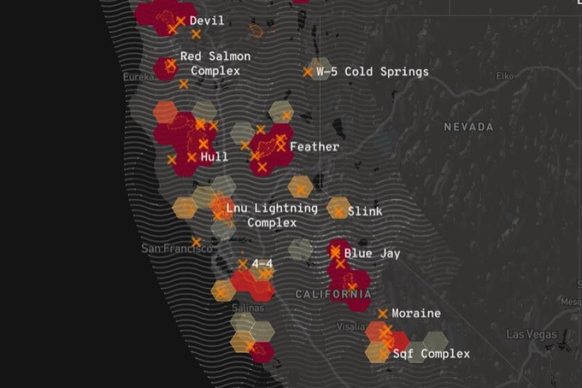
Track wildfire origins, perimeters and air pollution with the L.A. Times California wildfires map.
Two residential structures were destroyed by the fire, along with several vehicles, according to fire personnel.
About 100 firefighters were battling the blaze from the air and the ground, including 19 engine companies and four air tankers, Izaguirre said.
The blazes ignited as forecasters warned of increased fire danger from an incoming heat wave. Temperatures in the Southland are expected to soar to the triple digits this holiday weekend, and the National Weather Service has advised residents that hot, dry conditions could support rapid fire growth should a blaze ignite.
“Any spark from fireworks could easily start a fire in the tall grass crop that has cured and turned brown in recent weeks,” the agency said.
The causes of both fires remained under investigation.
More to Read
Sign up for Essential California
The most important California stories and recommendations in your inbox every morning.
You may occasionally receive promotional content from the Los Angeles Times.
