Volcano? Climate change? Bad luck? Why California was hit with 31 atmospheric river storms
As winter approached, few anticipated what was about to hit California.
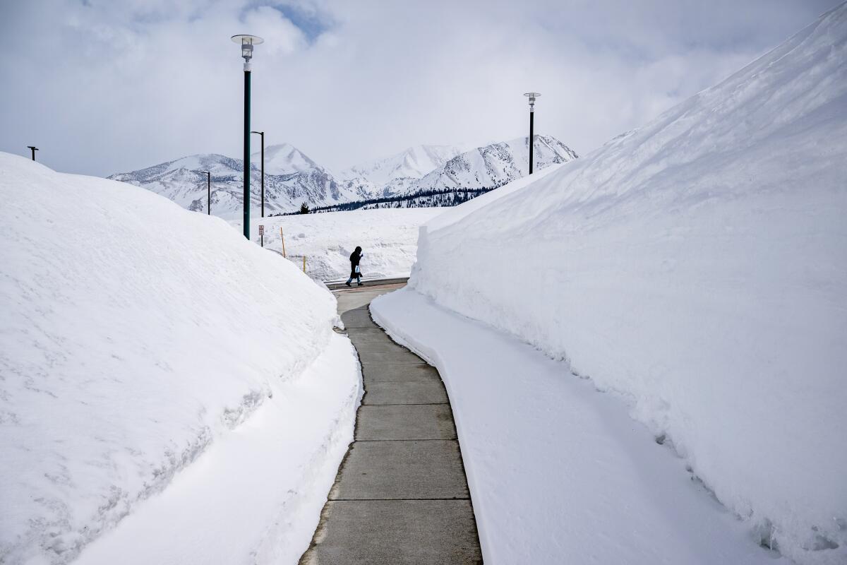
Mired in a serious drought, the state was suddenly battered by an onslaught of 31 atmospheric river storms in a matter of months. While the number alone isn’t exceptional, the location, intensity and duration of these storms had a transforming effect on California’s climate. Record snowfall. Deadly flooding. The end of many drought restrictions.
But one thing remains a mystery: Why did so many of these bands of water vapor, many back-to-back, slam into California?
While storm tracking has improved in recent years with data from better satellite images and air reconnaissance missions, scientists have not been able to pinpoint what exactly caused the relentlessly wet weather.
“The answer really is that we don’t know yet,” said UCLA climate scientist Daniel Swain. “It could be anything from the Hunga Tonga[-Hunga Ha’apai] volcanic eruption last spring, which injected a record-breaking amount of water vapor into the stratosphere in a way that’s not represented well in seasonal forecasts. It could be an unusual transition from La Niña to El Niño. It could be random bad luck.”
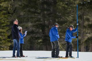
The snowpack is so deep that it currently contains roughly 30 million acre-feet of water — more water than Lake Mead, the nation’s largest reservoir.
Many of winter’s atmospheric river storms came farther south, moved slowly after making landfall and came later in the season than in prior years — creating more disruption, said Chad Hecht, a research and operations meteorologist at the Center for Western Weather and Water Extremes at UC San Diego’s Scripps Institution of Oceanography.
Central and Southern California in particular were hit by an above-average number of atmospheric rivers, especially moderate or strong ones, Hecht said.
“That’s where we’re really seeing a lot of our larger anomalies in terms of overall precipitation,” Hecht said. “This year, the Central Coast saw four strong atmospheric rivers, where it typically averages less than two.”
Allen White, a supervisory research meteorologist with the National Oceanic and Atmospheric Administration who has worked for years on atmospheric rivers, said 1983 was the last winter that compares with this year — but that was the product of a strong El Niño pattern, he said. This year was supposed to be a fairly moderate La Niña.
The rare ‘triple dip’ of La Niña was the first time in the 21st century the system appeared three years in a row. Now it could give way to El Niño.
“This is unusual to have that much precipitation across California during a La Niña,” White said. “That’s just the way the weather pattern set up … but we’re trying to learn more.”
Questions also surround the effects of climate change on atmospheric river systems, which scientists know have hit the state for decades and probably caused the Great Flood of 1862.
Some research shows that these storms could be getting slightly wetter due to climate change, Swain said, though he added that a minor increase can greatly intensify the system’s effects.
It might seem like recent weather has been dominated by new phenomena, but experts say these terms have been around for decades in the scientific world and are simply new to the public discourse as weather becomes more extreme.
Marty Ralph, the director of the Scripps Institution’s Center for Western Weather and Water Extremes, said that trend is likely to continue.
“With climate change, we see in the models larger [atmospheric rivers] because there’s more water vapor, and some stronger ones,” Ralph said. “And also in California, particularly, we see that we’re likely to get more of our annual precipitation [from] a few even stronger [atmospheric river] days, and longer dry periods in between.”
White likened the winter to a “racetrack” of atmospheric rivers hitting from late December through late January.
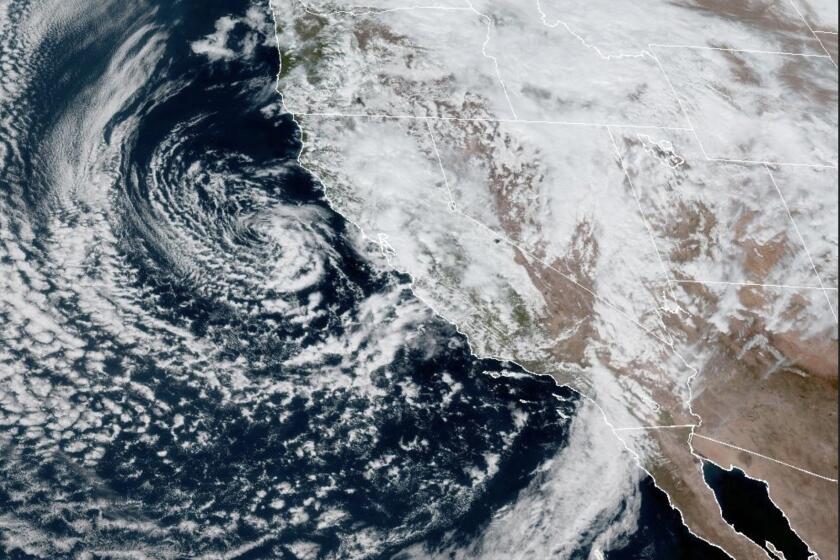
“You had the jetstream pretty much coming straight across the Pacific, so you had storm after storm in the same location,” with a different string of systems — often called “cutoff low-pressure systems,” likely to remain stationary over one area — moving down the state mostly from the north in February and March, White said.
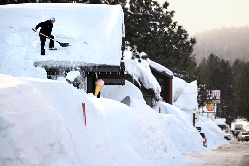
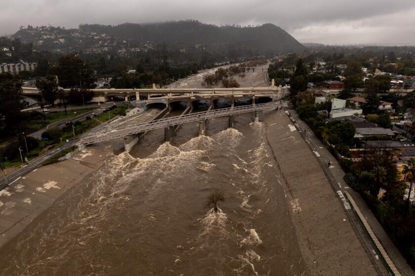
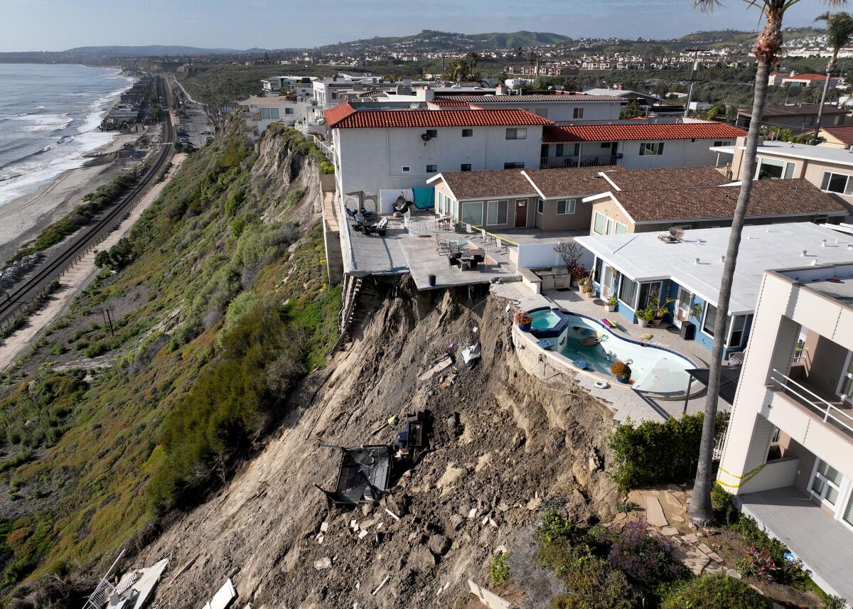
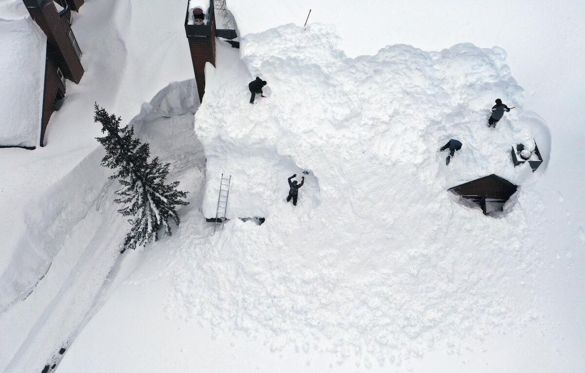
The series of storms dumped record-setting snow across the Sierra Nevada and Southern California mountain ranges, breached levees and flooded communities — a threat that lingers even after the weather clears, as the melting snowpack sends water rushing into low-lying areas. On the other hand, all that water was instrumental in pulling much of the state out of the grips of a years-long drought.
In the early 2000s, when Ralph started to study atmospheric rivers, scientists were beginning to realize how instrumental the storms were for the American West’s water supply — just a few of the systems can provide most of the region’s precipitation all year, Scripps researchers have found. Often carrying twice as much moisture as the Amazon River, research has shown, the storms also drive the vast majority of flood damage in the western U.S., especially in California.
California’s deadly storm season continued Friday as the first of two atmospheric river storms descended on the state, prompting evacuation orders.
“When we don’t get enough [atmospheric rivers], we slide into a drought,” Ralph said. “When we get too many, we can have the flood problems we’ve had this year — and also the benefits of having a lot of water to go around.”
Though a few dozen such storms are typical for parts of Northern California by this time of year, that quantity is much less common for Central and Southern California, where the numbers of moderate and strong atmospheric rivers were nearly double the average, data from Scripps show.
Moderate storms, the second category on the five-point scale created in 2019 to measure atmospheric rivers, begin to have a threat of becoming hazardous. The scale, which goes from weak to exceptional, is based on the atmospheric river’s amount of water vapor and its duration in one location, factors that determine whether a system will lean more beneficial or hazardous, Ralph said.
Of the 31 counted by Ralph’s team in California, one was categorized as extreme and six were strong. Almost half were moderate; 11 were weak.
Even weak atmospheric rivers can produce modest rainfall, but they are considered by scientists to be primarily beneficial. Strong storms are often a balance between hazardous and beneficial, while extreme and exceptional atmospheric rivers are primarily hazardous.
December and January led with eight and seven atmospheric rivers, respectively, followed by six in March.
“The whole issue with atmospheric rivers isn’t gonna go away because they’re sort of like the winter hurricanes in that they’re responsible for removing excess heat and moisture from the tropics,” White said.
Research into atmospheric rivers, which also affect regions such as Chile, Western Europe, South Africa and New Zealand, was made easier in the late 1990s by satellite imagery that more clearly showed the bands of water vapor. It’s imperative that such work continues, Ralph said, to better forecast the storms and their significant effect on water supply and flood risk.
“This is a topic that has a lot more coming in terms of how it relates to ecosystems, to human health, to the oceans, to polar regions,” Ralph said. “And to the basic ability of us to have the water we need and to avoid the floods that can be so disruptive.”
More to Read
Sign up for Essential California
The most important California stories and recommendations in your inbox every morning.
You may occasionally receive promotional content from the Los Angeles Times.
