Dramatic before and after photos from space show epic snow blanketing SoCal mountains
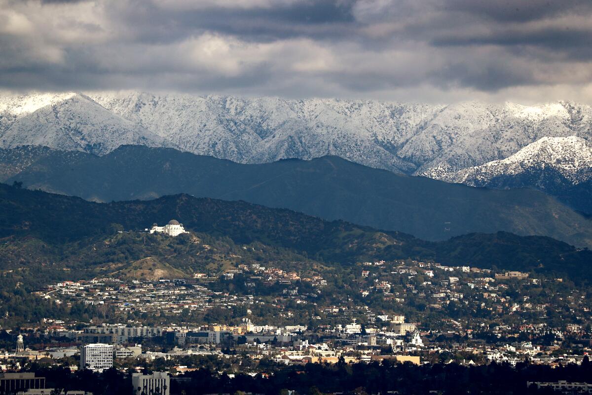
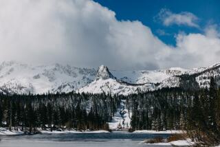
After last week’s epic winter storm hit Southern California, new satellite photos from NASA Earth Observatory show snow covering the region’s mountains.
UCLA climate scientist Daniel Swain said we could see “a historically significant snowfall for parts of the Southern California mountains.”
“This well may be the largest single-event snowfall in some parts of Southern California since the 1980s,” Swain told The Times before the storm hit. “This is a big deal.”
Data from the National Weather Service describe the incredible amounts of snow at various peaks as of 9 a.m. Sunday:
- Mountain High Resort, sitting at a 7,000-foot elevation in the San Gabriel Mountains, had 93 inches of snow, or nearly 8 feet. The resort is north of Mt. Baldy.
- Mt. Pinos, near Frazier Park in the Los Padres National Forest, saw up to 72 inches of snow, or 6 feet. The mountain is more than 8,500 feet high.
- Mt. Wilson, towering above Pasadena at 5,700 feet, saw 40 inches of snow.
The snowfall has stranded some residents in the San Bernardino Mountains. In the Lake Arrowhead area, which got more than 5 feet of snow, the situation is serious.
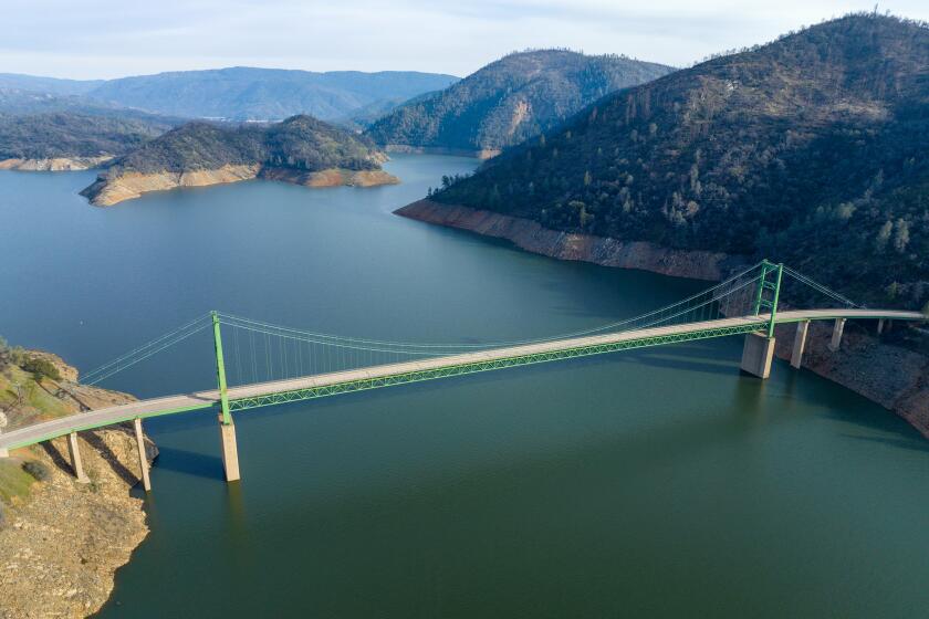
Satellite photos from NASA Earth Observatory show water levels at Lake Shasta and Lake Oroville increasing dramatically after early-winter storms.
“It’s really bad up here,” said Brooke Cutler, who is staying at a friend’s house in Lake Arrowhead. “People are really in trouble and are suffering.”
A new storm this week could bring a total of up to 2 more feet of snow in the highest elevations, officials said, which could create more challenges for residents and officials following days of blocked roadways because of snow and ice from the last storm.
Officials say the latest storm doesn’t have as much moisture or strength as the last system, which brought significant rain and snowfall to the region, but it could still cause notable disruptions, especially on roadways Wednesday morning.
A winter weather advisory is already in effect for most of the region’s mountains, which was upgraded to a winter storm warning Tuesday afternoon until late Wednesday, when heavier snow, high winds and difficult travel are expected.
Times staff writers Hayley Smith and Nathan Solis contributed to this report.
More to Read
Sign up for Essential California
The most important California stories and recommendations in your inbox every morning.
You may occasionally receive promotional content from the Los Angeles Times.

