Why SoCal’s winter storm is so unusual: Rain, big waves, rare blizzard warning
Southern California has only gotten a taste of the powerful winter storm system that forecasters say will bring an extended period of cold temperatures, high winds and snow, prompting what officials called the region’s first blizzard warning since 1989.
The blizzard warning, which is in effect Friday and Saturday for Southern California’s highest mountain ranges, is likely only the second on record for the Los Angeles area, according to the National Weather Service, Officials initially called this week’s warning the first on record, then later confirmed a blizzard warning was also issued in 1989, when a strong winter storm brought rare snowfall to Southern California, from Palm Springs to the hillsides of Malibu.
That 1989 snowfall has already drawn comparisons to what’s expected this week, said David Sweet, a meteorologist at the weather service’s Oxnard office.
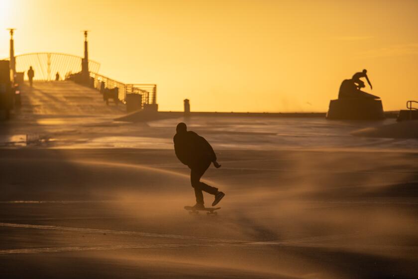
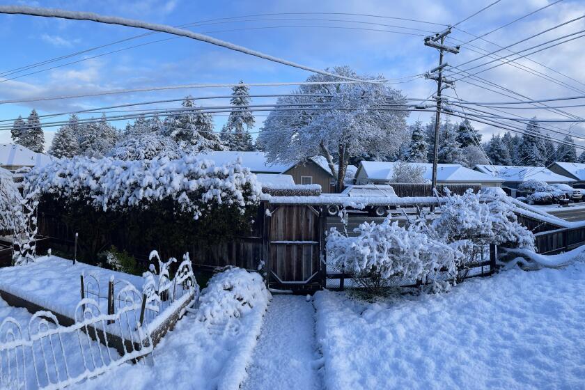
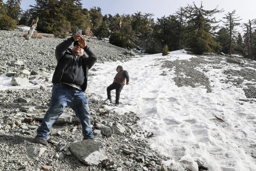
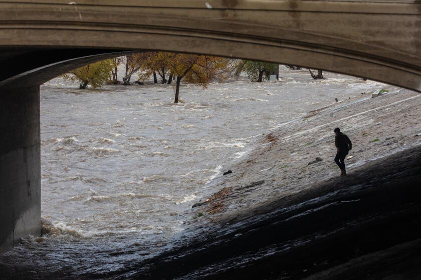
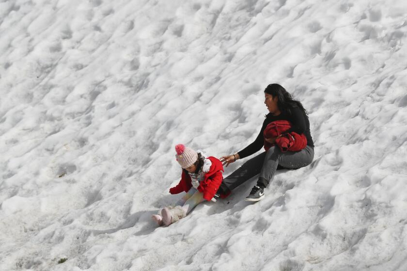
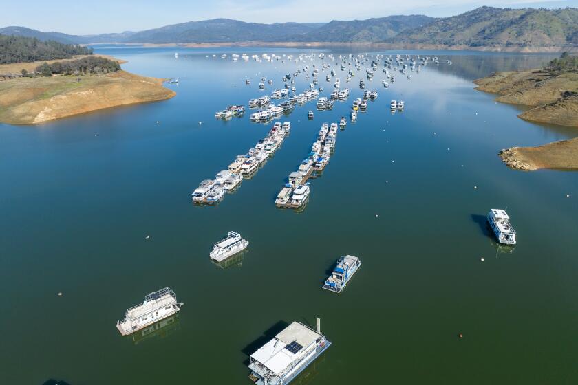
Scenes from across Southern California, where a powerful winter storm dumped heaps of snow and record-setting rain.
“Between late Thursday and early Saturday, we’re looking at a storm delivering more snow than any other snow in recent decades,” Sweet said. “This is an unusual storm for the area.”
Officials are still trying to build an accurate forecast, but snow has already started to fall in the Antelope Valley and along the Grapevine, and forecasters are warning of the possibility of severe and dangerous conditions that could last through Sunday.
The event is expected to be “a snowmaker of the likes we have not seen for many years,” said Andrew Rorke, senior forecaster with the National Weather Service office in Oxnard.
Already dumping snow in Northern California, the storm is set to intensify as it moves to Southern California, bringing blizzard warnings to the mountains.
Though the snow will be most concentrated in the mountains, Sweet said, heavy precipitation and winds will span the region, especially Saturday when the “cold core” of the storm will center on Los Angeles.
“It’s going to be a wild and woolly kind of day — the lightning, the thunder, the hail, the graupel,” he said, referring to a type of frozen crystal that can look like snowflakes. “No one is going to be spared.”
Here is what to expect.
After a wet January, some weather experts think recent low temperatures could be enough to stave off any dramatic snowpack loss.
The forecast
- Some areas could see snow at elevations as low as 1,500 feet. The Antelope Valley and the Interstate 5 pass through the Grapevine already recorded some snow early Wednesday and are likely to see more, Sweet said — though even lower-elevation snow remains possible. More inland areas above 2,000 feet in elevation, including the high desert and Santa Ana Mountains, could see a few inches to a few feet of snow by late Thursday, said James Brotherton, a meteorologist with the National Weather Service office in San Diego.
- Conditions will become more extreme late Thursday and early Friday, when the “cold core” of the storm will be right above Southern California, Sweet said. A blizzard warning has been issued for some L.A. and Ventura county mountains from 4 a.m. Friday through Saturday afternoon, when 6 to 12 inches of snow are expected to fall on most mountain passes, and isolated amounts up to 7 feet could fall at the highest elevations, the warning said. Winds could gust up to 75 mph, with near-zero visibility.
- Such heavy snowfall could damage structures and trees, and carries “an immense threat of avalanches, especially in the eastern San Gabriel Mountains by Saturday,” the weather service warned.
- Coastal and valley areas of Southern California could see 2 to 4 inches of rain between Thursday and Saturday, with rain falling at rates up to 1 inch per hour.
- Temperatures will be 10 to 20 degrees below normal.
- Sunday should bring a slight break before the next system, Sweet said, with Monday carrying a chance for more rain and cold temperatures.
Before heavy rain, power outages, evacuations or other dangerous conditions, prepare yourself, your home and your family. Here’s what you should know.
Warnings
- The low snow levels could cause significant driving problems, especially on major passes like Interstates 5 and 15, and even Highway 74 through eastern Orange County. On Friday and Saturday, the weather service warned mountain “travel could be very difficult to impossible. Very strong winds could cause extensive tree damage.”
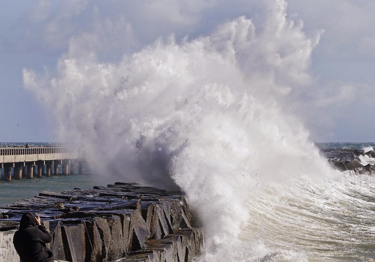
- The National Weather Service warned of “very dangerous” marine conditions along the coast. Storm gusts, rip currents and high surf are expected. “Dangerous conditions are capable of capsizing boats,” the weather service said.
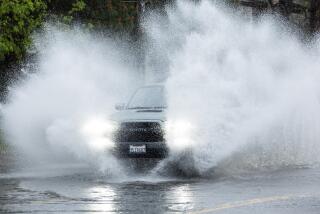
- Rain in coastal and valley areas will increase driving hazards, with chances for flooding in urban areas and in burn scars.
- Downed trees and power poles are another potential hazard.
- Whiteout conditions and avalanches are possible in high elevations, which could see up to 7 feet of snow.
The storm is expected to be ‘a snowmaker of the likes we have not seen for many years,’ a forecaster said, with a chance for snow even at sea level.
Cold weather health alert
- The Los Angeles County Department of Public Health on Tuesday issued a cold weather alert for the Antelope Valley, the Santa Clarita Valley and Mt. Wilson for Wednesday through Saturday, with temperatures expected to drop below freezing.
- Officials tell residents in these areas to seek shelter and public facilities if needed and to not use stoves, grills or ovens to heat homes because of the risk of carbon monoxide poisoning.
Safety tips
- Sign up for alerts and check often for updates. Sign up to receive alerts about emergencies. For the city of Los Angeles, sign up at Notify L.A. If you’re elsewhere in L.A. County, you can find your municipality’s alert system sign-up here. For other places, search “emergency alerts (your city or county).”
- Prepare as if the power might go out. Here is a complete list of what to do before, during and after a blackout.
- Heed evacuation orders. If you’re told to evacuate, go. Here’s what to pack for an evacuation.
- Stay safe on the road. Even after the rain is over, streets could still be flooded or closed by downed trees and other debris. Leave extra time to reach your destination and heed all road closures.
- Drive with caution. Check for closed roads and hazardous conditions.
- Avoid mountain travel if possible. This isn’t a weekend to head to the mountains. “Too many times people underestimate just how extreme the conditions can be in the southwest California mountains,” Sweet said. “They’re going to get some pretty wicked conditions up at the higher elevations.”
As California grapples with worsening climate extremes, officials warn that recent storms don’t add up to an end to the drought.
Here are more tips:
California is being hit by another massive rainstorm. Here’s how to prepare and stay safe
‘Turn around, don’t drown’ and other survival tips for driving in heavy rain
This massive storm may mean blackouts. Here’s what to do before, during and after the power goes out
How to prepare and pack if you might need to evacuate
How to sign up for emergency alerts in Southern California
More to Read
Sign up for Essential California
The most important California stories and recommendations in your inbox every morning.
You may occasionally receive promotional content from the Los Angeles Times.
