California braces for more storms. When will they hit and how bad will they be?
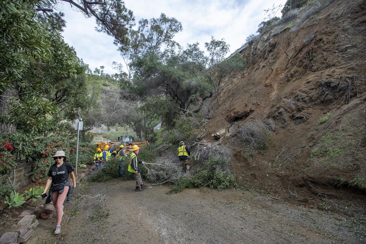
A new round of storms marched into California on Friday, the eighth atmospheric river-fueled event since Christmas Day.
So how bad will it be?
Here’s a rundown by region. Northern California, already battered by severe flooding, is expected to be at higher risk than Southern California.
A National Weather Service meteorologist says heavier rains, strong winds and more snow for the mountains are expected Saturday.
Northern California
Friday: Light to moderate rainfall is expected in Northern California. The risk of new flooding for much of the San Francisco Bay Area and Central Valley won’t begin until late Friday night or Saturday morning.
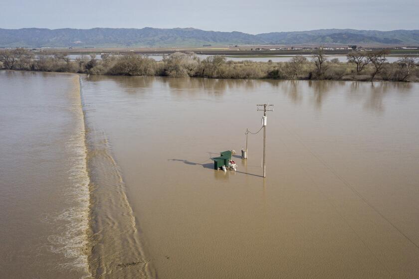
One major exception is the Salinas River, where rising water could flood Highway 68 and possibly Highway 1, effectively severing the Monterey Peninsula from Santa Cruz County and the rest of the San Francisco Bay Area.
The Salinas River at the town of Spreckels rose above flood stage — 23 feet — at 7 p.m. Thursday, and was expected to peak at 26.2 feet by midday Friday, remaining in flood stage through early Sunday, according to the California Nevada River Forecast Center.
With the river at 23 feet, the weather service said, it’s expected that a few homes near the Salinas River will be flooded. At 24 feet, Spreckels Boulevard will begin to flood. And at 26 feet, the lower portions of Soledad, Gonzales, Chualar, Spence and Spreckels face moderate flooding. Twenty thousand acres of farmland in the Salinas Valley could flood, and Highway 68 would be inundated.
Flood warnings have been in effect for areas around the Salinas River as well as parts of Merced County, which has also faced recent flooding, especially in the town of Planada. As floodwaters from Miles Creek receded in Planada, the sheriff began allowing residents to return to their homes Thursday. But the risk of renewed flooding remains.
Flood watches remain in effect for the Navarro and Russian rivers in Mendocino County. Significant flooding of Highway 175, east of the town of Hopland in Mendocino County, is expected at the bridge that crosses the Russian River.
Travel will be difficult in Tahoe and the Sierra Nevada, where heavy snow could begin Friday afternoon. The National Weather Service said travel is highly discouraged in the area.
Saturday: The flood risk intensifies on Saturday. A flood watch for wide swaths of Northern California will be in effect. Rain is expected, as are gusty winds, but it will turn to scattered light showers by evening. In the Central Valley, small hail and isolated funnel clouds are possible.
“Excessive runoff may result in flooding of rivers, creeks, streams and other low-lying and flood-prone locations,” the weather service said. “Creeks and streams may rise out of their banks. Flooding may occur in poor drainage and urban areas. Low-water crossings may be flooded.”
It’s possible there could be “extensive street flooding and flooding of creeks and rivers,” the agency said.
Travel will be difficult to impossible in the Sierra Nevada.
The National Weather Service said flooding of the Navarro River could force the closure of Highway 128 several miles east of Highway 1. The section connects the Mendocino County coast with Sonoma Valley.
Sunday and Monday: Another, but weaker storm, arrives. Expect rain, and snow in the mountains. Flood risk persists.
President Biden will be visiting California this week following the winter storm that left the state with closed roads, freezing temperatures and a Venture County city evacuated.
Southern California
Friday: Los Angeles and Orange counties will likely remain dry, but rainfall is possible in San Luis Obispo, Santa Barbara and Ventura counties Friday afternoon or evening.
Through the holiday weekend, there could also be coastal flooding, especially during times of high tide.
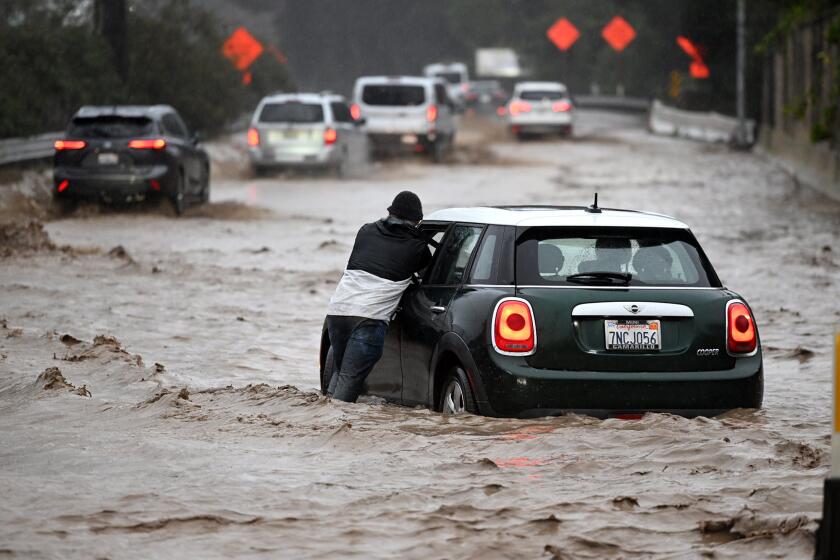
Saturday: It will be a rainy day. The National Weather Service for L.A., Ventura, Santa Barbara and San Luis Obispo counties said to expect “minor roadway ponding” and “moderate to brief heavy rain, leading to minor urban and small creek flooding.” Rockslides are possible in canyons and steep hillsides, but meteorologists expect a minimal threat of flooding from mainstem rivers.
Sunday and Monday: Another storm arrives Sunday afternoon to early Monday, followed by showers and isolated thunderstorms Monday into Tuesday morning. There could be a dusting of snow on the Grapevine mountain pass of the 5 Freeway on Monday night into Tuesday.
More to Read
Sign up for Essential California
The most important California stories and recommendations in your inbox every morning.
You may occasionally receive promotional content from the Los Angeles Times.
