‘Brutal,’ life-threatening atmospheric river hitting California: Timing of impact, what to know

California will be hit by what National Weather Service officials call a life-threatening rain event beginning Wednesday.
“To put it simply, this will likely be one of the most impactful systems on a widespread scale that this meteorologist has seen in a long while,” the NWS said in a forecast for Northern California. “The impacts will include widespread flooding, roads washing out, hillside collapsing, trees down [potentially full groves], widespread power outages, immediate disruption to commerce, and the worst of all, likely loss of human life. This is truly a brutal system that we are looking at and needs to be taken seriously.”
“Threat to life likely during this storm,” it added.
Days of significant rainfall have already soaked much of the state. A flood watch has been issued for much of Northern California.
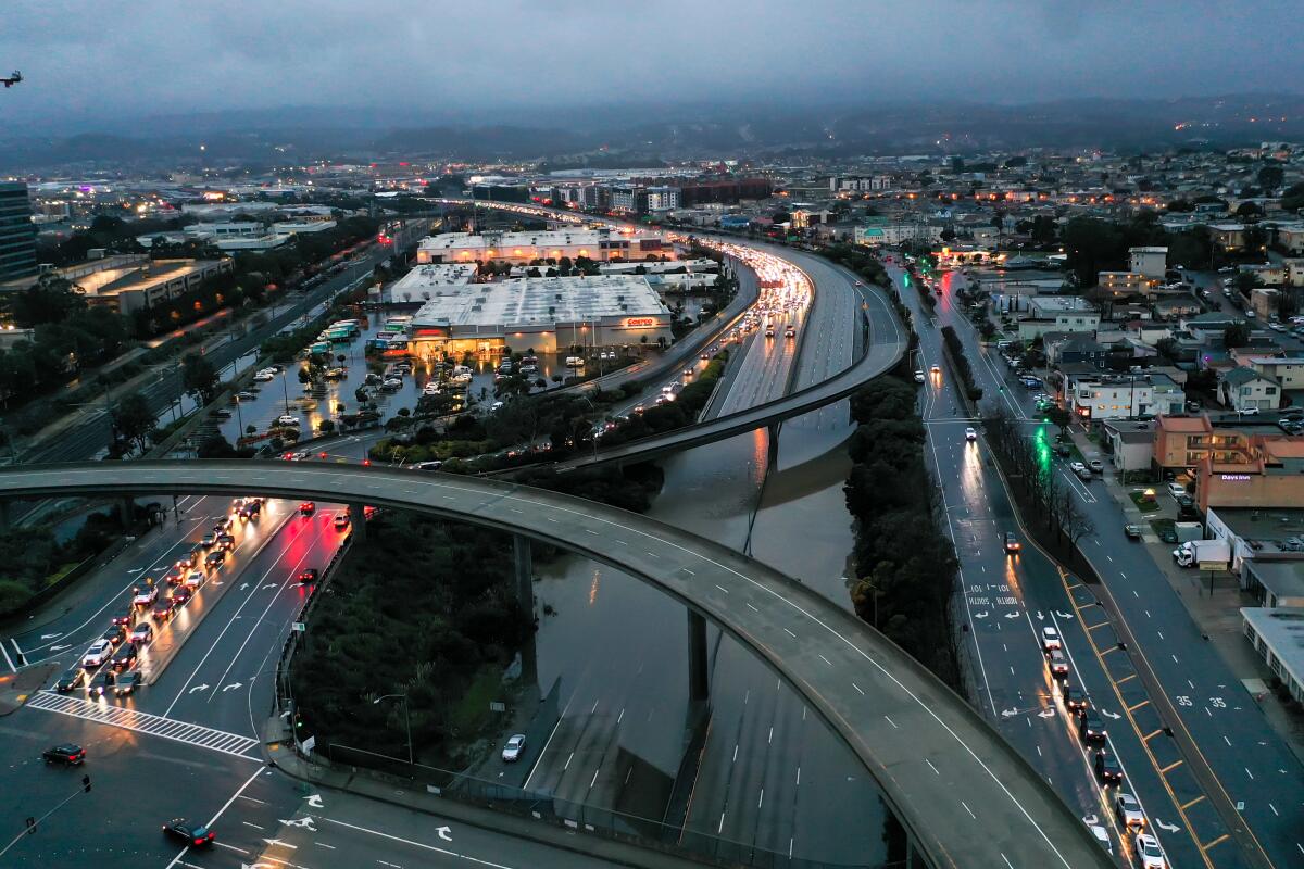
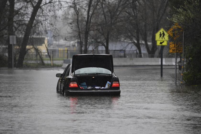
This follows a massive storm that slammed Northern California over the the weekend, killing at least one person, flooding parts of San Francisco and causing a levee to break and close a major highway.
Here is a breakdown of what to expect over the next few days:
Timing
Northern California
- Rain expected to batter northern region of the state Wednesday and continue through at least Friday.
- In the Sacramento Valley and northern San Joaquin Valley, forecasters are expecting at least 2 inches of rain, with upward of 3 inches in some places. The foothills could get anywhere from 2 to 5 inches of rain, said Scott Rowe, a meteorologist with the National Weather Service in Sacramento.
- A flood watch will be in effect for virtually all of the Sacramento Valley from Wednesday to Friday mornings.
- Starting Wednesday, the Bay Area could see 2 to 4 inches of rain in the lower elevations, with 3 to 6 inches in the coastal hills, said Ryan Walbrun, a weather service meteorologist in Monterey.
Southern California
- More rain is expected this week, with the big storm hitting Wednesday and Thursday. By Friday, the storm should give way to partly cloudy skies. More rain could come Sunday.
- This storm “looks like it’s going to be the strongest of the season,” said David Sweet, a meteorologist at the National Weather Service in Oxnard.
- On Wednesday, an initial frontal system will bring maybe 1 to 2 inches of rain across the area, with slightly higher amounts in the mountains, Sweet said. Rainfall totals could be anywhere from 2 to 5 inches in the lowest elevations and 5 to 8 inches in the mountains, he said.
The powerful storm that knocked out power, toppled trees — including one that killed a toddler — and flooded homes along the coast in Santa Cruz continued its march through the region.
Impacts
Northern California
- After being battered by a record rainstorm over the weekend, officials fear the potential for flooding, mudslides and more broken levees. “The flood threat is going to be renewed at least at this point from an urban standpoint, with folks that live in city limits, with poor drainage, low-lying areas, low-lying roads, those are some of our primary concerns right now,” Rowe said.
- “We already have set the stage with the flooding from this last week. We’re entering this storm with a whole new different set of circumstances,” Rowe said Monday. “Everything is already wet and well saturated in many instances. It’s definitely a situation that we’re watching very carefully.”
Southern California
- “Damaging winds and flooding would be the main concerns with this particular system,” Sweet said. “It’s going to be a challenging couple of days.” The storm could also bring winds of 50 mph and would be “very capable of bringing down power lines, trees, tree branches” and causing possible damage in some areas, he added.
More to Read
Sign up for Essential California
The most important California stories and recommendations in your inbox every morning.
You may occasionally receive promotional content from the Los Angeles Times.


