Eye-popping satellite photo shows Tropical Storm Kay over Southern California
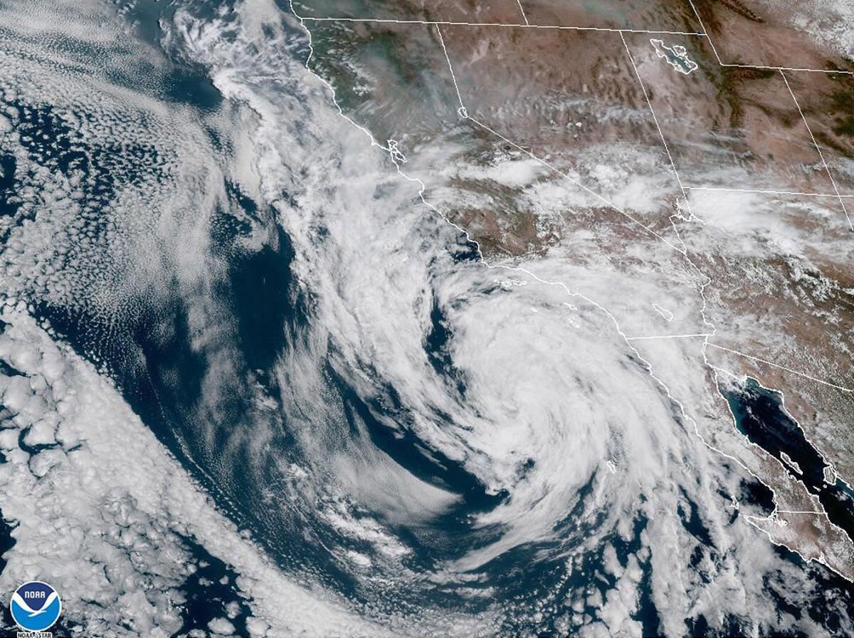
It was an unusual sight at the tail end of one of California’s weirdest weather weeks ever: a massive tropical storm system swirling over the Southland.
The satellite image, captured Saturday by the National Oceanic and Atmospheric Administration’s Geostationary Operational Environmental Satellite, showed Tropical Storm Kay hovering off the coast of Southern California and Mexico’s Baja Peninsula — an image more typically associated with parts of the Atlantic Ocean, Gulf of Mexico and other warmer waters.
Though Kay never made landfall in the state, “it was certainly closer than anything we’ve ever had before that I can remember,” said Mike Wofford, a meteorologist with the National Weather Service in Oxnard.
Wofford said it would take some time for officials to analyze the full scope of the storm, including its ultimate size and cumulative effects. But Brandt Maxwell, a meteorologist with the weather service in San Diego, said “it’s not outlandish to say that the impacts covered a 1,000-mile-wide area.”
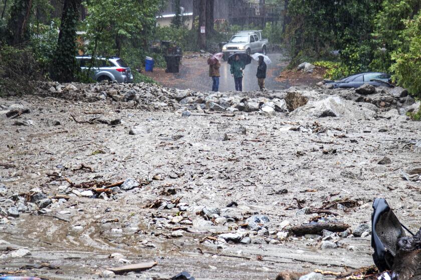
Residents of Oak Glen were ordered to evacuate just after 9 p.m. Monday as the remnants of Tropical Storm Kay brought flash flooding to parts of Southern California.
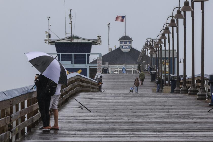
Among those impacts were notable rainfall, strong winds and dangerous debris flow throughout the region. In San Diego County, the storm dropped more than 5 inches of rain in Mt. Laguna, the majority of which fell on Friday, Maxwell said.
The Los Angeles area saw less precipitation overall — with most areas recording 1.5 inches or less by the end of the weekend — but did see some daily records, including 0.32 inches in Sandberg on Sunday. What’s more, dozens of trapped motorists had to be rescued from the Lake Hughes area on Sunday after rainfall from the storm contributed to debris flow and muddy conditions.
A flash flood watch remains in effect in parts of Southern California through Monday, Maxwell said, but the storm is “gradually weakening.”
“Not so much L.A., but in areas farther south and east like Orange County, the Inland Empire and San Diego County, it’s bringing a lot of cloud cover,” he said. “We’ll still have a chance of thunderstorms this afternoon, mainly over the mountains, but it looks like things get less impactful Tuesday and Wednesday.”
Heavy rains began in San Diego and moved north, with some expected to last into Saturday.
Though the storm was not nearly enough to end the megadrought plaguing the state, it did help dampen the raging Fairview fire in Riverside County, officials said.
It also left residents with one of the more indelible images of the season.
“Now this is a satellite view you don’t see every day,” one Reddit user wrote in a post about the image.
UCLA climate scientist Daniel Swain shared a similar sentiment in his blog, Weather West.
“Seeing intact tropical cyclones this far north and east along the Pacific Coast of North America is quite rare,” Swain wrote. “There are only a couple of other examples in living memory in which tropical storm or greater strength storms have gotten this close to SoCal.”
More to Read
Sign up for Essential California
The most important California stories and recommendations in your inbox every morning.
You may occasionally receive promotional content from the Los Angeles Times.
