Oak fire near Yosemite explodes to 6,555 acres. 10 structures destroyed, thousands evacuated
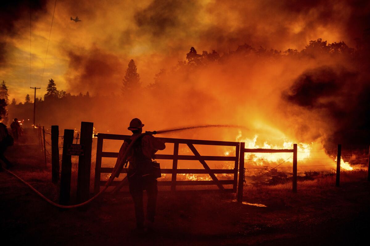
A brush fire in Mariposa County showed extreme behavior as it exploded in size to 6,555 acres overnight, threatening thousands of homes and quickly becoming one of California’s largest wildfires of the year.
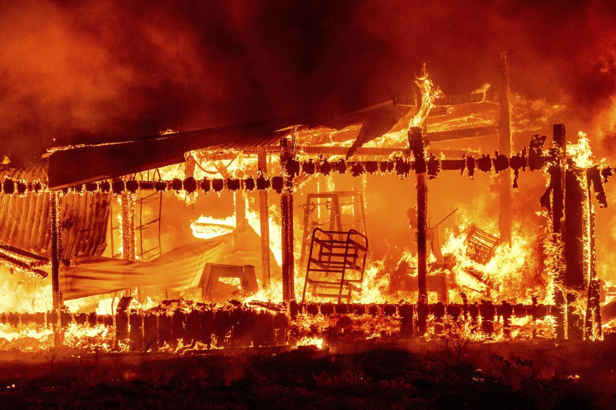
The Oak fire, which started around 2 p.m. Friday, was 0% contained as of noon Saturday, according to the California Department of Forestry and Fire Protection. The fire has destroyed 10 structures and is threatening 2,000 more.
Areas under mandatory evacuation orders Friday night stretched for several miles, from the unincorporated community of Jerseydale south to Bootjack and other areas along Highway 49.
“Fire activity is extreme with frequent runs and group torching,” according to Cal Fire. “Vegetation is very receptive to new spot fires due to the hot, dry weather and drought. Heavy fuels, strong winds and low humidity are also influencing fire behavior.”
Assisted by several water-dropping helicopters, nearly 400 firefighters are battling the blaze.
Fire officials said it could be a week before the fire is fully contained. Authorities are investigating what caused the blaze, which began in the area of Highway 140 and Carstens Road near Midpines.
By noon Saturday more than 60 people had checked into the evacuation center at Mariposa Elementary School, said Taylor Poisall, spokeswoman for The American Red Cross of the Central Valley.
Beds with privacy screens were set up in the school cafeteria and three daily meals are being served, Poisall said. A pet shelter was also opened at the school by the Central California Animal Disaster Team.
“We had a lot of people evacuate last night with their animals,” Poisall said. “Animals are family too.”
The evacuation center was initially set up east of town at the New Life Christian Fellowship, which had been used in prior fires. But within the first hours of the fire, it was moved to the elementary school for safety
“We moved because the wildfire was moving so quickly,” Poisall said.
Some residents evacuating the Oak fire posted photos to Twitter of a pyrocumulus cloud ballooning into the atmosphere. The cloud top reached altitudes of 25,000 to 30,000 feet early Friday night, according to Andy Bollenbacher, a meteorologist with the National Weather Service in Hanford.
Pyrocumulus clouds are formed by plumes of smoke rising vertically over wind-driven fires. Heated air from the fire rises rapidly, creating even gustier conditions and making suppression more difficult. Under certain conditions, that fast-rising air can create a fire tornado. The black pyrocumulus clouds carry soot, ash and other pollutants as high as 10 miles into the atmosphere.
In the most extreme cases, a wildfire can create its own weather when smoke forms what is known as a pyrocumulonimbus cloud. Like a thunderstorm, such clouds produce lightning and potentially stronger winds, which can start and spread more fires in a chain reaction.
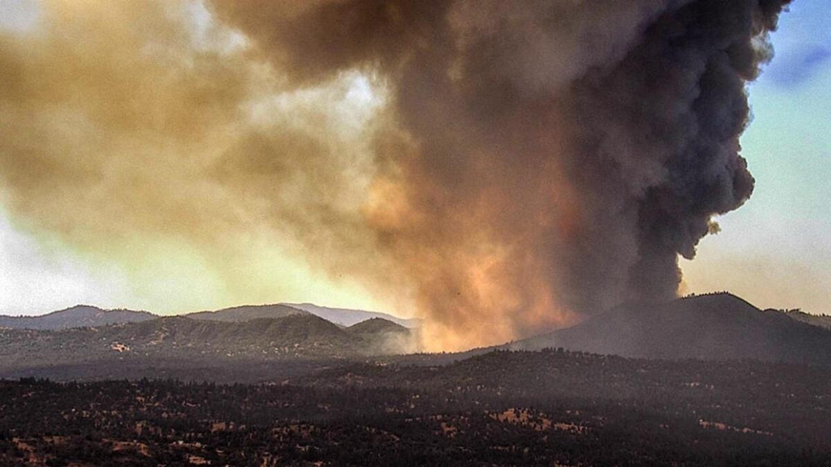
Though conditions in the Oak fire area were not yet that severe, they helped drive the fire’s rapid growth, Bollenbacher said. Relative humidity was very low — about 7% to 8% — and temperatures hovered around 95 degrees. Winds came out of the northwest at 5 to 10 mph and gusted to about 20 mph, he said.
Lighter winds Saturday could bring limited relief and tamp down the extreme spotting behavior observed Friday, but temperatures and humidity will stay about the same, Bollenbacher said.
The fire tore through an area with extremely dry fuels near “subdivisions nestled in the foothills amid dense vegetation,” Daniel Swain, a climate scientist at UCLA and a California climate fellow at the Nature Conservancy, said on Twitter.
“With #OakFire, streak of relatively modest and non-destructive wildfires in CA so far this season appears to be over,” Swain said in a later tweet. “This continues to be an intense & fast-moving fire, and is now burning into the wildland-urban interface, with some level of structure loss already.”
Less than 10 miles east of the blaze, the Washburn fire was still burning in Yosemite National Park. That fire has scorched nearly 5,000 acres since igniting July 7 and was 79% contained as of Friday.
Deputies received reports of people trapped in the evacuation zone either without vehicles or otherwise not able to leave, said Kristie Mitchell, spokesperson for the sheriff’s office. Units were helping them evacuate, but it was not clear how many people in the path of the fire needed assistance.
An evacuation center has been set up at Mariposa Elementary School at 5044 Jones St., the sheriff’s office said. Those with animals should go to the Mariposa Fairgrounds and Exposition Center at 5007 Fairgrounds Road.
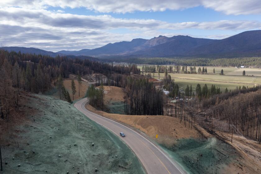
An increase in catastrophic wildfires has reduced California tree cover by 6.7% since 1985, and researchers fear the lost trees will never grow back.
As of late Friday night the following areas were under evacuation orders:
- Boyer Road from Highway 49S and all side roads
- Darrah Road from the stop light to Triangle Road
- Darrah Road to Valley View and all side roads
- Triangle Road from 49S to Westfall Road and all side roads, including Triangle Park
- Triangle Road from Highway 140 to Darrah Road
- Tip Top Road
- Wass Road
- Westfall from Triangle Road to Oliver Creek
- Lushmeadows subdivision
- Triangle Road from Darrah Road to Westfall Road
- Silva Road from Triangle Road to Van Ness Road
- Jerseydale Road and all side roads
- Carstens Road
- Buckingham Mountain Road
- Plumbar Creek
A map of areas under evacuation orders can be found here. Additional alerts and information from authorities can be found at mariposacounty.org.
More to Read
Sign up for Essential California
The most important California stories and recommendations in your inbox every morning.
You may occasionally receive promotional content from the Los Angeles Times.
