Winter storm in Southern California: Road closures, evacuations
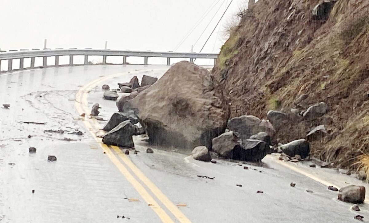
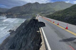
A rockslide has blocked a portion of Decker Canyon Road in Malibu.
(California Department of Transportation)
A powerful, slow-moving winter storm that has brought record rain and snow to Southern California has snarled traffic and closed highways and prompted evacuation warnings near burn scars.
Road closures
- Grapevine: The 5 Freeway through the Grapevine north of Gorman and on the Tejon Pass reopened Thursday evening just after 4 p.m. after being closed for several hours due to heavy snow over the summit, officials with the California Department of Transportation said.
- Castaic Junction: The 5 at the Castaic Junction in Castaic reopened around 4 p.m.
- Pacific Coast Highway/State Route 1: Closed at northbound at Chautauqua Boulevard, southbound at Temescal Canyon Road due to downed trees.
- State Route 2 (Angeles Crest Highway): East of Cedar Springs in the Angeles National Forest in Los Angeles County is closed from State Route 39 to Big Pines due to emergency work from the snowfall.
- State Route 18 (Rim of the World Highway): State Route 18 at Arrowhead Springs in San Bernardino County is closed to northbound traffic due to emergency work from the snowfall. The road closed to southbound traffic between 40th Street and Highway 138 earlier this month because of a sinkhole created by heavy rains.
- State Route 33 (Maricopa Highway): Wheeler Gorge north of Ojala in Ventura County is closed to northbound traffic due to poor weather conditions.
- State Route 38 (San Gabriel Canyon Road): North of Falling Springs in the Angeles National Forest in Los Angeles County is closed due to poor weather conditions.
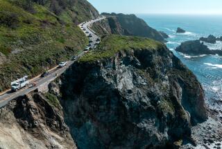
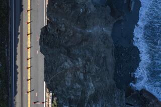
- Decker Canyon in Malibu on State Route 23: Closed on the south end of the Pacific Coast Highway due to mud and rock slides. Crews are also checking roadway conditions at the north end of PCH.
- Pacific Coast Highway/Puerco Canyon Road: State Route 1 reopened after road crews cleared a mudslide.
- Pacific Coast Highway/Santa Monica Bluffs: Northbound lanes of State Route 1 are closed at the Santa Monica Bluffs/Ocean Avenue onramp due to a mudslide near the California Incline. The city of Santa Monica is clearing drains at the top of the bluffs. Traffic is being taken off the westbound 10 Freeway at the Lincoln Boulevard off-ramp.
- Pacific Coast Highway/Encinal Canyon Road: Large rocks and mud have washed onto State Route 1, but the road remains open.
Debris flows
- Coldwater Canyon/Studio City: Coldwater Canyon Avenue near Potosi Avenue is closed due to a mudflow coming off the hillside.
- Sunset Boulevard/Pacific Palisades: The westbound lanes of Sunset Boulevard are impacted from Chautauqua Boulevard to Amalfi Drive due to a debris flow as crews work to clear the roadway.
- Sunset Boulevard/Bienvenida Avenue: A downed tree is blocking multiple lanes. Traffic is closed in both directions on Sunset Boulevard.
Evacuations
- Orange County residents living in the burn scar of the Bond fire in Silverado Canyon, Williams Canyon and Modjeska Canyon were under a voluntary evacuation warning, which expired at 1 p.m.
San Bernardino residents living in the burn scar of the El Dorado fire in Oak Glen, Forest Falls, Mountain Home Village, Northeast Yucaipa are under an evacuation warning through 3 p.m. Friday due to the rain and possible debris flow.
More to Read
Sign up for Essential California
The most important California stories and recommendations in your inbox every morning.
You may occasionally receive promotional content from the Los Angeles Times.
