L.A. gets a bit of rain, with more on the way
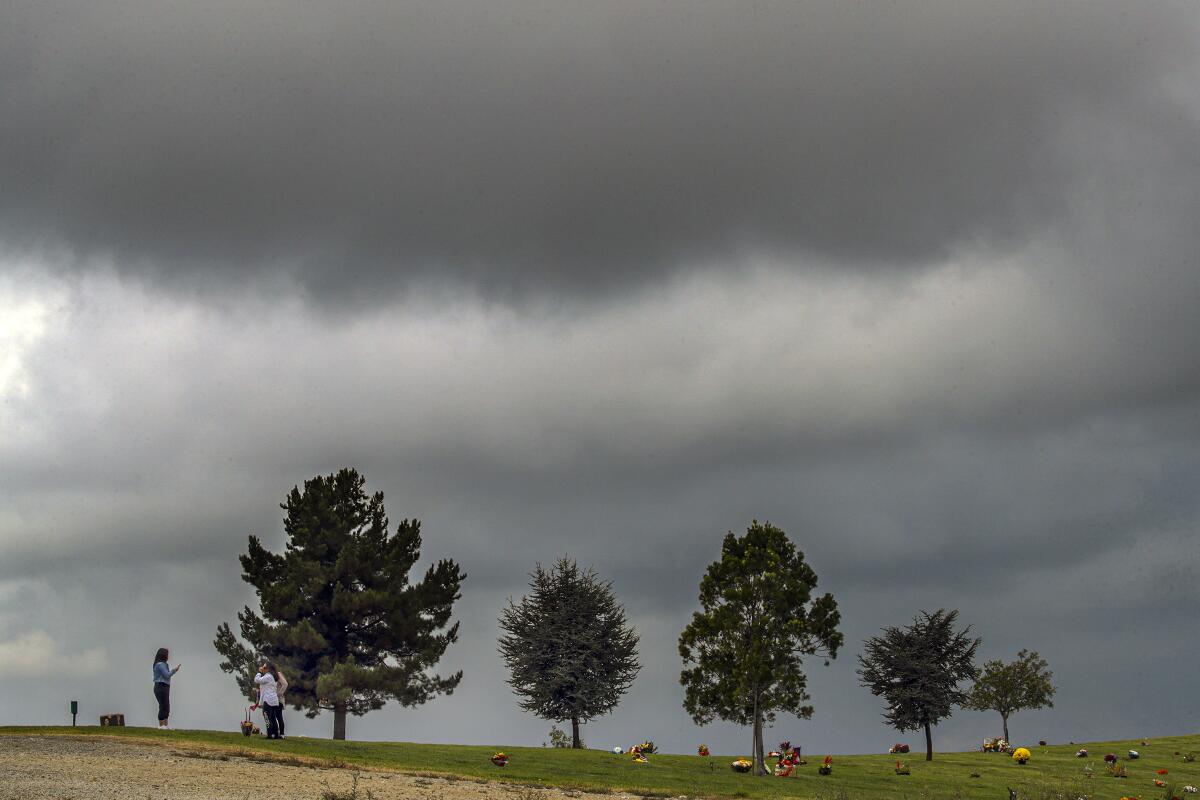
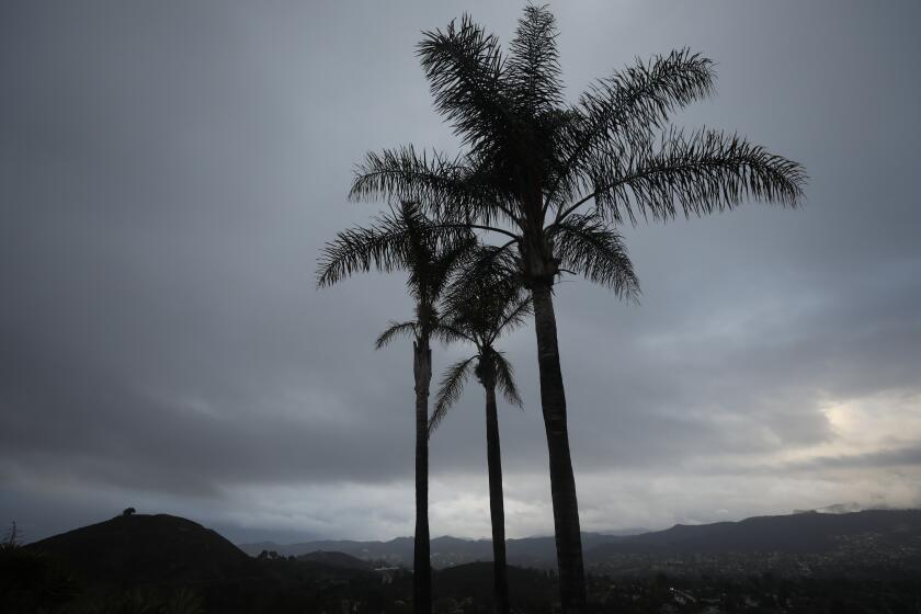
Parts of Los Angeles got rain overnight, with more on the way Monday.
The meager rainfall is part of a weather pattern that is expected to bring hazardous conditions farther north starting Sunday, with forecasters warning that the western side of the Sierra Nevada could see excessive rain that causes flooding and debris flows in recent burn areas.
In L.A. County, the San Gabriel Mountains led the way with a scant 0.12 inch of rain measured at the San Gabriel Dam, said David Sweet, meteorologist with the National Weather Service in Oxnard. Many coastal areas, including Leo Carrillo State Beach, got a similar soaking, while the San Gabriel Valley and downtown Los Angeles received less rain.
The storm system is expected to be followed by an atmospheric river event that will probably peak in Los Angeles around midday Monday and could dump half an inch to an inch of rain on downtown L.A., Sweet said. The atmospheric river, a concentrated stream of water vapor circulating in the middle and lower levels of the atmosphere, could result in localized flooding, and roads may become slippery because of oil residue runoff, he said.
L.A. County mountains could get up to 1½ inches of rain and will probably see gusty conditions, with wind advisories possible, Sweet said.
Temperatures will be about five to 10 degrees below normal through Sunday, with highs in the upper 60s to lower 70s in the warmest valley and inland coastal areas, the weather service said. Conditions are forecast to cool off even more Monday, when those valley and coastal areas are expected to reach only the upper 50s to lower 60s, before steadily warming up again through the end of the week.
The fall rains come as welcome relief after California reported its hottest summer on record and its driest water year in nearly a century, conditions that helped stoke a long and active wildfire season.
“It’s quite pleasant to see something normal occur,” Sweet said.
With peak fire season upon us, rain and wind are in a race for who gets here first.
At the same time, the atmospheric river is expected to bring heavier rain and mountain snow to Northern California starting Sunday, raising fears of life-threatening flash floods and debris flows in recent burn scars. More than a foot of rain could fall in the Sierra Nevada, with up to 3 feet of snow possible at higher elevations through Tuesday, forecasters said.
The storm is expected to start off with warmer temperatures, with the heaviest rain in Northern California on Sunday and high snow levels of 8,500 to 10,000 feet, said Eric Kurth, meteorologist with the National Weather Service in Sacramento. That could cause flooding, as well as ash and debris flows in areas that have seen severe wildfire over the last several years.
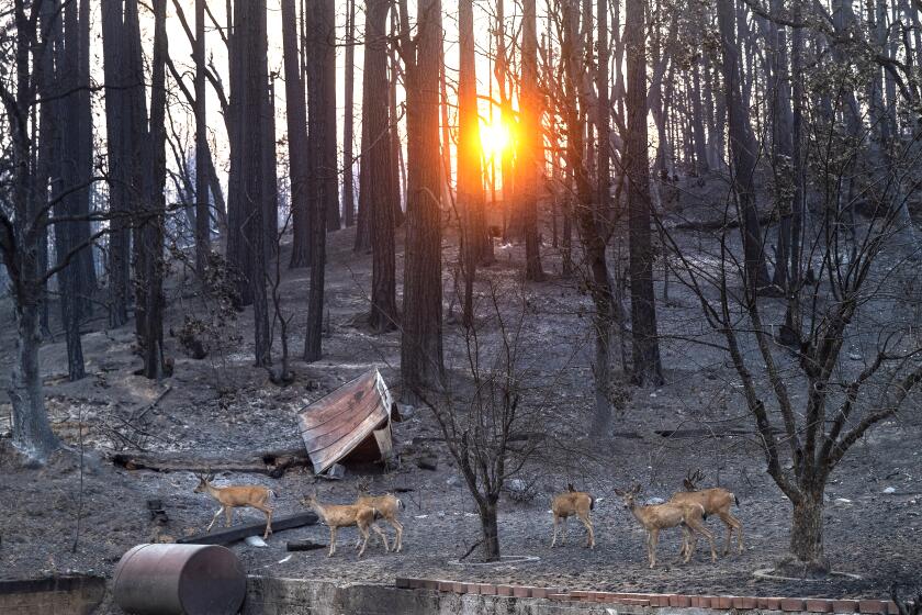
The National Weather Service issued a flash flood watch for the scars of 13 fires that burned between 2018 and this year, which totals more than 2.2 million acres in the Sacramento forecast area alone.
The highest risk is projected for the scars of the Caldor fire along the Highway 50 corridor and the Dixie fire along Highway 70, where the heaviest rainfall is expected, according to the weather service.
“We’re very concerned about seeing just how heavy the rain could be, especially during the day Sunday,” Kurth said.
An atmospheric river could unleash debris flows and flash flooding across Northern California, especially in areas scorched by fire.
Those living near recent burn areas should be on alert for evacuation orders, he said.
Experts say the risk is particularly high because there was virtually no transition period between what’s been a severe fire season and intense precipitation. Such dramatic swings are expected by scientists to become more common as climate change warms the planet, resulting in longer, hotter periods of drought and more sporadic, intense bursts of precipitation.
The storm system is expected to bring temperatures down late Sunday, and by Monday snow levels could drop to 5,500 feet, causing problems at passes and making travel difficult, Kurth said. Snow is expected to keep coming down into Tuesday, with high winds potentially taking down tree branches and compromising visibility by blowing snow, he said.
Highs are expected to be in the mid 40s to low 50s in the Sierra on Sunday, then drop down to the low to mid-40s — low to mid-30s at higher elevations — on Monday and Tuesday, the weather service said.
Although the string of storms is expected to bring the curtain down on Northern California’s severe fire season, it will not be sufficient to end the drought, Kurth said.
“We’ve been in a very dry period for two years, so I think it’s fair to say we won’t get out of the drought with one storm, even a very wet storm like this,” he said.
Still, he said, it’s the wettest start to the fall the region has seen since 2016.
More to Read
Sign up for Essential California
The most important California stories and recommendations in your inbox every morning.
You may occasionally receive promotional content from the Los Angeles Times.
