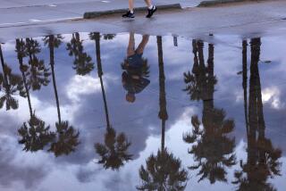
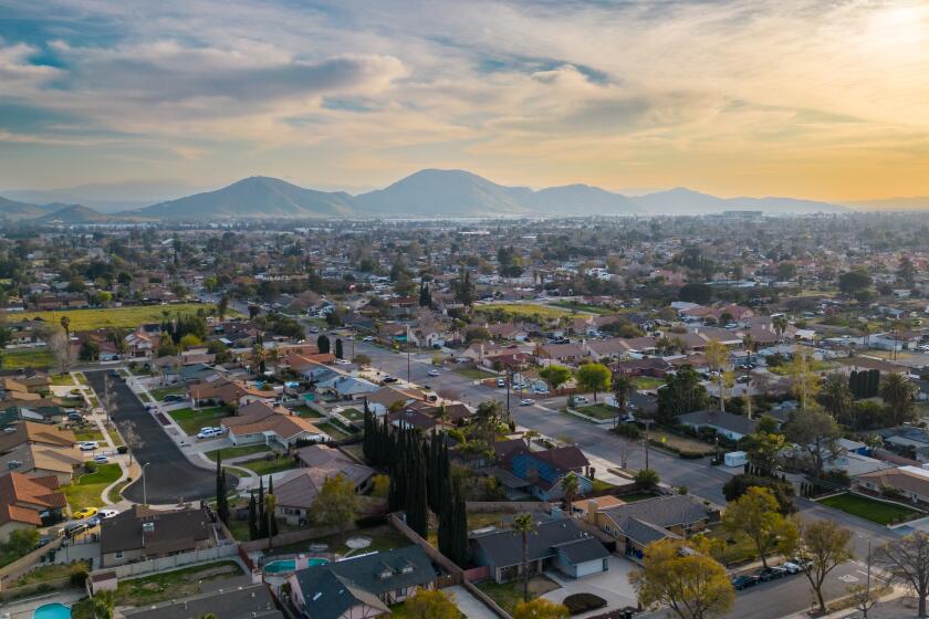
Drizzle teases L.A. after toasty weekend, and more moisture is on the way
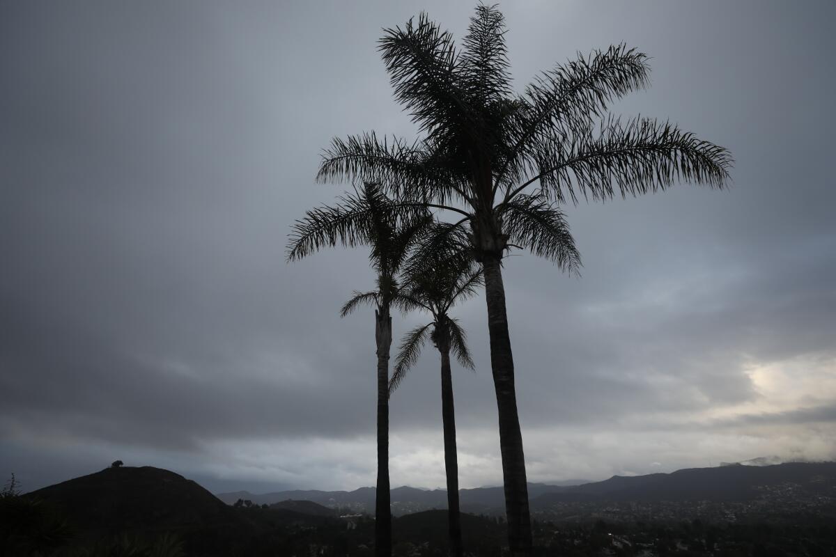
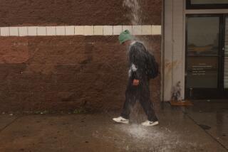
Residents across Southern California awoke to gray skies and light drizzle Monday, a dramatic shift after a warm, dry weekend.
A low-pressure front forcibly lifted the low clouds and marine layer fog, squeezing out a smattering of moisture, according to the National Weather Service.
The light rainfall dampened the region but probably amounted to only five-hundredths of an inch, said David Sweet, a meteorologist with the weather service’s Oxnard station.
Although the rain is expected to clear by afternoon, temperatures are expected to remain cool throughout the day, hovering in the mid- to upper 60s in central Los Angeles and the valley areas. Palmdale and Lancaster were forecast to top out at 58 degrees.
“It’s certainly an interesting change over what we had a couple days ago,” Sweet said. The weekend was marked by Santa Ana winds that brought higher-than-normal temperatures and an increased fire risk to Los Angeles and Ventura counties.
Sweet was blunt about the front’s lackluster effect on critically dry weather that has plagued the region for the last two years: “This rain will do absolutely nothing for relieving the current drought.”
The weather system was far more dramatic in the central and northern parts of the state, which recorded measurable rain and even snowfall at higher elevations.
Winter weather advisories warning of dangerous road conditions caused by snow were issued for the Lake Tahoe area as well as parts of the northern Sierra Nevada and western Plumas County. The advisories expired at 9 a.m. Monday.
Snow was already accumulating in the northern Sierra, said Eric Kurth, a meteorologist with the weather service’s Sacramento station.
Mountain areas reported rainfall up to an inch, and parts of the Central Valley — including Sacramento — recorded up to a quarter of an inch.
Downtown Sacramento ended its record-setting run of 212 consecutive days without measurable rainfall when moisture rolled in Sunday evening, Kurth said. The previous record of 194 consecutive days was set in 1880.
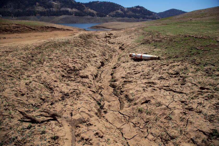
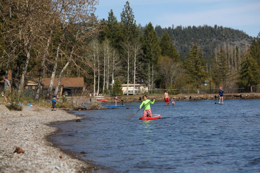
Some boat ramps and docks are hundreds of feet from the water line, said Geoffrey Schladow, director of the UC Davis Tahoe Environmental Research Center.
Another system is expected to hit central California on Tuesday evening, followed by a series of storms throughout the week and into the weekend, Kurth said, noting, “It looks like we’re in a wet pattern.”
Though most of the activity will be to the north, parts of Southern California could also get rain next weekend.
Sweet said the greatest chance for moisture in Los Angeles would arrive Monday.
Precipitation throughout California remains lower than average. The Western Regional Climate Center added the average precipitation reported at each of its stations and calculated that an average total of 11.87 inches of rain and snow fell in California in the 2021 water year. That’s half of what experts deem typical during a water year in California, which runs Oct. 1 through Sept. 30: about 23.58 inches.
More to Read
Sign up for Essential California
The most important California stories and recommendations in your inbox every morning.
You may occasionally receive promotional content from the Los Angeles Times.

