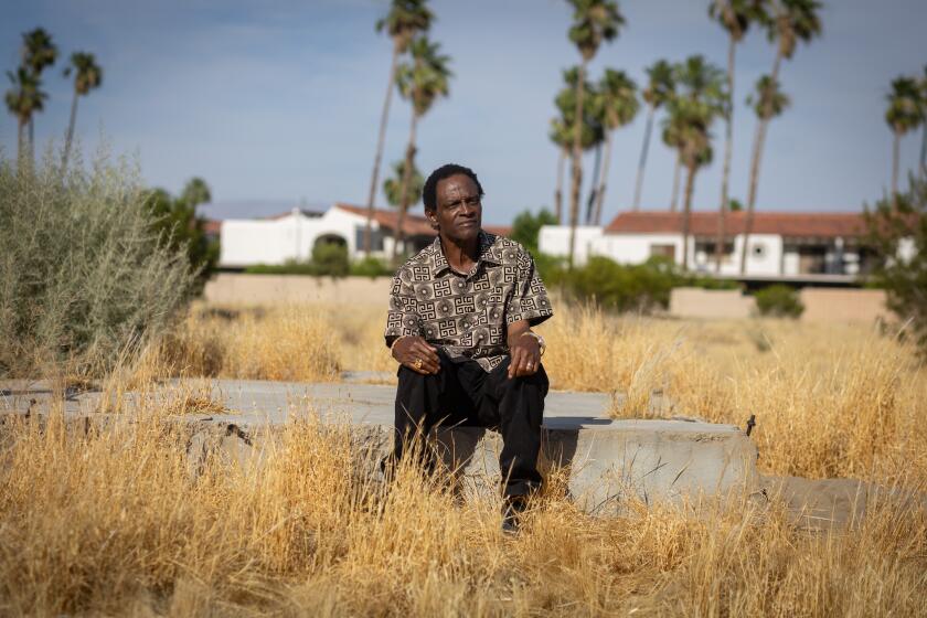
The Hollywood fault is an invisible earthquake danger running under the heart of L.A.
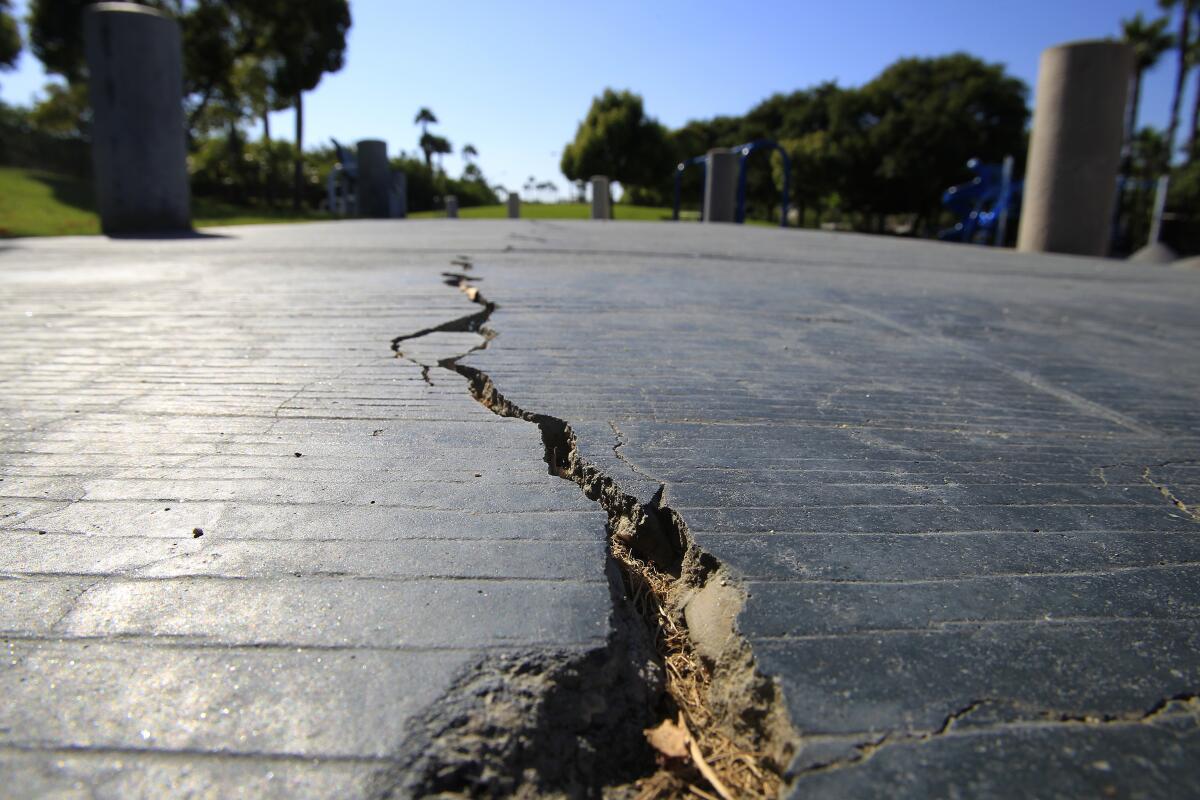
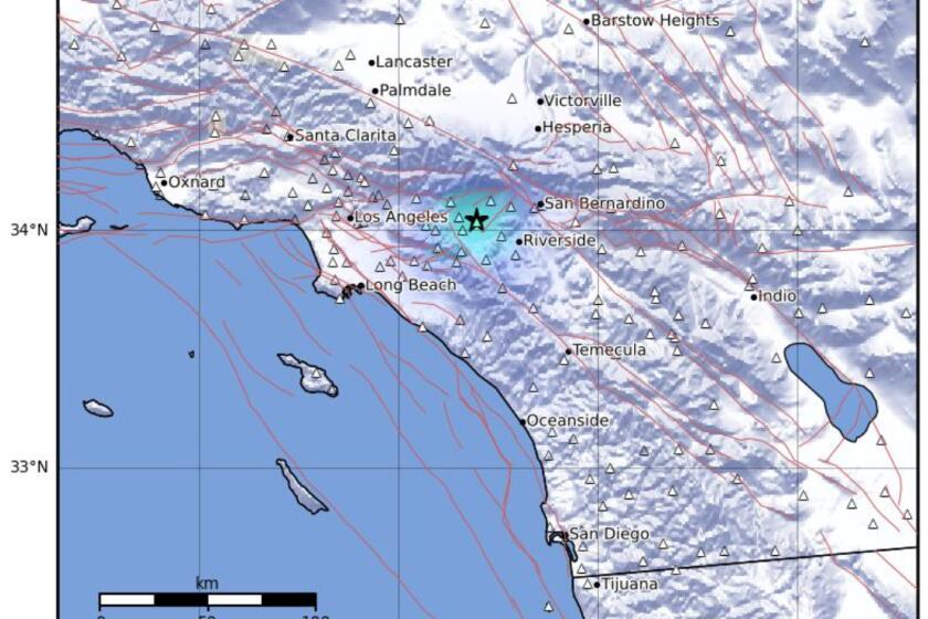
The Hollywood fault runs through some of the most densely populated parts of Los Angeles. According to the California Geological Survey, the fault runs roughly along Franklin Avenue through Hollywood and Sunset Boulevard through West Hollywood.
What is the Hollywood fault capable of?
It can produce an earthquake as large as a magnitude 7.
How long have scientists been aware of the fault?
The Hollywood fault has been known for several decades, but its precise route has become clearer only in recent years.

Could it join up with other faults to produce a bigger quake?
Yes. It’s possible the Hollywood fault could rupture nearly simultaneously with the Santa Monica fault to the west and the Raymond fault to the east.
The Santa Monica fault runs below Rodeo Drive and the Beverly Hills shopping district, cutting through the so-called Golden Triangle and running between Santa Monica and Wilshire boulevards, according to a state map published in 2018. The Santa Monica fault cuts through the heart of the Westside, straddling or paralleling Santa Monica Boulevard through Century City and Westwood before veering due west, with segments running into Brentwood, Santa Monica and Pacific Palisades.
The Raymond fault runs from northeast L.A. through South Pasadena, Pasadena, San Marino, Arcadia, Monrovia and the unincorporated area of East Pasadena. For stretches, the fault runs alongside parts of Eagle Rock, York and Huntington boulevards and under a stretch of the 110 Freeway in South Pasadena.
The Raymond fault caused the magnitude 4.9 Pasadena earthquake in 1988, one that literally threw seismologist Lucy Jones out of bed.
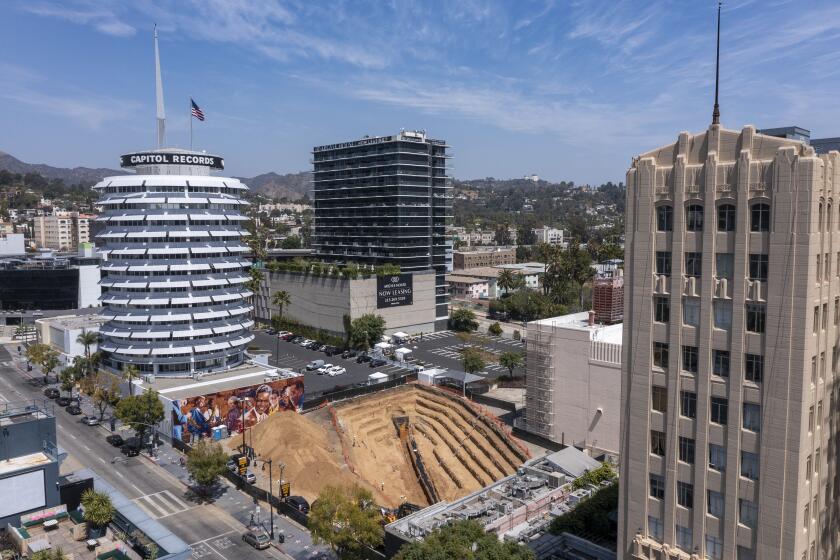
For eight years, there has been a high-profile argument over whether active earthquake faults run through the proposed development site in Hollywood.
Why are there so many buildings built on top of the Hollywood fault?
When Hollywood was transformed in the 1920s from lemon groves into an entertainment capital, few were aware of the existence of faults. Homes, apartments and offices have been built all along the Hollywood fault area.
In fact, as outlined in U.S. Geological Survey scientist Susan Hough’s recent book “The Great Quake Debate: The Crusader, the Skeptic, and the Rise of Modern Seismology,” there was much debate in the 1920s about whether Southern California was at risk for major quakes.
“Through the early 1920s, Southern Californians could believe the line that business interests spun: yes, earthquakes sometimes occurred in Southern California, but they were little more than a passing nuisance,” she wrote.
Evidence of those efforts appeared in the Los Angeles Times, as uncovered by Hough’s research. Days after a magnitude 6.8 earthquake rocked Santa Barbara in 1925, leaving 13 dead and causing millions in property damage, The Times published a story called “Splendid, Santa Barbara,” offering reassurances that “so far as earthquakes are concerned, Santa Barbara is today about the safest community in the whole country.”
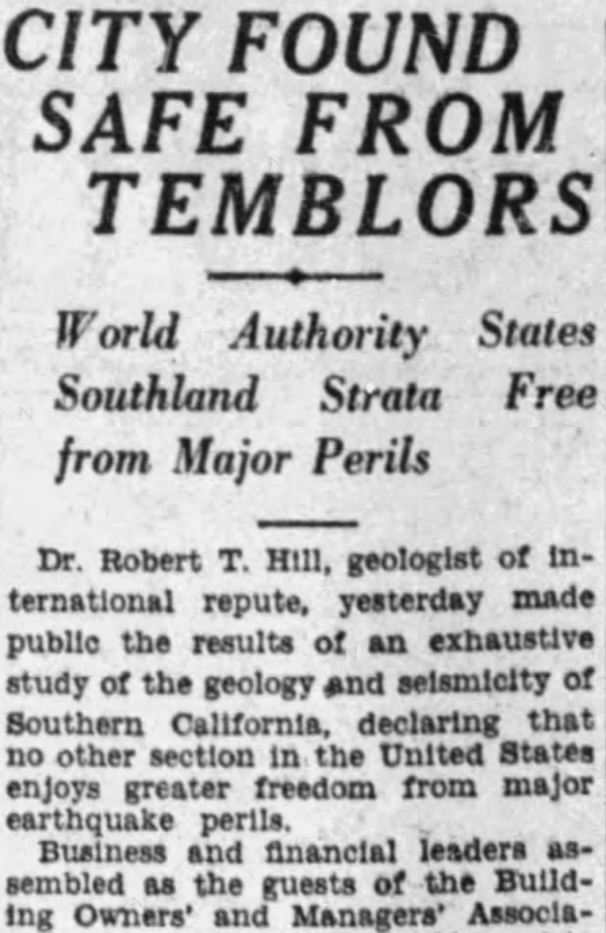
A story in The Times in 1927 said: “City found safe from temblors.” Sourcing a geologist speaking to a group of Los Angeles building owners, the story said that in Southern California, “no other section in the United States enjoyed greater freedom from major earthquake perils.”
Southern California’s deadliest quake in modern recorded history occurred six years later. The magnitude 6.4 Long Beach earthquake of 1933 resulted a death toll of 120.
When did officials realize it was a bad idea for buildings to be directly on top of a fault?
The magnitude 6.6 Sylmar earthquake of 1971 showed how buildings directly on top of an earthquake fault that reached the surface could be destroyed. In that quake, buildings straddling the San Fernando fault were ripped apart. One side of the fault shifted away from the other by as much as eight feet. About 80% of the buildings along the fault suffered moderate to severe damage.
Following that quake, state lawmakers passed a law that generally banned construction of new buildings on top of earthquake faults.
Sometimes, owners only find out they’re living on an earthquake fault after the shaking begins.
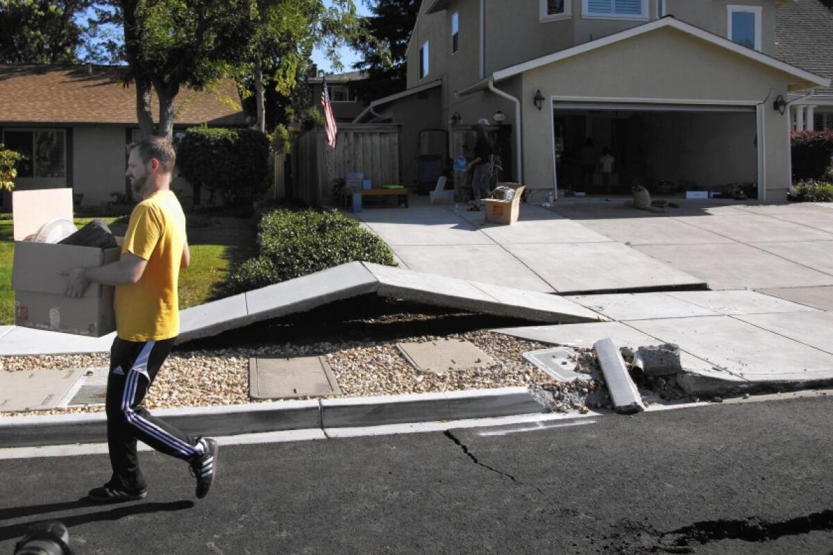
Some homeowners in Napa found they lived directly on top of an earthquake fault when a magnitude 6 earthquake struck in 2014.
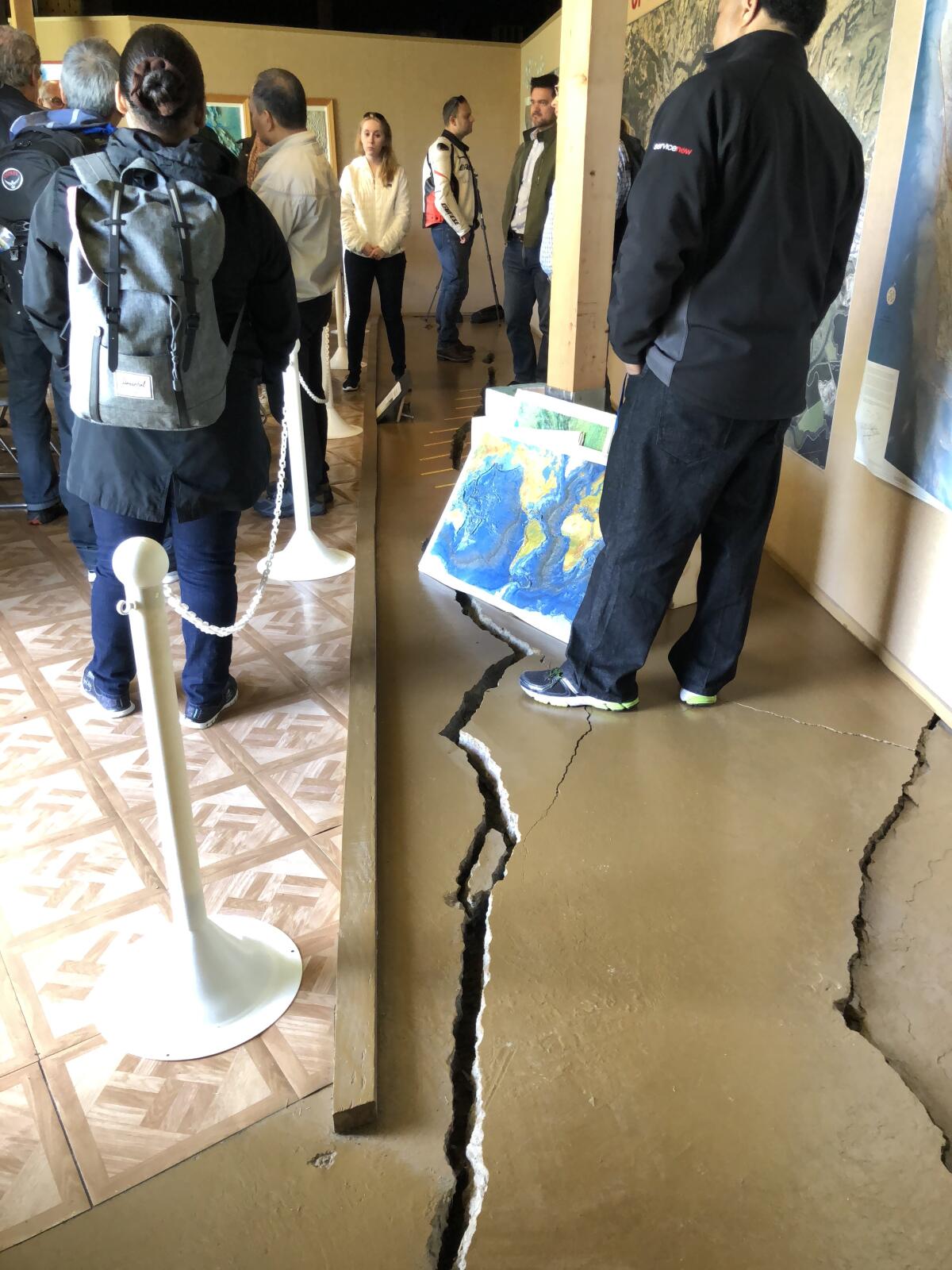
One family found the foundation of their home fractured in two. When the earthquake came, it sounded like an explosion, with the western half of the house moving nine inches to the north, and the eastern half jumping, ending up more than half an inch higher than the western half.
“Ann and I just grabbed each other and screamed,” homeowner Tim Whitlock told The Times in 2014. “It was one of those things when you have no control whatsoever. And you’re shaking. And you’re thinking at any moment, the house could come apart and flatten. That’s a terrifying thing.”
The damage was so bad after the earthquake that the city of Napa ordered the Whitlocks out of their house. But neighboring homes suffered virtually no structural damage, underscoring how different it could be if a building is just a few feet away, and not on top of, the fault.
)
Have cities followed the state law that has generally banned construction on top of faults?
A Los Angeles Times analysis published in 2013 said that the cities of Los Angeles and Santa Monica in the prior decade approved more than a dozen construction projects on or near two well-known faults without requiring seismic studies to determine if the buildings could be destroyed in an earthquake.
Los Angeles building records showed that when officials approved projects, they used outdated information that placed the Santa Monica and Hollywood faults much farther away from the developments.
City officials could have demanded extensive underground digging to determine whether a fault lies under a development before allowing the projects. Instead, they accepted the developers’ geology reports and concluded that fault studies were not required.
One big problem, the story found at the time: The state had not created fault zones for the neighborhoods around the Hollywood or Santa Monica faults, so the cities were not required to enforce the law there.
The Times reported that California’s once ambitious effort to map earthquake faults across the state slowed to a crawl between 1991 and 2013, a victim of budget cuts. At the time, state officials said there are still about 300 maps to draw and even more to revise — including some in heavily populated areas of Southern California.
What happened as a result of that controversy?
Then-Gov. Jerry Brown in 2014 proposed a sharp increase in the state budget to map earthquake faults in California, which was approved by the state legislature. The Hollywood fault map was officially published later that year, and the Santa Monica fault map was released in 2018.
Has development been restricted in areas where the state has published an earthquake fault map?
Yes. In a suburb of Long Beach, a developer took painstaking care to avoid building new homes atop a fault in Signal Hill and instead put a road, tennis courts and parking lots atop or around the fault.
“You just don’t put someone’s bedroom on top of a fault. There’s a legal issue, but also a moral issue there,” a developer of the Signal Hill neighborhood told The Times in 2014.
When a fault was discovered below a school site near downtown L.A., officials tore down a portion of the new school and reserved the area over the fault as a park.
What has happened when major buildings are found to be on top of a fault?
State law allows existing buildings to remain on top of earthquake faults, but sometimes officials or property owners choose to demolish them.
School officials have been particularly concerned about leaving buildings up if they’re known to be on top of faults. At San Bernardino Valley College, legal counsel advised the district’s board members “that if they didn’t fix the buildings … they were personally liable,” said the chancellor at the time. San Bernardino Valley College demolished seven buildings along the San Jacinto fault in the 2000s.
Buildings found to be on top of an earthquake fault at Los Angeles Southwest College were demolished in the 1990s.
In Huntington Beach, the discovery of the Newport-Inglewood fault running under a portion of a shopping center led to developers demolishing the center and rebuilding it. The developers made sure to put only a parking lot directly on top of the fault.
Some proposed developments never get off the ground. A Times story published in 2014 noted that in Inglewood, a preliminary underground study found a fault crossing a tiny lot that developers had for years tried to turn into apartment buildings. Once the fault was found, “there was no point going any further,” a city official said.
In the Bay Area, the discovery of the Hayward fault underneath old city halls for Hayward and Fremont led to their closure. The old Fremont City Hall was demolished in 2004. But in Hayward, the historic city hall remains standing, full of cracks as the abandoned building is slowly ripped apart by the fault.
Times staff writer Rosanna Xia contributed to this report.
More to Read
Sign up for Essential California
The most important California stories and recommendations in your inbox every morning.
You may occasionally receive promotional content from the Los Angeles Times.
