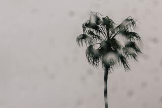
Atmospheric river stalls over Monterey, triggers mudslides and is set to hit L.A.
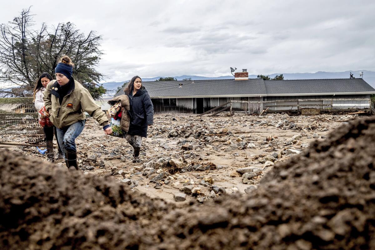
MENLO PARK — The West Coast’s enormous atmospheric river stalled over Monterey County on Wednesday, triggering mudslides and threatening other areas even farther north, with the storm expected to swing southward Thursday, posing risks to parts of Southern California burned by last year’s wildfires.
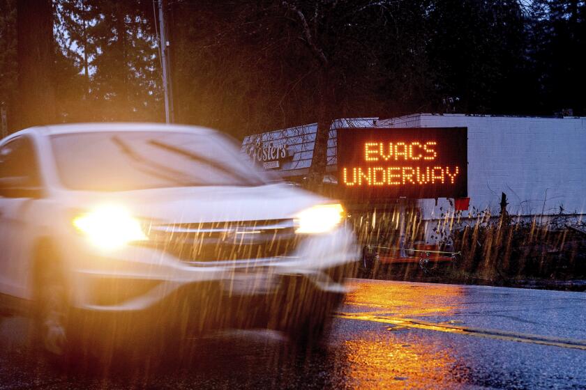
Although the most torrential rains stalled over Monterey and Big Sur, weather forecasters say isolated but severe storms still threaten the area — and officials are maintaining evacuation orders throughout the region.
“We can expect some pretty robust showers ... tonight that could lay down rates that could meet our thresholds for flash flood warnings for the post-wildfire debris flows,” said Brian Garcia, a meteorologist at the National Weather Service, during a Santa Cruz County news conference, Wednesday.
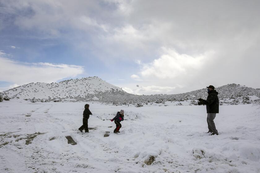
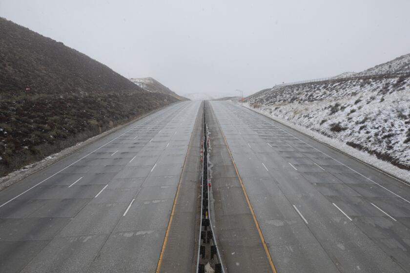
A winter storm swept over much of Southern California, dusting mountaintops with snow and bringing traffic to a standstill on several passes.
A low pressure system off the Pacific Northwest is pulling the atmospheric river — which was predicted to trend very quickly south — toward the battered Central Coast, according to Brayden Murdock, a meteorologist at the National Weather Service in Monterey. Overnight, it should finally head south, forecasters say, although later than initially predicted.
The storm delivered several feet of snow to the Sierra Nevada, particularly the area between Yosemite National Park and Mammoth. More snow is expected into Friday, which could help replenish the state’s water supplies diminished by dry winters, including the last three months. The icy conditions have already made for miserable driving in the mountains.
The Bay Area and Central Coast were battered by the storm Tuesday night and Wednesday morning, with heavy rain, high winds and snow in some of the higher elevations. By Wednesday morning, 24-hour precipitation totals collected by the National Weather Service showed 5.2 inches of rain at Hearst Castle and nearly 4 inches in Carmel Valley Village.
Power for roughly 575,000 customers was affected throughout the day, said Matt Nauman, PG&E spokesman. As of 4 p.m. Wednesday, only 141,000 still remained without power, mostly in Humboldt, Sacramento and Stockton areas, he said.
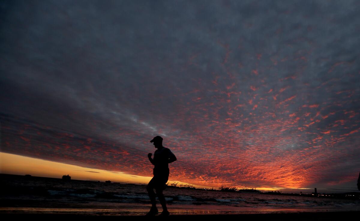
Snow dusted the tops of mountain ridges in Sant Cruz County’s Bonnie Doon and Boulder Creek, as well as in Sonoma and Napa counties.
Photos on social media showed a major mudslide in Big Sur across part of Highway 1, which had been closed Monday in advance of expected debris flows, as well as in burn scar areas near the footprint of the River fire in Monterey County.
Video and drone footage of debris flows near Salinas were posted on social media Wednesday afternoon.
Although Santa Cruz mountain residents close to the CZU August Lightning Complex fire were spared the worst Tuesday night, CalFire CZU Unit Chief Ian Larkin warned they’re “not out of the woods” yet.
Fire departments within the region are still looking for debris flows, and have spotted some movement along Boulder Creek’s Jamison Creek and Alba Road, according to Larkin.
Larkin said county and state geologists are surveying the areas, and that a rescue task force was deployed in the region to respond should one occur.
Californians regularly experience wildfires followed by heavy rain and mudslides. Here’s what you need to know to stay safe.
“Those folks are available to us immediately to get them in when it is safe,” Larkin said, for potential rescues and “need be, recoveries.”
Santa Cruz County officials intend to keep the evacuation orders in place until at least Thursday.
Officials are also urging those who ignored the orders initially to reconsider getting out.
“We want people to go home. But we want to keep people safe so, you know, this weather as it comes in is a concern, which is obviously why that order is staying in place,” said Chief Deputy Chris Clark of the Santa Cruz County Sheriff’s Office.
“Know how to get out,” Clark said. If residents decide to stay, however, they should be aware that circumstances can change.
“A tree could fall over a road and you could get trapped,” Clark cautioned.
Flash flood warnings are still in effect for much of Santa Cruz County, including areas previously burned by the Dolan, Carmel and River fires until Thursday afternoon. The warning for the CZU burn scar is expected to lapse Thursday evening.
In San Luis Obispo, 1.5 to 2 inches of rain had fallen by early Wednesday morning. “Copious amounts of rain” are expected in the foothills, the weather service said, and a flash flood watch is in effect until Thursday evening.
Though the storm is traveling north, for now, the forecast for Southern California is largely unchanged, said Lisa Phillips, a meteorologist at the National Weather Service in Oxnard.
“The storm is briefly moving up the coast but it’s still expected to push through Southern California,” Phillips said.
The L.A. area remains dry for now, but a few showers may arrive late Wednesday and grow heavier Thursday into Friday
The Los Angeles area may see light rain as early as Thursday morning. Rainfall will intensify Thursday afternoon and into Saturday. Between 1.5 and 3.5 inches are expected on the coast and in the valleys, with 2 to 5 inches in the foothills, according to Joe Sirard, a meteorologist for the National Weather Service in Oxnard.
Mountain areas above 6,000 feet could see 1 to 3 feet of snow. The weather service issued a flash flood watch for areas burned last year by the Bobcat, Lake, and Ranch2 wildfires.
There is a “good possibility of moderate debris flows” in these burn scars, Sirard said. Urban and street flooding is also likely as the rain picks up.
“With enough high-intensity rainfall, there could be a flash flooding even away from burn areas,” Sirard said.
The weather service also warned of strong winds between 35 and 45 knots over the sea. Steep waves could reach between 14 and 18 feet for coastal waters. Northern waters will see the biggest impact, with wind gusts up to 50 knots north of Point Sal State Beach.
Inner waters south of Point Mugu could see gusts of 20 to 30 knots and steep waves between 6 and 8 feet.
More to Read
Sign up for Essential California
The most important California stories and recommendations in your inbox every morning.
You may occasionally receive promotional content from the Los Angeles Times.
